
Mount Cammerer Fire Lookout

Stone fire lookout with sweeping views after a stout climb
Mount Cammerer Fire Lookout, Great Smoky Mountains National Park
InsideGreat Smoky Mountains National Park

Overview

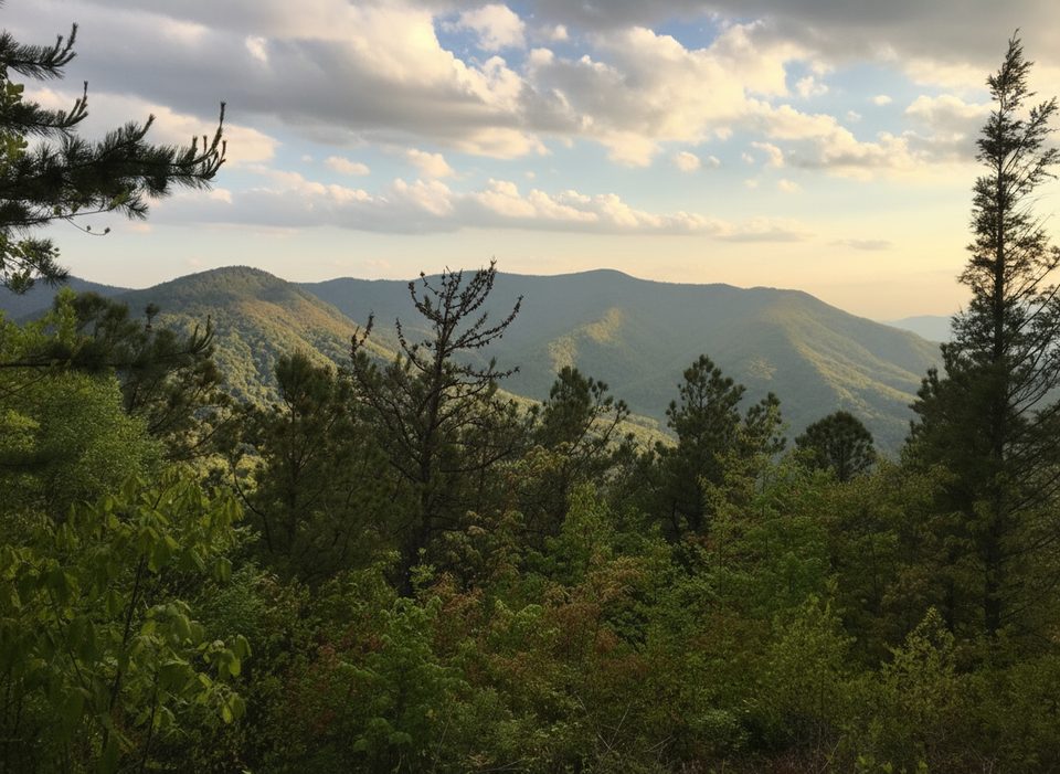
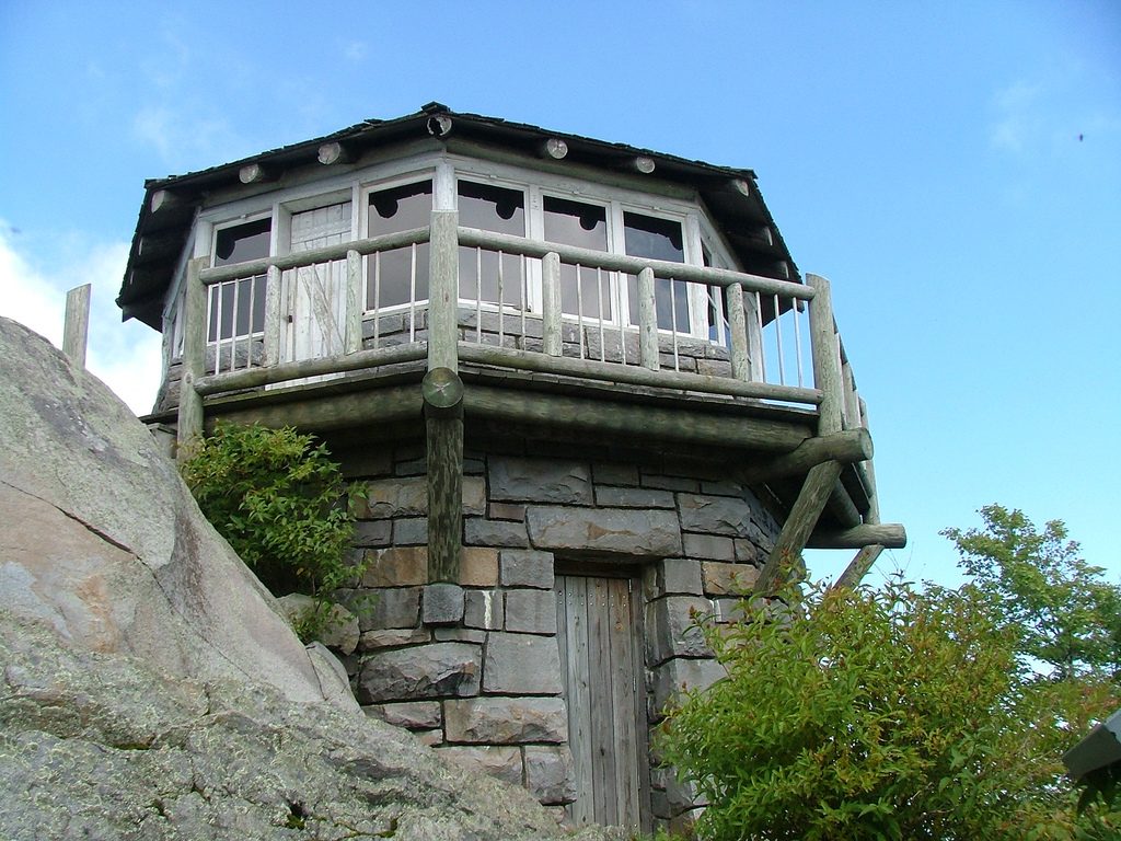
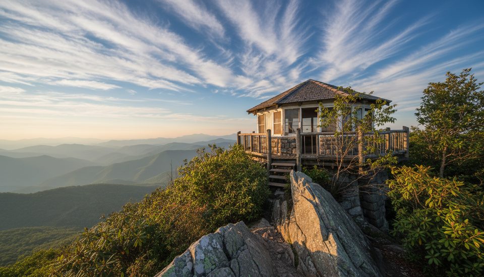
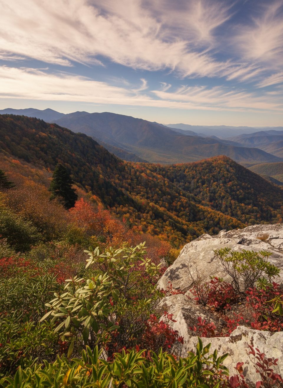
Mount Cammerer tops out around 4,928 feet with an octagonal stone fire lookout that sits right on the craggy summit knob. The reward is a wraparound panorama over the eastern Smokies, Cocke County, the Blue Ridge, and the Pigeon River Gorge—on clear days, long‑range views stretch for many miles. Autumn is the showstopper season here.

The Hike: Common Routes

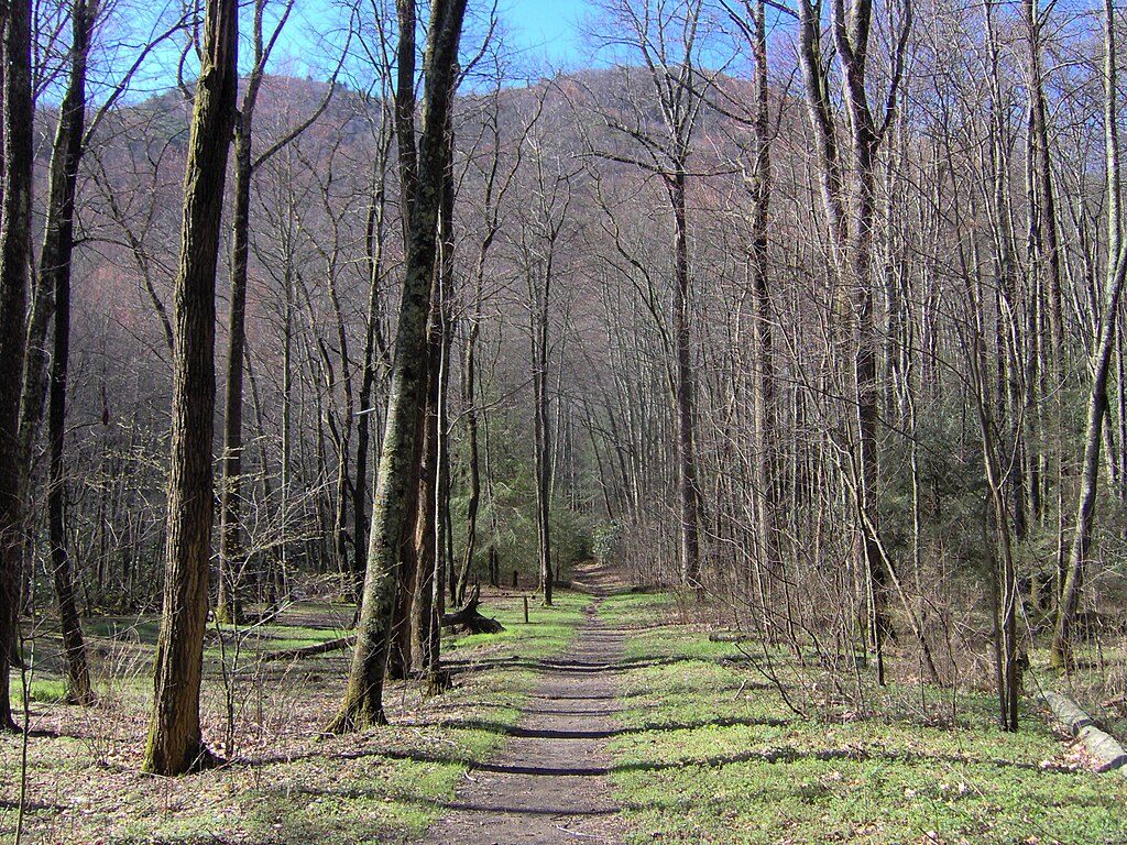
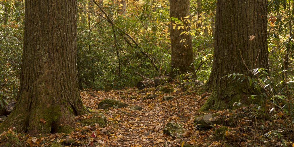
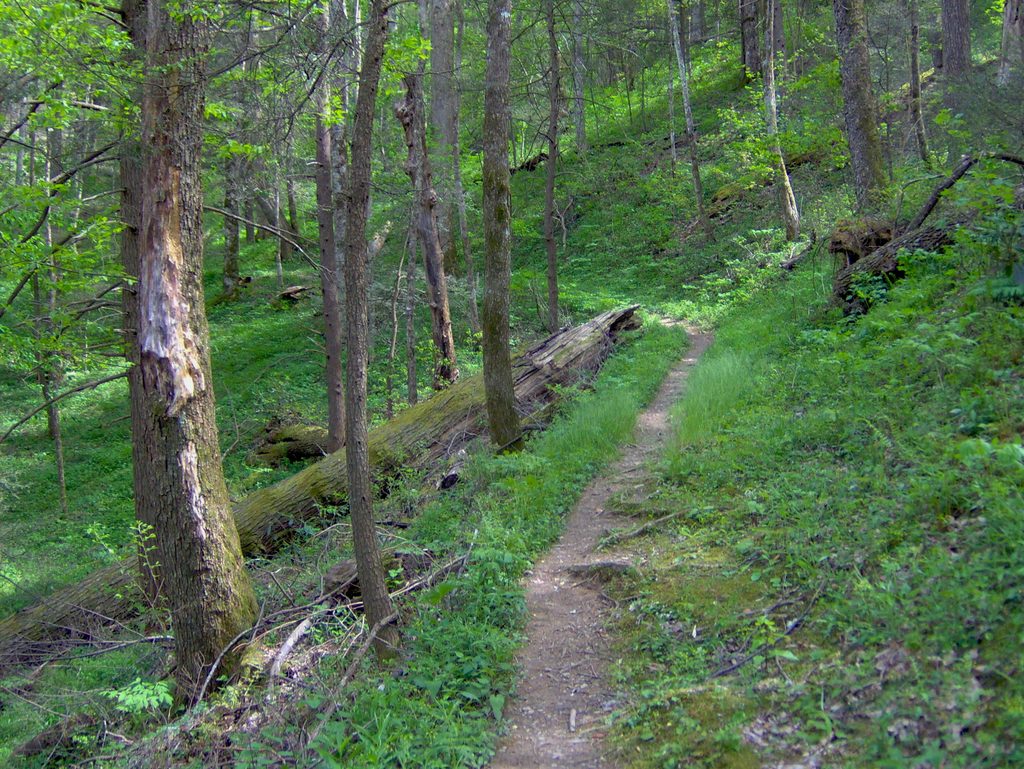
  • Most hikers start at Cosby Campground via Low Gap Trail to the Appalachian Trail, then a short spur to the tower (about 11.2 miles roundtrip). The first 2.9 miles up Low Gap are a sustained, steep grind; once on the AT it eases a bit before the rocky final 0.6‑mile spur.
  • From Big Creek, take Chestnut Branch to the AT, then the spur (roughly 12 miles roundtrip). It’s slightly longer and steeper overall, with ample parking near the ranger station.
  • Longer loops exist from Cosby using the Lower Mount Cammerer Trail combined with the AT and Low Gap (about 15–16 miles total).

Expect a strenuous day regardless of route—start early and pace yourself.

What You’ll See at the Top

A low‑slung, stone‑and‑timber lookout blends into contorted sandstone and quartzite outcrops. Views sweep toward Mount Sterling and Snowbird Mountain, across the Tennessee foothills, and along the state line ridges. Many hikers wander the summit rocks for bonus vantage points.

History & Geology

The tower was built by the Civilian Conservation Corps in the late 1930s using native stone and timber, served fire spotters into the 1960s, then was restored to its mid‑century look after weathering took a toll. The summit’s rugged character comes from ancient Thunderhead sandstone of the Ocoee Supergroup, uplifted along the Greenbrier fault and sculpted into the craggy knob you stand on today.

Trail Conditions & Safety

Footing ranges from rooty and rocky to slick bedrock when wet or icy. Weather can change fast—clouds and wind can sock in the summit and drop temperatures quickly. The final spur is short but uneven and rocky. In warm months, keep an eye out for rattlesnakes sunning on the summit rocks.

Logistics: Parking, Restrooms, Water

There are no amenities at the tower—no bathrooms, water, or trash service. Use restrooms at Cosby Campground/picnic area when open, and pack out all trash. You may cross streams early on some approaches, but treat any water you collect. Parking at Cosby’s hiker lot can fill on busy days; arrive early.

Best Time to Visit

  • Season: Fall for foliage and the clearest long‑range views; winter and shoulder seasons can be icy but quiet.
  • Day and weather: Go on a clear day for the best vistas and safer rock scrambling. Start early to beat parking crunch and allow time to enjoy the summit light.
  • Crowds: Cosby is generally quieter than the park’s main corridors, but this hike is popular on prime fall weekends.

Extra Notes

  • The Appalachian Trail skirts the south slope; the signed spur to the tower is about 0.6 miles and includes a hitching post where horses must be left.
  • Plan for an all‑day effort; many hikers report 5–6 hours roundtrip depending on fitness, breaks, and conditions.

Pros

  • Restored 1930s CCC stone lookout with true 360° mountain views
  • One of the few Smokies fire towers you can still climb

Cons

  • No restrooms, water, or services at the tower
  • Steep, strenuous approach with rocky, rooty footing and fickle weather

Tips

  • Start at sunrise from Cosby to secure parking and enjoy cooler temps.
  • Choose a clear day—clouds can sock in the summit and kill the views.
  • Use the Cosby Campground/picnic area restrooms before you start; none at the top.
  • Carry plenty of water and snacks; there’s no potable water and limited sources on ridgelines.
  • Wear sturdy shoes and consider poles—the first miles up Low Gap are steep and rocky.
The Parkwolf tour guide sitting on a phone mounted in a car

Parkwolf Tour Guide

Like a tour guide in your car.

Save the places you found around Great Smoky Mountains, then let Parkwolf guide the drive between them.Download Parkwolf on the App Store