Moderate

Lower Mount Cammerer Trail

A quiet, gentle climb with streams and a bonus Sutton Ridge view
Lower Mount Cammerer Trail, Great Smoky Mountains National Park
Distance15 mi
Typical time6.5 hr
DifficultyModerate
PetsNot allowed

Overview

Lower Mount Cammerer is the mellow way to approach the Cammerer massif from Cosby. It runs about 7.5 miles one way from Cosby Campground to the Appalachian Trail (roughly 15 miles out-and-back if you return the same way). Expect a mostly gentle grade with a net elevation gain around 1,200 feet—easy to moderate by Smokies standards—plus a shady, mostly forested experience rather than big-view payoff.

Highlights

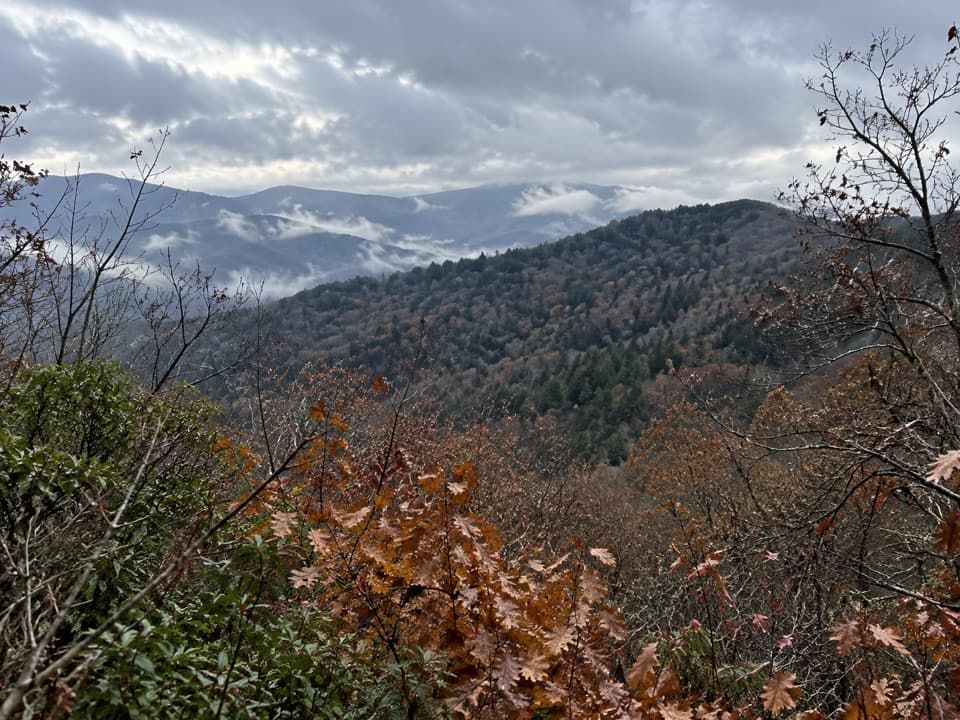
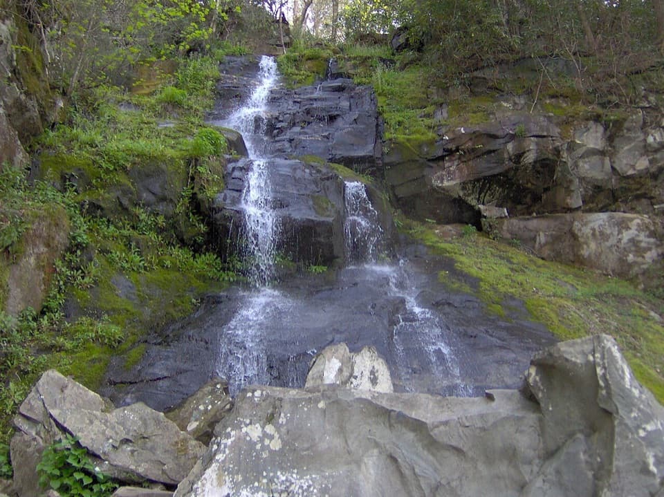
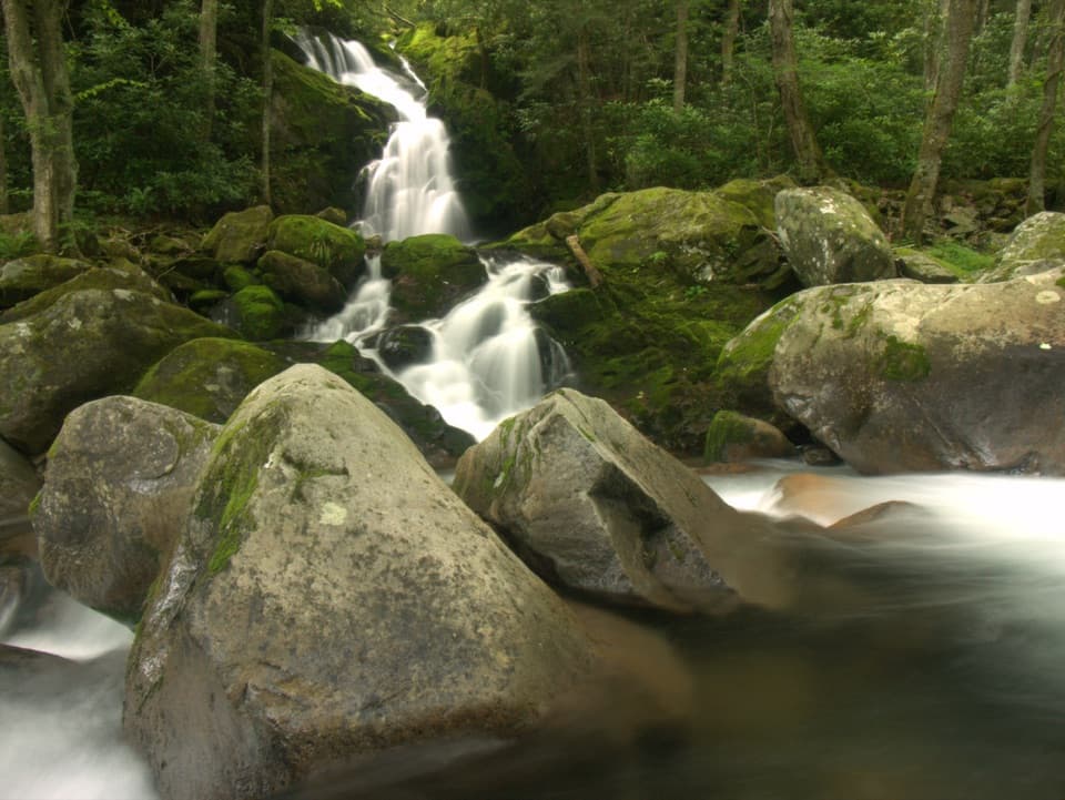
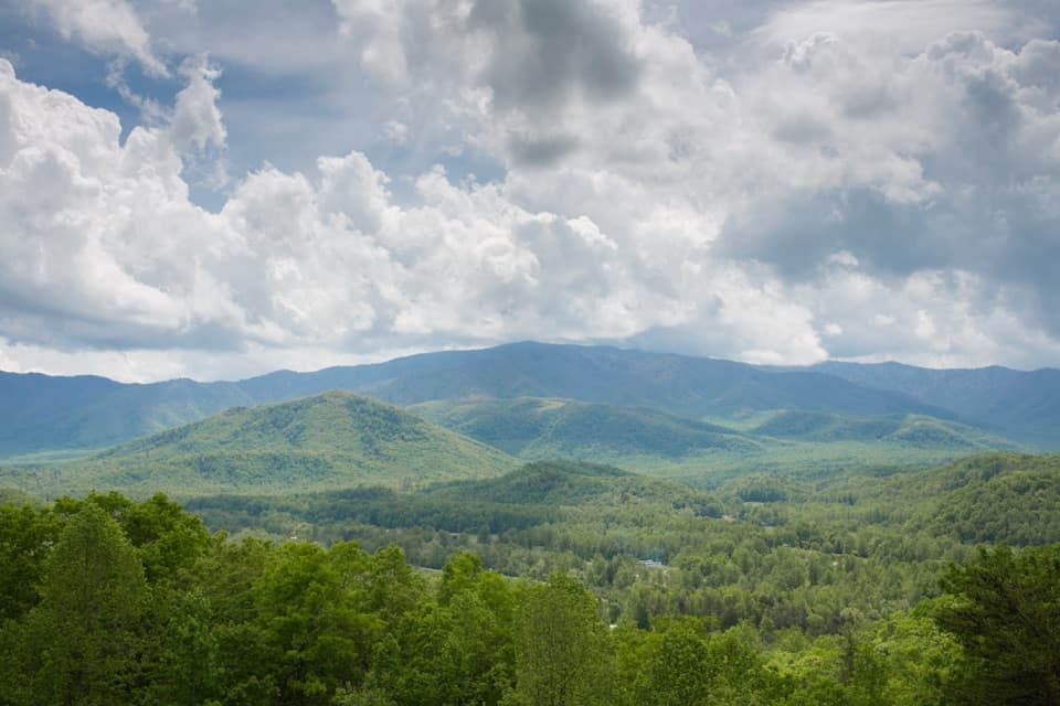
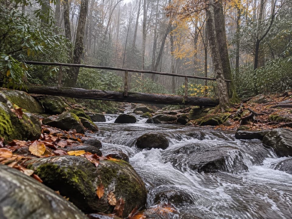
At 1.4 miles, a short spur leads to Sutton Ridge Overlook for a peek into Cosby Valley. The trail threads past multiple creeks—Tom’s Creek, Riding Fork, Gilligand Fork, Rowdy Creek, Groundhog Creek, and Carolina Prong—mostly easy rock hops in normal flows. Backcountry Campsite 35 sits around 3.3 miles and makes a nice lunch turnaround for day hikers (overnighters need a reservation/permit). Around 5.9 miles, a subtle spur leads to Phillips Cemetery, one of the park’s highest historic cemeteries. The upper end meets the Appalachian Trail near 7.5 miles.

What It Feels Like

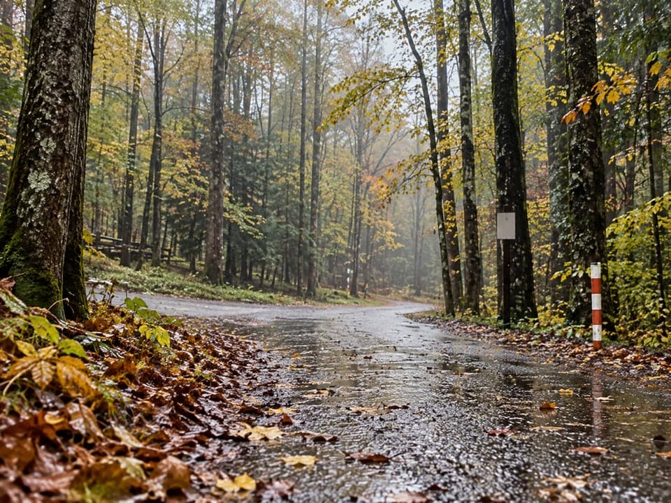
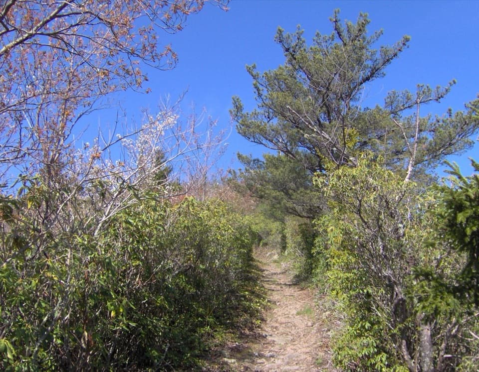
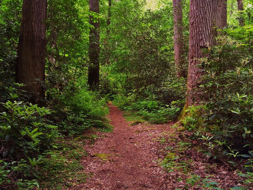
This is a cruiser: soft grades, hemlock-hardwood forest, and the soothing rhythm of small stream crossings. Views are limited outside of Sutton Ridge and a few peeks through the trees, so come for quiet miles, not vistas. In warm months, sections beyond Sutton Ridge can be a bit overgrown; expect brushy stretches and occasional blowdowns.

Who Will Like It (and Who Won’t)

If you prefer a longer, less punishing climb to earn your miles, this is your route. It’s also a smart descent leg on the popular big loop (Low Gap → AT → Mount Cammerer spur → Lower Mount Cammerer) because the grades are kinder on knees. If your goal is the fire tower’s 360-degree panorama with a shorter overall day, the steeper Low Gap → AT → tower route (~11 miles round-trip with 3,000+ feet of gain) is the better play.

Best Time to Hike

It’s hikeable year-round. Spring brings wildflower interest, early summer rhododendron shows up along this side of the mountain, and October foliage is prime. Summer vegetation can make the trail feel tighter in places; cooler shoulder seasons offer clearer views through leafless trees and fewer bugs. Weekdays are typically quieter; an early start helps keep the forest to yourself.

Tips and Logistics

  • Trailhead is in Cosby Campground; bathrooms and straightforward parking are available. Watch the signs so you don’t wander onto the wrong trail at the start.
  • Backcountry Campsite 35 is a popular day-turnaround; permits and reservations are required if you plan to stay overnight.
  • This trail has historically seen horse use, but it has been noted as open to hikers and closed to horses at times—check current status before you go. Expect some tread wear in spots.
  • For a full-value day, combine the loop: climb steep via Low Gap, tag the tower, then descend this gentler trail back to Cosby.

Length note: 7.5 miles one way (about 15 miles total out-and-back). If you only go to Sutton Ridge Overlook, plan on ~2.8 miles round-trip. Campsite 35 as a day-turnaround is ~6.6 miles round-trip.

Pros

  • Multiple easy stream crossings add character without slowing you down
  • Historic Phillips Cemetery and a quiet, less-traveled vibe

Cons

  • Limited views for most of the hike beyond Sutton Ridge
  • Brushy, overgrown sections in warmer months can snag legs

Parking

Park at Cosby Campground’s day-use area near the signed trailheads for Low Gap and Lower Mount Cammerer; restrooms available. Follow signs carefully at the start.

Caution

Expect seasonal overgrowth, poison ivy, occasional blowdowns, and rock-hop creek crossings after rain. Bears are active—manage food and trash. Backcountry camping at Campsite 35 requires a reservation/permit. This trail has been noted as open to hikers and closed to horses at times; check current status and tread conditions.

The Parkwolf tour guide sitting on a phone mounted in a car

Parkwolf Tour Guide

Like a tour guide in your car.

Bring Great Smoky Mountains trail research into the car, with offline maps and stories that play as you drive.Download Parkwolf on the App Store