Pros & cons
PROS
- Iconic border photo spot with sweeping views at Newfound Gap
- Easy stop with large parking area and direct Appalachian Trail access
CONS
- Very crowded midday; parking often fills
- Winter storms can close the road and leave slick conditions
Overview
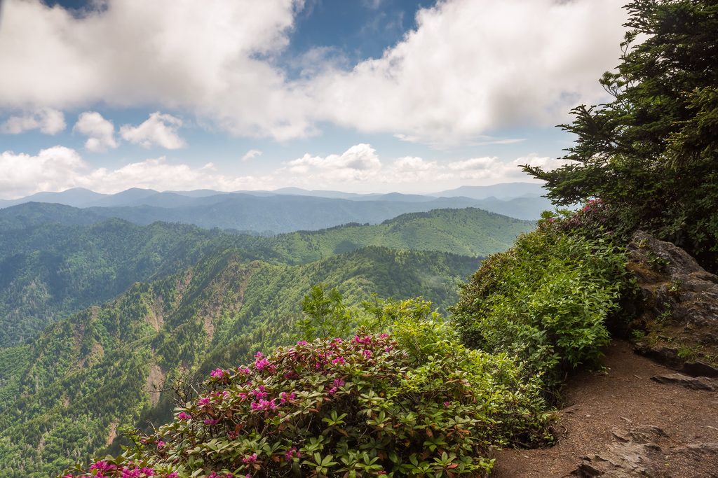
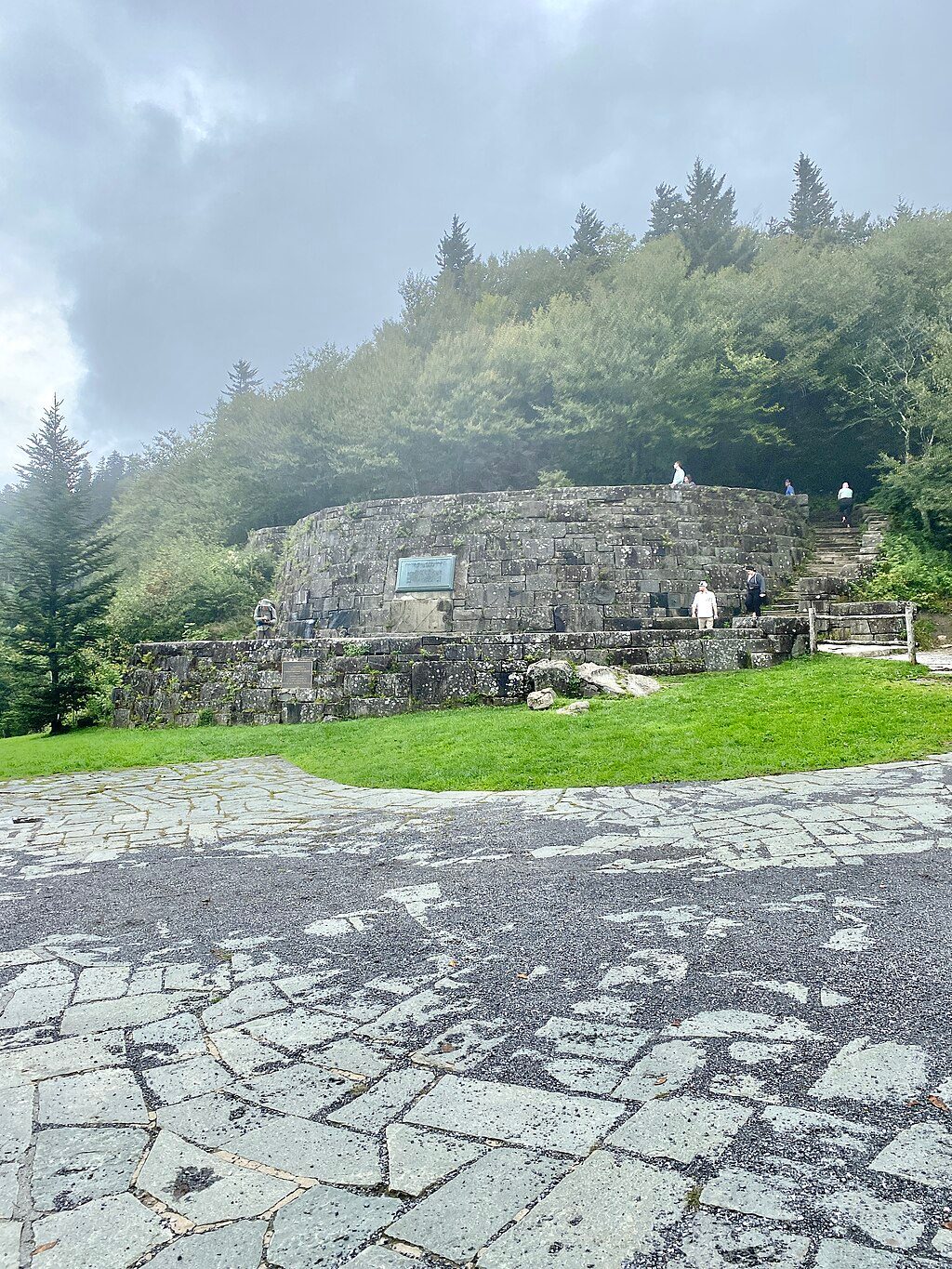
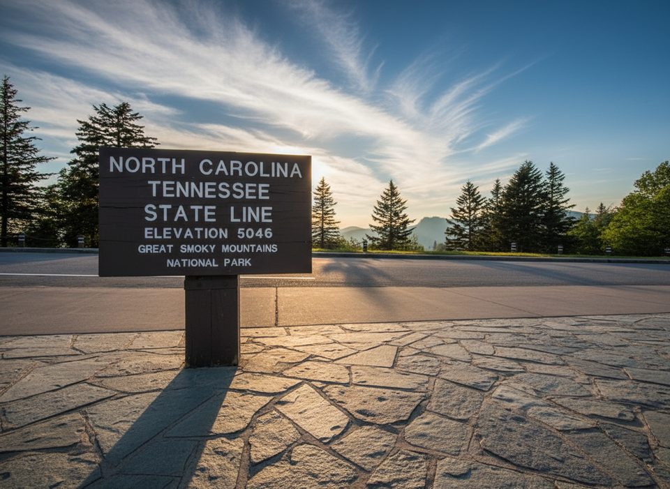
This is the famous state-line sign at Newfound Gap (elev. 5,048 ft), right where North Carolina meets Tennessee. It’s a quick, satisfying stop: snap a two-states-at-once photo, soak up the long mountain vistas, and, if you have time, step onto the Appalachian Trail that crosses the gap. Just a few steps away is the Rockefeller Memorial, where President Franklin D. Roosevelt dedicated the park in 1940.
What to Expect
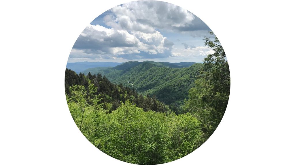
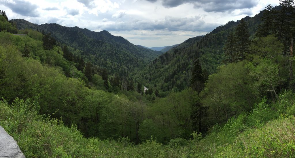
- A big overlook and a sprawling parking area make this an easy pull-off for photos and views.
- The Appalachian Trail literally crosses here, so it’s a handy spot to sample a short stretch of the AT.
- Conditions change fast at this elevation. It can be windy and cool even when the valleys are warm.
Logistics & Essentials
- Parking tag required if you’re parked more than 15 minutes anywhere in the park.
- Restrooms are available at the gap. Kuwohi/Clingmans Dome Road (nearby) is seasonal.
- In winter, Newfound Gap gets significantly more snow than surrounding towns. The park uses plows and a gravel/sand mix (no chemical de-icers), so even when open, surfaces can stay slick.
Why It’s Worth a Stop
You’re not just getting a border sign selfie; you’re standing at one of the park’s most storied passes with sprawling Smokies views, a slice of park history at the Rockefeller Memorial, and immediate access to one of America’s great footpaths.
Nearby & Wildlife
If you’re headed to or from the North Carolina side, detour to the Oconaluftee area—open meadows there are a reliable place to look for elk from a safe distance.
Best Time to Visit
- Early morning or late afternoon for easier parking and softer light.
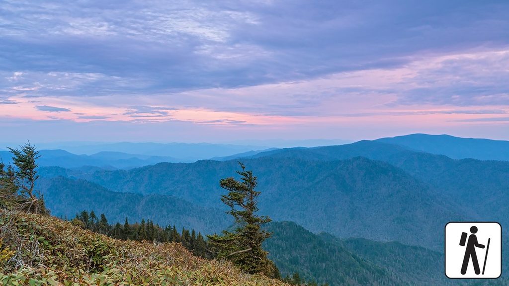
- Sunrise is gorgeous from the overlook; sunset can be excellent too.
- Check road status after winter storms; US‑441 over the gap can close temporarily.
Where it is
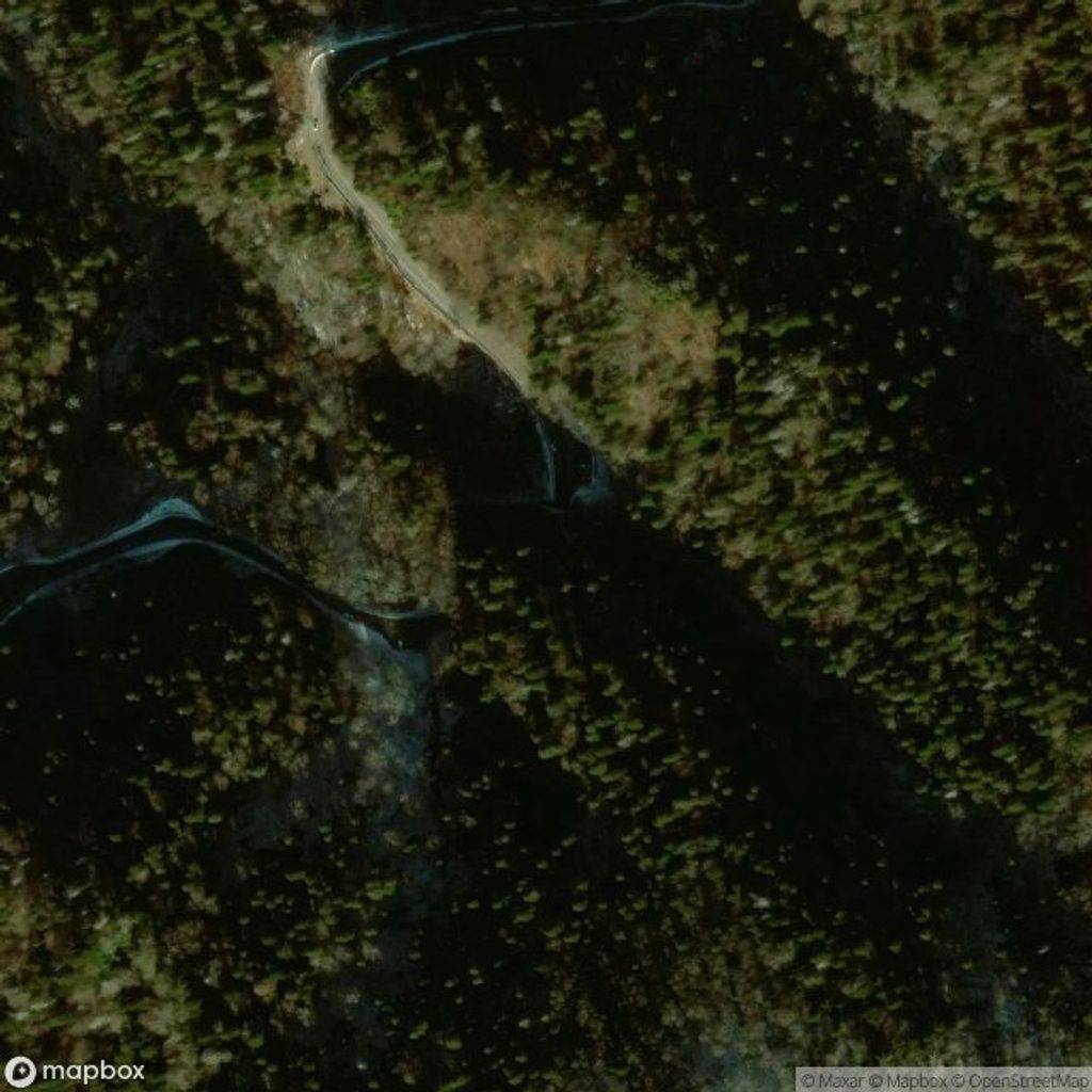
35.6108, -83.4257Tips for North Carolina–Tennessee State Line Sign
- 01Arrive before 10am or after 5pm for easier parking and fewer crowds.
- 02Bring a layer—the gap is windy and cooler than the valleys.
- 03If you’ll linger for photos, display a valid parking tag.
- 04Check road conditions in winter; closures over the gap are common.
- 05Want wildlife? Swing by the Oconaluftee meadows on the NC side for elk viewing.
Amenities
Near North Carolina–Tennessee State Line Sign
All places →All trails →
0.1 mi awayRockefeller MemorialHistoric terrace with big views right on the state lineParking · Restroom
0.1 mi awayAppalachian Trail (GSMNP section)72 rugged ridge miles with towers, classic knobs, and big views.Challenging · 72 mi · 168 hr
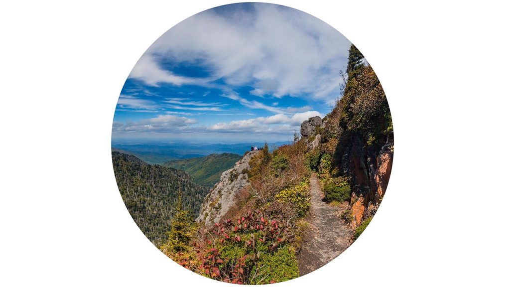
0.1 mi awayAppalachian Trail: Newfound Gap to Charlie’s BunionHigh-ridge Smokies hike to a cliffy perch with border-to-border viewsModerate · 8 mi · 5 hr
0.1 mi awayBoulevard TrailLong, rolling ridge to Mt. LeConte with big views and fewer crowdsChallenging · 16.2 mi · 9 hr
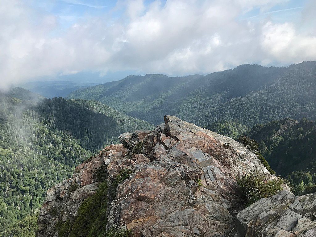
0.1 mi awayCharlies Bunion (Appalachian Trail)Bite-size AT ridge walk to a dramatic, cliffy rock perchModerate · 8 mi · 4.3 hr
0.1 mi awayNewfound GapIconic state line overlook with big views and easy AT accessParking · Restroom
0.5 mi awayMorton OverlookRoadside, west-facing sunset perch on Newfound Gap RoadPullout · Parking
0.6 mi awayMorton TunnelShort mountain tunnel beside the favorite sunset overlook