
Place · 0 mi away
Moderate
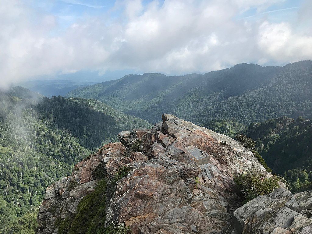
This is an 8.0-mile total out-and-back from Newfound Gap that samples some of the best ridge walking on the Appalachian Trail. Expect sustained but manageable ups and downs, rocky/rooty tread, and huge payoff views from the Charlies Bunion rock outcrop. Crowds are common, but the scenery and high-elevation feel make it one of the park’s standout day hikes.
Start from Newfound Gap and follow the white-blazed Appalachian Trail east. Early on you’ll get glimpses toward the North Carolina Smokies and, near 1.7 miles, pass the junction with the Sweat Heifer Creek Trail. Around 2.7 miles, keep straight at the Boulevard Trail junction (the left turn heads to Mount LeConte). A quarter-mile later you’ll pass Icewater Spring Shelter and its namesake spring (treat all water). About four miles from the trailhead, a signed spur leads to Charlies Bunion—use extreme care on the exposed rock.
Plan on roughly 1,800–1,900 feet of total elevation gain depending on devices and conditions. Typical moving time is around 4–5 hours for most hikers, plus breaks for photos and snacks.
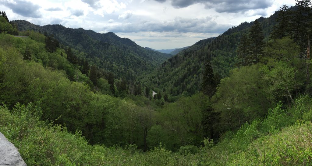
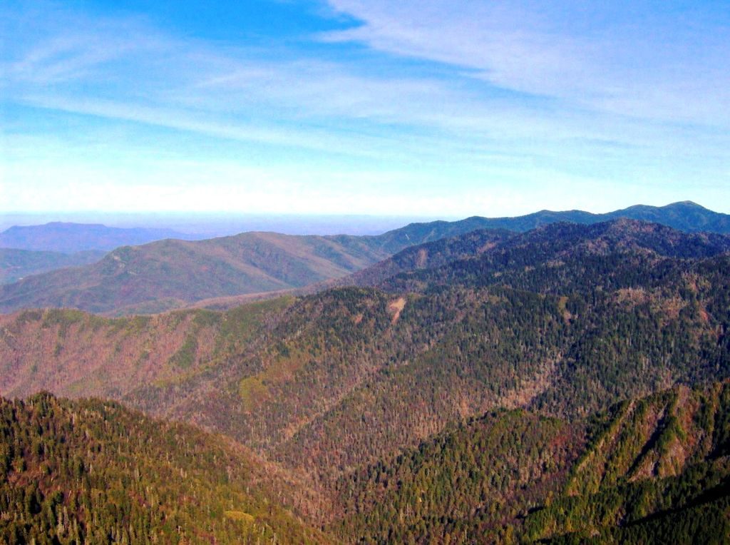
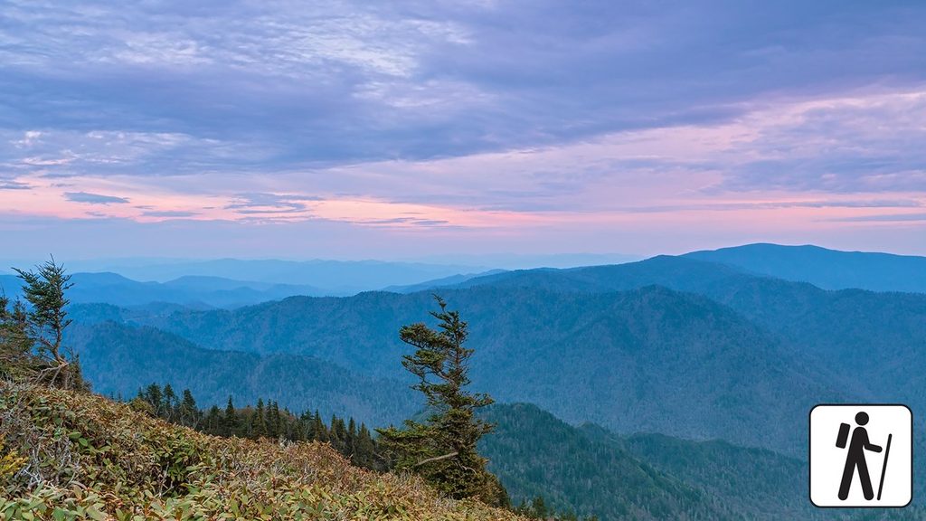
Much of the hike rides the spine of the Smokies near 6,000 feet, with views off both sides when the trees open up. You’ll walk through high-elevation red spruce–Fraser fir forest, spot spring and early-summer wildflowers, and skirt features like Masa Knob. The Bunion itself is a rugged outcrop of the slate-heavy Anakeesta Formation, its craggy look shaped by a historic wildfire followed by heavy rains and a landslide. From the perch, you’ll pick out big names like Mount Kephart, Mount Le Conte, and Mount Guyot on clear days.
Start at sunrise for easier parking, cooler temps, softer light, and a chance to see that classic “smoky” valley vapor. Summer brings frequent afternoon thunderstorms—plan to be off the ridge early. In winter and shoulder seasons, ice and snow are common; traction devices can be essential. It’s almost always colder and windier up here than in nearby towns.
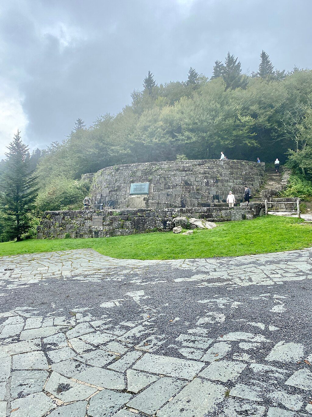
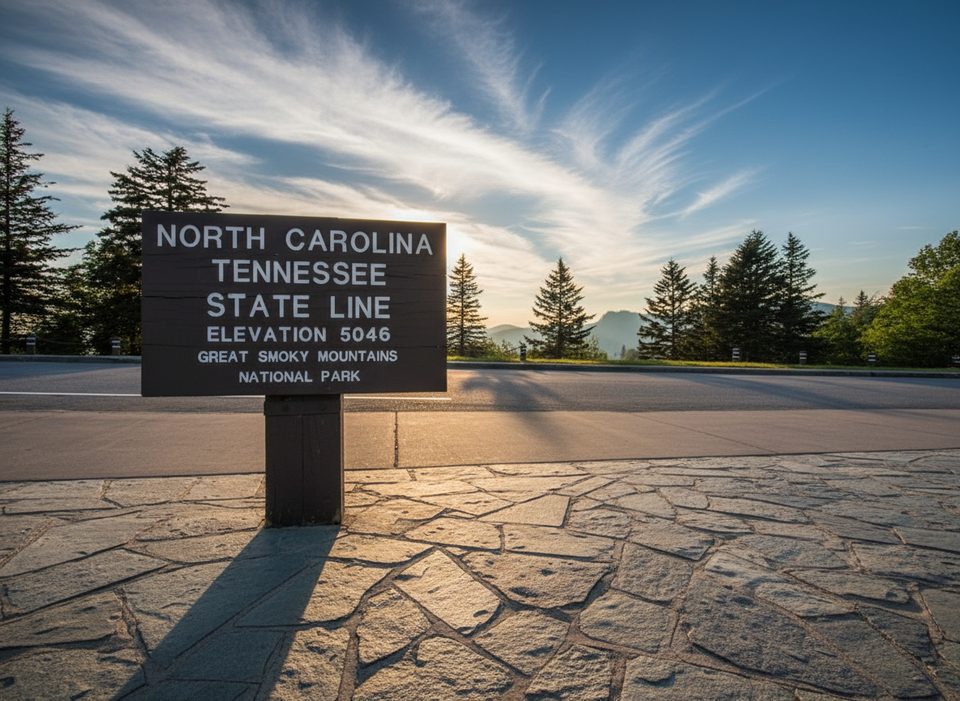
Park at Newfound Gap on US‑441; a parking tag is required if you leave your vehicle. Restrooms are by the overlook, and the AT begins just to the left. This is a popular trailhead and the outcrop can feel congested—patience and an early start go a long way.
Cell service is spotty to nonexistent—carry your essentials and let someone know your plan. Watch footing on wet roots and rocks, and stay well back from the Bunion’s cliff edges, especially in wind, rain, or ice.
Park at Newfound Gap on US‑441 (TN/NC border). A parking tag is required. The Appalachian Trail starts to the left of the overlook near the restrooms; arrive early as the large lot fills quickly.
Exposed cliffs at Charlies Bunion; keep well back from edges. Rocky, rooty, and sometimes muddy tread. Higher, colder, windier conditions with frequent summer thunderstorms; ice/snow possible—carry layers and traction in season. Little to no cell service.
Place · 0 mi away
Place · 0 mi away
Place · 0.1 mi away
Place · 0.4 mi away
Moderate · 0 mi away

Challenging · 0 mi away
Challenging · 0 mi away

Moderate · 0 mi away

Parkwolf Tour Guide
