
Place · 0 mi away
Moderate
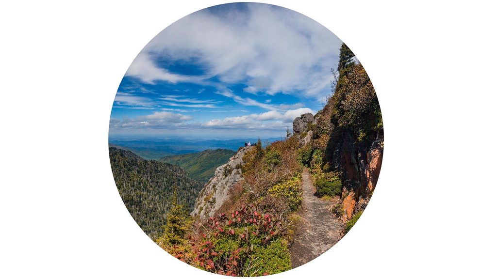
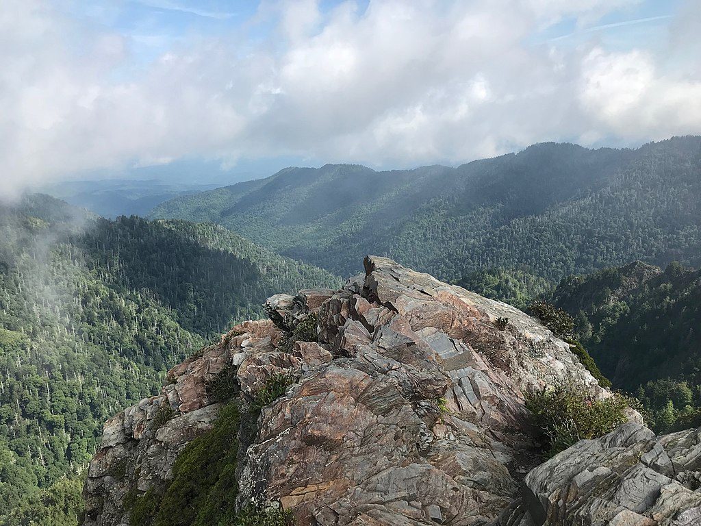
This is an 8.0-mile total out-and-back on the Appalachian Trail to Charlies Bunion, a rocky, treeless outcrop with sweeping Smokies vistas. Expect roughly 1,800–1,900 feet of cumulative gain and a moderate-to-steep feel thanks to rolling ridge climbs and rocky tread. If you want a classic Smokies ridge walk with real payoff, this one earns its crowd—just plan smart.
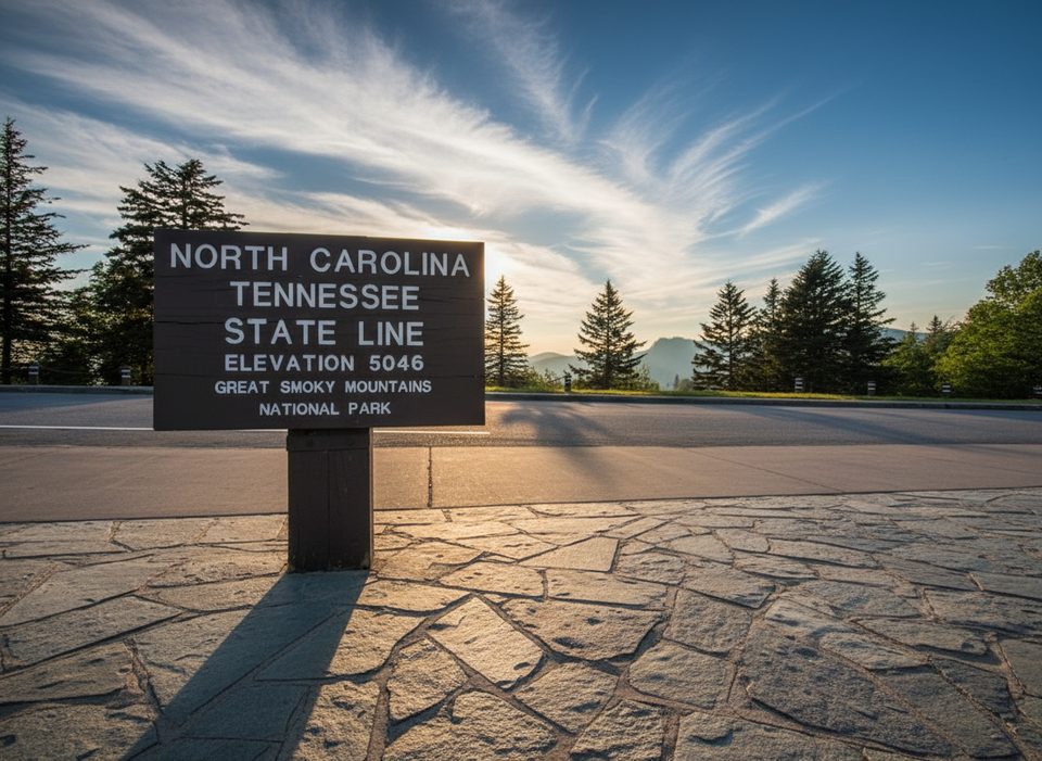
Start at the large Newfound Gap parking area on the state line and follow the white-blazed AT east. Around 1.7 miles you’ll pass the Sweat Heifer Creek Trail junction; at ~2.7 miles reach the Boulevard Trail junction. A short bit later you’ll pass Icewater Spring Shelter (treat water if you fill). Continue to the signed side trail near mile 4 to reach the Charlies Bunion overlook—watch the exposure and drop-offs. Return the same way.
This ridge rides 5,500–6,000 feet much of the way, which means cooler temps, frequent fog, and fast-changing weather. The tread is often rocky, rooty, and muddy. Trekking poles and grippy footwear help a lot, especially on the way back. Cell service is generally spotty to none; carry essentials and know your route (the AT is well signed at junctions).
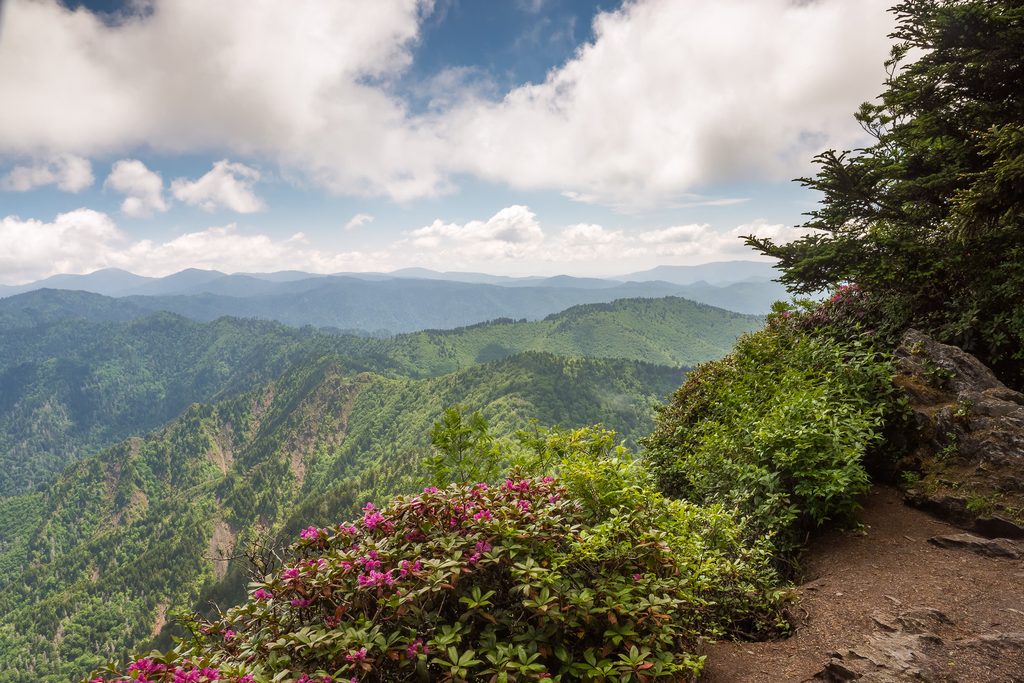
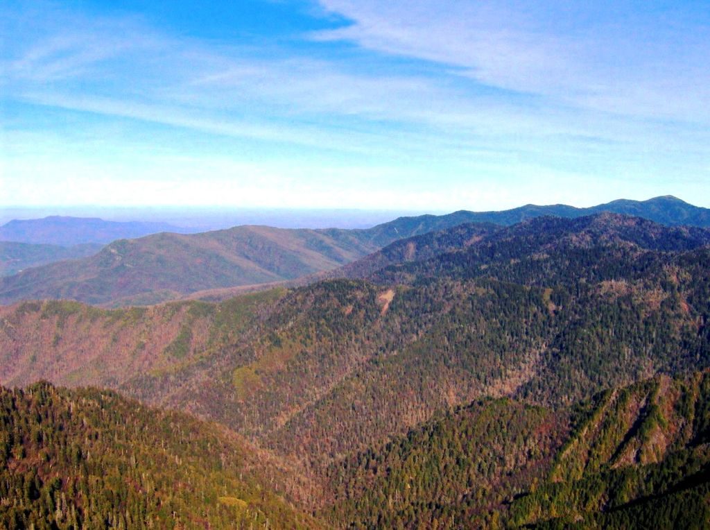
The Bunion’s perch delivers wide-open views along the Smokies crest, with the state-line ridge running beneath your feet. It’s popular for a reason. That said, the final outcrop can feel crowded and exposed, and on slick/icy days it’s not worth the risk. If you have time, the optional side trip to The Jump Off near the Boulevard junction adds a different, equally dramatic overlook.
There are significant drop-offs at the Bunion—keep kids close and stay back from edges. Black bears are active in this corridor; give wildlife distance, secure food, and stay alert. Icewater Spring flows near the shelter, but always treat or filter. Pack an extra layer and a shell even in summer; thunderstorms are common at elevation.
A parking tag is required when you leave your vehicle at Newfound Gap. The lot is large but fills early—arrive at dawn if you can. As of late August 2025, the Tennessee side of Newfound Gap Road (US-441) is closed due to a washout between Sugarlands Visitor Center and Newfound Gap overlook; access is partially open from the North Carolina side, with a planned reopening on or before September 30. Check current road status before you go.
Start early. You’ll score cooler temps, easier parking, and fewer people on the outcrop. Clear mornings can deliver sunrise color and that classic “smoky” vapor in the valleys, though fog is common after humid nights. Avoid the outcrop when conditions are icy or slick.
Horace Kephart is credited with naming Charlies Bunion after his friend Charlie Conner’s bunion; the name stuck on official maps. Adjacent Masa Knob honors photographer George Masa, whose work helped spur protection of these mountains.
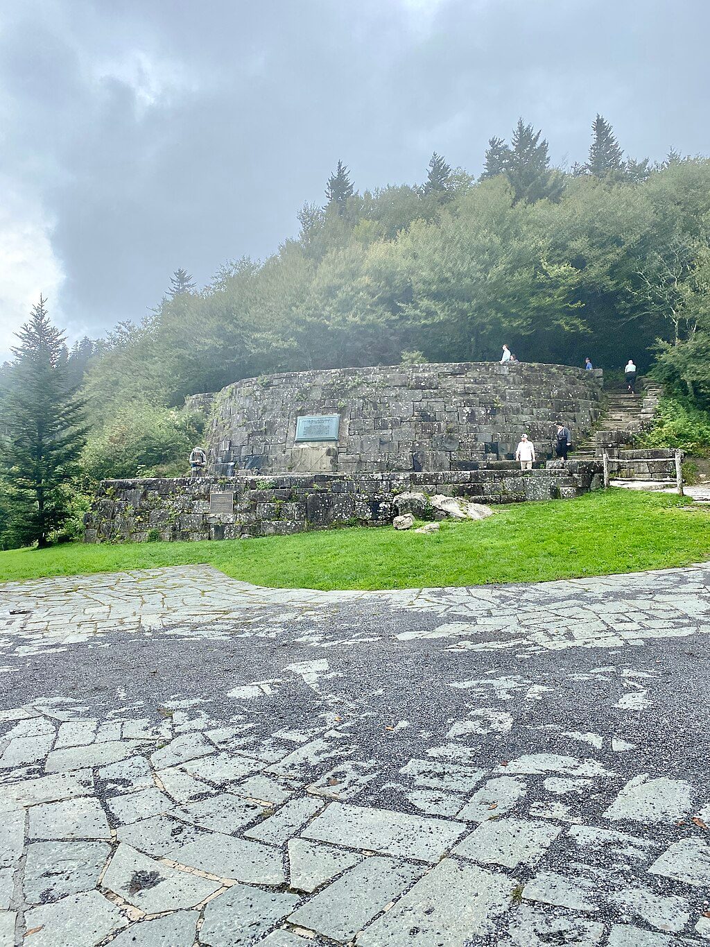
Park at the large Newfound Gap lot on the state line; a parking tag is required. Arrive early as the lot fills. As of late August 2025, US-441 is closed on the Tennessee side due to a washout; access is partially open from the North Carolina side with a planned reopening on or before Sept 30.
Rocky, rooty, often muddy tread; exposure and drop-offs at the Bunion. Weather changes fast at 6,000 ft—carry layers and a shell. Limited cell service. Active bears reported—use extreme caution. Avoid the outcrop when icy/slick. Temporary road closure affects access from the Tennessee side.
Place · 0 mi away
Place · 0 mi away
Place · 0.1 mi away
Place · 0.4 mi away
Challenging · 0 mi away
Challenging · 0 mi away
Moderate · 0 mi away
Moderate · 0 mi away

Parkwolf Tour Guide
