
Place · 0 mi away
Challenging
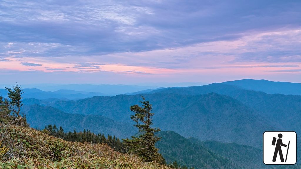
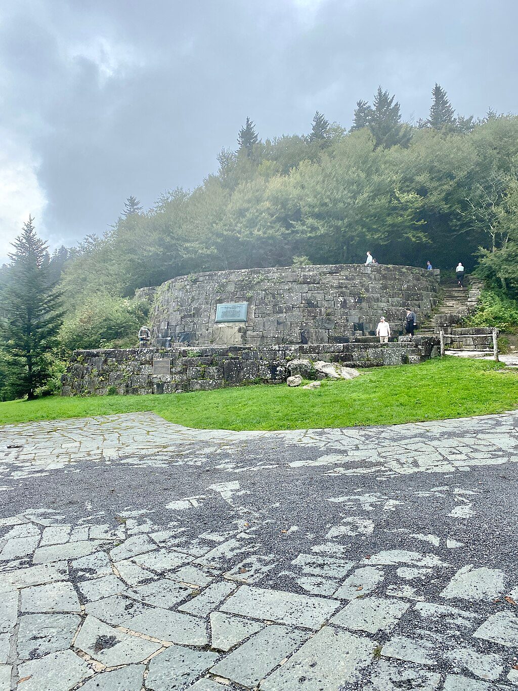
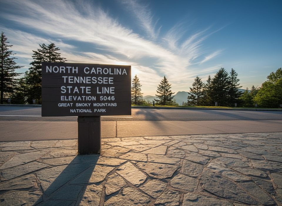
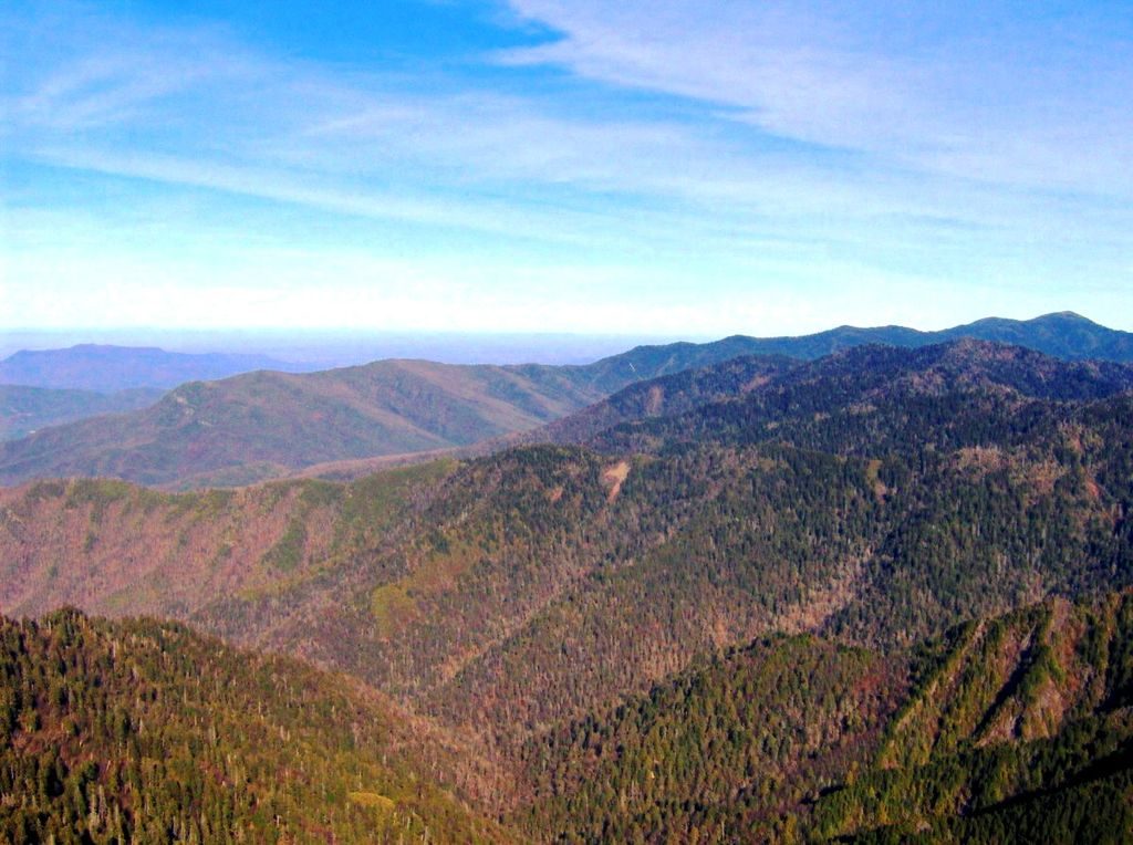
This is the Smokies’ crown-jewel traverse: roughly 72 miles of the Appalachian Trail along the Tennessee–North Carolina state line from Fontana Dam to Davenport Gap. Expect constant ups and downs on a high, forested crest with frequent big-view windows. The route tops out at Kuwohi (formerly Clingmans Dome) at 6,643 feet—the highest point on the entire AT—where an observation tower offers sweeping panoramas. Most hikers take 7–8 days; many split it in half using Newfound Gap in the middle.
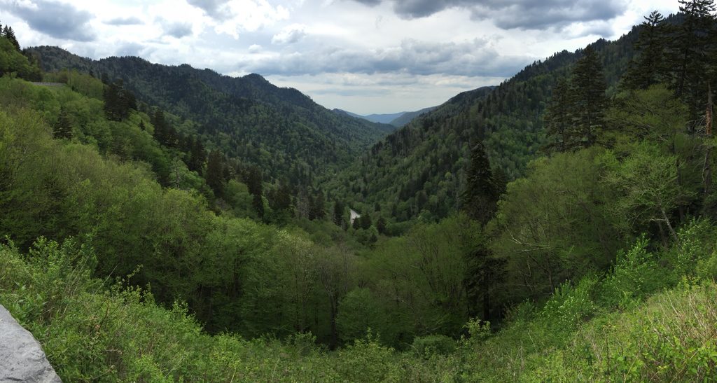
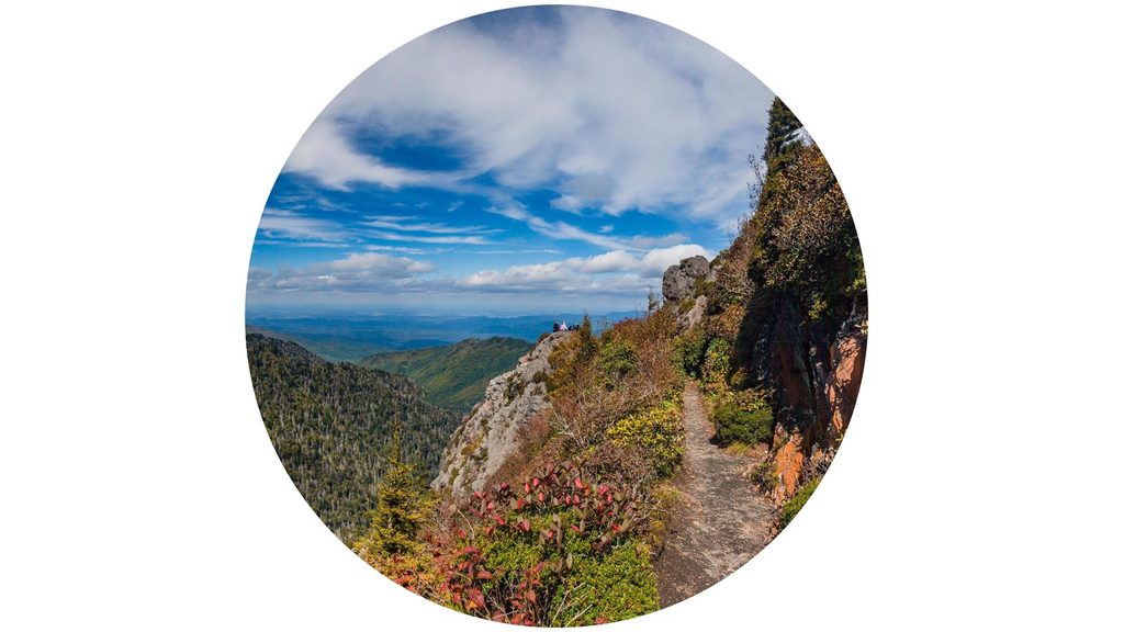
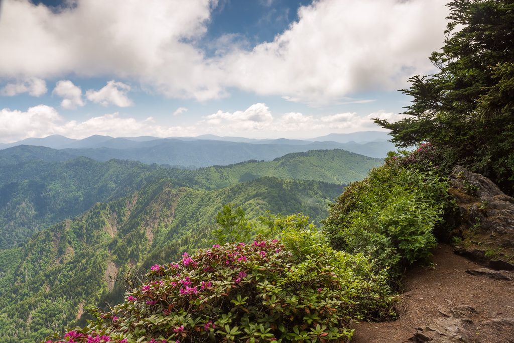
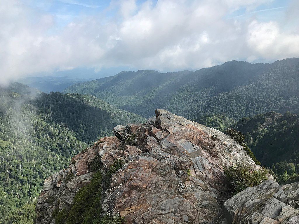
Travel is ridge‑heavy with that classic “Smoky Mountain roll”—steep ascents immediately giving back hard‑earned elevation. The AT crosses a road just once here at Newfound Gap, a natural midpoint with restrooms and an easy resupply pivot to nearby towns. Short spurs and knobs make the miles memorable: Shuckstack Fire Tower soon after Fontana, the open bump of Rocky Top near Spence Field, the airy outcrop of Charlies Bunion just past Icewater Spring Shelter, and the stone fire lookout atop Mount Cammerer near the east end. Views come in flashes between long stretches of spruce‑fir and mixed hardwood forest—keep an eye out for blooming rhododendron in season and moody cloud inversions any time of year.
Length note: this is a point‑to‑point traverse of about 72 total miles within the park; if you only bite off a chunk, Newfound Gap to either end is a classic multi‑day.
Overnight use is by the book here. You must carry an advance backcountry permit and stay only at designated sites and shelters along the AT corridor. The park maintains a string of shelters including Mollies Ridge, Russell Field, Spence Field, Derrick Knob, Silers Bald, Double Spring Gap, Mount Collins, Icewater Spring, Pecks Corner, Tricorner Knob, Cosby Knob, and Davenport Gap (plus nearby Birch Spring Gap campsite). Reservations are required; thru‑hikers who meet eligibility can use a specific AT permit, while section hikers use the general backcountry permit. Print and carry your permit. Icewater Spring Shelter sees the biggest crowds due to its proximity to Newfound Gap—plan your itinerary to avoid stacking there if you can.
Spring and fall offer the friendliest combo of temps and views. Summer brings humidity, afternoon storms, and crowds near Newfound Gap, but water tends to be more reliable at shelter springs. Winter on the crest is beautiful but harsh—ice, high winds, and sub‑freezing ridge temps make it a poor choice for inexperienced backpackers. For day‑to‑day timing, early starts beat both traffic at Newfound Gap and the afternoon thunder pattern; golden-hour light pairs well with Charlies Bunion and Mount Cammerer vistas.
Bottom line: If you want the Smokies distilled—rolling ridges, big knobs, deep forest, and a touch of civilized logistics at Newfound Gap—this is the park’s premier backpack.
Best to park at Newfound Gap (large paved lot) and use a shuttle. A park parking pass is required for stays over 15 minutes. Avoid long‑term parking at Fontana Dam and Davenport Gap due to past thefts; consider Big Creek Campground as a safer east‑end alternative.
Steep, relentless elevation changes; ridge weather is colder, wetter, and windier than valleys. Active black bear country—use bear cables and secure all food. Water is mostly at shelters; treat all sources. Permit and shelter reservations are mandatory. Vehicle theft has occurred at the endpoints—don’t leave cars there overnight.
Place · 0 mi away
Place · 0 mi away
Place · 0.1 mi away
Place · 0.4 mi away
Moderate · 0 mi away
Challenging · 0 mi away
Moderate · 0 mi away
Moderate · 0 mi away

Parkwolf Tour Guide
