
Place · 0.9 mi away

Roundtop Trail is a 7.5-mile point-to-point ridge walk that stays just inside the park’s northern boundary. It’s a moderate outing if you shuttle cars, but expect a stout start and a long, sometimes steep descent toward the Little River. The payoff is solitude, spring/summer wildflowers, and intermittent ridge views toward Cove Mountain and the Little River Gorge.
Start on Wear Cove Gap Road (just north of Metcalf Bottoms), climb roughly 800 feet over the first couple miles to the high ridge, then trend downhill 1,000–1,400 feet toward the Townsend Wye. If you do it out-and-back, you’re looking at about 14.7 miles and a big day.
There’s no bridge at the west end. To reach the Wye parking, you must ford the Little River. In normal flows this can be thigh- to waist-deep with slick footing; after heavy rain it can be unsafe or impassable. Bring water shoes, use trekking poles, unbuckle your pack, and be ready to turn around if levels look sketchy. In summer heat, a safe, low-water ford can feel like a well-earned cool-down.
Parking at Wear Cove Gap is tiny—think a couple of spots near the Little Greenbrier Trail sign. Many hikers stage at Metcalf Bottoms and shuttle. The Townsend Wye area has more parking, but it fills early on warm days. There are no restrooms at either end; the nearest are at Metcalf Bottoms picnic area. A park parking tag is required.
This is classic quiet-forest hiking with Table Mountain and pitch pines, mountain laurel, and a spring/summer wildflower show. You’ll skirt the south slope of Roundtop itself, with peeks into Wears Valley and down to the Little River. Closer to the river you’ll encounter sandstone outcrops and occasional rock-shelter formations.
March–November is prime. Spring brings flowers; late summer can mean blueberries on parts of the ridge. Avoid or be flexible after big rains—the ford dictates the day. For parking and lighter crowds, start early, especially on warm weekends. Morning light is nice on the ascent from Wear Cove Gap; late-day light favors views toward the river as you descend west.
Best done as a shuttle: park one car at the Wye and one near Wear Cove Gap (or at Metcalf Bottoms), then hike east-to-west so the river ford comes last. If water is high, skip the ford and do an out-and-back from the east side instead.
Place · 0.9 mi away
Place · 1.1 mi away
Place · 1.5 mi away
Place · 1.6 mi away
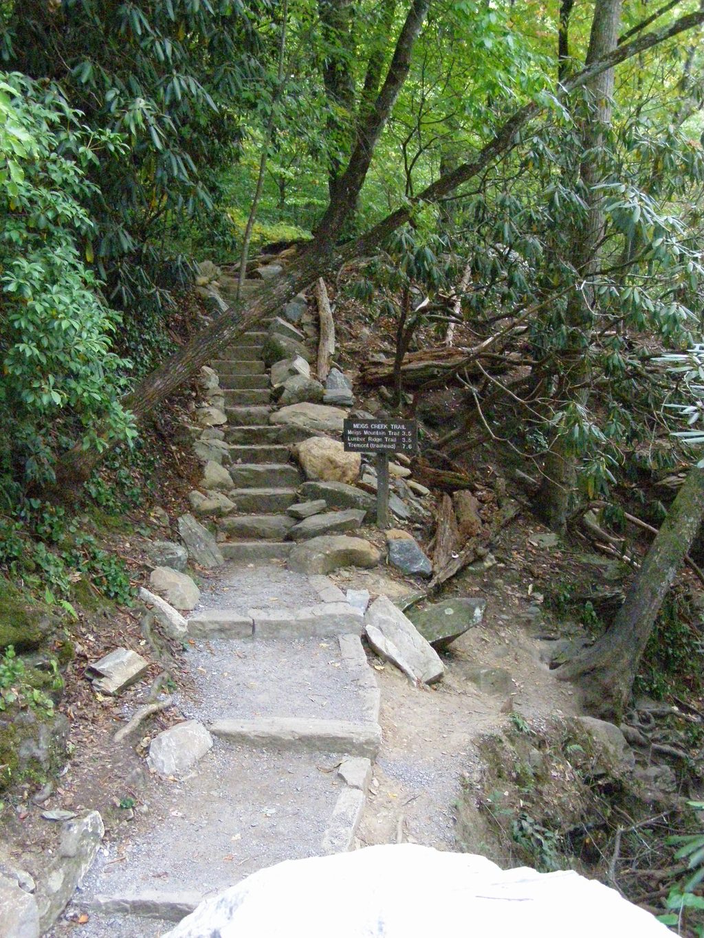
Moderate · 1.1 mi away
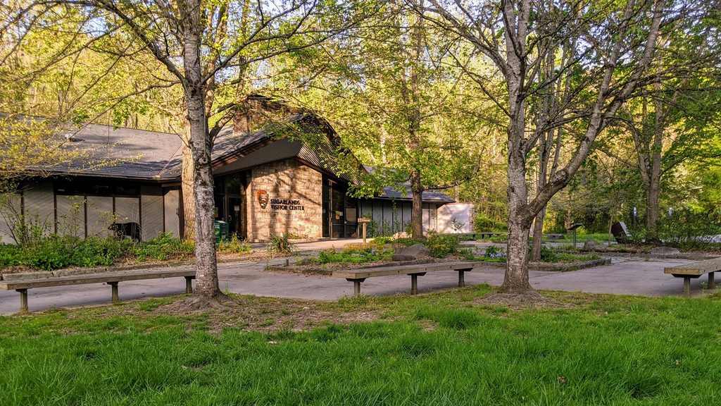
Easy · 1.6 mi away
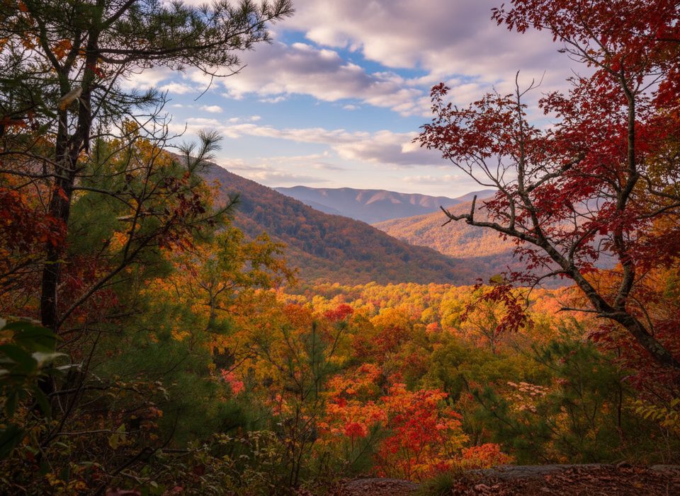
Moderate · 1.9 mi away
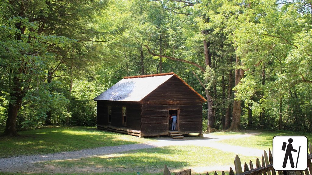
Easy · 2.1 mi away

Parkwolf Tour Guide
