Parking
Park at Metcalf Bottoms Picnic Area and cross the small bridge north to the trailhead. Restrooms are at the picnic area. A parking tag is required for stays longer than 15 minutes.
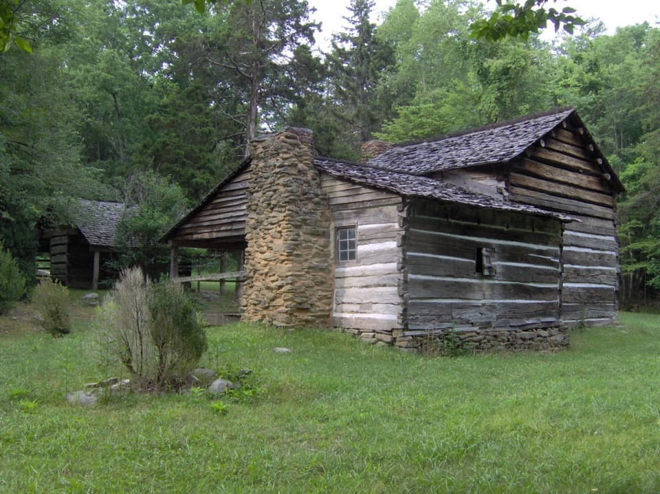
Great Smoky Mountains National Park, TN · NC
A forest walk to a schoolhouse and Walker Sisters homestead
Overview
Map & elevation
Plan your hike

The highest, rockiest slopes around here are a summer buffet for grizzly bears.
Great Smoky Mountains Tour Guide
Parkwolf is a GPS audio tour guide for Great Smoky Mountains National Park. As you drive, it chimes in with what’s ahead: hidden gems, upcoming stops, history, geology, and wildlife, right through your car’s speakers.
See the Great Smoky Mountains audio tourRecorded for this trailhead
Metcalf Bottoms Picnic Area“Metcalf Bottoms Picnic Area is coming up, a place to stop for lunch beside the Little River. Tables and charcoal grills sit near the water, but bring your own food; there's no concession.”
Plays as you drive up to this trailhead in the Parkwolf Great Smoky Mountains Tour Guide.
More stories near here in the app
“Fantastic app with many points of information… It’s great to just turn on while you’re driving and it gives you an audio tour of the national Park. We love it!!!!”


Trail guide
This is a 3.9-mile out-and-back from Metcalf Bottoms to Little Greenbrier School and the Walker Sisters homestead. Plan about 2½ hours if you stop to look around. The path starts as packed dirt through hardwood forest, then follows a wide gravel roadbed up to the Walker Cabin access spur. The full mapped route comes to about 3.9 miles round-trip; another published estimate is 3.4 miles. Starting at the schoolhouse is a separate shorter version of about 2.6 miles round-trip.
Park at Metcalf Bottoms Picnic Area and cross the small bridge north to the trailhead. Restrooms and picnic tables are at the picnic area, and a parking tag is required if you stay more than 15 minutes. Little Greenbrier Road to the schoolhouse closes seasonally, so use the Metcalf Bottoms approach when it is shut.
John Walker and his son helped build the log schoolhouse in 1881. It also served as a Primitive Baptist church until 1925. Classes were held during only two or three winter months because the family needed children’s help on the farm in warmer weather. The school makes a good first stop before continuing uphill into the cove.
The Walker family raised eleven children at the homestead. Six unmarried sisters received a lifetime lease to remain there after the national park was established; they kept working the farm and welcoming visitors. Their father’s log house used tulip poplar, packed with mud and rock. The sisters’ story is part of why this walk has more to it than a cabin at the end.
The preserved site includes the two-room cabin, with fireplaces and a front porch, plus the springhouse and corn crib. Frame the cabin with the smaller springhouse in view to show how the buildings sit together. Dogs are not allowed on this trail.
Wildlife
 1,569 sightingsBlack BearMost seen around 7 PMSighting map
 900 sightingsElkMost seen around 7 AMSighting map
 13 sightingsBald EagleMost seen around 9 AMSighting map
 142 sightingsTimber RattlesnakeMost seen around 6 PMSighting map
 26 sightingsBobcatMost seen around 8 PMSighting map
 42 sightingsRiver OtterMost seen around 7 AMSighting map
Sighting maps show where each species has been reported across Great Smoky Mountains. Wildlife moves, so no sighting is guaranteed.
Keep exploring
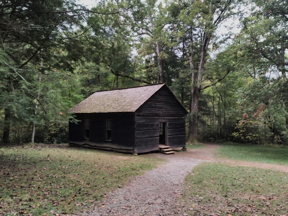 EasyMetcalf Bottoms Trail1.4 mi · 45 min · At the trailheadA short forest walk to a one-room Smokies schoolhouse.
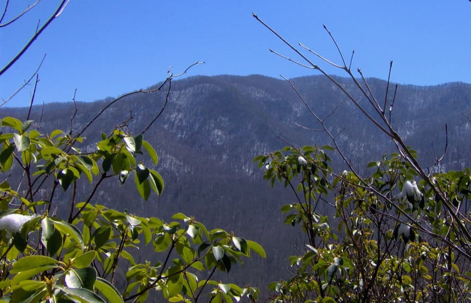 ModerateCurry Mountain Trail6.7 mi · 4 hr · 0.3 mi awayQuiet forest miles lead to brief mountain views and a cemetery spur.
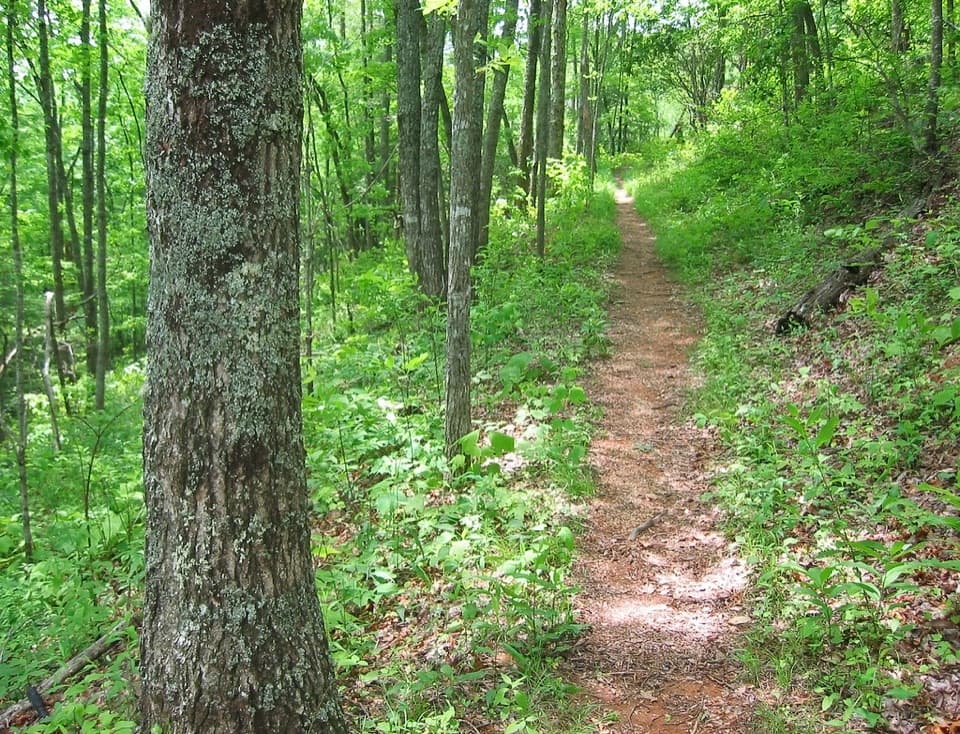 ModerateRoundtop Trail7.4 mi · 4 hr · 0.9 mi awayA 7.4-mile one-way ridge hike ending at a Little River ford.
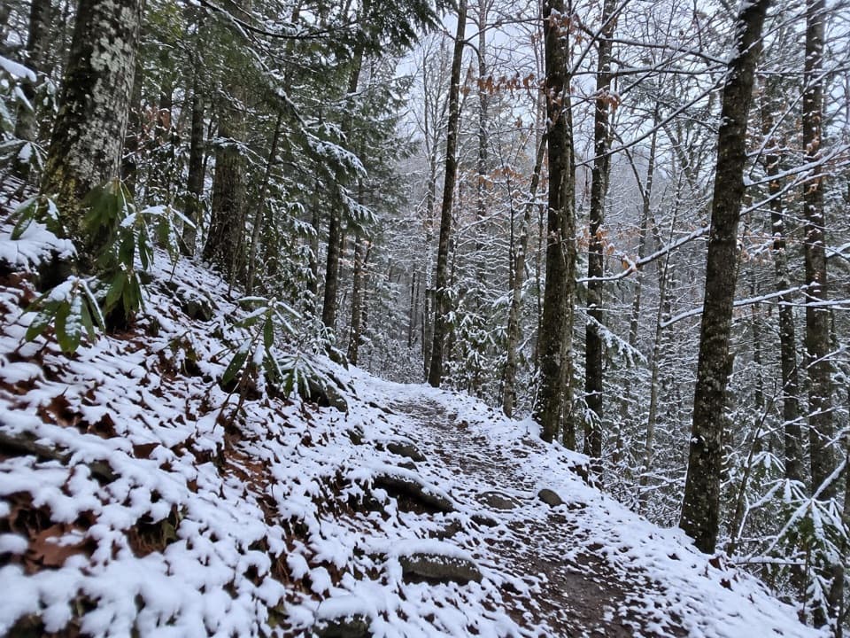 ModerateLittle Greenbrier Trail4.3 mi · 3.5 hr · 1 mi awayEasy woodland miles, then a steep climb to the Laurel Falls Trail.
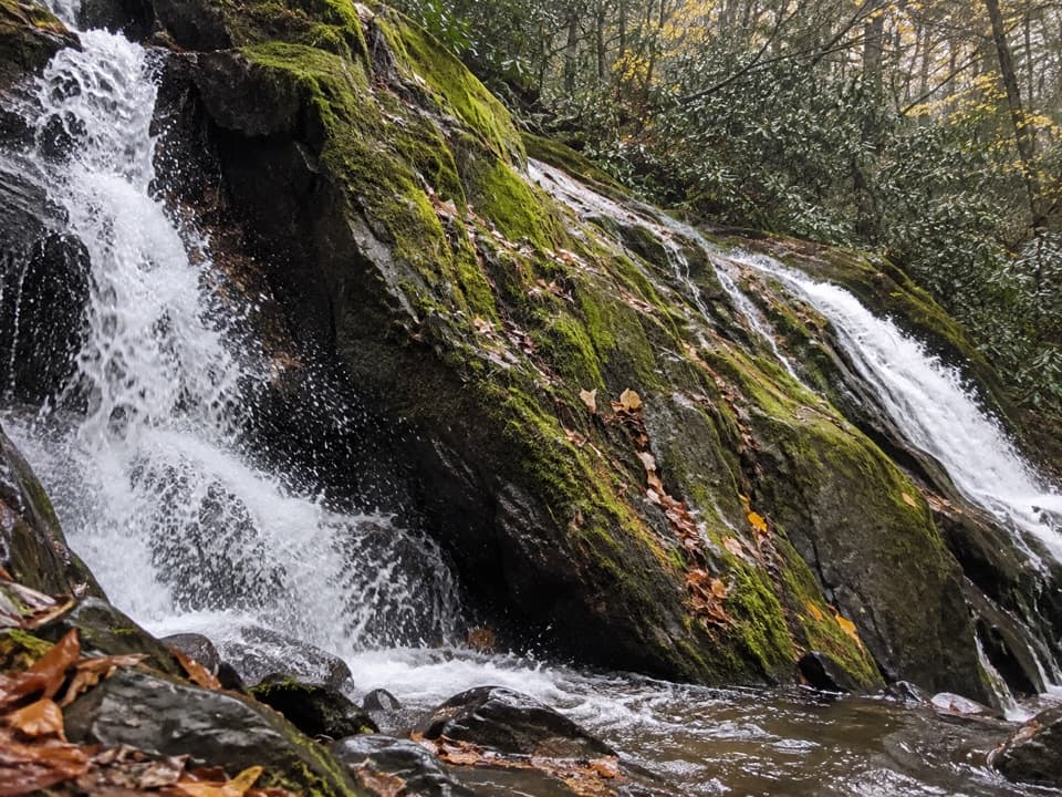 ModerateMeigs Creek Trail3.5 mi · 2 hr · 1.1 mi awayCreek crossings build to a waterfall, then the trail keeps going.
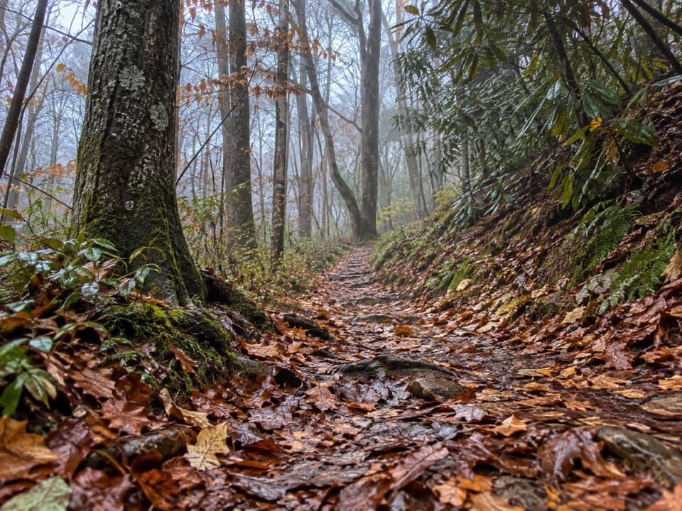 EasyLaurel Falls Quiet Walkway0.4 mi · 18 min · 3.2 mi awayA short dirt loop follows Laurel Branch through quiet forest
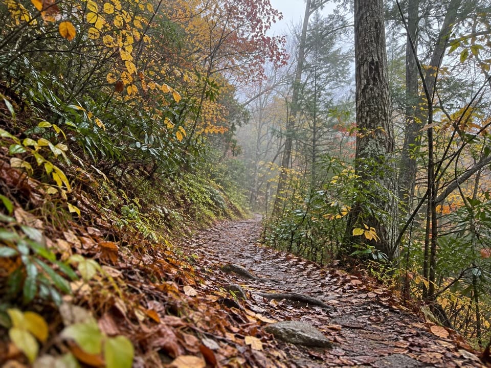 ModerateLumber Ridge Trail8.3 mi · 5 hr · 3.5 mi awayA steady forest climb to a backcountry junction and back.
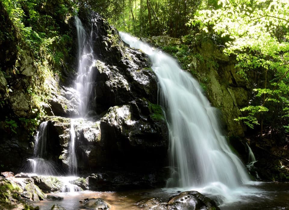 ModerateSpruce Flats Falls Trail1.8 mi · 2 hr · 3.5 mi awayA short Smokies waterfall hike with a steep, rocky finish
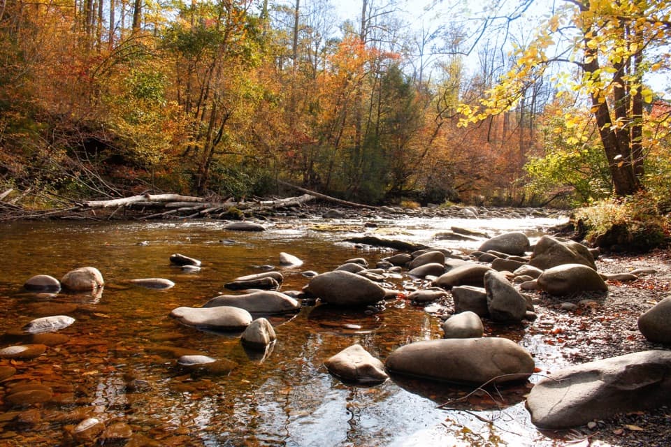 Picnic area · 0.1 mi awayMetcalf Bottoms Picnic AreaA riverside lunch pairs with a 3.4-mile schoolhouse walk.Sight · 0.5 mi awayLittle Greenbrier SchoolhouseA little log school with a big role in Smokies life.
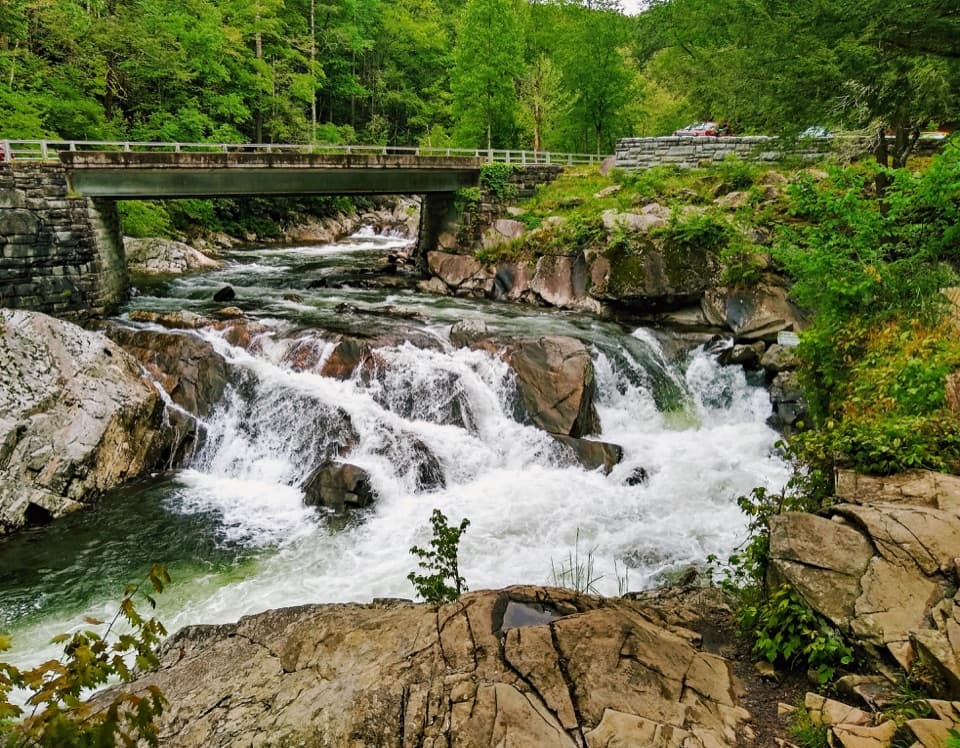 Sight · 1.1 mi awayThe SinksA logging blast opened the bend behind this rushing cascade.Sight · 1.4 mi awayWalker Sisters PlaceA family farm where five Walker sisters kept their home.
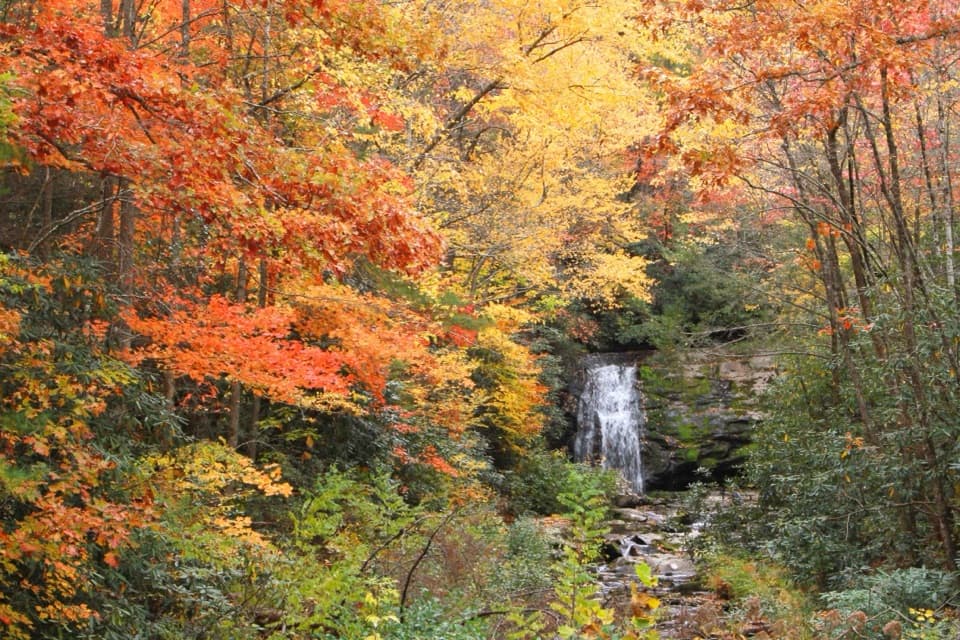 Sight · 1.8 mi awayMeigs FallsA roadside waterfall view without adding a hike.
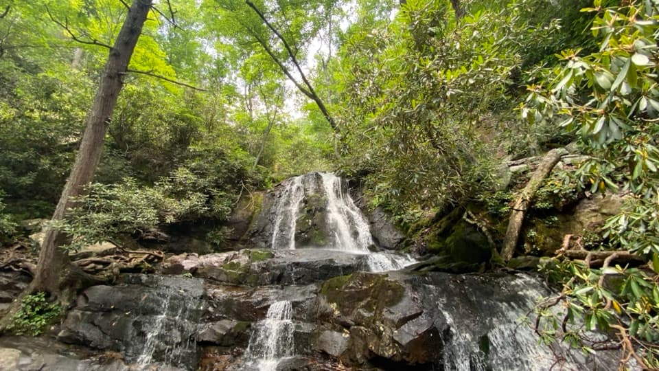 Sight · 3 mi awayLaurel FallsA two-tier waterfall rewards a popular 2.6-mile forest walk.
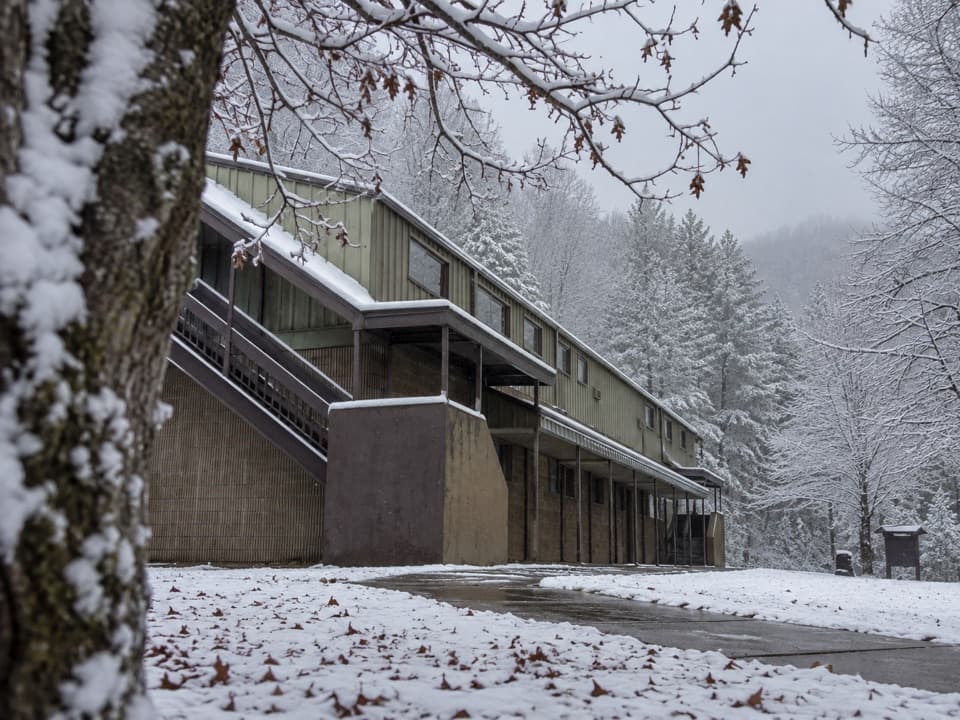 Visitor center · 3.5 mi awayTremont Visitor CenterA practical hike-planning stop with Smokies books and field guides.
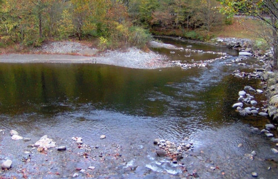 Sight · 3.7 mi awayTownsend WyeRocky Little River access just beyond Townsend's park entrance.
Parkwolf’s Great Smoky Mountains ranking

The audio tour guide for the drive, plus offline maps, trails, and wildlife heatmaps for when the signal drops.





