Moderate

Meigs Creek Trail

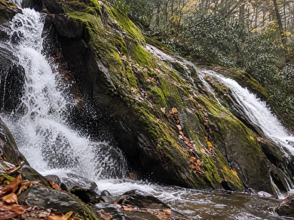
Creek-hopping to a quiet cascade from The Sinks.
Meigs Creek Trail, Great Smoky Mountains National Park
Distance7 mi
Typical time3.5 hr
DifficultyModerate
PetsNot allowed

Overview

Meigs Creek Trail delivers an old‑school Smokies adventure: countless creek fords, a mid‑hike waterfall, and a peaceful finish at Buckhorn Gap. It’s about 7.0 miles total out and back (3.5 miles one way) with roughly 1,100–1,300 feet of cumulative gain. Expect a steady, mostly moderate climb with a few short steeper pitches.

Route and highlights

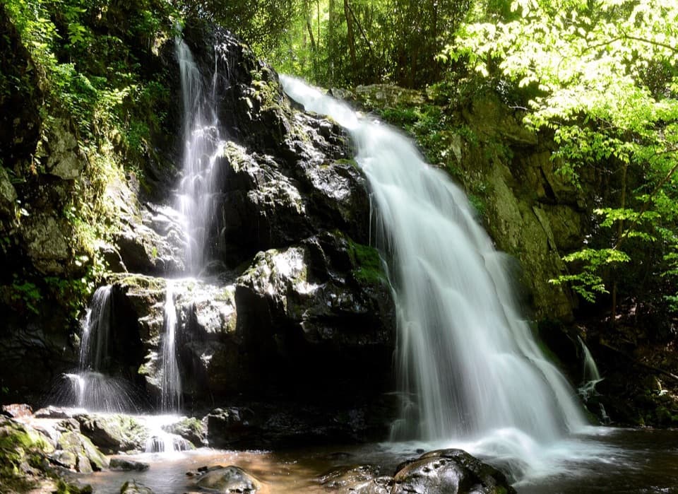
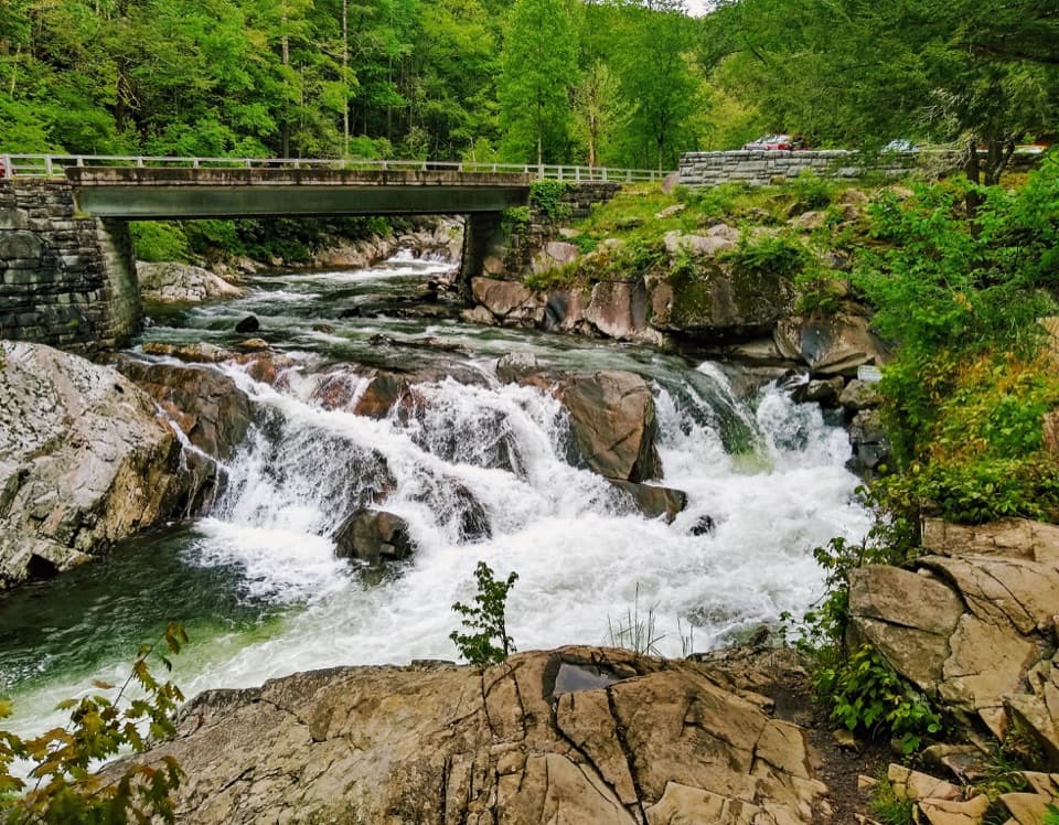
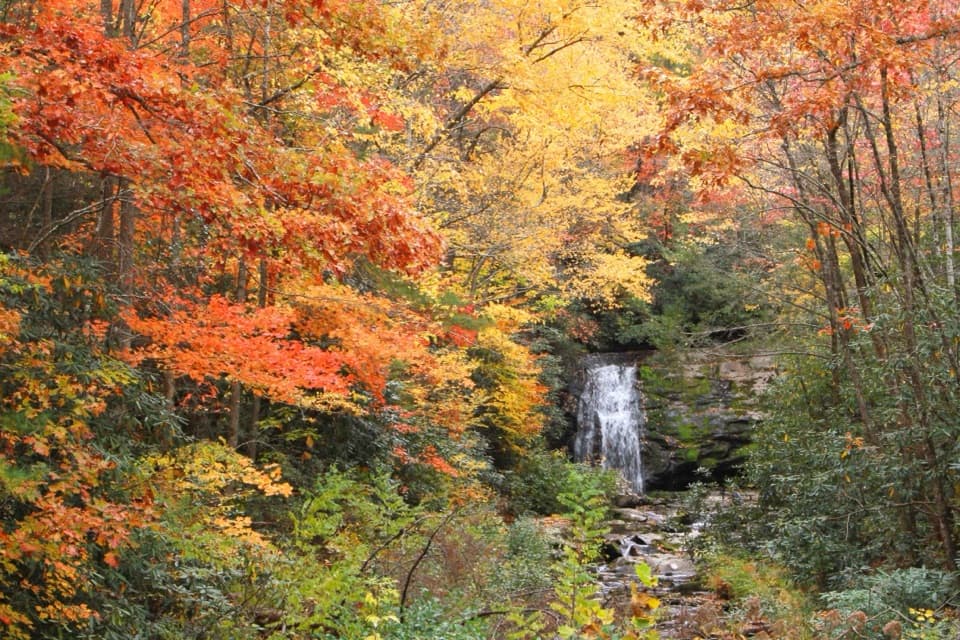
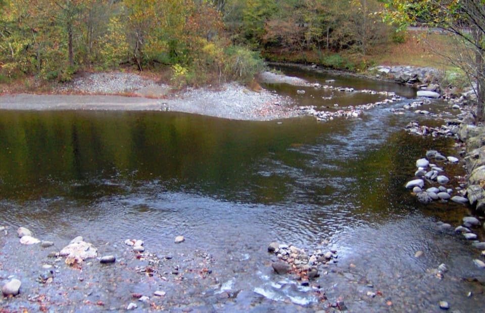
Start at The Sinks on Little River Road and climb stone steps away from the crowds. The trail quickly feels wild and quiet, then settles into a rhythm of stream crossings—roughly 18–20 unbridged fords of Meigs Creek and its feeders. Footing can be narrow, rooty, and slick. About 1.7 miles in, the 18‑foot Meigs Creek Cascades (also called Upper Meigs Falls) makes a perfect snack stop and a great turnaround if you want a shorter day. Continue to Buckhorn Gap at mile 3.5, where the path meets Meigs Mountain Trail and Lumber Ridge Trail. From here, you can extend your day with a car shuttle via Lumber Ridge toward Tremont, or follow Meigs Mountain; Backcountry Campsite 19 lies about 1.5 miles east along Meigs Mountain from the gap (permit required).

Scenery and nature

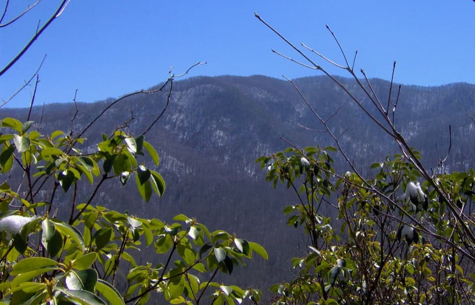
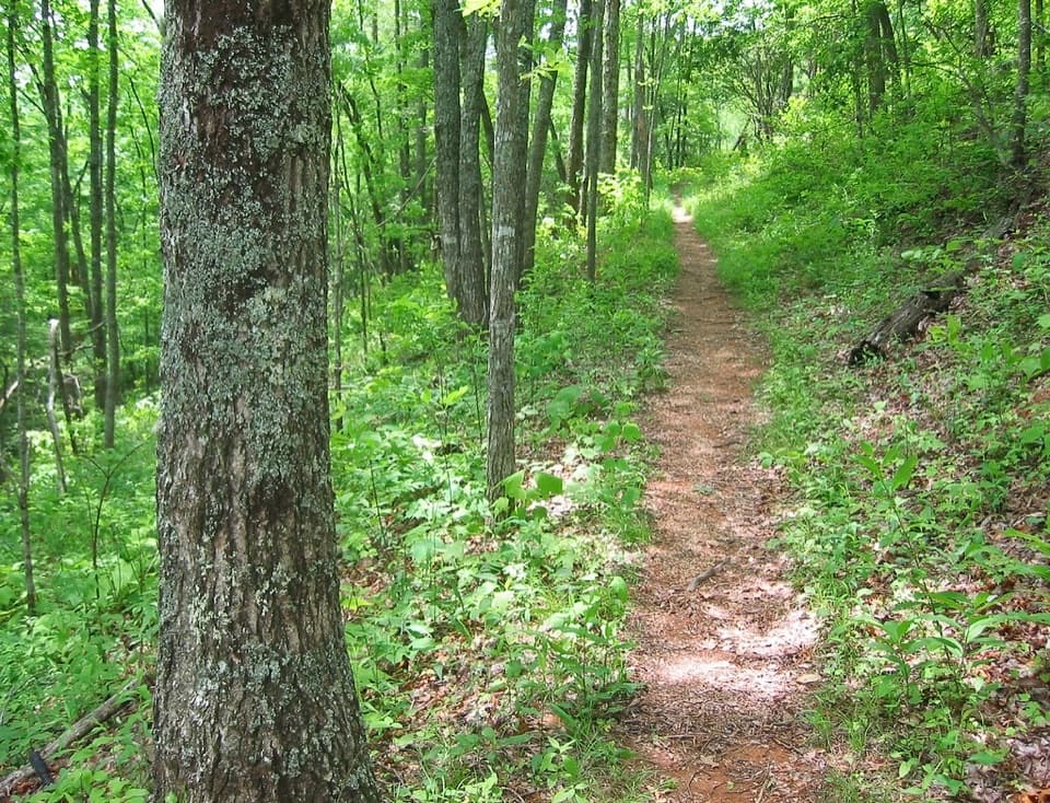
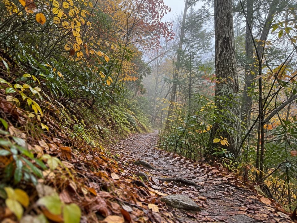
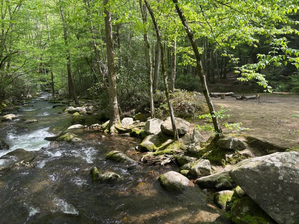
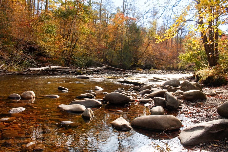
This is a lush, creekside forest walk, stitched together by small falls, cascades, and handsome stonework. Look for partridge berry and various ferns along the tread, and mountain laurel blooming near the upper sections in late spring. With leaves down, you’ll catch better ridge views. You’re in active wildlife habitat—black bears and coyotes are present—so stay alert and store food properly.

Best time to hike

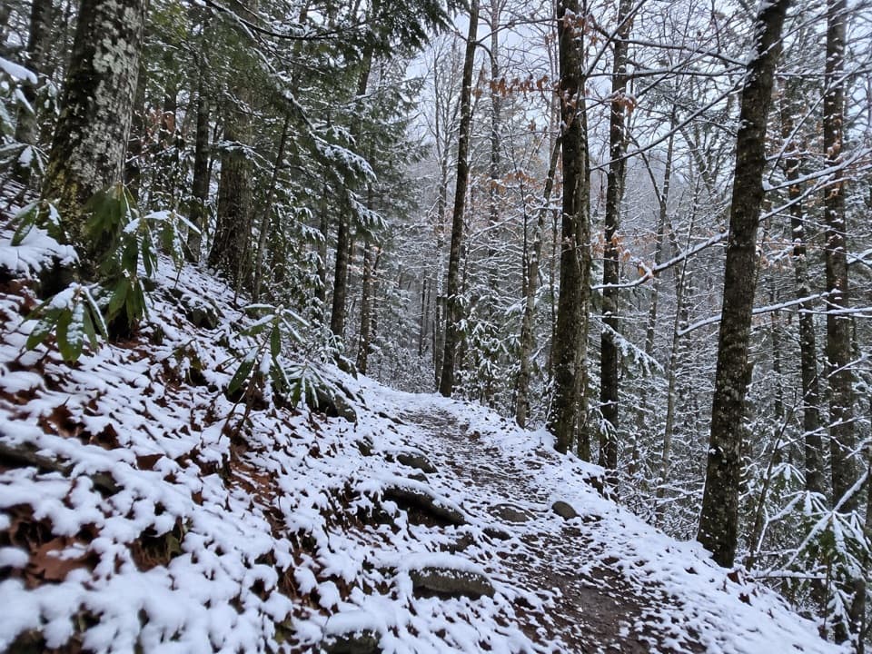
Late summer and fall are the sweet spot when water levels are typically lower and crossings are more playful than punishing. After heavy rain or snowmelt, the creeks rise fast—turn around if any ford looks questionable. In cold seasons, repeated wet crossings can be numbing and hazardous. Plan 3–4 hours for the round trip, adjusting for water levels and pace.

Logistics and tips

Parking at The Sinks is limited (about 21 paved spaces), so arrive early—especially weekends. The overlook area can be packed, but the trail itself is usually quiet once you’re a half mile in. Wear footwear you don’t mind soaking and consider trekking poles for slick rock hops. There’s a popular wading spot near the trailhead—use caution around swift water and cliffs. No dogs are allowed on this trail; service animals only. No permit is needed for day hiking; backcountry camping requires a reservation.

Pros

  • Playful, frequent creek fords that turn the hike into an adventure
  • A scenic 18‑foot cascade right about halfway for a built‑in reward
  • Surprisingly quiet once you leave the busy Sinks overlook

Cons

  • Unbridged crossings can become hazardous or impassable after heavy rain
  • Limited parking at The Sinks; spaces fill early

Parking

Park at The Sinks on Little River Road; small renovated lot with about 21 paved spaces. Arrive early, especially on weekends.

Caution

Expect roughly 18–20 unbridged creek crossings with slick rocks and variable depth. Water rises quickly after rain; turn back if a ford looks unsafe. In cold weather, repeated wet crossings can be hazardous. Use caution around swift water and cliffs near The Sinks.

The Parkwolf tour guide sitting on a phone mounted in a car

Parkwolf Tour Guide

Like a tour guide in your car.

Bring Great Smoky Mountains trail research into the car, with offline maps and stories that play as you drive.Download Parkwolf on the App Store