Pros & cons
PROS
- Dramatic roadside cascade carved into a deep chasm
- Quick, rewarding viewpoints plus a trailhead for Meigs Creek
CONS
- Very limited parking that fills quickly
- No restrooms or services on site
- Hazardous water; no swimming or jumping
Overview
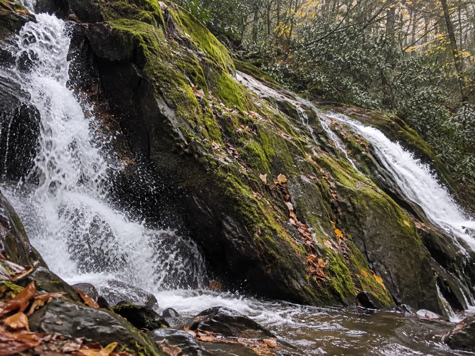
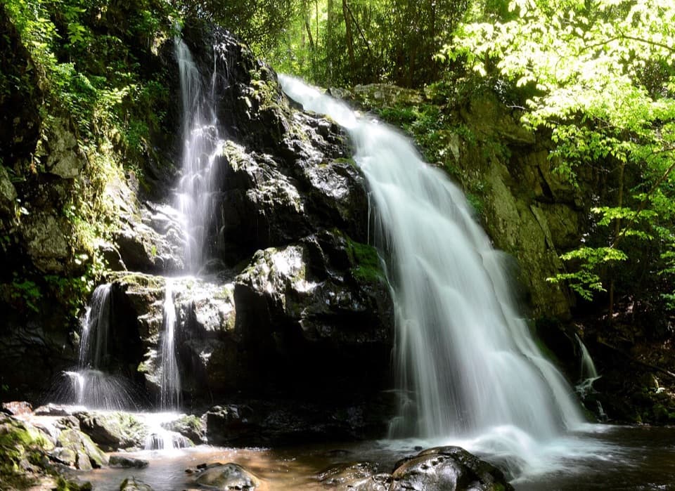
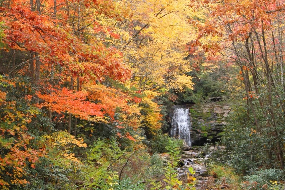
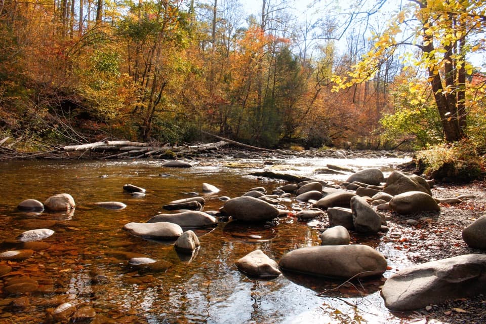
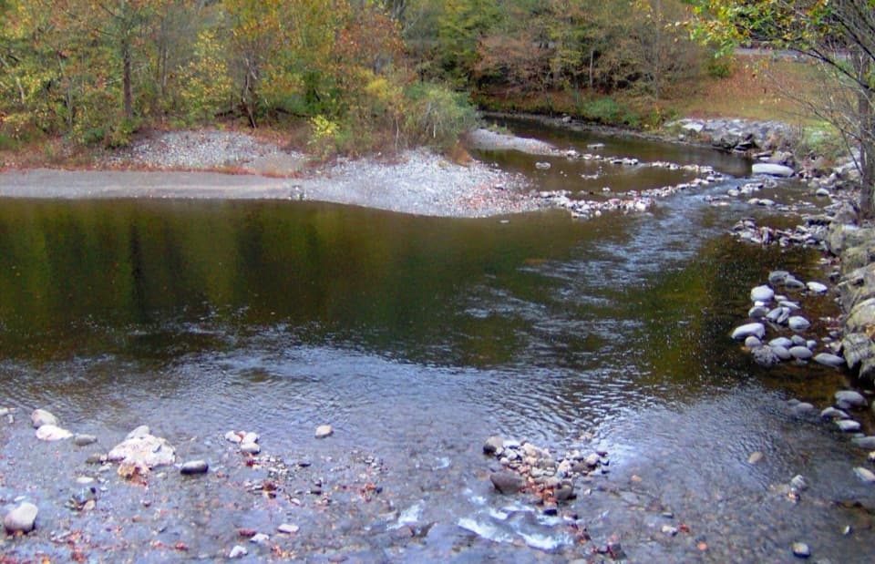
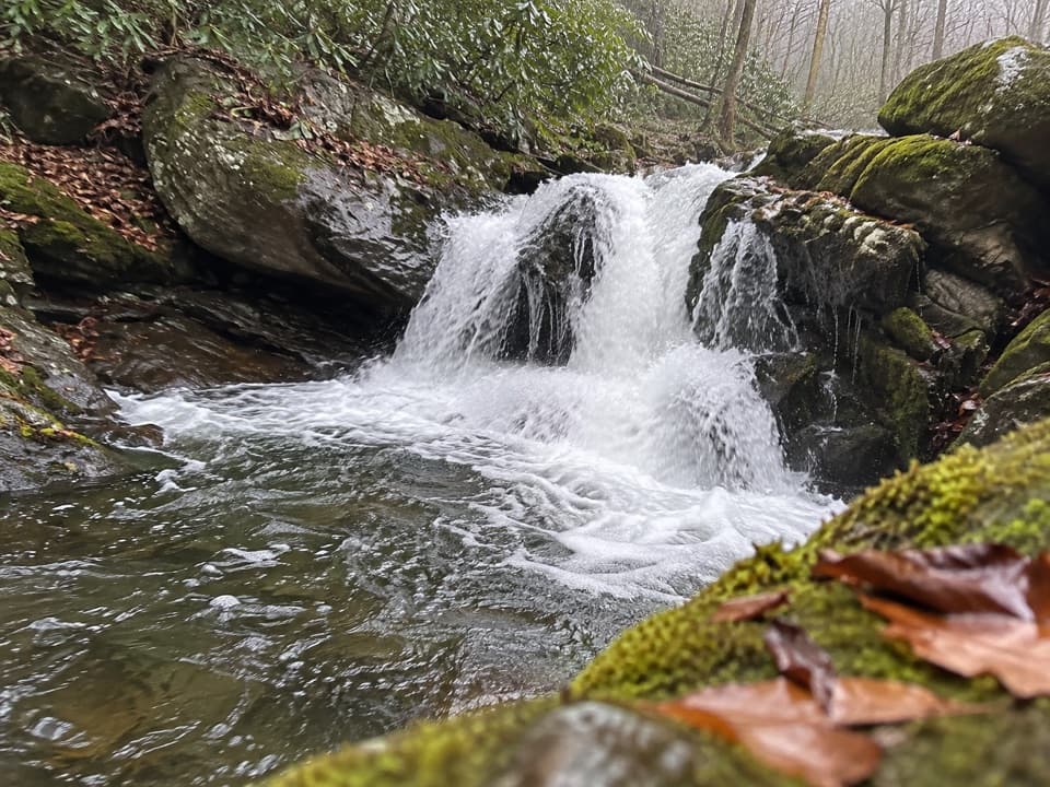
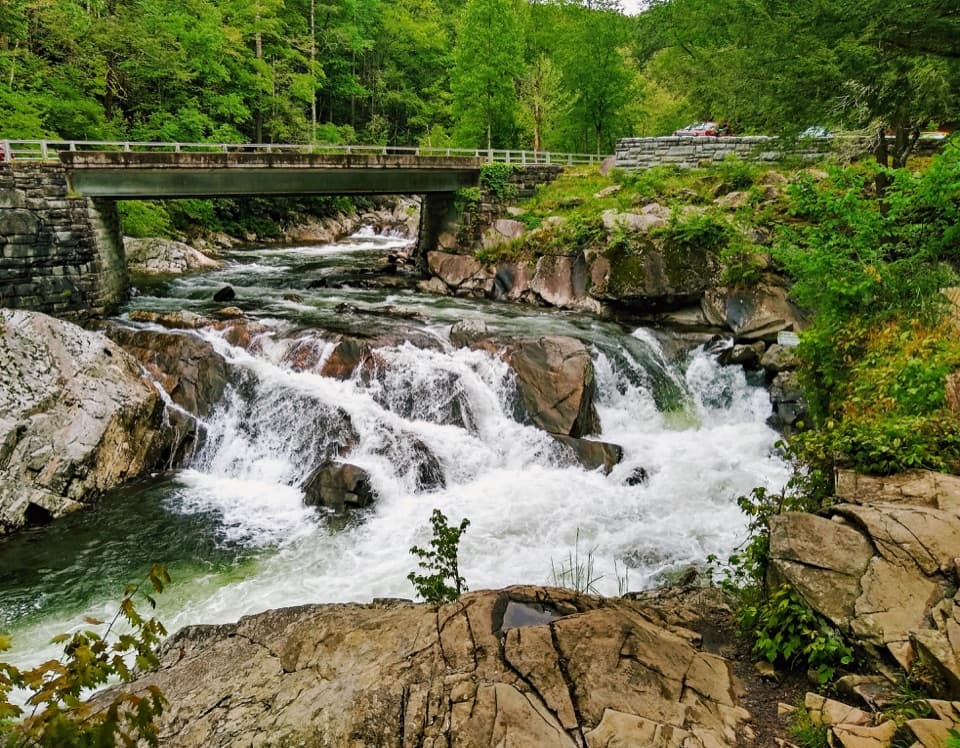
The Sinks is a roaring cascade on the Little River, famous for the way the water funnels into a deep, churning pool before exploding through boulders. It’s a quick stop with big payoff: pull off Little River Road, step to the stone wall, and you’re staring at whitewater drama.
Geology & History
This isn’t a classic waterfall—it’s a man-altered river feature. In the late 1800s, loggers dynamited a massive logjam in a tight horseshoe bend, blasting a deep chasm and rerouting the river. The result is the powerful “sink” you see today, set in rocks that belong to one of the oldest mountain ranges on Earth.
What You’ll Do
- Take in the main view right from the stone-wall overlook beside the lot.
- Walk a short, slightly rough path to a higher vantage for wider photos.
- Cast a line: the Little River here is a popular spot for fishing (follow regulations).
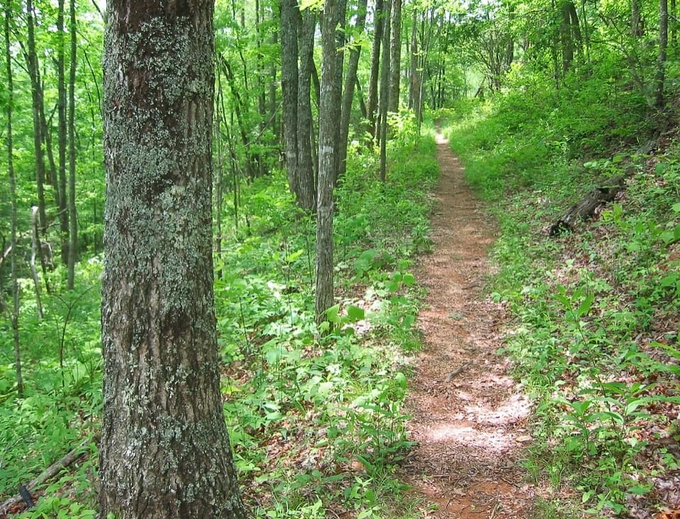
- Hike from the on-site trailhead: the 6.8-mile Meigs Creek Trail (moderate) follows Little River then heads up Meigs Creek; Meigs Creek Cascade is about 1.7 miles in.
Safety First (Really)
Don’t swim or cliff-jump here. The hydraulics, undercut rocks, and swift current are deceptively dangerous, with a history of rescues and fatalities. Stay off slick rocks and keep kids close—after rain, the flow gets even more volatile.
Logistics
- Location: On Little River Road between Sugarlands and Townsend (roughly 12 miles west of Sugarlands, ~10 miles from Townsend). Expect congestion and slow drive times in peak seasons.
- Parking: Tiny lot right at the overlook; not suitable for RVs/trailers and often full by late morning.
- Services: None on site—no restrooms, no potable water, no picnic tables. Bring what you need and pack out trash.
- Parking tags: Plan ahead and have your tag before stopping.
Best Times to Visit
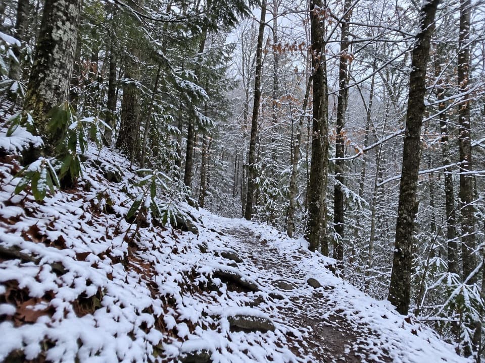
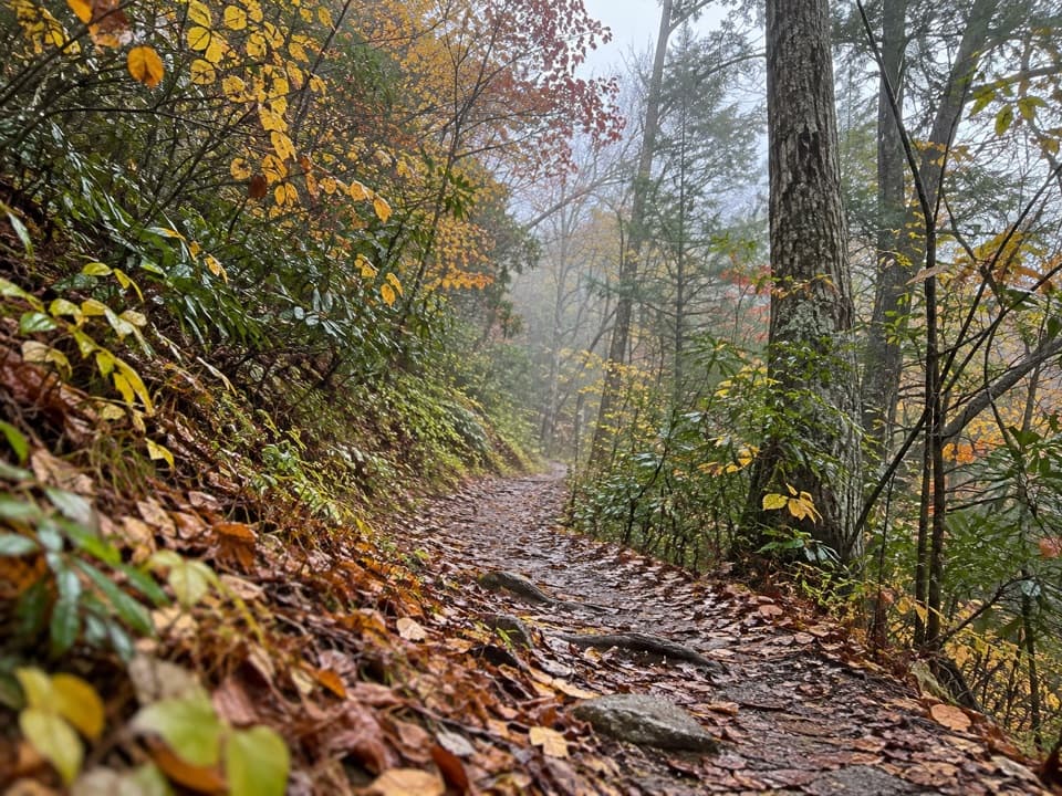
Year-round works. Spring (April–May) brings strong flows, October adds vibrant foliage, and deep cold snaps in January can rim the cascades with ice for moody shots. For the best experience, arrive early or late in the day for easier parking and softer light.
Wildlife
Like most river corridors here, you may see black bears, white-tailed deer, and plenty of birdlife. The river holds fish and other aquatic life—observe, don’t disturb, and keep a respectful distance from any wildlife you encounter.
If You Want Facilities or a Gentler Splash
For bathrooms and picnic tables, use designated picnic areas (Metcalf Bottoms and Greenbrier are solid choices). For calmer wading than The Sinks, the Greenbrier section offers shallower, gentler water conditions when flows are reasonable.
Where it is
35.6695, -83.6622Tips for The Sinks
- 01Arrive early or near sunset for easier parking and flattering light.
- 02Bring water and snacks; there are no services at this pullout.
- 03Have your parking tag sorted before pulling in on Little River Road.
- 04Do not swim or jump—the currents and undercut rocks are deadly.
- 05For restrooms and picnic tables, stop at Metcalf Bottoms or Greenbrier.
Amenities
Near The Sinks
All places →All trails →
0 mi awayMeigs Creek TrailCreek-hopping to a quiet cascade from The Sinks.Moderate · 7 mi · 3.5 hr
0.7 mi awayMeigs FallsRoadside waterfall with a distant but rewarding view from a pull-offPullout · Parking
1 mi awayMetcalf Bottoms Picnic AreaShady riverside picnic hub with grills, restrooms, and a short hikeRestroom · Parking
1.1 mi awayMetcalf Bottoms TrailShady, kid friendly stroll to an 1882 log schoolhouse and cemeteryEasy · 1.5 mi · 1 hr
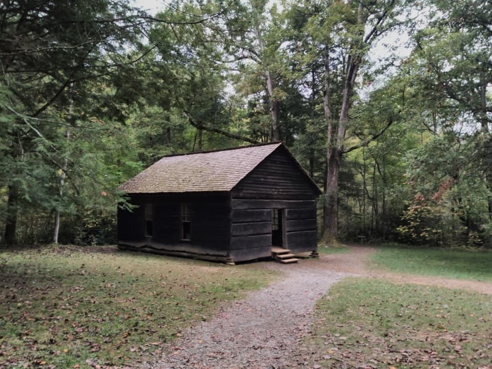
1.1 mi awayLittle Greenbrier SchoolHand-built 1880s schoolhouse with church roots, a short creekside walkParking
1.1 mi awayRound TopQuiet ridge hike ending with a serious Little River fordTrailhead · Parking
1.6 mi awayLittle Brier Gap TrailEasy creekside stroll to the Walker Sisters’ historic homestead.Easy · 2.6 mi · 1.3 hr
1.9 mi awayLittle Greenbrier TrailQuiet ridge climb with history detours and a Laurel Falls connectionModerate · 8.6 mi · 0 min