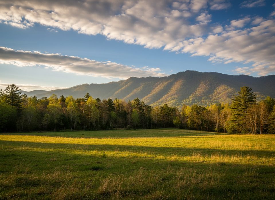
Scott Mountain

Quiet ridge linking Cades Cove, Schoolhouse Gap, and Whiteoak Sink
Scott Mountain, Great Smoky Mountains National Park
InsideGreat Smoky Mountains National Park

Overview

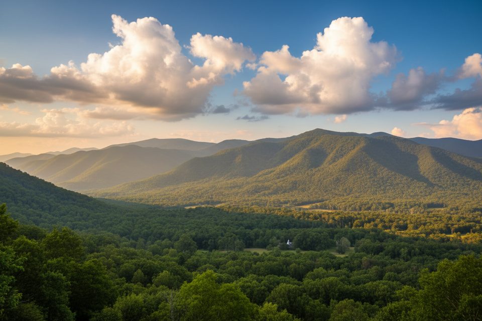
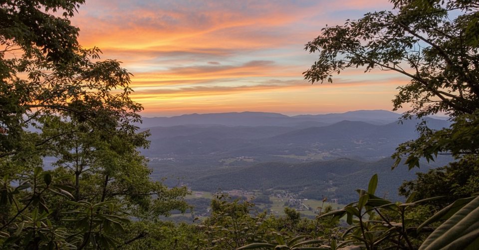
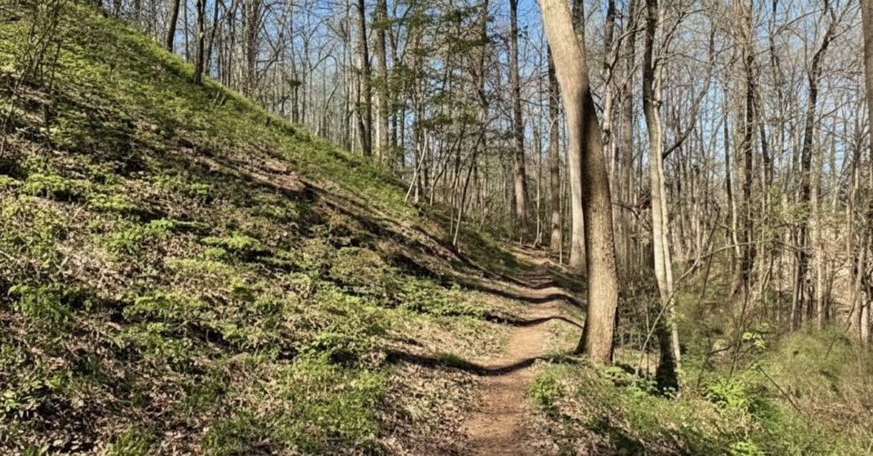
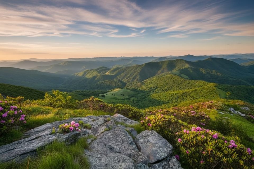
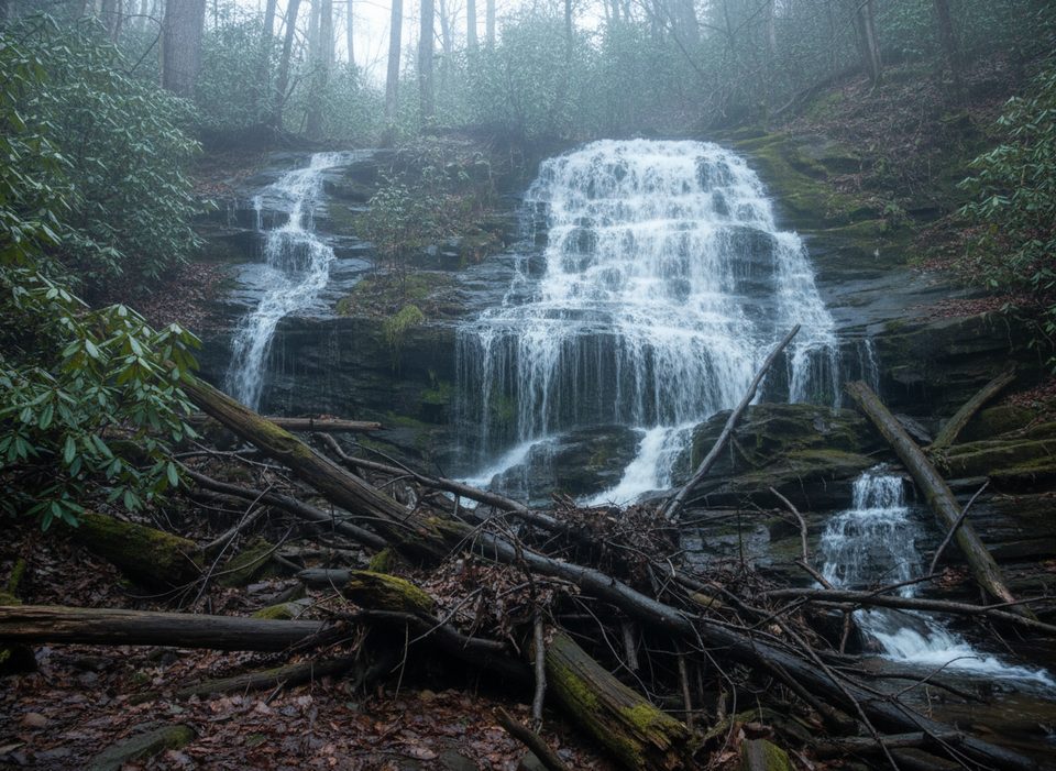
Scott Mountain is a low-key gem for hikers who like their Smokies on the quiet side. The ridge connects the Cades Cove side of the park to the Schoolhouse Gap corridor, threading through rhododendron thickets, ferny hollows, and stretches of soft, mossy trail. It’s a less-trafficked alternative near some of the park’s busiest areas, with a rewarding mix of forest walking and occasional mountain views.

Route Options

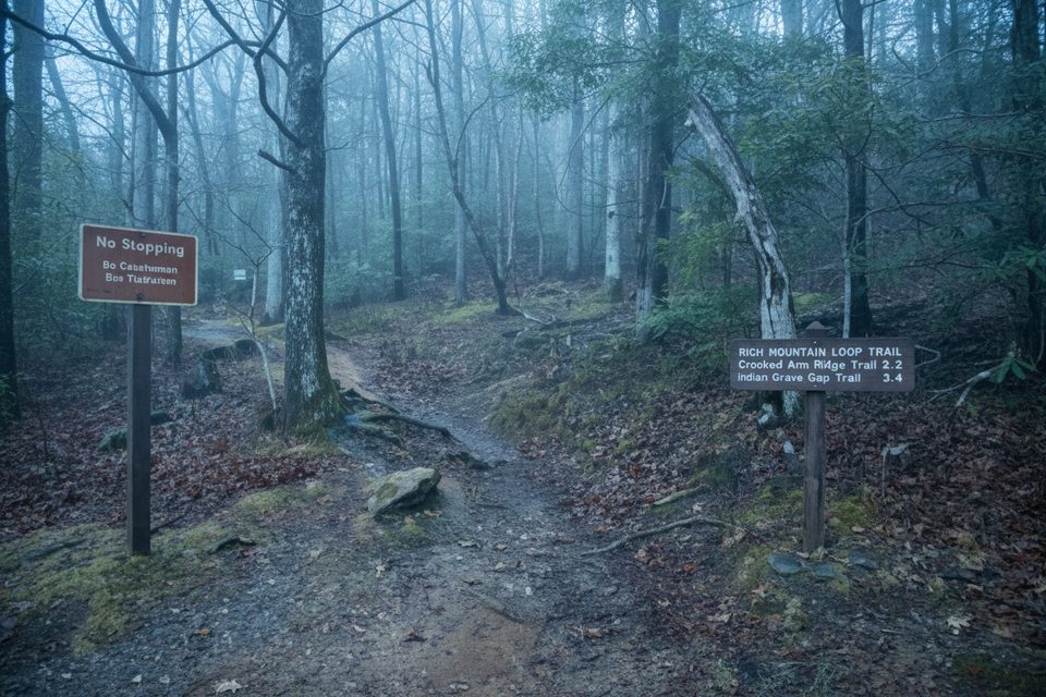
  • From Cades Cove: Climb via Crooked Arm Ridge, then turn onto Scott Mountain for a serene traverse toward the interior. Facilities are available in the developed Cades Cove area before you start.
  • From Laurel Creek Road: Start up Schoolhouse Gap Trail and connect to Scott Mountain. Expect a stout climb from this side and limited roadside parking at Schoolhouse Gap.
  • Distance: Guides put the Scott Mountain segment around 3.5–3.9 miles one way to the Schoolhouse Gap junction, with additional mileage depending on your chosen approach.

Highlights Along the Way

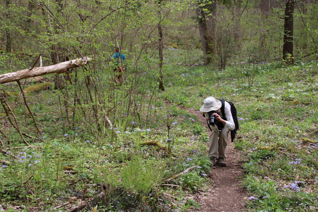
  • Whiteoak Sink: The route passes near Whiteoak Sink, known for spring wildflowers and a “blowhole” cave. Caves here are closed to protect bats from White-nose Syndrome—observe closures and stay on trail.
  • Backcountry camping: Campsite #6 sits along the route, with a small spring nearby. Always treat water from natural sources.

Current Conditions and Closures

Scott Mountain has had a closure between Backcountry Campsite #6 and the Schoolhouse Gap junction due to storm damage. It’s also affected when Laurel Creek Road (Townsend Wye to Cades Cove) is closed. Check same-day park updates before you go.

Wildlife and Safety

This corridor supports black bears, deer, foxes, and sensitive bat habitat near Whiteoak Sink. Secure food, give wildlife plenty of space, and never enter closed caves. After rains, expect rock-hopping at small creeks and slick, eroded patches.

Geology Snapshot

You’ll be walking country shaped by ancient sediments that were later crumpled and metamorphosed during Appalachian mountain-building. Nearby Cades Cove features limestone with marine fossils, while Scott Mountain’s ridges and sinks reflect the park’s classic mix of phyllite, quartz, and carbonate rocks.

Best Time to Visit

  • Spring: Peak wildflowers and lush greenery in Whiteoak Sink and along the ridge.
  • Weekdays and early starts: Best for avoiding Cades Cove congestion and nabbing limited trailhead parking.
  • After dry spells: Stream crossings and eroded slopes are easier when the trail isn’t saturated.

Planning Tips

  • No restrooms at the Scott Mountain junctions; use facilities in Cades Cove before you start.
  • A parking tag is required for vehicles parked more than 15 minutes anywhere in the park.
  • Expect fewer crowds here than on marquee trails, but always have a backup plan during peak season or roadwork.

Pros

  • Quiet ridge route with wildflowers, rhododendron tunnels, and mossy sections
  • Connects Cades Cove and Schoolhouse Gap with access to Whiteoak Sink

Cons

  • Intermittent closure between Campsite #6 and Schoolhouse Gap due to storm damage
  • Eroded sections and seasonal stream crossings can make footing tricky

Tips

  • Start from Cades Cove if you want facilities before the climb.
  • Verify same-day trail and road status; Scott Mountain has had partial closures.
  • Treat all natural water and expect a short rock-hop after rains.
  • Do not enter any caves near Whiteoak Sink; closures protect bat colonies.
  • Purchase and display a valid parking tag if you’ll be parked over 15 minutes.
The Parkwolf tour guide sitting on a phone mounted in a car

Parkwolf Tour Guide

Like a tour guide in your car.

Save the places you found around Great Smoky Mountains, then let Parkwolf guide the drive between them.Download Parkwolf on the App Store