Rich Mountain Loop Trail in Great Smoky Mountains National Park

Great Smoky Mountains National Park, TN · NC

Rich Mountain Loop Trail

An 8.5-mile loop with a cove view and a waterfall finish

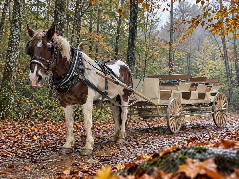
Photo: Wikimedia Commons
Length
8.5mi
Time
5hr
Elev. change
1,739ft
Difficulty
Moderate
  • Loop
  • No dogs
  • High point 3,638 ft
  • #43 of 197 in Great Smoky Mountains

Hear the audio tour

Rich Mountain Loop Trailhead

Overview

About Rich Mountain Loop Trail

Why go

  • A full circuit links a historic cabin, ridge views and a cascade.
  • The route feels like a mountain hike without being a full-day outing.

Heads up

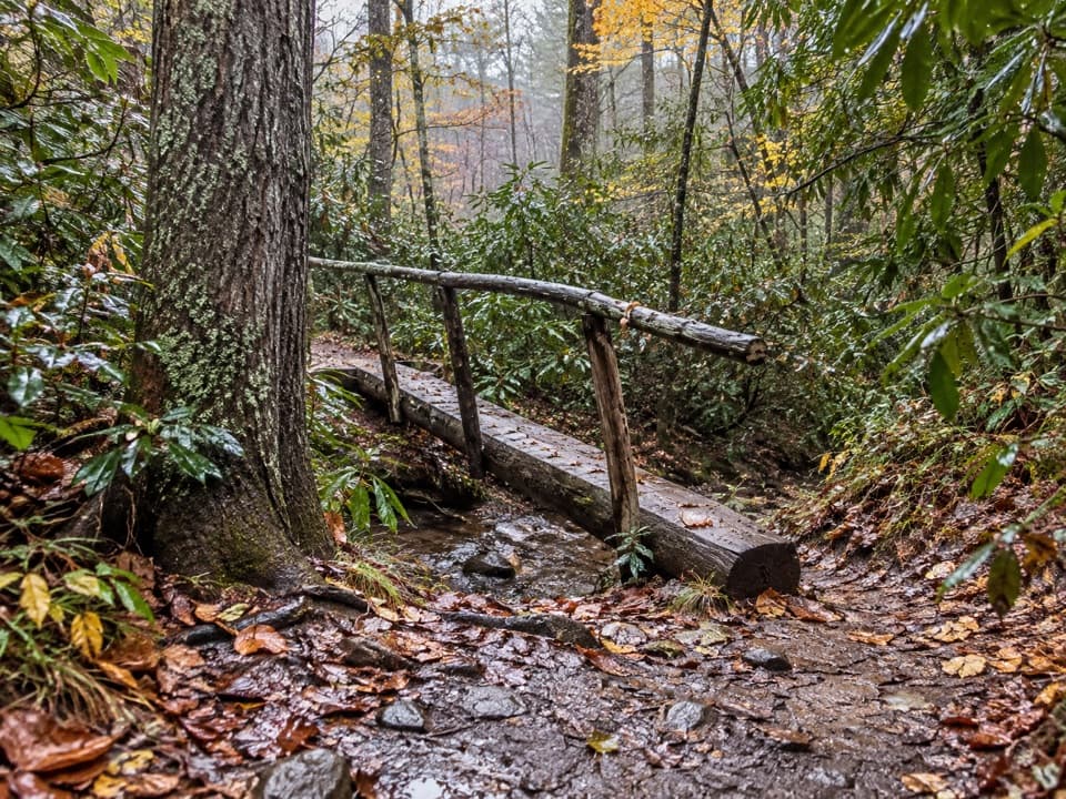
  • Long climbing section with repeated creek crossings.
  • Most ridge views open up after leaves fall.

Map & elevation

The route

Loading the Great Smoky Mountains map
Full map
Elevation1,900–3,638 ft
TrailheadRich Mountain Loop Trail Trailhead, Cades Cove Loop Road35.60687, -83.77840
Keep this map with you offline in the Parkwolf app

Plan your hike

Before you go

Parking

Use the large lot before the Cades Cove Loop Road gate; the trail starts just beyond the gate on the right. A Smokies parking tag is required for vehicles parked longer than 15 minutes. Restrooms at Cades Cove Visitor Center are a separate stop.

Safety

The climb crosses Marthas Branch repeatedly; do not attempt the crossings if water is high. Crooked Arm Ridge descends steeply. Pets are not permitted on this trail.

7 active Great Smoky Mountains alerts

  • ClosureHurricane Helene trail damage and backcountry restrictionsHurricane Helene damage has restricted backcountry trail access; avoid damaged crossings and observe trail-specific limits.Official details
  • CautionBear-related trail, campsite, and road restrictionsBear activity has closed trails, a shelter, and campsites and restricted pedestrian access on Cherokee Orchard Road; stay out of closed areas and follow vehicle-only rules.Official details
See all 7 alerts
A park ranger sits on a dash-mounted phone, talking, as Parkwolf’s Tour Guide plays “Army Cutworm Moths: A Grizzly Bear Buffet” on Grand Loop Road below Dunraven Pass in Yellowstone
Parkwolf Tour GuideThe highest, rockiest slopes around here are a summer buffet for grizzly bears.

Great Smoky Mountains Tour Guide

Your drive to Rich Mountain Loop Trail, narrated.

Parkwolf is a GPS audio tour guide for Great Smoky Mountains National Park. As you drive, it chimes in with what’s ahead: hidden gems, upcoming stops, history, geology, and wildlife, right through your car’s speakers.

See the Great Smoky Mountains audio tour

Recorded for this trailhead

Rich Mountain Loop Trailhead
0:00 / 0:22
“You're coming up on Rich Mountain Loop trailhead, for an eight point five-mile circuit above Cades Cove. Allow about five hours, with a long climb, repeated creek crossings and a steep descent.”

Plays as you drive up to this trailhead in the Parkwolf Great Smoky Mountains Tour Guide.

More stories near here in the app

  • Cades Cove Campground Store and Riding Stables
  • Cades Cove Picnic Area
  • John Oliver Cabin
  • Carter Shields Cabin
  • 200 audio storiesacross Great Smoky Mountains’s roads, triggered by GPS as you drive
  • Wildlife heatmapsfor Black Bear, Elk, Bald Eagle, and 13 more
  • Works offlinemaps, 197 trails, 137 places, and audio download before you lose signal
  • CarPlay readysimple controls built for the drive
★★★★★
“Fantastic app with many points of information… It’s great to just turn on while you’re driving and it gives you an audio tour of the national Park. We love it!!!!”
JMJamesApp Store review
Download Parkwolf on the App StoreGet Parkwolf on Google Play

4.7 from 8,600+ ratings

Trail guide

Hiking Rich Mountain Loop Trail

A full loop above Cades CoveRich Mountain Loop Trail is an 8.

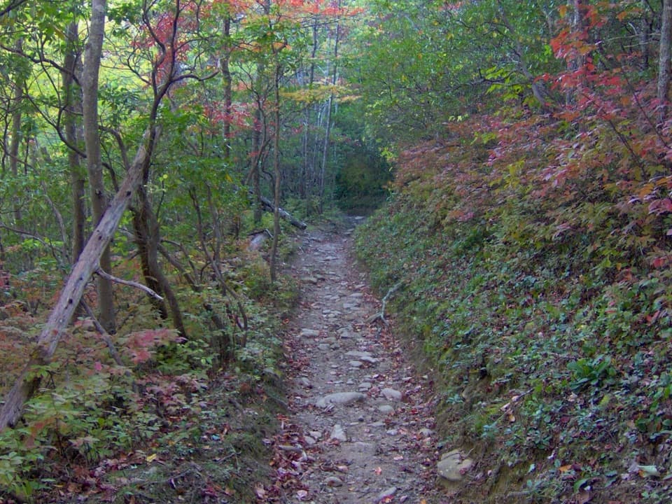
Rich Mountain Loop Trail is an 8.5-mile circuit from its Cades Cove trailhead, linking Rich Mountain Loop, Indian Grave Gap, and Crooked Arm Ridge before retracing the shared approach to the same start. Allow about five hours. The long climb and several creek crossings make it a demanding half-day, with a steep descent on the return. Published climbing estimates range from roughly 1,700 to 2,000 feet, so plan for a sustained uphill rather than a quick cabin visit.

Past the cabin and up Marthas BranchThe walk leaves the road near the Cades Cove entrance, crosses meadow and small streams, then…

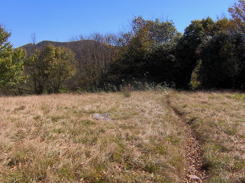
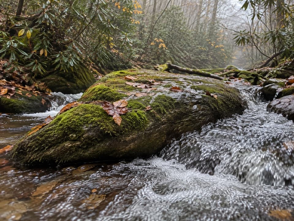
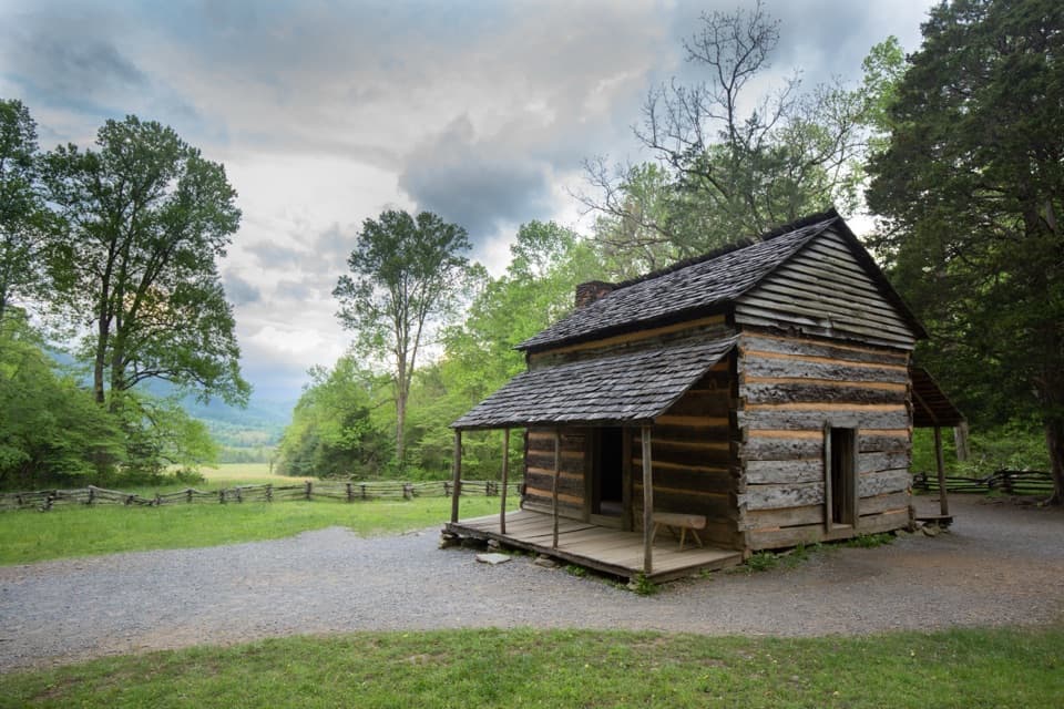
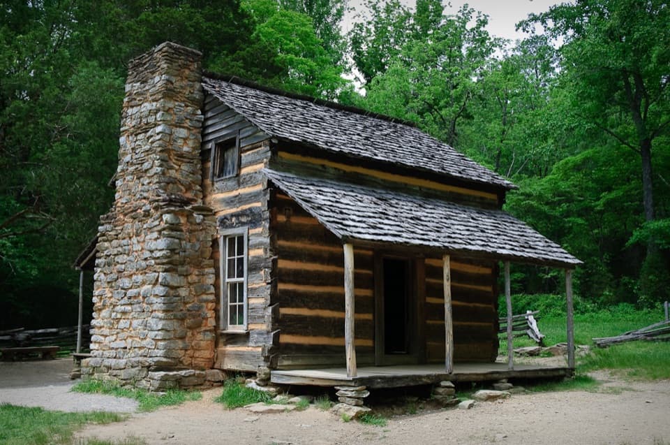
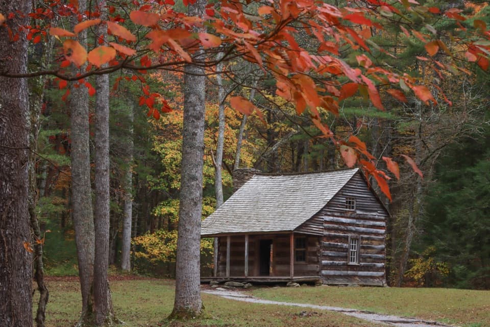
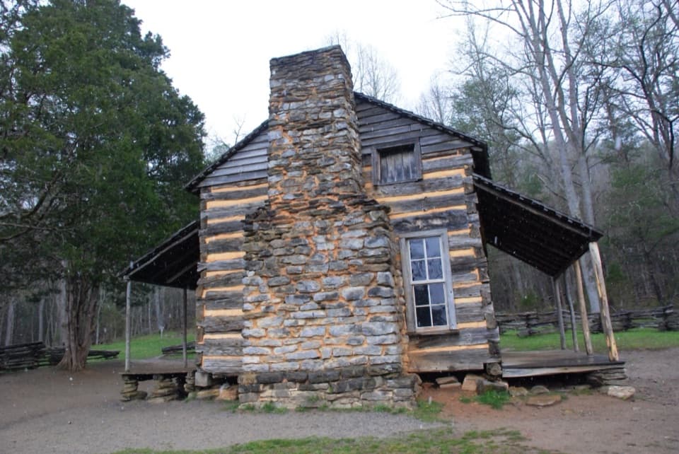
The walk leaves the road near the Cades Cove entrance, crosses meadow and small streams, then reaches John Oliver Cabin about 1.4 miles in. The Oliver family arrived in Cades Cove in 1818, and the cabin dates to the 1820s. From there, the route climbs beside Marthas Branch, crossing the creek repeatedly as it gains the ridge. There is no listed water source along the route, so carry what you need for the full walk.

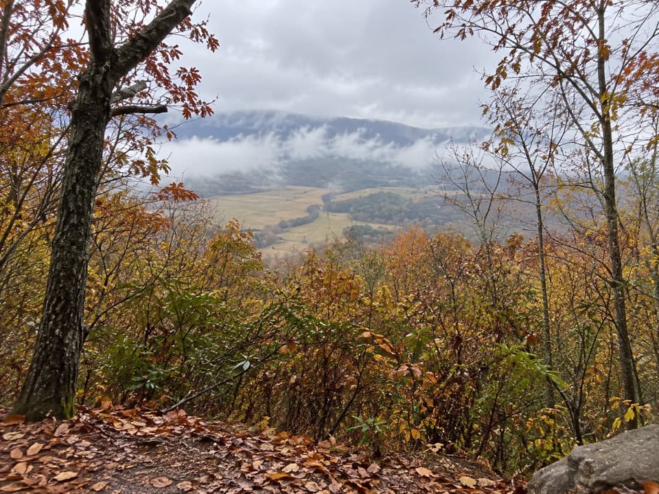
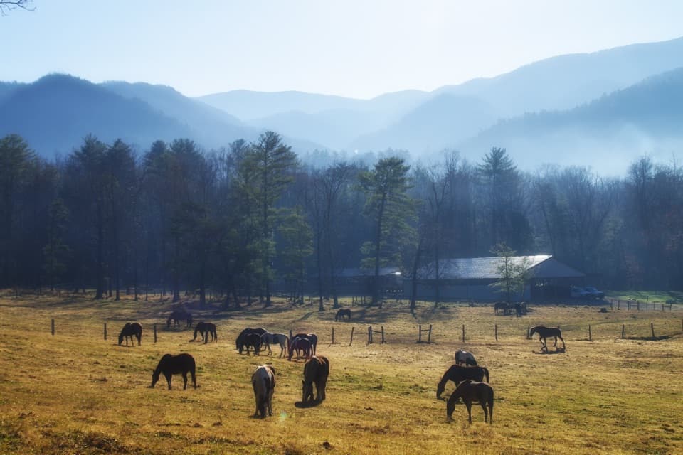
Ridge views and a side spurNear Cave Ridge, a prospect looks back across Cades Cove.

Near Cave Ridge, a prospect looks back across Cades Cove. Farther along, openings on the ridge face toward Townsend and Tuckaleechee Cove; the views are less screened after deciduous leaves fall. A faint, steep spur reaches Cerulean Knob, just under 3,700 feet, where the foundation of a former fire tower remains. The spur is optional and is not part of the mapped loop. At the cove prospect, leave some meadow in the frame to show the scale of the climb.

The way downThe return turns onto Crooked Arm Ridge and descends along Crooked Branch.

The return turns onto Crooked Arm Ridge and descends along Crooked Branch. A roughly 25-foot cascade sits near the junction with the Rich Mountain approach; after that, retrace about half a mile to the trailhead. Cross the creek only when the water is manageable, and take your time on the steep descent.

Before you set outPark in the large lot before the one-way Cades Cove Loop Road gate; the trailhead begins just…

Park in the large lot before the one-way Cades Cove Loop Road gate; the trailhead begins just beyond it on the right. A Smokies parking tag is required for vehicles parked longer than 15 minutes. Restrooms at Cades Cove Visitor Center are a separate stop. Pets are not permitted on this trail.

Wildlife

Wildlife in Great Smoky Mountains

All Great Smoky Mountains wildlife maps

Sighting maps show where each species has been reported across Great Smoky Mountains. Wildlife moves, so no sighting is guaranteed.

Keep exploring

Near Rich Mountain Loop Trail

See it all on the map

Trails that start nearby

Places near the trailhead

Parkwolf’s Great Smoky Mountains ranking

Top-rated trails in Great Smoky Mountains

All 197 trails
  1. 1Mount Le Conte via Alum Cave TrailChallenging · 10 mi
  2. 2Charlies Bunion via Appalachian TrailModerate · 8 mi
  3. 3Alum Cave Trail to Alum Cave BluffsModerate · 4.6 mi
  4. 4Ramsey Cascades TrailChallenging · 8 mi
  5. 5Mount Cammerer TrailChallenging · 11.1 mi
  6. 6Gregory Ridge TrailChallenging · 11.4 mi

Take Parkwolf to Great Smoky Mountains.

The audio tour guide for the drive, plus offline maps, trails, and wildlife heatmaps for when the signal drops.

4.7 from 8,600+ ratings

Download Parkwolf on the App StoreGet Parkwolf on Google Play