
Place · 1.3 mi away
Easy
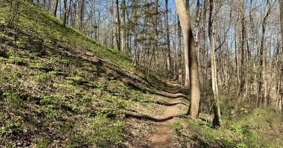
Finley Cane is a mellow woods walk that trades big views for cool shade and solitude. It runs 2.8 miles one way to its junction with Bote Mountain Trail (5.6 miles total out-and-back) and is considered easy by Smokies standards, with roughly 200–300 feet of total elevation gain. If you’re crowd-averse and love classic Smokies forest, this is your lane.
The trail starts along Laurel Creek Road about 5.5 miles from the Townsend Wye, sharing roadside parking with Lead Cove and Turkeypen Ridge. Within the first tenth of a mile, ignore a left turn signed toward Turkey Pen—stay straight to remain on Finley Cane. The path eases through mixed hardwood–hemlock forest and crosses three small streams—Sugar Cove Creek, Laurel Cove Creek, and Hickory Tree Branch—typically via easy rock hops. The final mile climbs more steadily to Bote Mountain Trail, where you can turn around or link a loop.
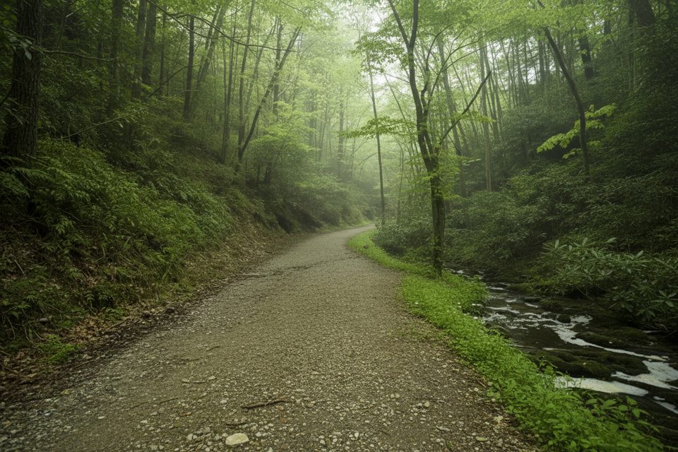
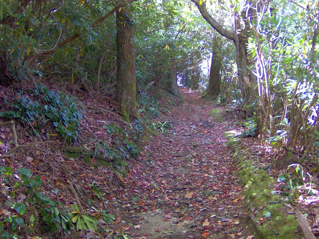
Expect lush, tunnel-like rhododendron in places, especially shady and welcome on warm days. You’ll pass mature tuliptree, oaks, and Eastern hemlock, with mushrooms and spring wildflowers adding interest underfoot. Keep an eye out for patches of native river cane near the upper section—this is the park’s only native bamboo. Wildlife sightings can include white-tailed deer and black bear; give all animals plenty of space.
Beneath your boots are ancient sedimentary layers of the Ocoee Supergroup, later metamorphosed during Appalachian mountain building. Long-running erosion—not glaciers—sculpted the coves and ridges here, which is why the grade feels gentle even as the trail gains toward Bote Mountain.
This one works year-round. Spring brings standout wildflowers; July often showcases peak rhododendron bloom. Summer is humid—start early and enjoy the shade. After heavy rain, expect slick rocks and slightly higher creek levels. Weekdays see lighter traffic than weekends.
For more mileage, continue right on Bote Mountain and descend Lead Cove to create a satisfying ~7-mile loop back to Laurel Creek Road. If you’re chasing big views instead of forest ambience, the Bote Mountain Trail up to Spence Field is a much longer, strenuous option with rewarding panoramas.
Roadside parking is limited—arrive early and use caution along Laurel Creek Road. Trekking poles are handy for the crossings and for the muddy patches that can develop where horses use the trail. In warm months, bug repellent helps. No pets are allowed on this trail.
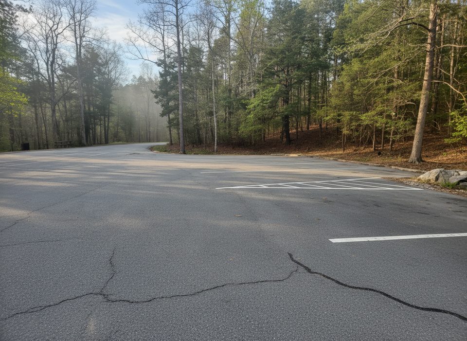
Roadside pullouts on Laurel Creek Road about 5.5 miles from the Townsend Wye; limited spaces shared with Lead Cove and Turkeypen Ridge trailheads.
Three shallow creek crossings can be slick or swell after rain; horse use may create muddy, rutted stretches. Watch the early junction—stay straight to remain on Finley Cane—and practice bear safety.
Place · 1.3 mi away
Place · 1.5 mi away
Place · 1.7 mi away
Place · 1.8 mi away

Challenging · 0 mi away
Easy · 1.8 mi away
Challenging · 1.8 mi away

Moderate · 1.9 mi away

Parkwolf Tour Guide
