
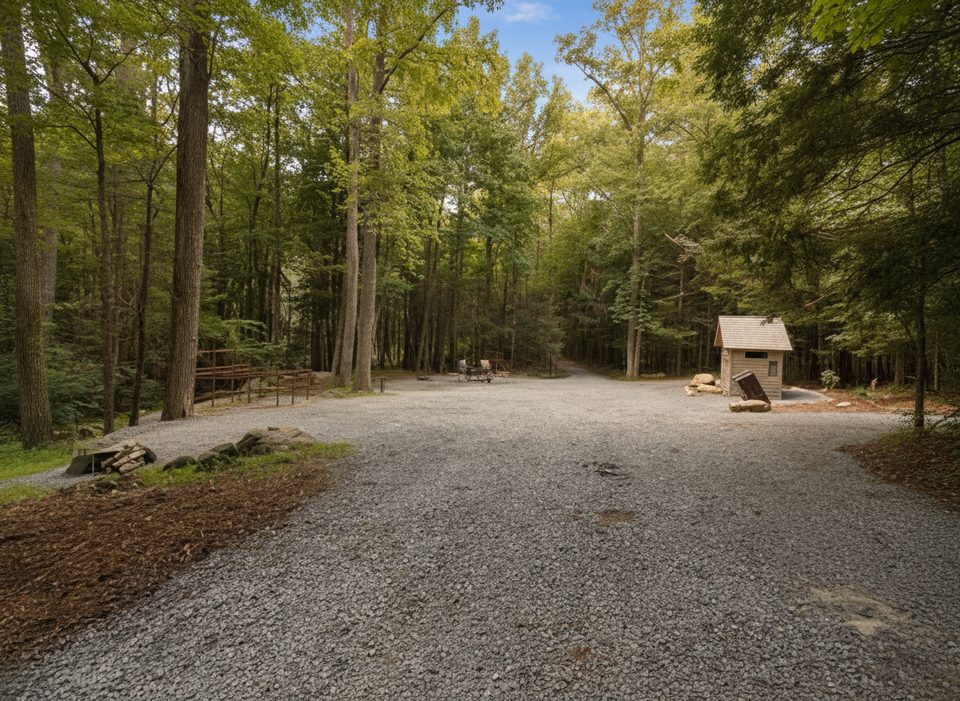
Place · 1.3 mi away
Challenging

Lead Cove is a short but stout climb through classic Smokies cove hardwood forest and rhododendron thickets, topping out at its junction with Bote Mountain Trail. It’s 1.8 miles one way (3.6 miles total out-and-back) with roughly 1,150–1,170 feet of gain—so yes, it’s steep and sustained. Expect limited views on Lead Cove itself; this path shines as a quieter approach and a building block for bigger days to Spence Field and Rocky Top.
You’ll rock-hop a few small streams near the start and pass old homesite remnants (a chimney and stone foundation) early on. The name may date to 1800s lead ore activity in the area. Underfoot, the tread can be rocky, rooty, and occasionally rutted; trekking poles are a smart call. Dogs are not allowed on this trail.
This is a forest-forward hike: mixed hardwoods, rhododendron tunnels, and lively spring wildflowers. Higher up on the Bote Mountain/Spence Field extensions you’ll find shrublands with laurel and azalea blooms and intermittent ridge views. Wildlife sightings do happen—give animals plenty of space and keep your group tight and alert.
Year-round works. Spring brings flowers and comfortable temps; early summer sees laurel/azalea blooms up on the ridges. Summer can be hot and buggy—start early or aim for cooler seasons. Weekdays and early mornings help with both parking and solitude.
Trailhead parking is a small roadside pull-off along Laurel Creek Road, roughly a mile before Cades Cove, near the Finley Cane and Turkeypen Ridge trailheads. Arrive early; spots are few. The park requires a parking tag for vehicles left more than 15 minutes. Water is available from streams low on the trail—treat before drinking. After rain, expect mud and ruts. Cell service is extremely limited. If you want big views, commit to the Spence Field or Rocky Top extensions; if you want a mellower wander, consider making the loop via Finley Cane rather than returning straight down the steep grade.
Small roadside pull-offs on Laurel Creek Road about a mile before the Cades Cove entrance, near Finley Cane and Turkeypen Ridge trailheads; arrive early and display the required park parking tag.
Steep, sustained climb with loose rock and rutted, muddy sections after rain; a few rock-hop stream crossings; hot/buggy in summer; limited cell service; no dogs allowed.
Place · 1.3 mi away
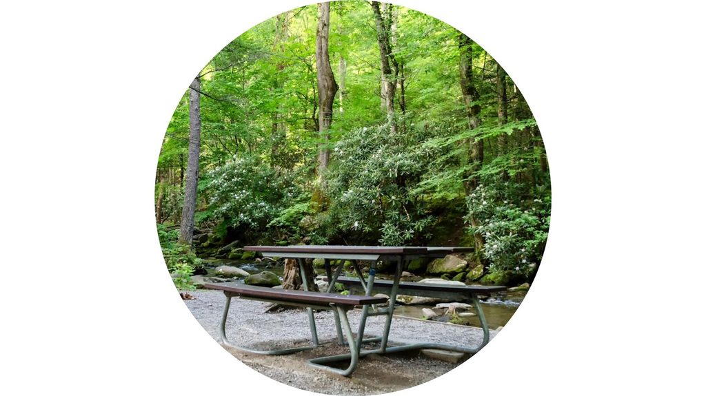
Place · 1.5 mi away
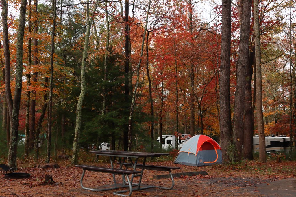
Place · 1.7 mi away
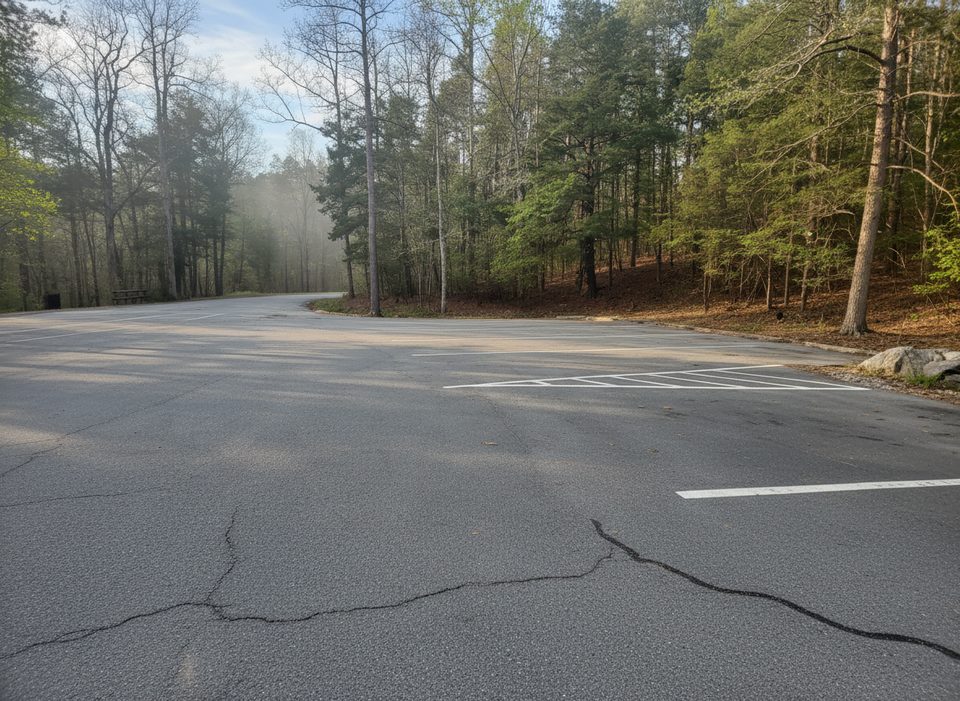
Place · 1.8 mi away
Easy · 0 mi away
Easy · 1.8 mi away
Challenging · 1.8 mi away

Moderate · 1.9 mi away

Parkwolf Tour Guide
