
Place · 0 mi away
Challenging
Crooked Arm Ridge is a short, punchy climb right out of Cades Cove that earns its views the old-fashioned way: with 1,400–1,500 feet of gain in just about 2.2 miles one way. Expect a sustained grade, roots, and some rocky footing. If you want a quieter, workout-heavy alternative to the Cove road scene, this is it.
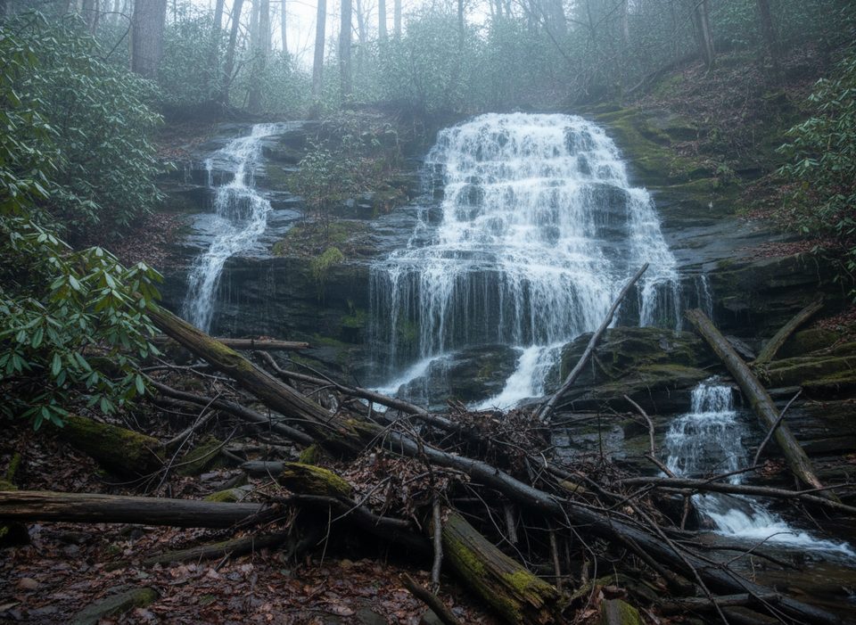
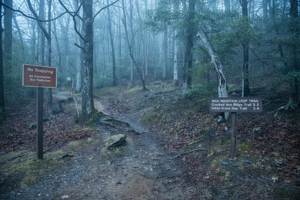
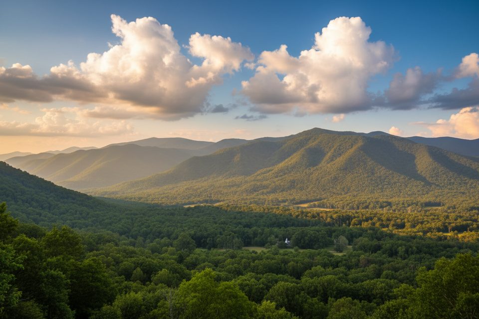
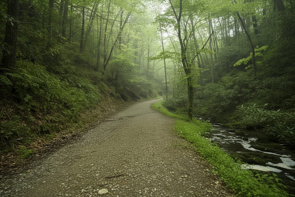
Park at the large lot at the start of the Cades Cove Loop Road, then walk the loop (with traffic) to the signed Rich Mountain Loop. Follow Rich Mountain Loop for roughly 0.5 miles to the junction with Crooked Arm Ridge, then turn right to begin the climb. About 0.2 miles up, a modest cascade drops in wet weather—nice after rain, underwhelming or dry in lean spells. Higher up, the trail switchbacks through rooty, sometimes rutted tread with small rock-hop crossings of Crooked Arm Branch. Intermittent windows open toward Cades Cove, with one of the better viewpoints around 1.7–1.8 miles. The trail tops out at the junction with Indian Grave Gap and Scott Mountain.
For more mileage, the classic day option is the Rich Mountain Loop: Rich Mountain Loop → Indian Grave Gap → Crooked Arm Ridge, 8.4–8.7 miles altogether with about 2,000 feet of gain. It’s a fine, quieter circuit compared with the auto loop.
By Smokies standards, this is moderate-to-strenuous mostly due to the sustained, steep grade (around 13% average). If you like a compact climb with views and don’t mind working for them, you’ll be happy. If you’re chasing a big waterfall, temper expectations—the cascade is seasonal and often a trickle.
Deer are commonly seen near the Cove, and black bear sightings do occur—give wildlife plenty of space. You’ll also pass through areas with seasonal blooms and leaf color, but this hike is more about the ridge climb and Cove views than lush creekside scenery.
All seasons work. Mornings are best to beat Cades Cove traffic and summer heat. After rain (or in wetter seasons), the cascade shows best; in dry spells, prioritize the ridge and views instead. Leaf-off months open up the outlooks; fall leaves can hide roots and get slick.
Start early, carry enough water, and consider trekking poles for the steep, rooty sections and slick rock-hops. Watch footing after storms—mud and occasional blowdowns happen. Pets aren’t allowed on this backcountry trail; service animals excepted where permitted by park rules.
Park at the large lot at the start of the Cades Cove Loop Road (by the orientation/visitor info area). Walk the loop road to the Rich Mountain Loop sign, follow it ~0.5 mi to the Crooked Arm Ridge junction.
Steep, sustained grade with rooty, rutted footing; small rock-hop crossings can be slick, especially after rain. Expect a short road walk with vehicle traffic. Give deer and any black bears plenty of space.
Place · 0 mi away
Place · 0.3 mi away
Place · 0.4 mi away
Place · 0.5 mi away
Moderate · 0.3 mi away
Challenging · 2 mi away
Easy · 2 mi away
Easy · 3.2 mi away

Parkwolf Tour Guide
