Pros & cons
PROS
- Short walk from a roadside pull-off
- Historic Civil War–era gravesite of Bas Shaw
CONS
- No amenities on site
- Tight curves and heavy traffic on nearby US 129
Overview
Shaw Grave Gap is a small, historic stop tucked above US 129 near Deal’s Gap. It marks the grave of Bas Shaw, who was killed around 1863–1864 during the Civil War era connected to the Kirkland Raiders. This is a niche, reflective spot—more about a quiet moment of history than big views or a long hike.
Getting There
You’ll reach it from a pull-off on the famed US 129—better known as the Tail of the Dragon—about 6.5 miles past the Tennessee/North Carolina line near Deal’s Gap. From the pull-off, a short path climbs a hill to the gravesite at Big Poplar Turn. Use extreme caution: this road is all tight curves and enthusiastic drivers.
What You’ll See
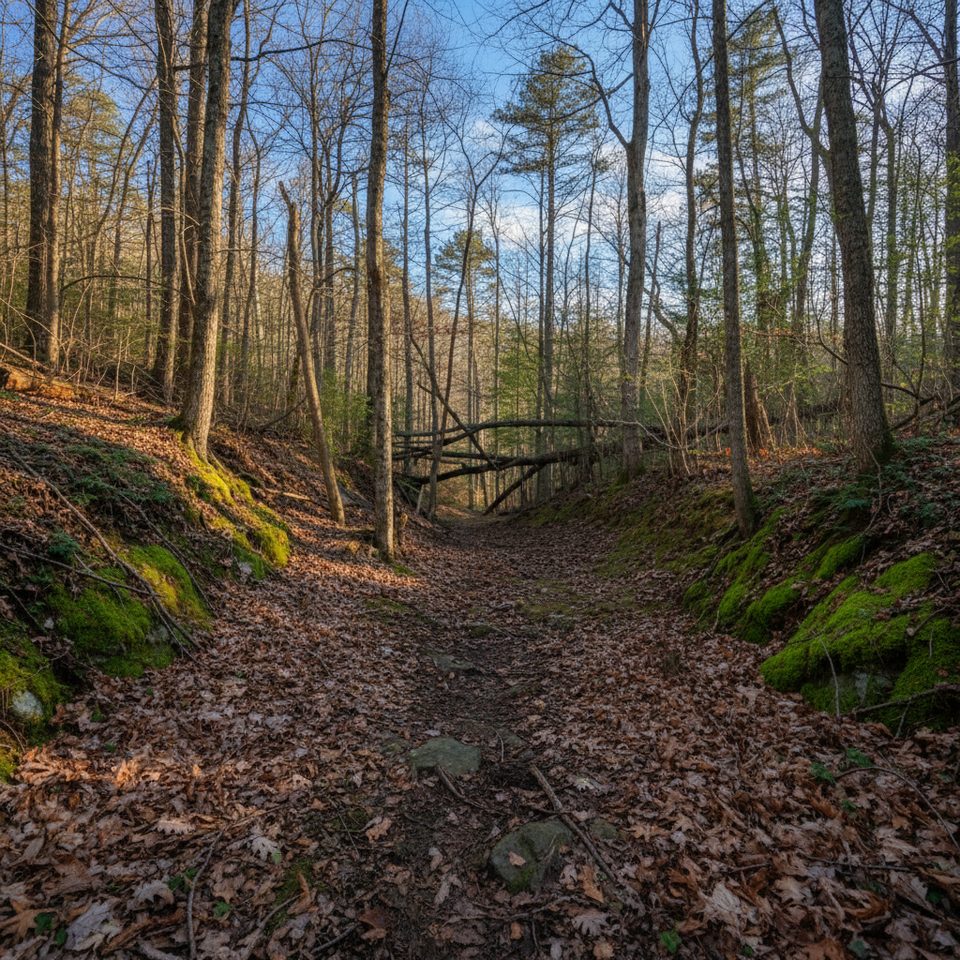
Don’t expect facilities or exhibits. You’re here for a solitary gravesite and a tangible connection to the Smokies’ Civil War backstory. The setting is wooded and quiet once you step off the pavement, with the kind of stillness that rewards a brief, respectful visit.
Best Time to Visit
Weekdays and early mornings are your friend—US 129 sees heavy traffic, especially on weekends and fair-weather afternoons. Morning light is softer for photos, and cooler temps make the short uphill walk more pleasant.
Know Before You Go
- No amenities: no restrooms, water, or trash service. Pack it in, pack it out.
- The pull-off can be tight; plan a safe re-entry onto US 129 and don’t rush turns.
- Road and access conditions can change—check current park alerts before you set out.
Where it is
35.5071, -83.9546Tips for Shaw Grave Gap
- 01Use extra caution pulling off and re-entering US 129’s blind curves.
- 02There are no facilities; bring water and pack out all trash.
- 03The path is short but uneven—wear sturdy shoes.
- 04Verify current park alerts before you go in case of road changes.
Amenities
Near Shaw Grave Gap
All places →All trails →
3.1 mi awaySheep Wallow KnobRemote, trailless summit for solitude-seeking navigators
4.2 mi awayGregory Bald TrailShorter, steeper path to azalea-famous summit meadow viewsChallenging · 9 mi · 5.5 hr
4.5 mi awaySheep Pen GapGrassy high-country campsite steps from Gregory Bald viewsScenic Viewpoint
5.1 mi awayGregory BaldFlower-filled summit with sweeping mountain views after a stout hikeScenic Viewpoint
5.1 mi awayTwentymile Loop TrailQuiet creek-and-forest loop with footlog crossings and cascades.Moderate · 7.7 mi · 3.7 hr
5.1 mi awayTwentymile TrailCreekside climb to the AT with a Shuckstack tower payoffChallenging · 10 mi · 0 min
5.2 mi awayTwentymile Ranger StationRemote trailhead gateway to Twentymile Cascade, Shuckstack and Gregory BaldTrailhead · Parking
7.2 mi awayGregory Ridge TrailSteep, shaded grind to a flower studded bald with huge views.Challenging · 11.1 mi · 6.4 hr