Parking
Park at the road-end trailhead beyond Twentymile Ranger Station. The small lot has no restrooms. An NPS parking tag is required for stays longer than 15 minutes.
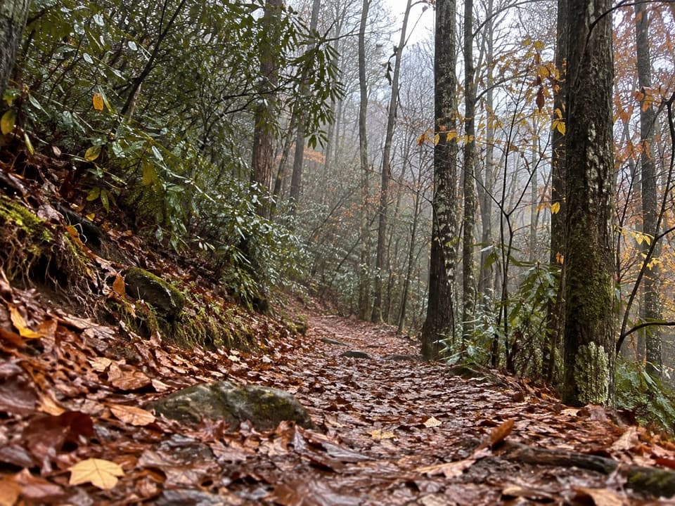
Great Smoky Mountains National Park, TN · NC
A quiet 10-mile climb from Twentymile Creek to the AT.
Overview
Map & elevation
Plan your hike

The highest, rockiest slopes around here are a summer buffet for grizzly bears.
Great Smoky Mountains Tour Guide
Parkwolf is a GPS audio tour guide for Great Smoky Mountains National Park. As you drive, it chimes in with what’s ahead: hidden gems, upcoming stops, history, geology, and wildlife, right through your car’s speakers.
See the Great Smoky Mountains audio tourRecorded for this trailhead
Twentymile Trailhead and Cascade“You're nearing Twentymile trailhead, where a short creekside hike leads to Twentymile Cascade. Allow about forty-five minutes for roughly a mile and a quarter there and back, mostly on a broad gravel roadbed.”
Plays as you drive up to this trailhead in the Parkwolf Great Smoky Mountains Tour Guide.
More stories near here in the app
“Fantastic app with many points of information… It’s great to just turn on while you’re driving and it gives you an audio tour of the national Park. We love it!!!!”


Trail guide
Twentymile Trail is a 10.1-mile out-and-back from the road-end trailhead to its Appalachian Trail junction. The name comes from nearby Twentymile Ranger Station, not the hike's length. Expect about five miles climbing out of a stream valley, then return the same way, with roughly 2,300 feet of ascent. Plan on about seven hours with stops. It is a quiet, full-day forest walk; most of the main route has few broad views.
The lower path follows a wide former roadbed beside a mountain stream. About half a mile in, a junction and short spur lead to Twentymile Cascade. That separate waterfall outing is 1.2 miles round trip from the same trailhead. Continue on Twentymile Trail for the longer climb to the AT. The grade is purposeful but generally not sharply steep, and the forest keeps much of the climb shaded.
Twentymile Trail ends at the AT near Shuckstack Fire Tower. The tower is less than a mile farther along the AT and gives you a broad view above the canopy. That is an optional extension; the 10.1-mile figure stops at the Twentymile junction and doubles back.
The trailhead is at the road's end beyond Twentymile Ranger Station. The small lot has no restrooms, and an NPS parking tag is required for stays longer than 15 minutes. Pets are prohibited on this route; park trails allowing pets are limited to Gatlinburg and Oconaluftee River.
Wildlife
 1,569 sightingsBlack BearMost seen around 7 PMSighting map
 900 sightingsElkMost seen around 7 AMSighting map
 13 sightingsBald EagleMost seen around 9 AMSighting map
 142 sightingsTimber RattlesnakeMost seen around 6 PMSighting map
 26 sightingsBobcatMost seen around 8 PMSighting map
 42 sightingsRiver OtterMost seen around 7 AMSighting map
Sighting maps show where each species has been reported across Great Smoky Mountains. Wildlife moves, so no sighting is guaranteed.
Keep exploring
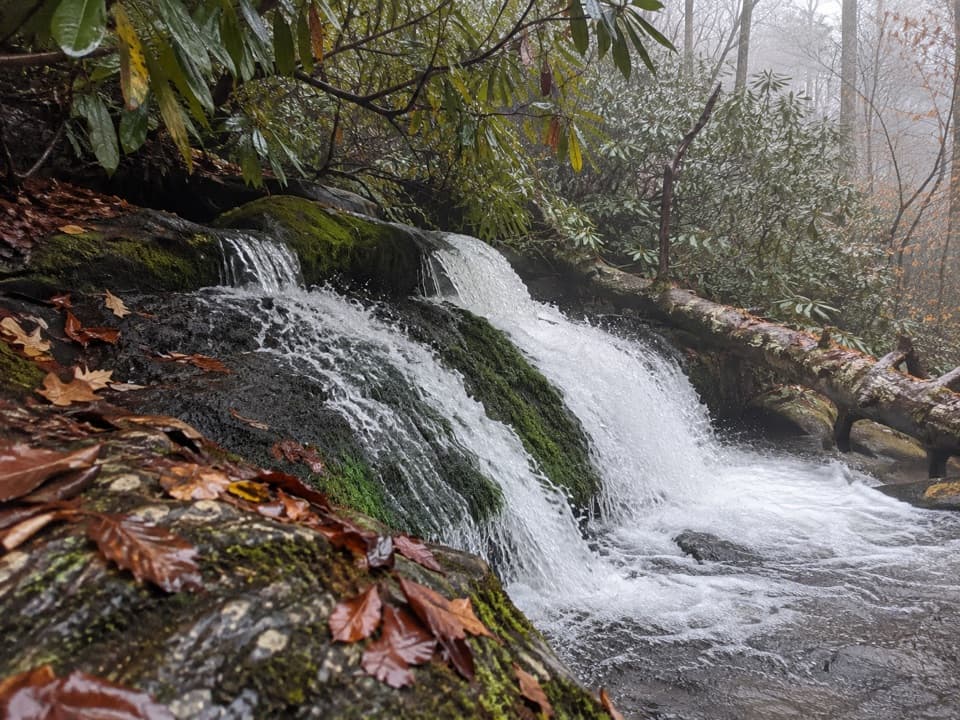 EasyTwentymile Cascade Trail1.2 mi · 45 min · At the trailheadA short creekside walk ends beside a mossy cascade.
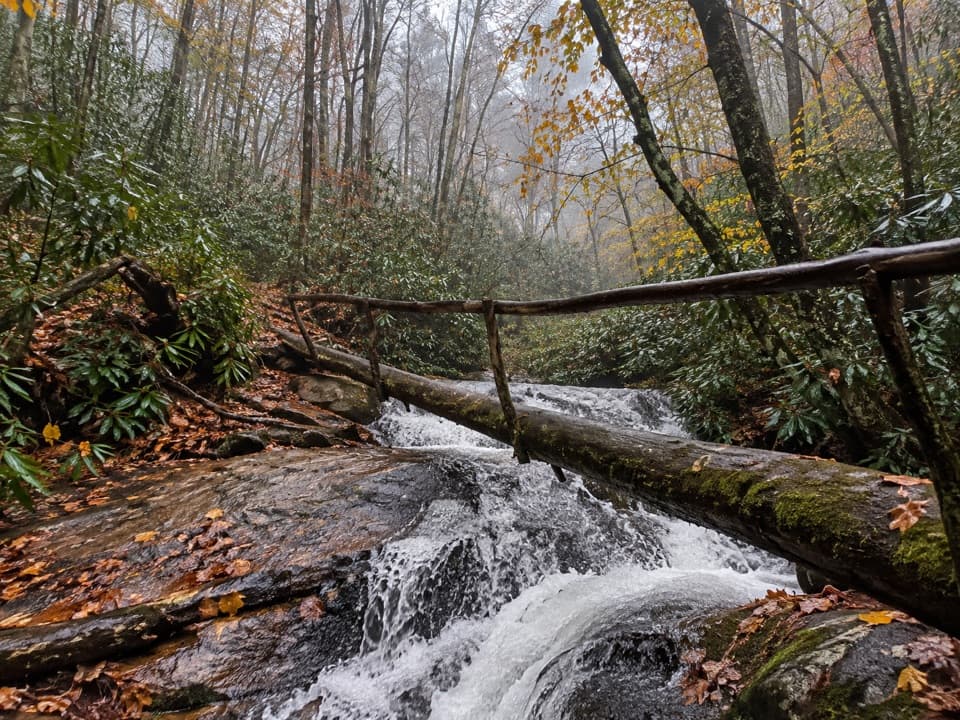 ChallengingWolf Ridge Trail to Sheep Pen Gap13.7 mi · 9 hr · At the trailheadA steep, remote out-and-back to Sheep Pen Gap.
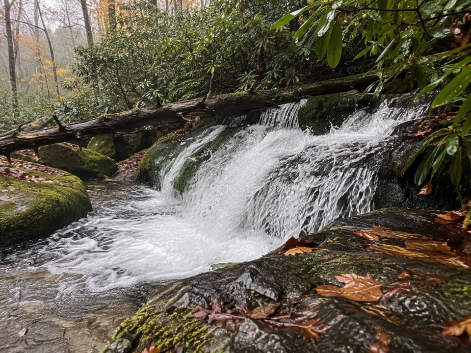 ModerateTwentymile Loop Trail7.6 mi · 4.5 hr · 0.1 mi awayA forest loop with mossy cascades, log bridges, and a waterfall spur.
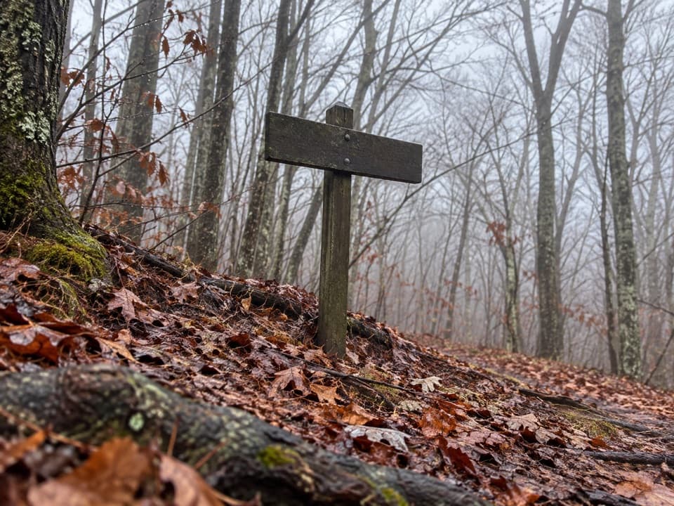 ChallengingLong Hungry Ridge Trail4.6 mi · 3.5 hr · 2.5 mi awayA backcountry ridge link with several unbridged creek crossings.
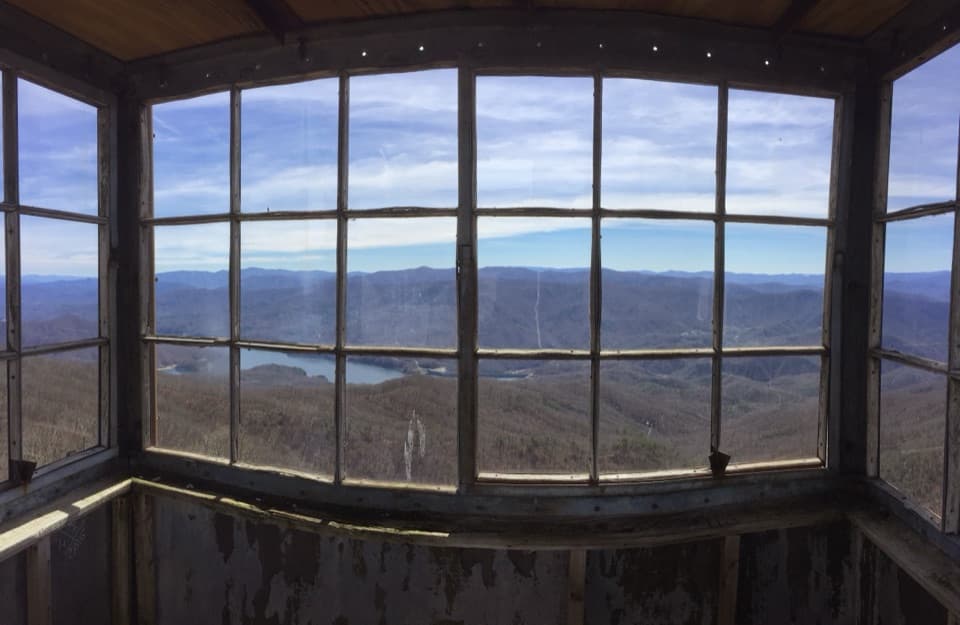 ChallengingShuckstack Fire Tower Trail6.8 mi · 5.5 hr · 3.7 mi awayA steep Appalachian Trail climb ends at a tower above Fontana Lake
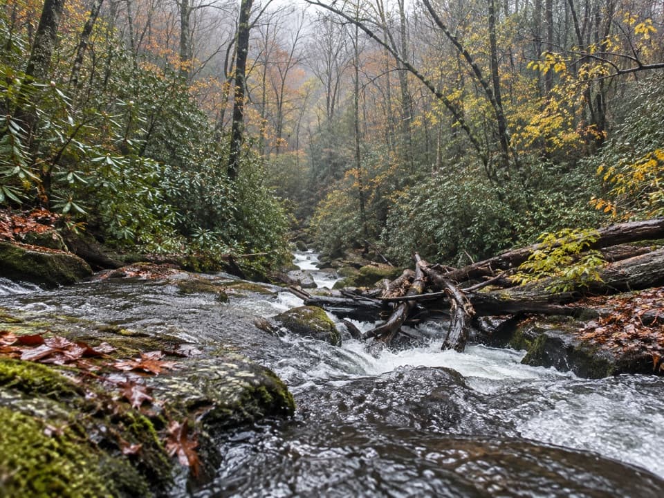 ChallengingLost Cove Trail2.7 mi · 2 hr · 3.8 mi awayA steep, shaded descent from the A.T. to Lakeshore Trail.
 ChallengingAppalachian Trail71.1 mi · 2 days · 4.1 mi awayA week on the high ridge, with spruce-fir and rocky overlooks.
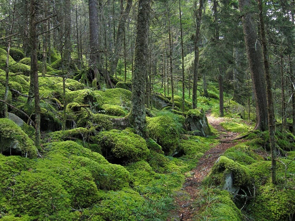 ChallengingBenton MacKaye Trail93.4 mi · 3.3 days · 4.3 mi awayA 93-mile Smokies crossing from Fontana Dam to Big Creek.
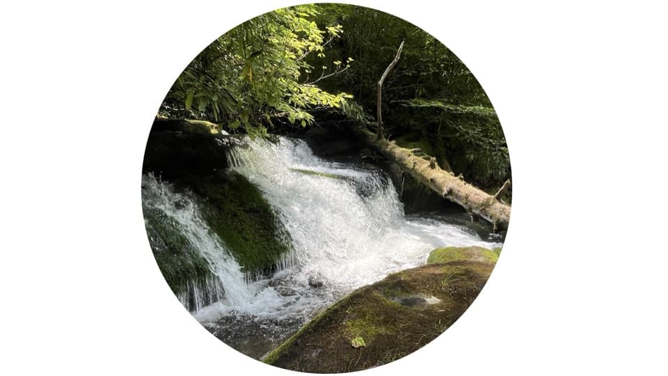 Sight · 0.5 mi awayTwentymile CascadeA short creekside walk to a 22-foot sandstone cascade.Sight · 3.7 mi awayShuckstack Fire TowerA ridge climb ends at a steel lookout above Fontana Lake.
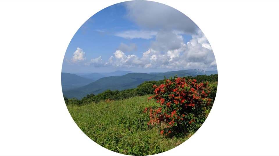 Sight · 3.7 mi awayGregory BaldAn open summit of flame azaleas, earned by a long Smokies hike.
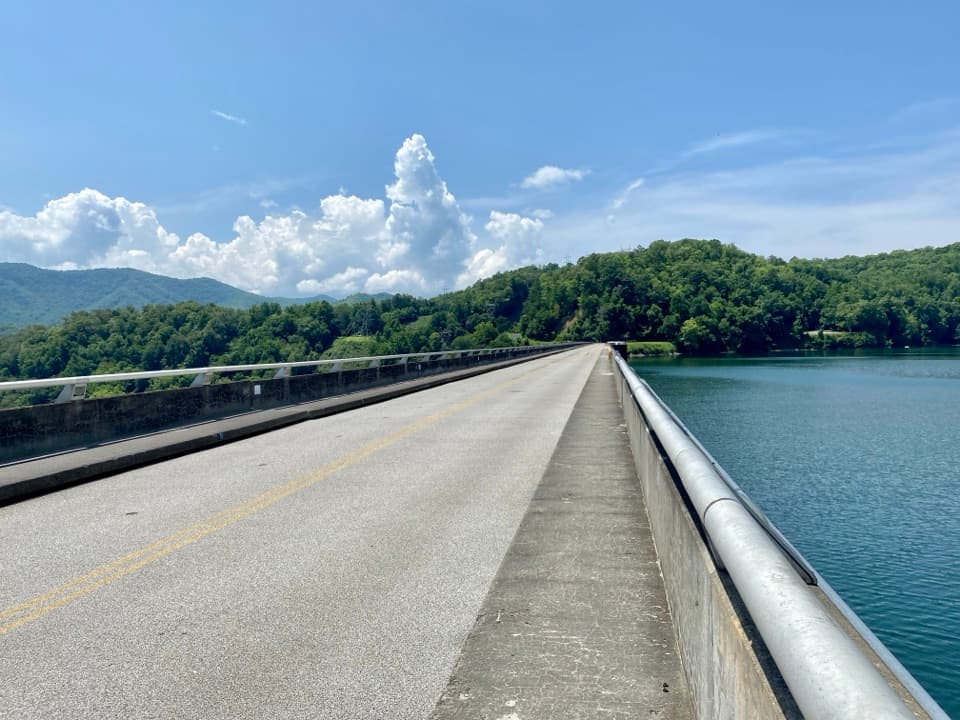 Sight · 4.2 mi awayFontana DamA 480-foot dam doubles as an Appalachian Trail crossing.
 Sight · 7.9 mi awayHenry Whitehead PlaceSpot the “granny hole” in Cades Cove’s older cabin.
 Sight · 8.3 mi awayCable Mill Historic AreaSee an 1870s mill where water powered a working cove.
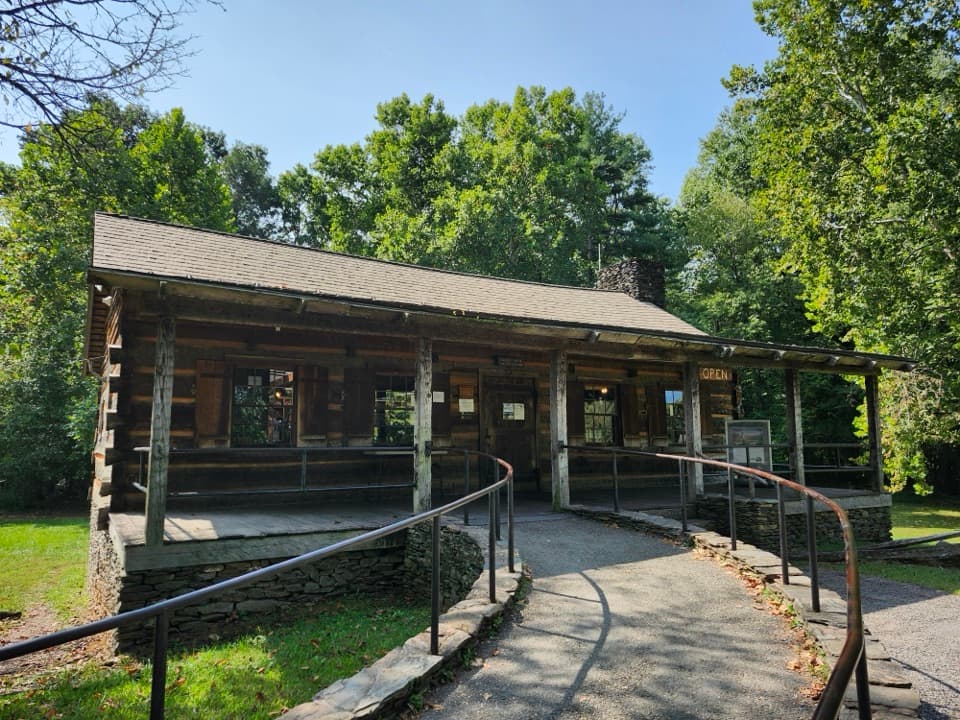 Visitor center · 8.3 mi awayCades Cove Visitor CenterA handy loop break with a water-powered mill right beside it.
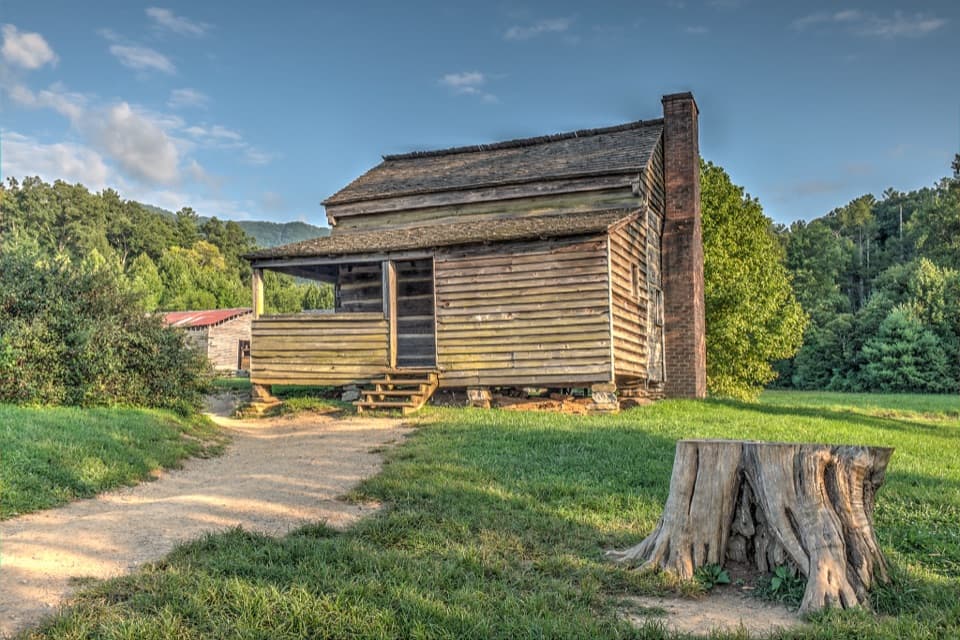 Sight · 8.9 mi awayDan Lawson PlaceAn 1856 log home that grew into a post office and store.
Parkwolf’s Great Smoky Mountains ranking

The audio tour guide for the drive, plus offline maps, trails, and wildlife heatmaps for when the signal drops.




