
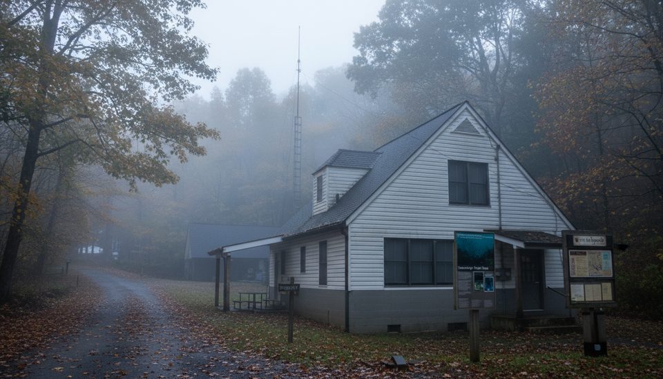
Place · 2.2 mi away

Sheep Wallow Knob is a small, trailless summit on the southwest side of the Smokies, roughly 3,380 feet high and straddling the Tennessee–North Carolina line. It’s not a destination with signs or railings—think map-and-compass navigation and a quiet high point tucked in the woods.
There’s no official trailhead or marked path to the summit. Most folks stage from nearby, maintained trails and finish with a short bushwhack to tag the true high point. Expect no facilities, no water, and no signage—this one is all about self-reliance and route-finding. If you prefer a paved pullout and wayfinding signs, pick a different objective.
Solitude. If you like piecing together your own line and earning a quiet, seldom-visited spot, this knob scratches that itch. It’s a good micro-adventure when you’ve already hit the marquee viewpoints and want something more low-key and wild.
Like much of the Smokies, the bedrock here comes from ancient sedimentary layers (the Ocoee Supergroup) that were later metamorphosed during mountain-building collisions hundreds of millions of years ago. Over time, older rocks were thrust over younger ones along major faults, and relentless erosion has sculpted today’s rounded summits and ridges.
Go when roads are open and conditions are stable. Weekdays make staging easier, and shoulder seasons tend to be calmer. Because there’s no formal route, give yourself plenty of daylight and keep an eye on current park alerts and seasonal road statuses before committing.
Place · 2.2 mi away
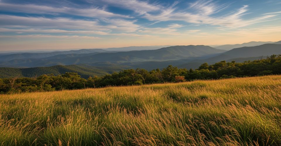
Place · 2.7 mi away
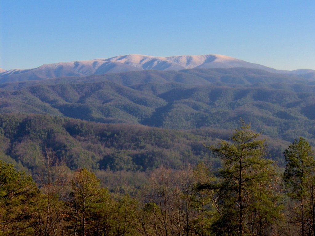
Place · 3 mi away
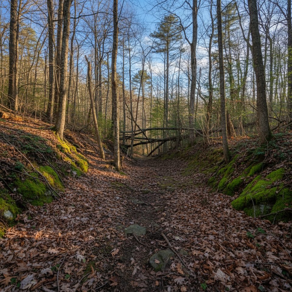
Place · 3.1 mi away
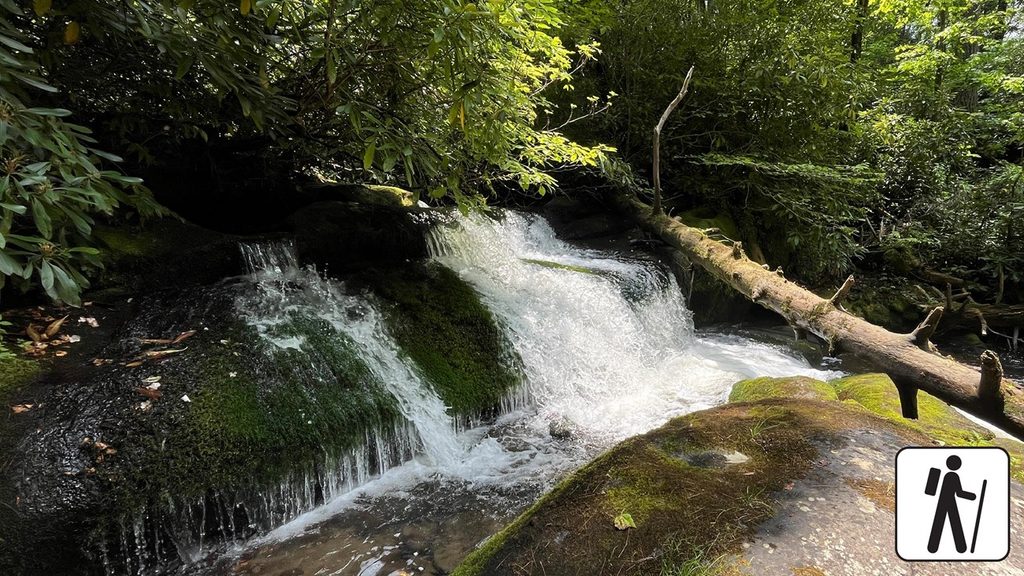
Moderate · 2.2 mi away
Challenging · 2.2 mi away
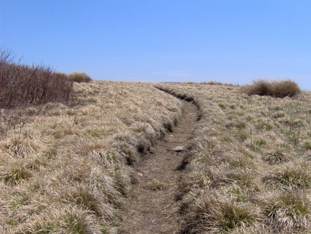
Challenging · 3.7 mi away
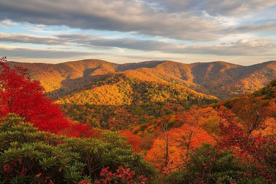
Challenging · 6 mi away

Parkwolf Tour Guide
