Place · 1.2 mi away
Challenging

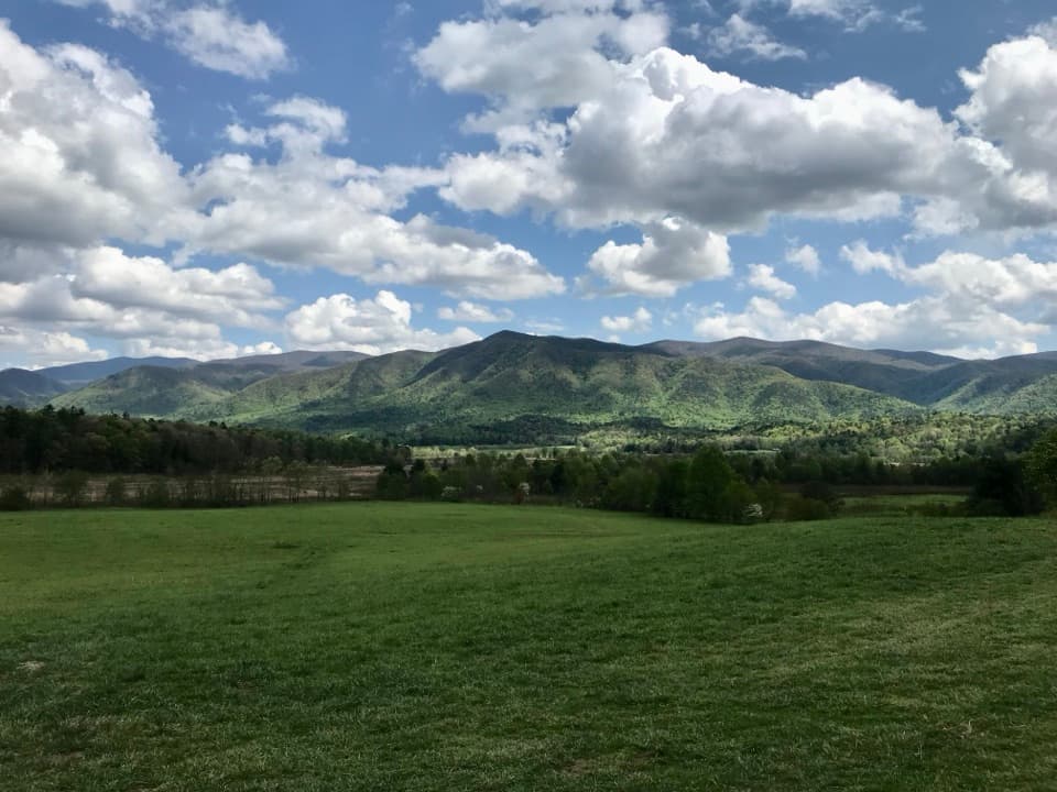
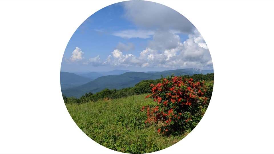
This is a big, rewarding Smokies climb: about 11.1 miles total (out-and-back) with roughly 3,000 feet of gain to the wide-open meadows of Gregory Bald. Expect a mostly shaded forest approach, then long, sustained uphill that pays off with a 10‑acre grassy bald and far-ranging views of Cades Cove, Rich Mountain, the Yellow Creek Mountains, Fontana Lake, and—on clear days—Shuckstack, Kuwohi, and Thunderhead. It’s strenuous, spectacular, and one of the park’s bucket‑list hikes when the azaleas peak.
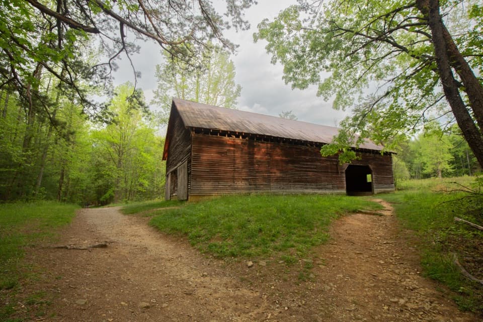
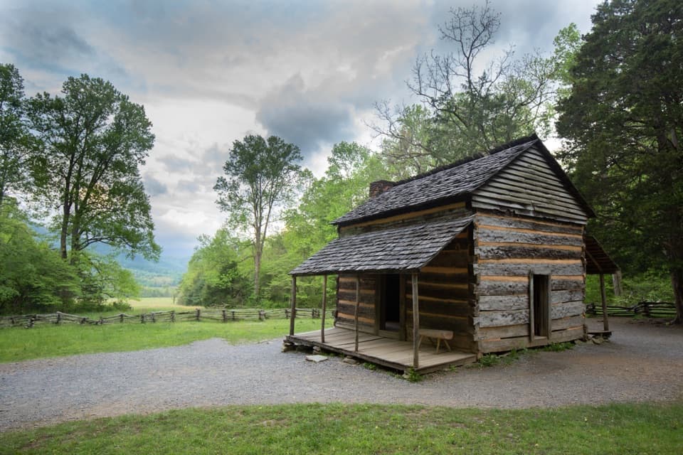
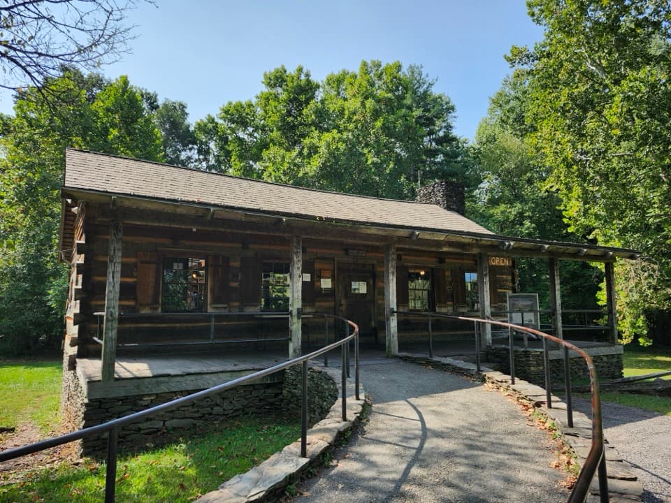
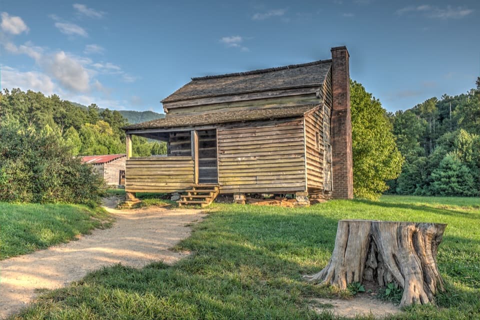
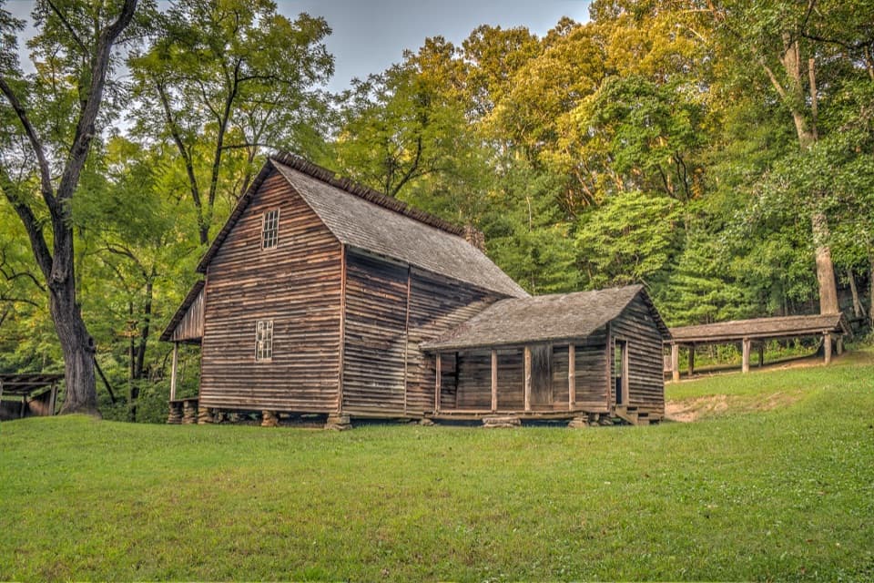
Start at the end of Forge Creek Road off Cades Cove Loop Road near the Cable Mill area. Parking is a small circular pull‑off with limited spaces, plus some shoulder parking; it fills quickly during bloom season, so arrive early. Cades Cove’s loop traffic and occasional morning vehicle closures can add real time to your day—plan your drive window carefully and avoid cutting it close at dusk.
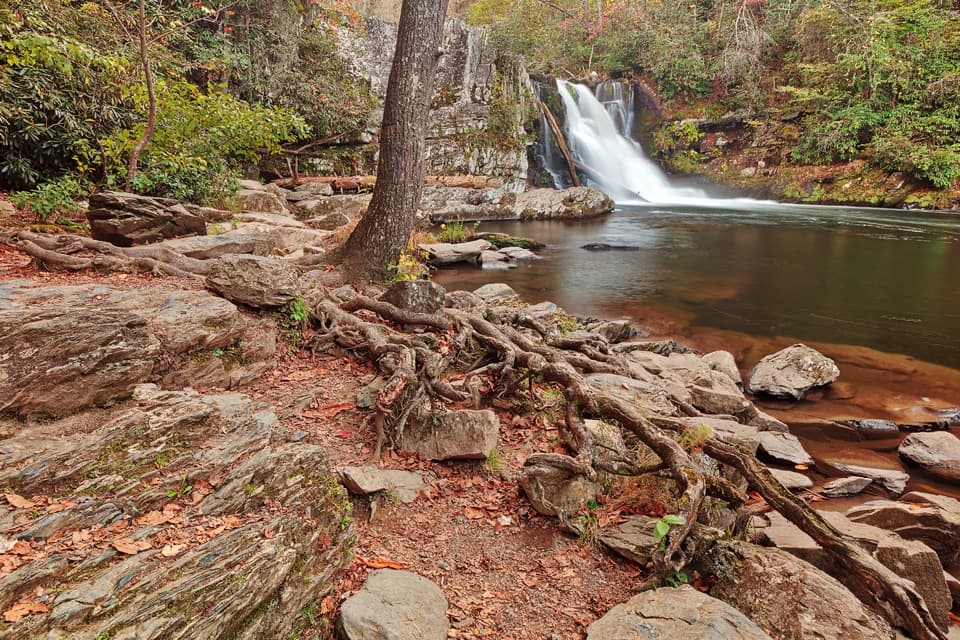
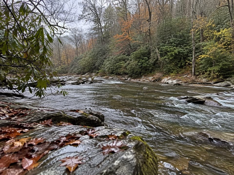
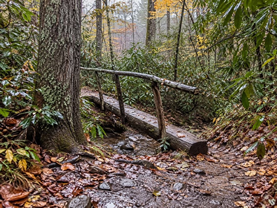
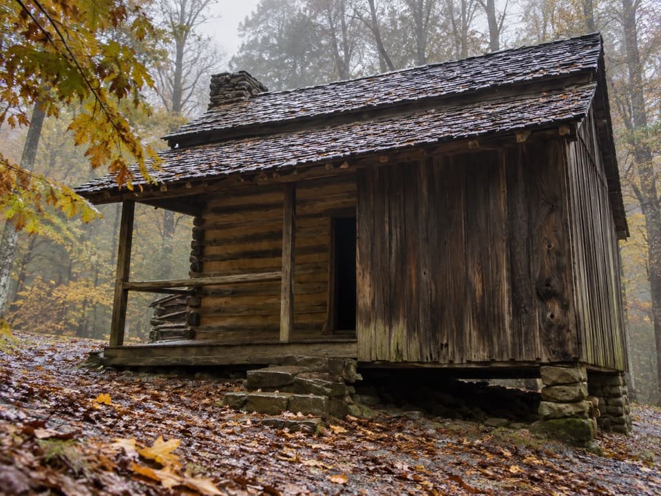
The first mile is a mellow walk along Forge Creek with several footlog crossings—easy walking and a nice warm‑up. Around 1.9–2.0 miles you pass Backcountry Campsite 12. From there, the character changes: the trail ramps into a sustained climb, gaining roughly 2,000 feet over the next ~3 miles with few breathers. You’ll hike through classic Smokies forest with pockets of old-growth and occasional openings. Around 4.9 miles you reach Rich Gap and the junction with the Gregory Bald Trail—turn right for a final, sharper push before the grade eases onto the bald itself.
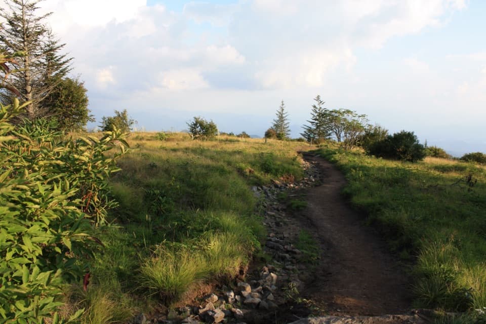
Gregory Bald is one of the park’s maintained grassy balds—wide sky, wind in the grass, and blueberries in season. It’s a perfect place to wander and pick a perch for lunch and views before heading back the way you came.
Mid to late June is prime time: the flame azaleas atop the bald burst into a riot of colors, and the scene is justifiably famous (and popular). August brings ripening blueberries—and heightened bear activity. Outside those windows, you still get big views and quieter crowds. Start early for parking, cooler temps, and better lighting; afternoon storms are common in warm months.
Creek levels can rise after heavy rain, and some sections can be muddy or slick. Bears are commonly reported in this area—especially during blueberry season—so give wildlife space and secure your food. Gates and schedules on the Cades Cove loop and access roads can change; finish well before dark and check current park alerts before you go.
Small circular lot at the end of Forge Creek Road off Cades Cove Loop; limited spaces with some shoulder parking—arrive early, especially during azalea bloom. Expect loop traffic and occasional morning vehicle closures; build extra time into your drive.
Sustained steep grades for miles, possible high water after heavy rain, active bears near the bald (especially during blueberry season), and variable Cades Cove gate schedules—plan to finish before dark.