Challenging

Gregory Bald Trail

Shorter, steeper path to azalea-famous summit meadow views
Gregory Bald Trail, Great Smoky Mountains National Park
Distance9 mi
Typical time5.5 hr
DifficultyChallenging
PetsNot allowed

Overview

Gregory Bald Trail is the more direct footpath to one of the Smokies’ classic grassy balds, topping out around 4,949 feet. It runs roughly 9.0 miles round trip (out-and-back) with a steady, often strenuous climb that pays off in a broad summit meadow of big views and rare wild shrubs. Expect a real workout and a backcountry feel.

Route and what to expect

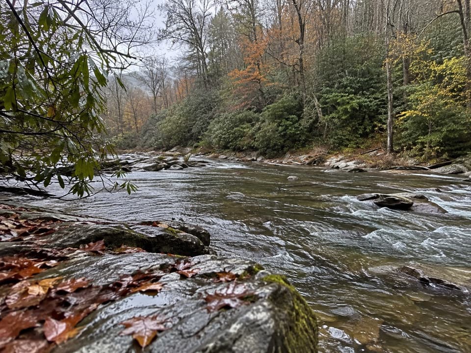
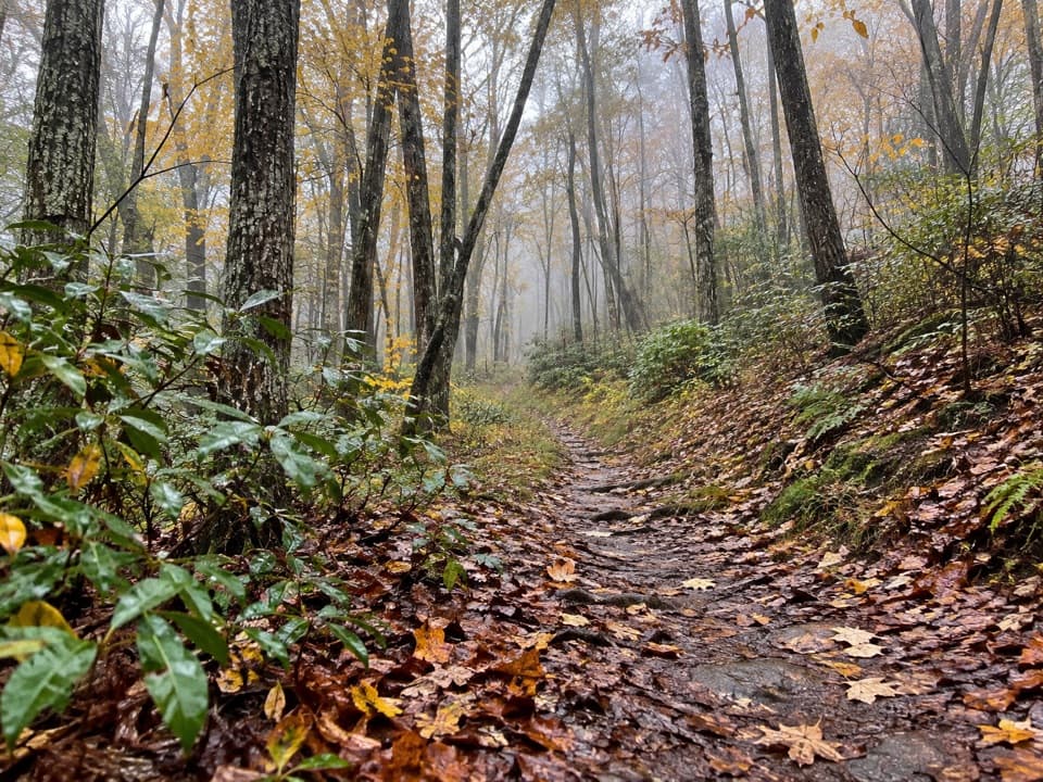
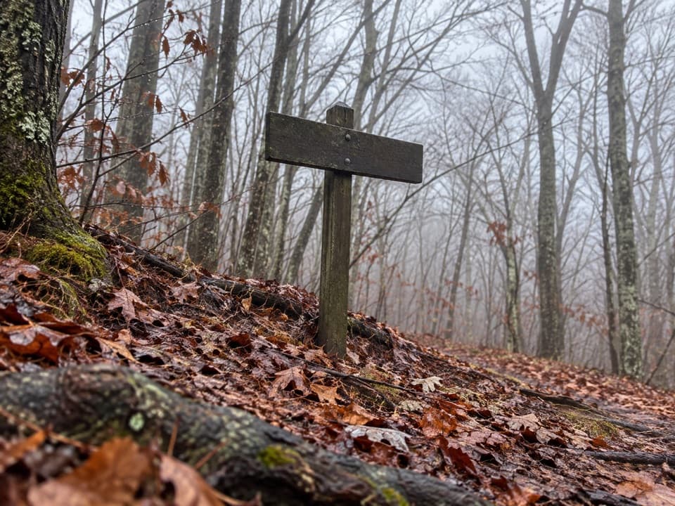
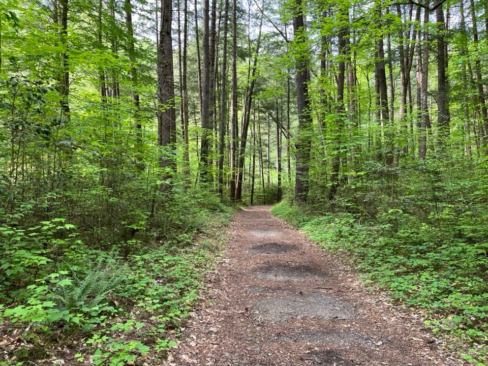
From the trailhead, the first mile eases you in before the grade settles into a sustained climb for over three miles. Around 4.1 miles you’ll reach Sheep Pen Gap (Backcountry Campsite 13); Gregory Bald sits about a third of a mile beyond. Underfoot you’ll find typical Smokies tread—rooty, occasionally muddy stretches—plus footlog creek crossings and shady forest that includes old-growth hemlocks in places. The summit meadow is a park-maintained grassy bald; without periodic work it would revert to forest.

Scenery and seasonal highlights

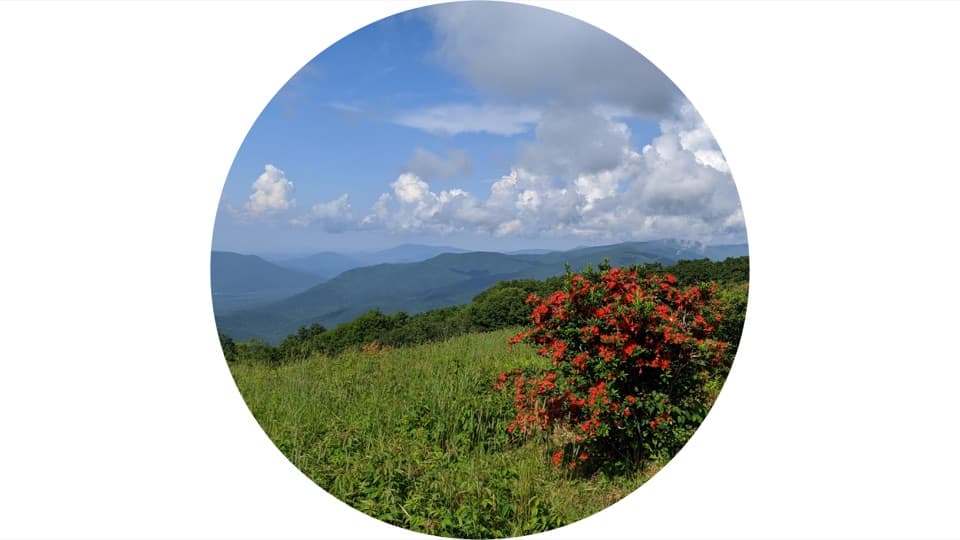
The headline act is the flame azalea display, which typically peaks mid to late June. Colors can range from fire red and wine red to orange, salmon, yellow, white, pink, and wild multicolored blooms. In August, wild blueberries ripen across the bald—beautiful, but also a magnet for black bears. Clear days deliver sweeping views toward Cades Cove, Rich Mountain, Fontana Lake, Thunderhead Mountain, and Clingmans Dome. Keep an eye out for sandstone outcrops—this bald sits on ancient Smokies bedrock.

Logistics and access

This approach starts from Parson Branch Road, a one-way gravel road off the Cades Cove Loop. That makes it the shorter hiking route but a bigger driving commitment, and the road is often closed—always check status before you go. If Parson Branch isn’t an option, the longer Gregory Ridge Trail from Forge Creek in Cades Cove is the common alternative to the same summit. Backcountry camping is available near the bald at Campsite 13 with a park permit.

Best times to hike

For azaleas, target mid–late June and arrive very early to beat crowds and Cades Cove traffic. August brings blueberries (and bears); mornings are cooler and typically less buggy after rains. Shoulder seasons can be wonderful for views with fewer people—just be ready for a chill on the open summit.

Tips and ethics

This is a strenuous outing—bring plenty of water and electrolytes, trekking poles for the long grades, and bug repellent after wet spells. Expect some overgrown or muddy sections. Be bear-aware, especially during blueberry season; give wildlife space and secure all food. Pets aren’t allowed on this trail. Stay on durable surfaces and don’t trample or pick flowers; the azaleas here are both fragile and historically significant.

Pros

  • Peak-season flame azaleas with rare color diversity in one meadow
  • Shorter approach to the bald than the Gregory Ridge route when the road is open

Cons

  • Access depends on one-way Parson Branch Road, which is often closed
  • Black bears are frequent during blueberry season at the summit

Parking

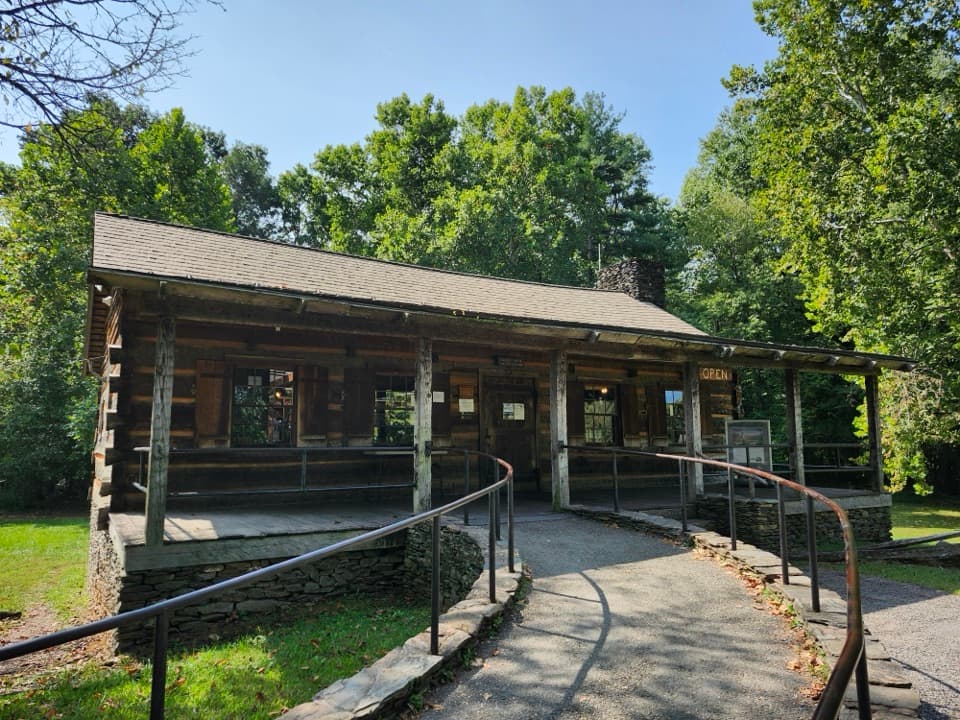
Access from the Cades Cove Loop via one-way Parson Branch Road; park at the trailhead along the gravel road. If Parson Branch is closed, use the Gregory Ridge Trailhead on Forge Creek Road as the alternative approach to the same summit.

Caution

Steep, sustained climbing with overgrown and muddy stretches; one-way road logistics; heavy bear activity during blueberry season; no dogs allowed.

The Parkwolf tour guide sitting on a phone mounted in a car

Parkwolf Tour Guide

Like a tour guide in your car.

Bring Great Smoky Mountains trail research into the car, with offline maps and stories that play as you drive.Download Parkwolf on the App Store