Twentymile Cascade in Great Smoky Mountains National Park

Sight · Great Smoky Mountains National Park

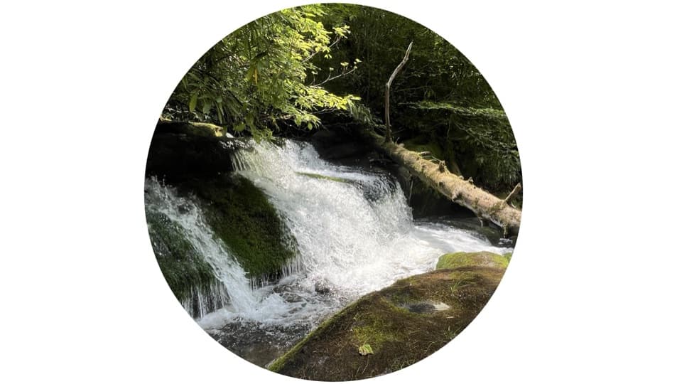
Twentymile Cascade

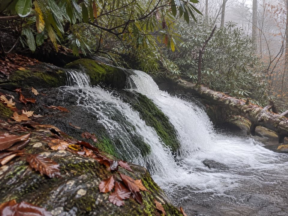
A short creekside walk to a 22-foot sandstone cascade.

Photo: National Park Service
Type
Sight
Nearest trail
0.5 mi
Audio stories
1 nearby
  • Trailhead
  • Parking
  • Scenic viewpoint

Hear the audio tour

Twentymile Trailhead and Cascade

Overview

About Twentymile Cascade

Why stop

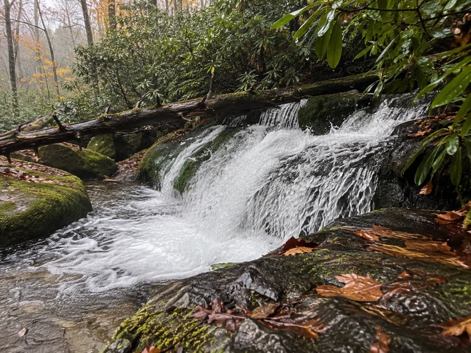
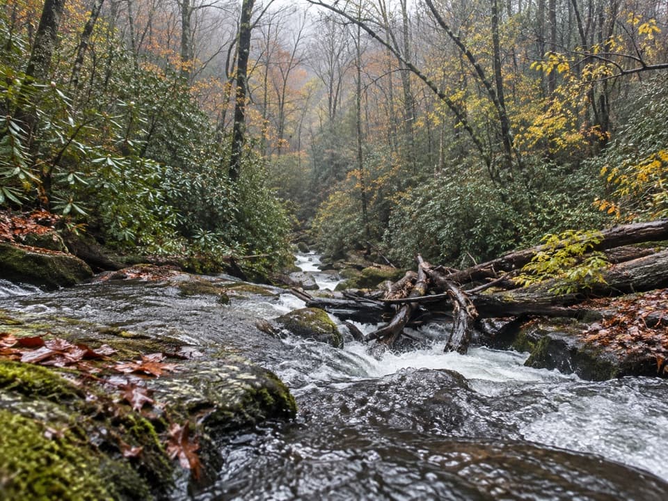
  • Mossy ledges and a boulder-filled creekbed give the small falls texture.

Heads up

  • A modest cascade for roughly 1¼ miles of walking.

Map

Where it is

Loading the Great Smoky Mountains map
Full map
SightTwentymile Cascade35.47085, -83.86962
Keep this map with you offline in the Parkwolf app

Plan your stop

Before you go

7 active Great Smoky Mountains alerts

  • ClosureHurricane Helene backcountry trail closures and hazardsHurricane Helene damage has closed backcountry trails and left hazardous crossings; avoid closed routes and heed trail-specific restrictions.Official details
  • CautionBear-related trail, road, shelter, and campsite restrictionsBear activity has closed trails, a shelter, and campsites and restricted pedestrian access on Cherokee Orchard Road; follow the vehicle restrictions and avoid closed areas.Official details

See all 7 alerts
A park ranger sits on a dash-mounted phone, talking, as Parkwolf’s Tour Guide plays “Army Cutworm Moths: A Grizzly Bear Buffet” on Grand Loop Road below Dunraven Pass in Yellowstone
Parkwolf Tour GuideThe highest, rockiest slopes around here are a summer buffet for grizzly bears.

Great Smoky Mountains Tour Guide

Your drive to Twentymile Cascade, narrated.

Parkwolf is a GPS audio tour guide for Great Smoky Mountains National Park. As you drive, it chimes in with what’s ahead: hidden gems, upcoming stops, history, geology, and wildlife, right through your car’s speakers.

See the Great Smoky Mountains audio tour

Recorded for this place

Twentymile Trailhead and Cascade
0:00 / 0:27
“You're nearing Twentymile trailhead, where a short creekside hike leads to Twentymile Cascade. Allow about forty-five minutes for roughly a mile and a quarter there and back, mostly on a broad gravel roadbed.”

Plays as you drive up to Twentymile Cascade in the Parkwolf Great Smoky Mountains Tour Guide.

More stories near here in the app

  • Shuckstack Fire Tower Trailhead
  • Fontana Dam
  • 188 audio storiesacross Great Smoky Mountains’s roads, triggered by GPS as you drive
  • Wildlife heatmapsfor Black Bear, Elk, Bald Eagle, and 13 more
  • Works offlinemaps, 197 trails, 100 places, and audio download before you lose signal
  • CarPlay readysimple controls built for the drive
★★★★★
“Fantastic app with many points of information… It’s great to just turn on while you’re driving and it gives you an audio tour of the national Park. We love it!!!!”
JMJamesApp Store review
Download Parkwolf on the App StoreGet Parkwolf on Google Play

4.7 from 8,600+ ratings

Guide

More about Twentymile Cascade

A small waterfall in a remote cornerTwentymile Cascade is a 22-foot waterfall on Twentymile Creek in the park’s remote southwestern…

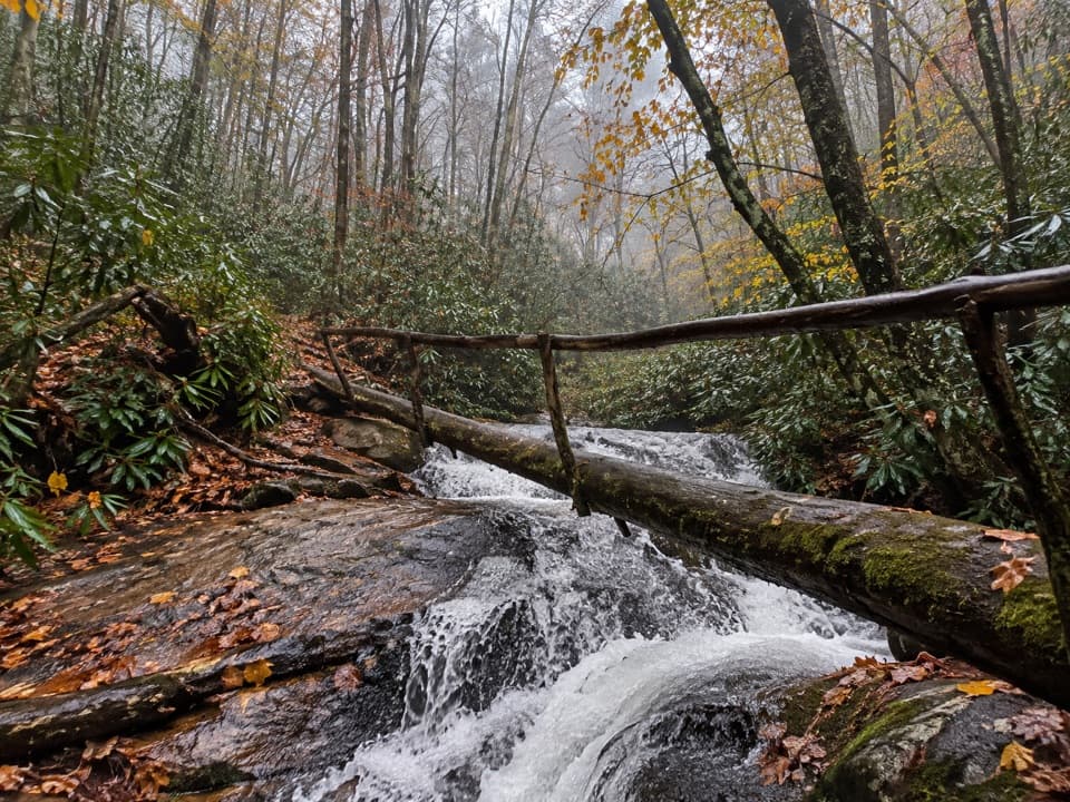
Twentymile Cascade is a 22-foot waterfall on Twentymile Creek in the park’s remote southwestern Fontana area. Water slides down slanting, mossy sandstone ledges into a boulder-filled creekbed. It’s a modest stop for anyone who likes watching a creek rather than expecting a dramatic plunge beside the road.

The short walk inPark in one of the two areas near Twentymile Ranger Station on NC 28.

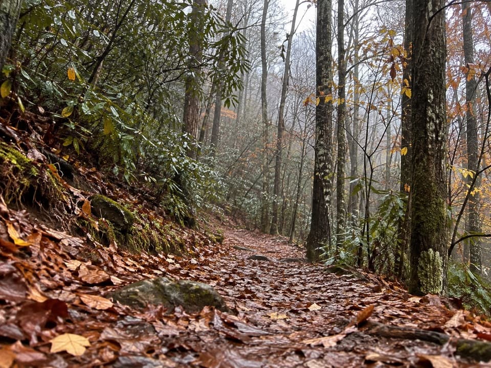
Park in one of the two areas near Twentymile Ranger Station on NC 28. The falls are reached on a broad gravel roadbed beside a mountain stream, then a short footpath. Plan on about 1¼ miles round trip. Occasional roots and rocks break up the smoother approach. A parking tag is required if your stop runs longer than 15 minutes. The nearest restrooms are near Deep Creek or outside the park, so make that stop before driving into this corner. Pets aren’t allowed on this trail.

Watch the ledgesThe water spreads across tilted shelves instead of dropping in one clean sheet; moss darkens…

The water spreads across tilted shelves instead of dropping in one clean sheet; moss darkens the sandstone, and boulders fill the creekbed below. For a photo, keep some ledges and the creek below the white water in frame so the stepped shape reads. At the junction, hikers can continue on Wolf Ridge toward the 7.6-mile Twentymile Loop; farther on, the trail gets narrower, muddier, and rockier.

Wildlife

Wildlife in Great Smoky Mountains

All Great Smoky Mountains wildlife maps

Sighting maps show where each species has been reported across Great Smoky Mountains. Wildlife moves, so no sighting is guaranteed.

Parkwolf’s Great Smoky Mountains ranking

Top sights in Great Smoky Mountains

All 100 places
  1. 1Kuwohi Observation TowerSight
  2. 2Newfound Gap OverlookSight
  3. 3Cable Mill Historic AreaSight
  4. 4Mountain Farm MuseumSight
  5. 5John Oliver CabinSight
  6. 6Mingus MillSight

Take Parkwolf to Great Smoky Mountains.

The audio tour guide for the drive, plus offline maps, trails, and wildlife heatmaps for when the signal drops.

4.7 from 8,600+ ratings

Download Parkwolf on the App StoreGet Parkwolf on Google Play