Appalachian Trail in Great Smoky Mountains National Park

#19 of 197 trails in Great Smoky Mountains

Great Smoky Mountains National Park, TN · NC

Appalachian Trail

A week on the high ridge, with spruce-fir and rocky overlooks.

Photo: Public Domain
Length
71.1mi
Time
2days
Elev. change
4,895ft
Difficulty
Challenging
  • No dogs
  • High point 6,555 ft

Hear the audio tour

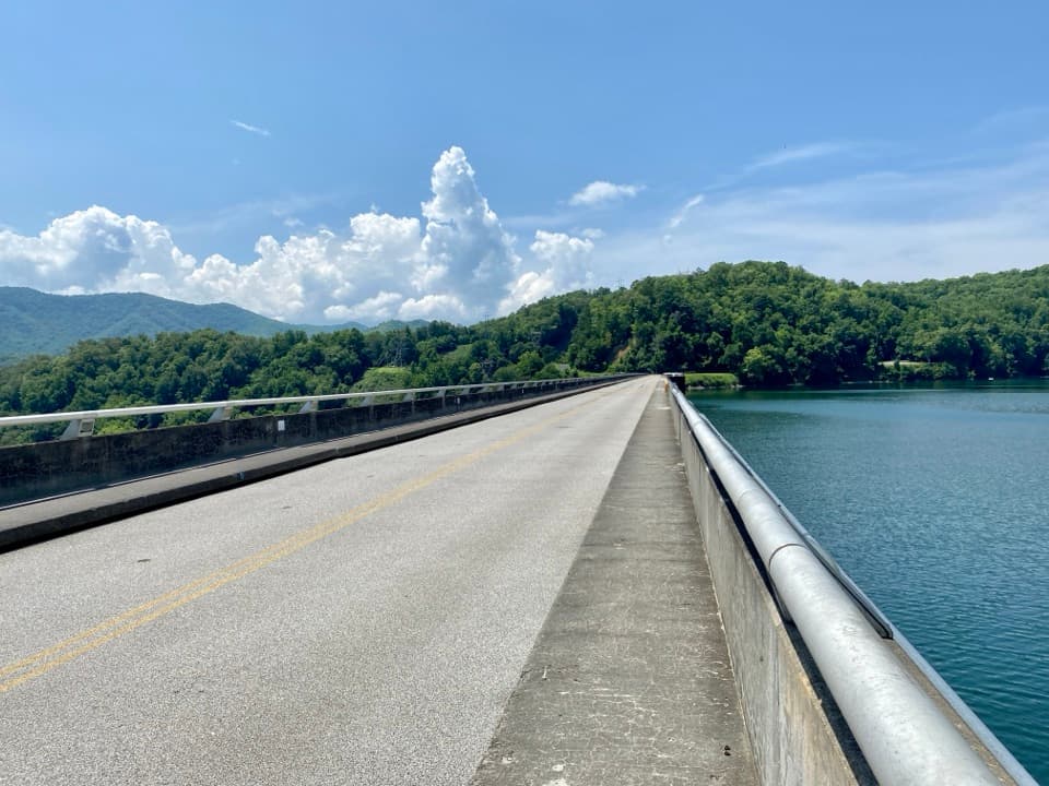
Fontana Dam

Overview

About Appalachian Trail

Why go

  • A long ridge crossing links Rocky Top, Kuwohi, and Charlie’s Bunion.
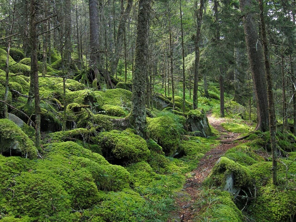
  • The route moves from open balds into rare high-elevation spruce-fir forest.

Heads up

  • Repeated steep climbs add up to roughly 20,000 feet of ascent.
  • Shuttle logistics and reserved overnights take advance planning.
The Appalachian Trail through Great Smoky Mountains National Park is a 71.1-mile, one-way point-to-point backpacking route from the southern park-side approach near Fontana Dam to Davenport Gap. This is a week-long commitment, not a long day: most section hikers allow seven or eight days. Expect around 20,000 feet of cumulative climbing over repeated ascents and descents, with much of the route following the Tennessee–North Carolina crest. The 71.1-mile figure follows the park’s official trail line; other published totals vary, and side trips from Kuwohi or Shuckstack add distance. For a shorter taste, the park’s 8-mile round trip from Newfound Gap reaches Charlie’s Bunion on the same corridor.
Parkwolf’s verdictIs this the hike for you?

Map & elevation

The route

Loading the Great Smoky Mountains map
Full map
Elevation1,660–6,555 ft
TrailheadAppalachian Trail southern park entrance near Fontana Dam35.45260, -83.80575
Keep this map with you offline in the Parkwolf app

Plan your hike

Before you go

Parking

Point-to-point: arrange a second vehicle or shuttle between Fontana Dam and Davenport Gap. The Fontana side has a gravel lot; Davenport Gap has a small roadside pull-off. Big Creek Campground is another north-end access option, but can add one or two miles on foot. Newfound Gap is a larger mid-route parking area for shorter sections.

Safety

Expect a week of repeated steep climbing along exposed high ridges, with long gaps between road resupply. Every overnight requires a backcountry permit and advance reservation; shelter itineraries require sleeping inside the reserved shelter, except an Appalachian Trail Thru-Hiker Permit holder may tent outside when it is full. Pets are prohibited except service animals.

7 active Great Smoky Mountains alerts

  • ClosureHurricane Helene backcountry trail closures and hazardsHurricane Helene damage has closed backcountry trails and left hazardous crossings; avoid closed routes and heed trail-specific restrictions.Official details
  • CautionBear-related trail, road, shelter, and campsite restrictionsBear activity has closed trails, a shelter, and campsites and restricted pedestrian access on Cherokee Orchard Road; follow the vehicle restrictions and avoid closed areas.Official details
See all 7 alerts
A park ranger sits on a dash-mounted phone, talking, as Parkwolf’s Tour Guide plays “Army Cutworm Moths: A Grizzly Bear Buffet” on Grand Loop Road below Dunraven Pass in Yellowstone
Parkwolf Tour GuideThe highest, rockiest slopes around here are a summer buffet for grizzly bears.

Great Smoky Mountains Tour Guide

Your drive to Appalachian Trail, narrated.

Parkwolf is a GPS audio tour guide for Great Smoky Mountains National Park. As you drive, it chimes in with what’s ahead: hidden gems, upcoming stops, history, geology, and wildlife, right through your car’s speakers.

See the Great Smoky Mountains audio tour

Recorded for this trailhead

Fontana Dam
0:00 / 0:30
“You're coming up on Fontana Dam, a concrete wall four hundred and eighty feet high holding back Fontana Lake.”

Plays as you drive up to this trailhead in the Parkwolf Great Smoky Mountains Tour Guide.

More stories near here in the app

  • Shuckstack Fire Tower Trailhead
  • Twentymile Trailhead and Cascade
  • 188 audio storiesacross Great Smoky Mountains’s roads, triggered by GPS as you drive
  • Wildlife heatmapsfor Black Bear, Elk, Bald Eagle, and 13 more
  • Works offlinemaps, 197 trails, 100 places, and audio download before you lose signal
  • CarPlay readysimple controls built for the drive
★★★★★
“Fantastic app with many points of information… It’s great to just turn on while you’re driving and it gives you an audio tour of the national Park. We love it!!!!”
JMJamesApp Store review
Download Parkwolf on the App StoreGet Parkwolf on Google Play

4.7 from 8,600+ ratings

Trail guide

Hiking Appalachian Trail

Sort out access and overnightsThis route does not loop back to its start.

This route does not loop back to its start. Leave a second car or arrange a shuttle: the Fontana Dam side has a gravel lot, while Davenport Gap’s roadside pull-off is small. The Big Creek Campground area is another way to reach the north end, but walking from it can add one or two miles depending on where you park. Newfound Gap is the main middle road crossing and the most useful place to split the trip or arrange a resupply by shuttle. It is not a store on the trail, so carry food for the days between town visits; the road can close in winter weather or high winds. The park requires a backcountry permit and advance reservation for every overnight. Hikers with a shelter reservation must sleep inside; only holders of an Appalachian Trail Thru-Hiker Permit may tent outside when the shelter is full. Pets are not allowed on this trail, apart from service animals.

Climb out from FontanaNorthbound, the trail starts climbing early from the southern approach. About 3.

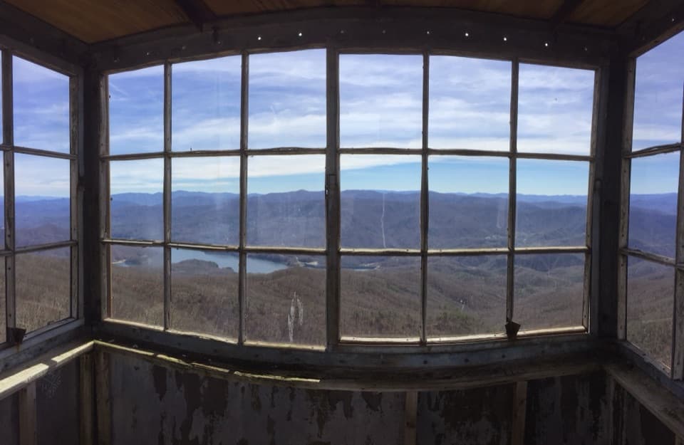
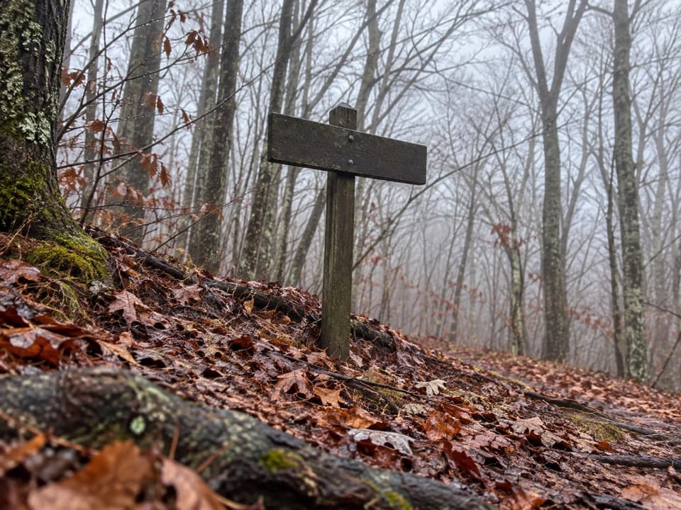
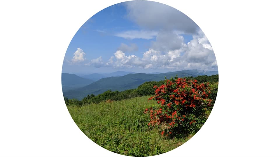
Northbound, the trail starts climbing early from the southern approach. About 3.5 miles in, a separate spur leads to Shuckstack Fire Tower. The extra climb reaches an old metal tower with a view back toward Fontana Lake; the main AT continues past the junction. Farther on, the tread crosses rocky hillside and forested ridge, with open balds breaking the canopy. Rocky Top, at 5,441 feet, is a good pause for views south to the lake. White blazes mark the through route where it meets connecting trails, so check junctions before following a side path.

Enter the high spruce-fir forestNorth of Silers Bald Shelter, the AT enters Southern Appalachian spruce-fir forest, a rare and…

North of Silers Bald Shelter, the AT enters Southern Appalachian spruce-fir forest, a rare and endangered eastern ecosystem. Red spruce and Fraser fir rise above the hardwood slopes; the habitat also supports distinctive lichens and plants, golden-crowned kinglets, and hermit thrushes. The high country continues toward Kuwohi, the park’s 6,643-foot summit. The AT passes through the area, while a separate paved walk climbs to the observation tower. That tower spur is not part of the 71.1-mile route line.

Use Newfound Gap for a resetNewfound Gap crosses US 441 and gives the long route a practical road access point.

Newfound Gap crosses US 441 and gives the long route a practical road access point. The ridge walking continues on the north side, but this is where a shuttle can divide the park crossing into two sections. The Appalachian Trail from Newfound Gap toward Charlie’s Bunion is also one of the park’s strongest day hikes: the 8-mile round trip passes through spruce-fir forest to a rocky outcrop ringed by steep cliffs. On a full crossing, the outcrop is a worthwhile short detour from the main AT. Take the photo from along the trail, framing the rock with layered ridges behind it.

Finish north at Davenport GapBeyond Newfound Gap, the trail keeps to the high ridge through shelter country, including…

Beyond Newfound Gap, the trail keeps to the high ridge through shelter country, including Icewater Spring and Cosby Knob, then descends through forest toward Davenport Gap. Shelter stops vary in spacing, so reserve each night around the mileage you can comfortably cover rather than assuming an even daily distance. Long stretches between road access make food planning part of the route, and the ridge can be much colder and windier than the low-elevation endpoints. Check current backcountry notices before setting out, especially if your itinerary depends on one shelter.

Wildlife

Wildlife in Great Smoky Mountains

All Great Smoky Mountains wildlife maps

Sighting maps show where each species has been reported across Great Smoky Mountains. Wildlife moves, so no sighting is guaranteed.

Keep exploring

Near Appalachian Trail

See it all on the map

Trails that start nearby

Places near the trailhead

Parkwolf’s Great Smoky Mountains ranking

Top-rated trails in Great Smoky Mountains

All 197 trails
  1. 1Mount Le Conte via Alum Cave TrailChallenging · 10 mi
  2. 2Charlies Bunion via Appalachian TrailModerate · 8 mi
  3. 3Alum Cave Trail to Alum Cave BluffsModerate · 4.6 mi
  4. 4Ramsey Cascades TrailChallenging · 8 mi
  5. 5Mount Cammerer TrailChallenging · 11.1 mi
  6. 6Gregory Ridge TrailChallenging · 11.4 mi

Take Parkwolf to Great Smoky Mountains.

The audio tour guide for the drive, plus offline maps, trails, and wildlife heatmaps for when the signal drops.

4.7 from 8,600+ ratings

Download Parkwolf on the App StoreGet Parkwolf on Google Play