Parking
Start at the Newfound Gap parking area and cross US 441 to the Appalachian Trail trailhead. A valid park parking tag is required for parking longer than 15 minutes.
Great Smoky Mountains National Park, TN · NC
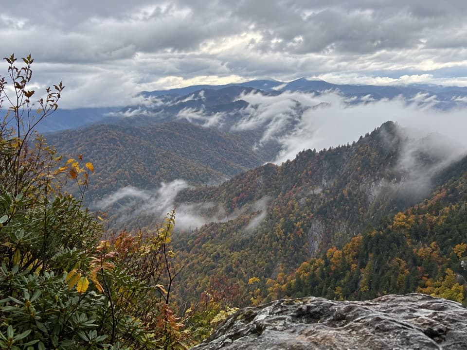
Climb a rough AT approach to a cliffside Smokies panorama
Overview
Map & elevation
Plan your hike

The highest, rockiest slopes around here are a summer buffet for grizzly bears.
Great Smoky Mountains Tour Guide
Parkwolf is a GPS audio tour guide for Great Smoky Mountains National Park. As you drive, it chimes in with what’s ahead: hidden gems, upcoming stops, history, geology, and wildlife, right through your car’s speakers.
See the Great Smoky Mountains audio tourRecorded for this trailhead
Newfound Gap and the Rockefeller Memorial“Newfound Gap is coming up, where the road crosses the Tennessee and North Carolina state line. This is a good stop for mountain views without a hike.”
Plays as you drive up to this trailhead in the Parkwolf Great Smoky Mountains Tour Guide.
More stories near here in the app
“Fantastic app with many points of information… It’s great to just turn on while you’re driving and it gives you an audio tour of the national Park. We love it!!!!”


Trail guide
The Jump Off is a marked, rough spur to a cliffside viewpoint on Mount Kephart, reached from Newfound Gap by the Appalachian Trail and a short Boulevard Trail connector. Allow about 6.5 miles round trip, roughly 1,275 feet of ascent, and around four hours. Follow the AT east for about 2.7 miles, turn left on Boulevard for about a tenth of a mile, then take the signed spur on the right for about half a mile to the overlook. Retrace the same route. The hike suits people comfortable with a sustained climb and rough footing; the wide mountain view is the payoff.
The approach rises steadily over rocky tread threaded with roots; the first two miles do most of the climbing. Brief openings look south into the North Carolina Smokies, then toward Mount Le Conte before the Sweat Heifer Creek Trail junction. This section also carries hikers bound for Charlie’s Bunion, so the first part is a shared Appalachian Trail approach rather than a secluded walk.
At the Boulevard junction, turn left and watch for the Jump Off sign on the right after about 0.1 mile. The spur is rough and obstructed. It crosses high ground, descends, then opens at a flatter stretch with a view toward the thin Boulevard ridge and Brushy Mountain. The end is a steep cliffside overlook, so keep well back from the drop. The spur is signed but is not identified as an official National Park Service trail; its maintenance responsibility is unclear. Follow current park closure signs.
From the overlook, Charlie’s Bunion sits across the mountain gulf, with the jagged Sawteeth and higher peaks such as Old Black, Mount Chapman and Mount Guyot beyond. Frame Charlie’s Bunion with the distant ridges for the clearest sense of the view.
Start at the Newfound Gap parking area and cross US 441 to the Appalachian Trail trailhead. A valid park parking tag is required when a vehicle is parked longer than 15 minutes. Dogs are allowed on only two park trails, neither of which is part of this route.
Wildlife
 1,569 sightingsBlack BearMost seen around 7 PMSighting map
 900 sightingsElkMost seen around 7 AMSighting map
 13 sightingsBald EagleMost seen around 9 AMSighting map
 142 sightingsTimber RattlesnakeMost seen around 6 PMSighting map
 26 sightingsBobcatMost seen around 8 PMSighting map
 42 sightingsRiver OtterMost seen around 7 AMSighting map
Sighting maps show where each species has been reported across Great Smoky Mountains. Wildlife moves, so no sighting is guaranteed.
Keep exploring
 ModerateCharlies Bunion via Appalachian Trail8 mi · 5 hr · At the trailheadAn 8-mile Appalachian Trail out-and-back to an exposed Smokies outcrop
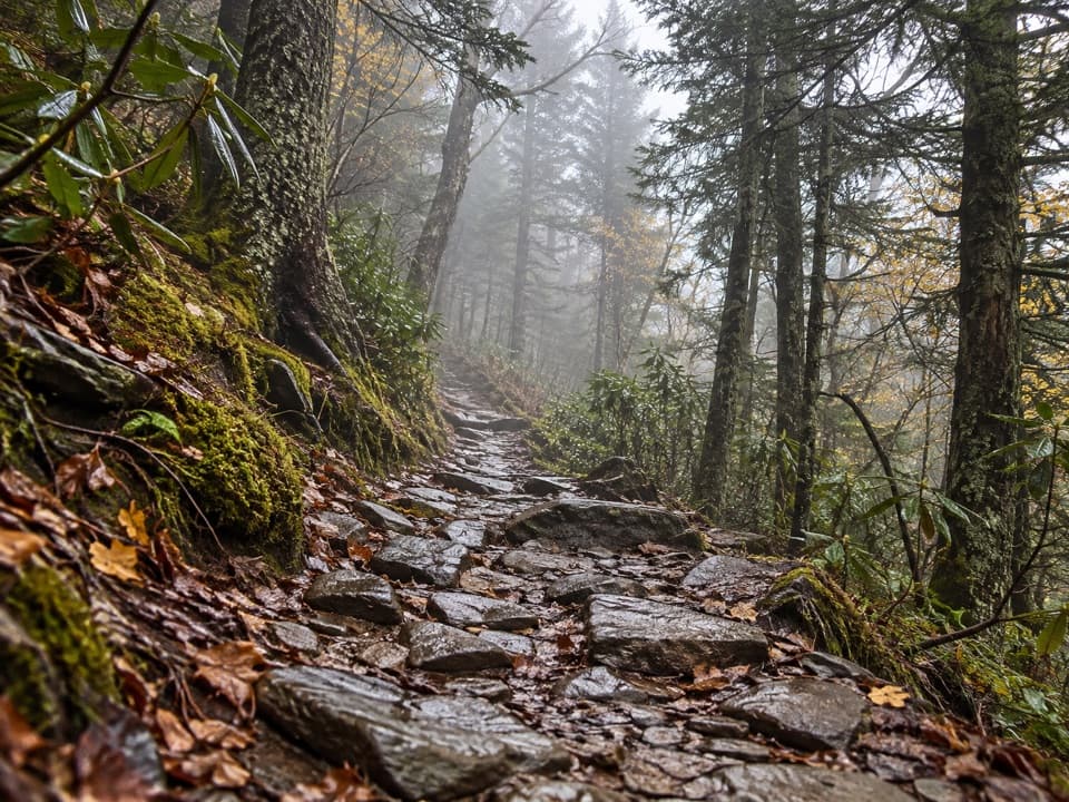 ChallengingMount Le Conte via Appalachian Trail and Boulevard Trail16.2 mi · 10 hr · At the trailheadA demanding ridge traverse to Le Conte via the Appalachian Trail.
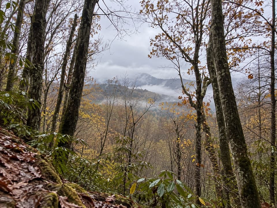 ModerateOld Deep Creek Quiet Walkway0.1 mi · 15 min · 0.6 mi awayA signed, steep forest path drops from Newfound Gap Road.
 ChallengingDeep Creek Trail14.3 mi · 8 hr · 0.8 mi awayA long one-way descent from Newfound Gap Road to Deep Creek.
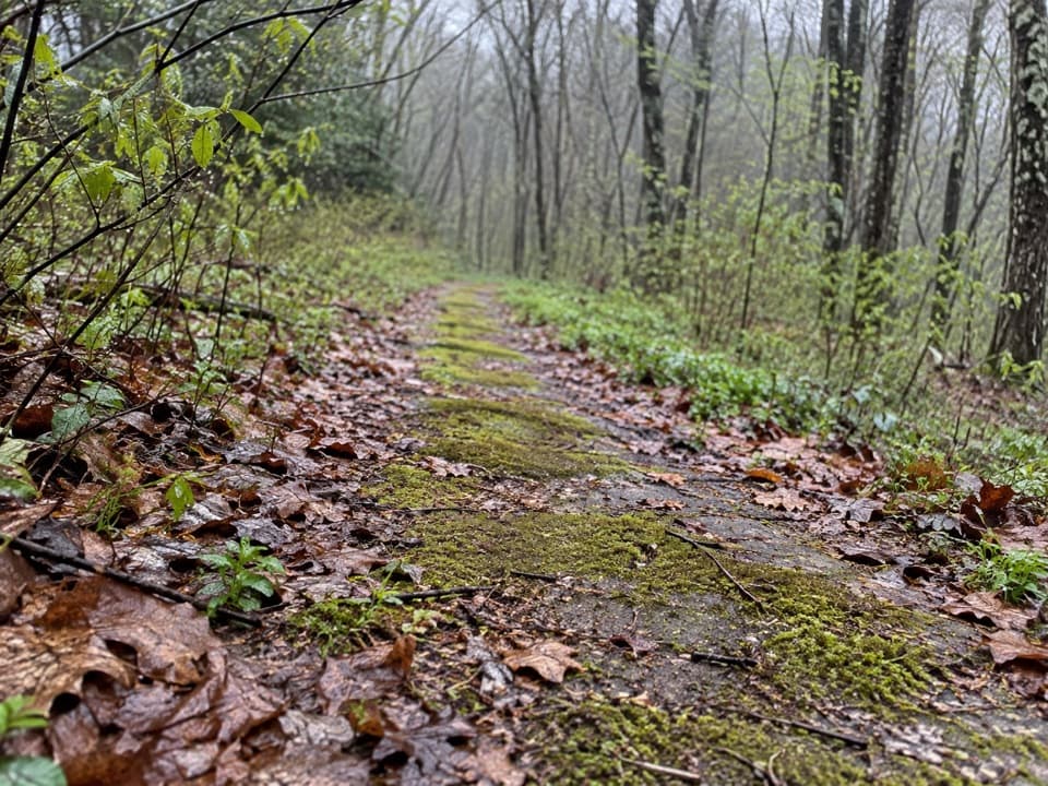 EasyBeech Flats Quiet Walkway1 mi · 45 min · 1.1 mi awayWalk a mossy old roadbed into the cool woods.
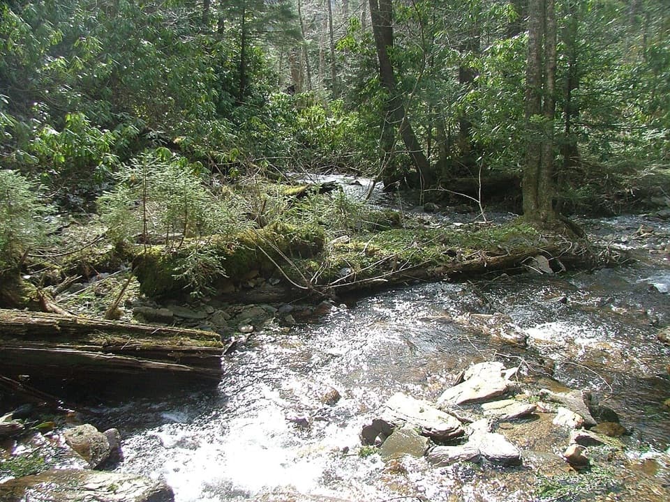 ChallengingRoad Prong Trail2.4 mi · 2 hr · 1.2 mi awayA rocky creek walk on the old Oconaluftee Turnpike
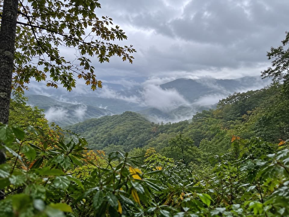 EasySwinging Bridge Quiet Walkway1 mi · 36 min · 1.2 mi awayA quiet ridge walk with a steady climb back to US 441.
 ChallengingMount Le Conte via Alum Cave Trail10 mi · 7 hr · 1.9 mi awayA creekside climb through rock passages to high mountain views.
 Sight · 0.1 mi awayNewfound Gap OverlookA 5,046-foot pass, a state line, and a historic terrace.
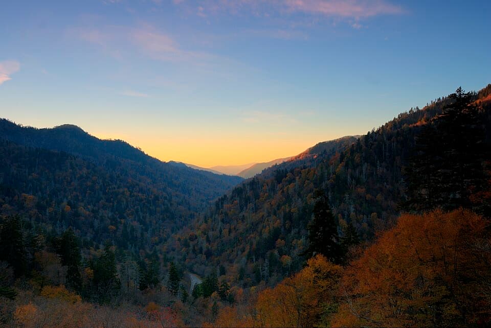 Sight · 0.4 mi awayBen Morton OverlookA west-facing Smokies overlook with a seasonal sunset alignment.
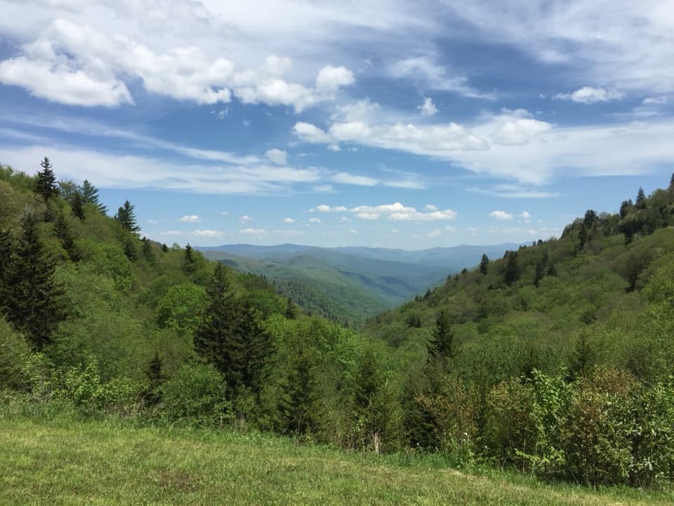 Scenic pullout · 0.7 mi awayLuftee OverlookA quick roadside pause for layered ridges and sunrise.
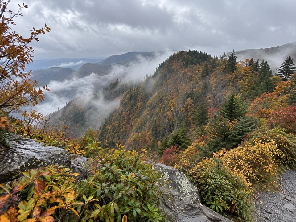 Scenic pullout · 0.9 mi awayDeep Creek Valley OverlookA roadside viewpoint over Deep Creek Valley
 Scenic pullout · 1.4 mi awaySwinging Bridges South OverlookLayered ridgelines from a short roadside pull-off.
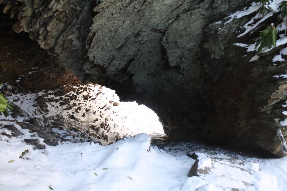 Sight · 1.9 mi awayArch RockTake the stone steps right through a natural arch.
 Scenic pullout · 1.9 mi awayCharles A. Webb OverlookA quick pull-off for layered ridges and a glimpse of Kuwohi.
 Sight · 2.2 mi awayAlum Cave BluffsA 4.6-mile Smokies hike ends beneath a 75-foot rock overhang.
Parkwolf’s Great Smoky Mountains ranking

The audio tour guide for the drive, plus offline maps, trails, and wildlife heatmaps for when the signal drops.


