
Place · 0.6 mi away
Moderate
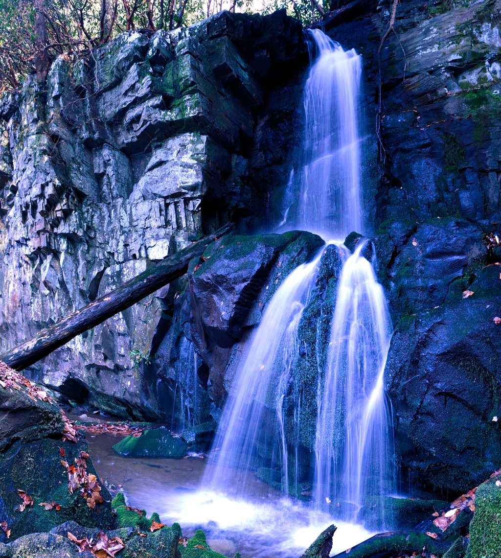
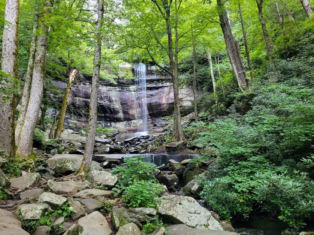
If you want a Smokies waterfall without the zoo of Rainbow or Grotto Falls, Baskins Creek is your move. This out-and-back to Baskins Creek Falls is roughly 3.0–3.2 miles total with about 900–950 feet of cumulative ascent, and most hikers take 2–3 hours. Expect a moderate effort overall with a punchy, heart‑thumping climb on the way back and a short, steep drop to the base of the falls. The two-tier, 40‑foot cascade is a lovely, underrated spot for photos and a trailside picnic.
From the Roaring Fork Motor Nature Trail trailhead, the path climbs gently for the first 0.2–0.25 miles, then levels with occasional west‑facing glimpses when leaves are off. Around 0.9–1.0 miles, you’ll ford Falls Branch—there’s no bridge, and it can be wet after rain. At about 1.1 miles a steep, unmaintained spur heads left to Baskins Cemetery; stay right for the falls. Shortly after, you’ll cross a second small creek, then reach a junction near 1.3 miles—turn left for Baskins Creek Falls. The final ~50 yards to the base are steep, rugged, and often slick; take your time. If you’re continuing beyond the falls, the main trail climbs steeply, includes a rock‑hop around 1.6 miles, and eventually reaches the other end of Roaring Fork.
Footing is classic Smokies: roots, rocks, and mud after wet weather. The return is mostly uphill and feels strenuous if you’re not used to climbing. Trekking poles help both for the descent to the falls and the grind back. You’ll hike through mixed hardwood and hemlock forest with seasonal wildflowers; wildlife sightings can include deer and the occasional black bear. The area around the falls can get busy midday, but the trail itself is typically quieter than nearby marquee waterfall hikes.
Parking is limited on the one‑way Roaring Fork Motor Nature Trail, and turning around isn’t simple—arrive early. Some hikers park at the Rainbow Falls lots and walk to the trailhead when spaces are full. A parking tag is required if you’ll be parked more than 15 minutes; purchase it before you go, as you can’t get one at the trailhead. Roaring Fork Motor Nature Trail is seasonal and may be closed in winter. Signage is adequate on the main path, but the spur and junctions can confuse first‑timers—download an offline map.
Spring through fall offers the friendliest conditions and good flow at the falls. Winter trades colder footing for better long‑range views through leafless trees. Water is best after rains, but creek crossings get trickier and the rocks near the falls get slick. For fewer people and softer light at the waterfall, start early or go late afternoon.
A legitimately moderate hike with a stout finish and a worthy payoff. If you’re chasing a classic Smokies cascade without the crowds, this one’s a sleeper. Fun tidbit: locals say the name evolved from a hunter known as “Bearskin Joe,” eventually becoming “Baskins.”
Small pullouts on the one-way Roaring Fork Motor Nature Trail near the trailhead; arrive early. Some park at the Rainbow Falls lots and walk to the trail. A parking tag is required for stays over 15 minutes; purchase in advance—no sales at the trailhead.
Steep, slippery descent to the falls; unbridged creek crossings; strenuous uphill return; confusing spur/junctions for first-timers; seasonal road closures; bear activity possible.
Place · 0.6 mi away
Place · 0.6 mi away
Place · 0.6 mi away
Place · 0.6 mi away
Easy · 0.6 mi away
Moderate · 0.8 mi away
Challenging · 1.1 mi away
Challenging · 1.2 mi away

Parkwolf Tour Guide
