Parking
Rainbow Falls Trailhead on Cherokee Orchard Road, with upper and lower lots. Parking is very limited; consider a shuttle. A parking tag is required for parking longer than 15 minutes.
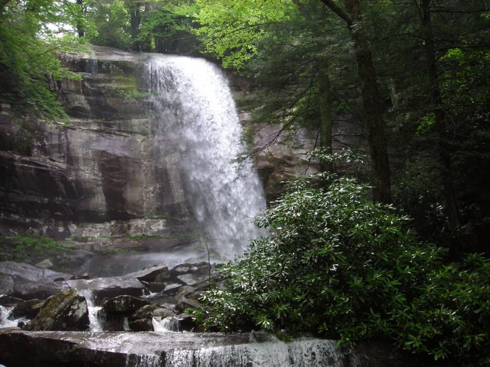
#12 of 197 trails in Great Smoky Mountains
Great Smoky Mountains National Park, TN · NC
Climb a boulder-lined creek valley to an 80-foot waterfall.
Overview
Map & elevation
Plan your hike

The highest, rockiest slopes around here are a summer buffet for grizzly bears.
Great Smoky Mountains Tour Guide
Parkwolf is a GPS audio tour guide for Great Smoky Mountains National Park. As you drive, it chimes in with what’s ahead: hidden gems, upcoming stops, history, geology, and wildlife, right through your car’s speakers.
See the Great Smoky Mountains audio tourRecorded for this trailhead
Rainbow Falls Trailhead“The Rainbow Falls trailhead is ahead, the start of a steep, rocky hike to an eighty-foot waterfall. Allow four to five hours for the five point six-mile round trip, with about fifteen hundred feet of climbing.”
Plays as you drive up to this trailhead in the Parkwolf Great Smoky Mountains Tour Guide.
More stories near here in the app
“Fantastic app with many points of information… It’s great to just turn on while you’re driving and it gives you an audio tour of the national Park. We love it!!!!”


Trail guide
Rainbow Falls Trail is a steep, wooded out-and-back from Cherokee Orchard Road to an 80-foot waterfall. The round trip is listed at 5.6 miles with about 1,500 feet of climbing; give it roughly 4 to 5 hours including stops and the return. This route ends at the falls and retraces the same corridor. The trail continues toward Mount Le Conte, but that is a separate, much longer hike.
The climb begins right away. For the first two-thirds of a mile, the trail works through a large boulder field while LeConte Creek cascades down the slope beside it. Rocky openings make natural places to pause, but the tread rises steadily and irregular stones persist. The creek and trees give this stretch a sheltered feel; they do not make the grade gentle.
Farther up the valley, the route stays in forest and crosses footbridges above the creek. Small cascades arrive before the main waterfall, so keep climbing until the broad rock face comes into view. The trail continues past Rainbow Falls toward Mount Le Conte, but this hike turns around at the falls; the summit extension changes the outing into a strenuous 13-mile round trip.
Old-growth trees share the route with sections affected by the 2016 Chimney Tops 2 fire. A major rehabilitation followed in 2017: crews rebuilt eroded tread with more than 350 steps, raised sections, drainage and native stone, and removed a network of informal paths. Those repairs help keep hikers on one durable corridor, while the remaining rocky climb still calls for sure footing.
The cascade drops about 80 feet over layered rock. On sunny afternoons, spray can catch the light and form the rainbow behind the name; after sustained rain, the flow is stronger. In extended cold, ice can build around the falls. For a full-cascade photograph, early or late light is easier to manage than the high sun around midday. Mist and algae can make the rocks slippery, so stay on the established trail rather than climbing around the base.
Start at Rainbow Falls Trailhead on Cherokee Orchard Road, using the upper or lower lot. Parking is limited and often fills, so consider a shuttle before arriving. Pit toilets are at the trailhead. A parking tag is required for vehicles parked longer than 15 minutes, and pets are not allowed on this trail.
Choose it for a creekside forest climb with a distinctive waterfall finish, not for an easy walk or a summit panorama. Expect a sustained ascent, rocky tread and the same climb in reverse on the return. If your goal is Mount Le Conte, plan for a different, much longer route; do not mistake its mileage or demands for the waterfall-only trip.
Wildlife
 1,569 sightingsBlack BearMost seen around 7 PMSighting map
 900 sightingsElkMost seen around 7 AMSighting map
 13 sightingsBald EagleMost seen around 9 AMSighting map
 142 sightingsTimber RattlesnakeMost seen around 6 PMSighting map
 26 sightingsBobcatMost seen around 8 PMSighting map
 42 sightingsRiver OtterMost seen around 7 AMSighting map
Sighting maps show where each species has been reported across Great Smoky Mountains. Wildlife moves, so no sighting is guaranteed.
Keep exploring
ChallengingMount Le Conte via Rainbow Falls Trail13 mi · 9 hr · 0.1 mi awayRainbow Falls is the first milestone on this long Le Conte climb.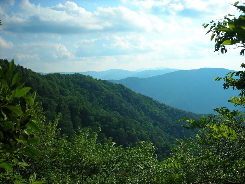 ChallengingBullhead Trail to Mount Le Conte13.6 mi · 10 hr · 0.4 mi awayA long, steep route to Le Conte with exposed ridge views.
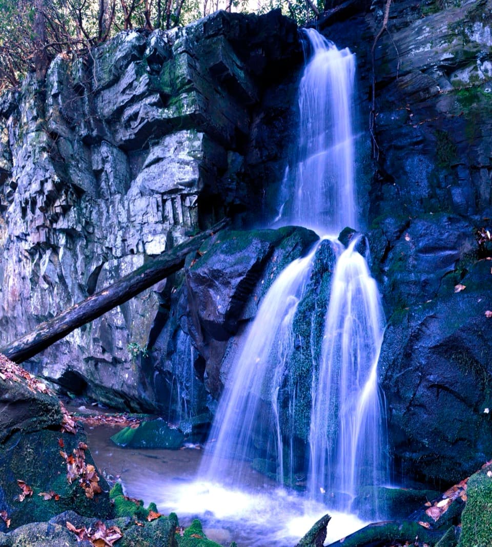 ModerateBaskins Creek Trail to Baskins Creek Falls3.3 mi · 2.5 hr · 0.5 mi awayA waterfall walk with a steep finish and a climb back.
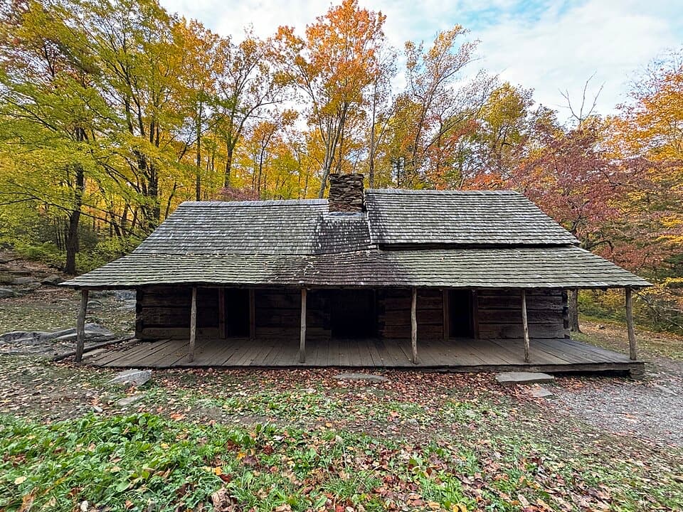 EasyNoah “Bud” Ogle Place Nature Trail0.8 mi · 45 min · 0.6 mi awayA short farmstead loop to a cabin, mill and log barn.
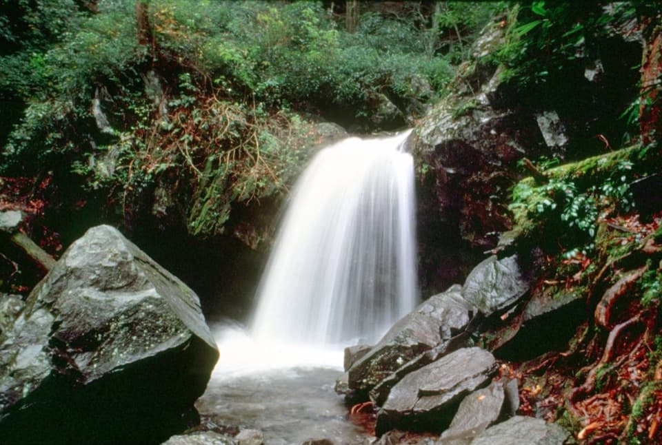 ModerateGrotto Falls Trail2.6 mi · 2.5 hr · 1.4 mi awayA shaded 2.6-mile walk to a waterfall you can walk behind.
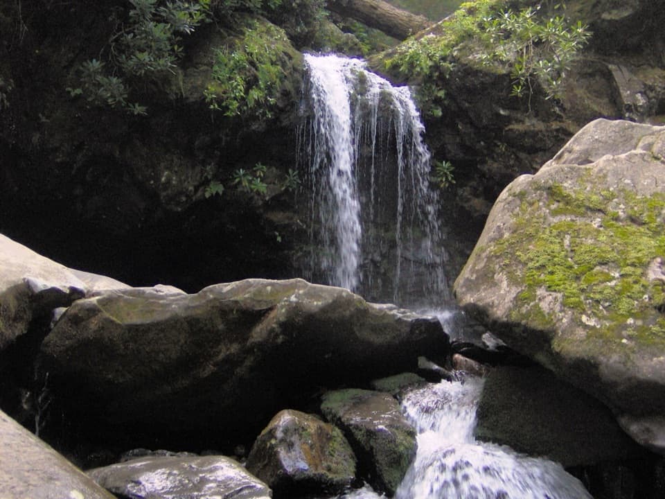 ChallengingTrillium Gap Trail to Mount Le Conte13 mi · 9 hr · 1.4 mi awayA long climb to Le Conte, with Grotto Falls along the way.
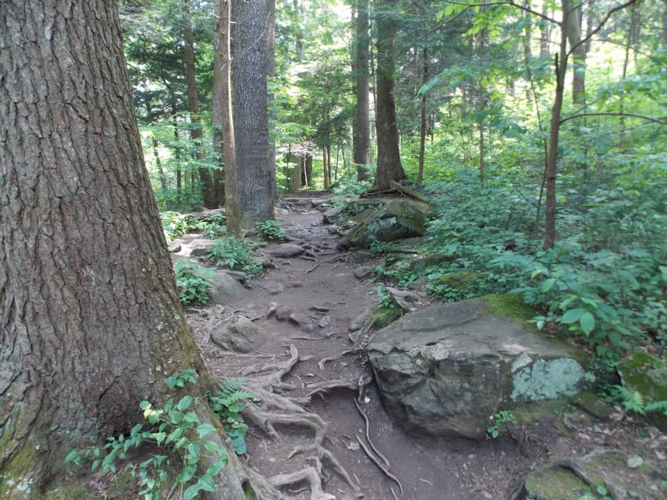 ChallengingBrushy Mountain via Trillium Gap Trail6.8 mi · 4.5 hr · 1.4 mi awayA waterfall walk climbs to a heath bald with two views.
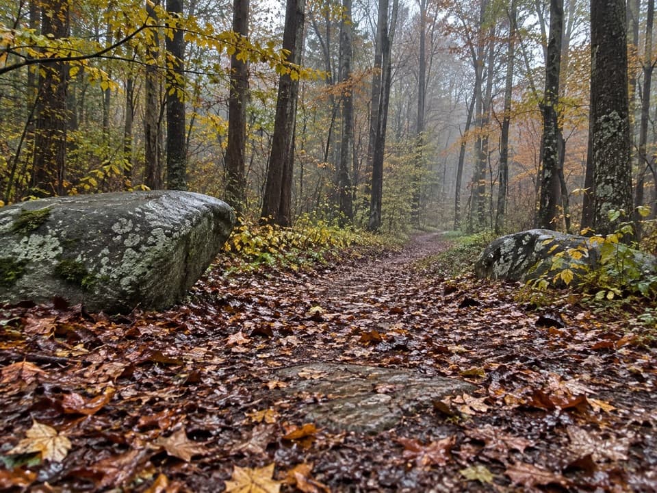 EasyRiverview Quiet Walkway0.9 mi · 45 min · 2.2 mi awayA short river loop with a smooth roadbed and rougher return.
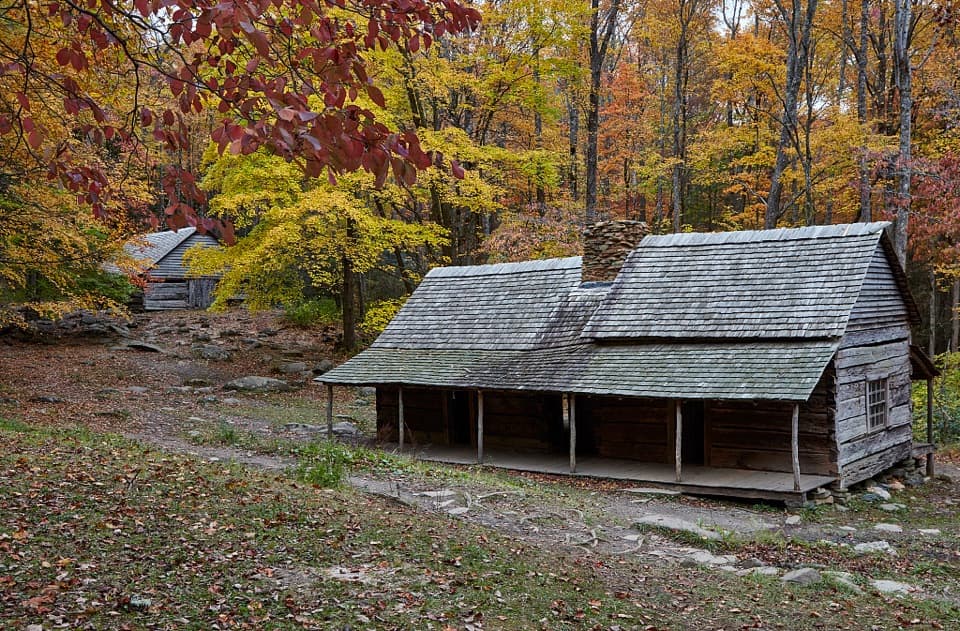 Sight · 0.6 mi awayNoah Bud Ogle PlaceA rare saddlebag cabin beside a creek-powered mill.
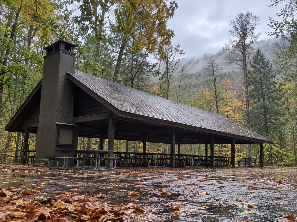 Picnic area · 1.2 mi awayTwin Creeks Picnic PavilionA wooded group pavilion for gatherings of up to 150.Sight · 1.4 mi awayBaskins Creek FallsA two-tier waterfall, earned by a steep hike back out.Sight · 1.6 mi awayRainbow FallsA steep Smokies climb to a waterfall named for its rainbows.
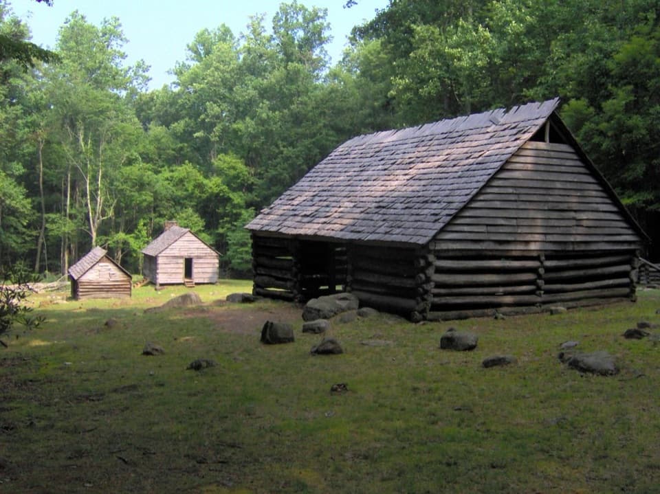 Sight · 1.8 mi awayJim Bales PlaceThree farm buildings, including a cabin moved across the park.
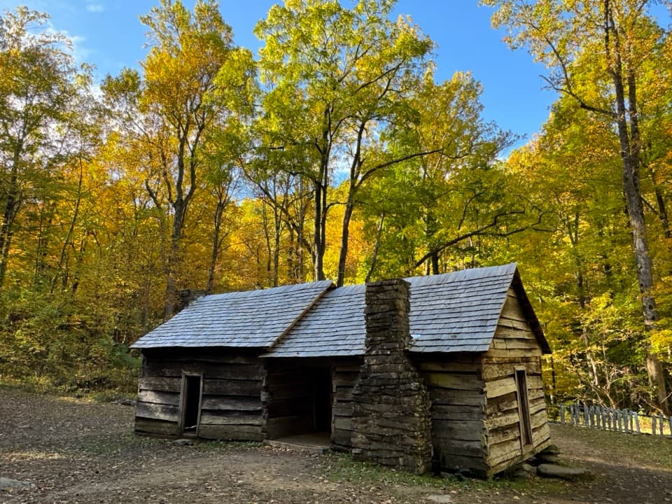 Sight · 1.8 mi awayEphraim Bales CabinA family farm preserved down to its dog-trot breezeway.Sight · 2.1 mi awayGrotto FallsWalk behind a 25-foot waterfall on a shaded stream-crossing hike.
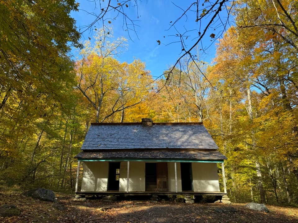 Sight · 2.1 mi awayAlfred Reagan House and Tub MillA quick stop for a Smokies homestead and its historic tub mill.
Parkwolf’s Great Smoky Mountains ranking

The audio tour guide for the drive, plus offline maps, trails, and wildlife heatmaps for when the signal drops.





