
Place · 0.1 mi away
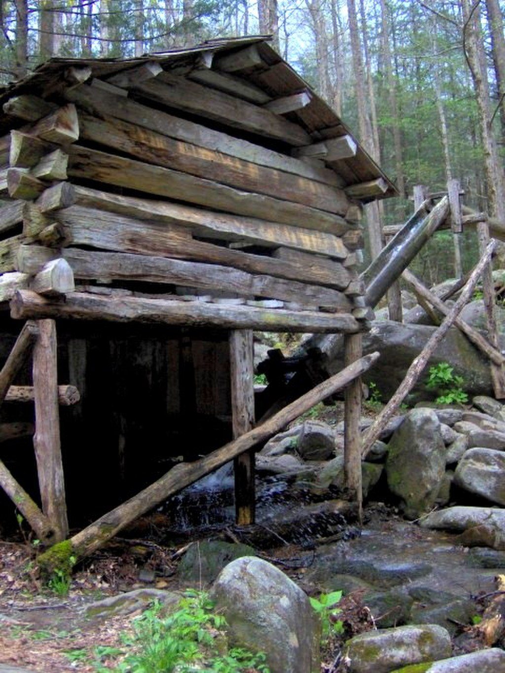
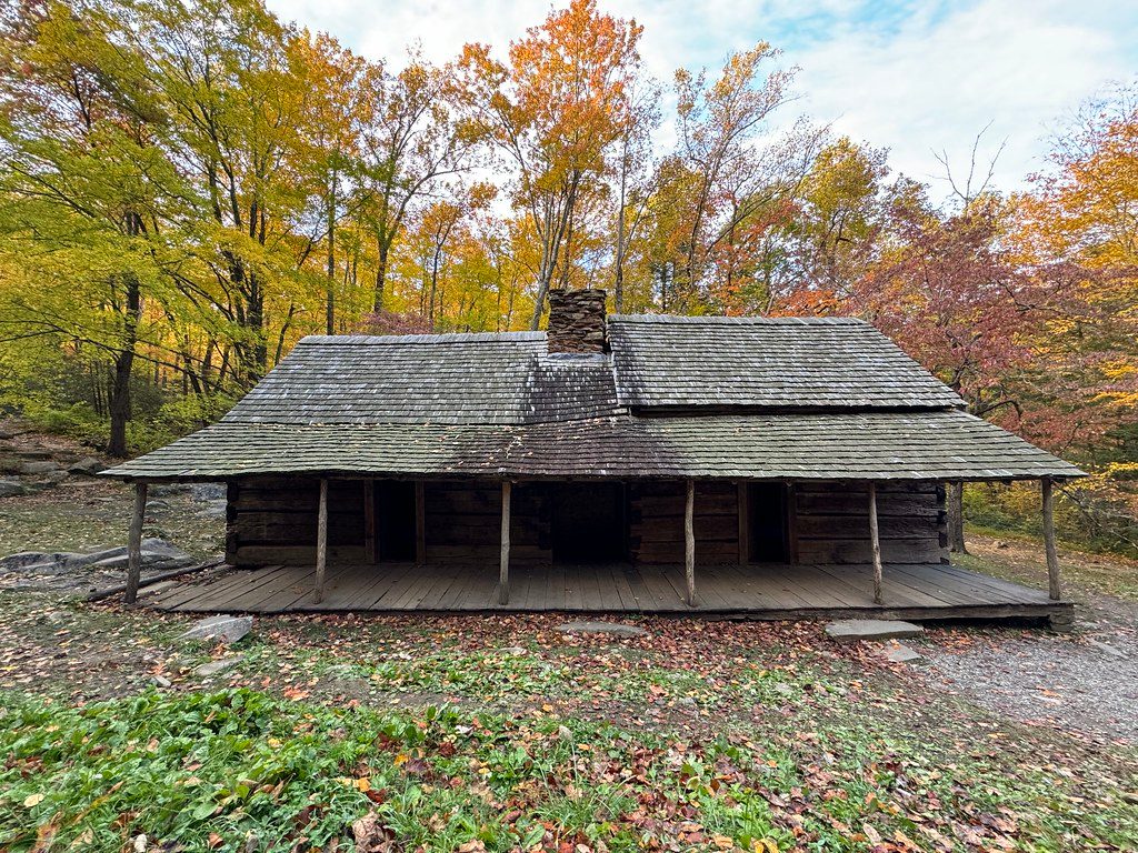
Bud Ogle Farm (also called the Noah “Bud” Ogle Place) is a late-1800s mountain homestead just outside Gatlinburg that packs a lot of history into a compact stop. It’s one of the best preserved glimpses of Appalachian farm life in the park—listed on the National Register of Historic Places since 1977—and sits just before the Roaring Fork Motor Nature Trail. Expect a quick, rewarding visit that’s easy to pair with the scenic drive.
A roughly 0.7-mile loop trail weaves past the cabin, barn, and mill, with a self-guided brochure available at the trailhead for a small fee. The path is generally easy but expect rocks, roots, a little up-and-down, and damp, slick spots near the creek. Plan 30–60 minutes if you want to linger at each structure.
Noah “Bud” Ogle and his wife Lucinda established their homestead here in the 1880s on a rocky 400 acres along LeConte Creek. They grew corn and apples, and their story ties directly into the Ogle family’s foundational role in early Gatlinburg. The preserved buildings you walk through today are part of a broader collection of historic structures the Park Service maintains across the park.
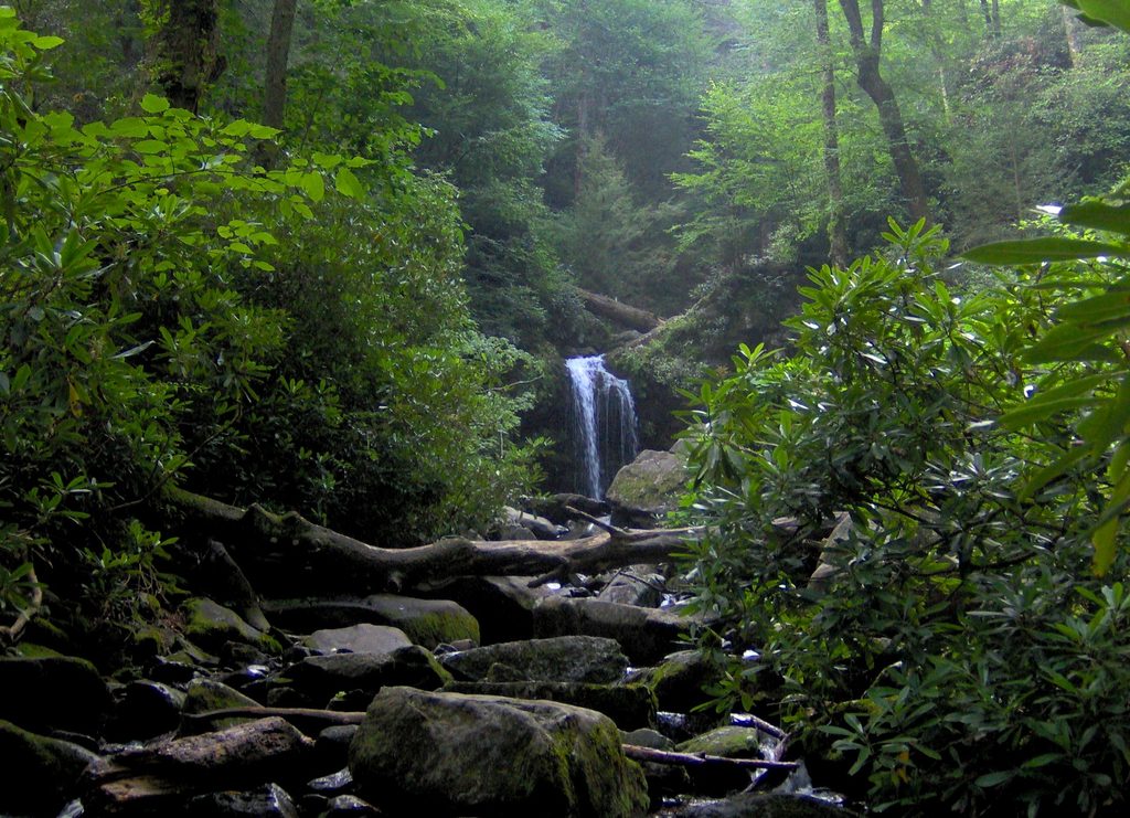
Roaring Fork’s shady coves, lively streams, and damp forest floor make this a good place for salamanders, and visitors occasionally report black bear sightings. Enjoy the wildlife from a distance and keep food secured.
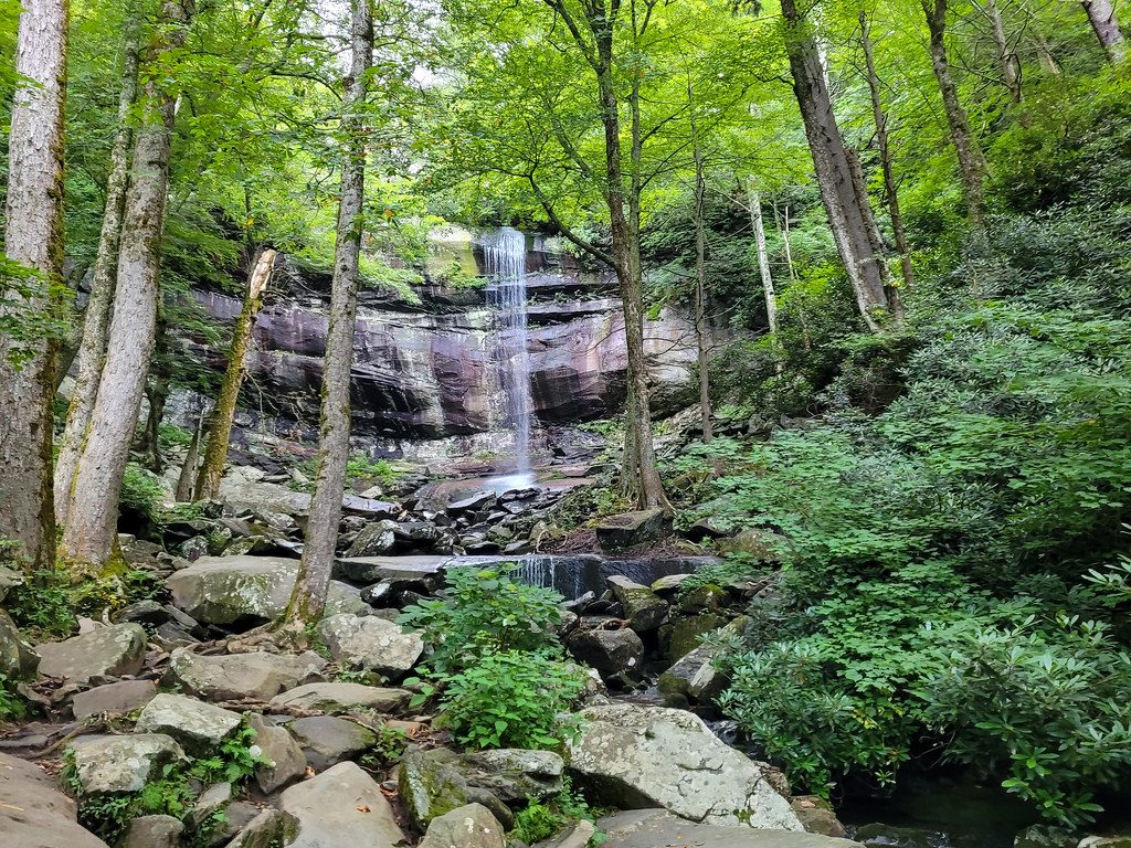
You’ll find the farm on Cherokee Orchard Road, just before the one-way Roaring Fork Motor Nature Trail (and near the Rainbow Falls parking area). Parking is limited, so consider making this your first stop before driving the loop.
Go early or on weekdays for easier parking and a quieter loop, especially if you’re continuing onto the Roaring Fork drive. Creek-side rocks are slick after rain, so sturdy shoes are your friend. If conditions are questionable, check current road/trail status with rangers at Sugarlands Visitor Center before you go.
If you like history, old-world craftsmanship, or short, kid-friendly explorations, this is a gem—and an effortless add-on to Roaring Fork. It’s not an all-day destination, but it’s a satisfying hour that brings the park’s human story into focus.
Place · 0.1 mi away
Place · 0.6 mi away
Place · 0.6 mi away
Place · 0.6 mi away
Easy · 0 mi away
Moderate · 0.6 mi away
Moderate · 0.6 mi away
Challenging · 0.7 mi away

Parkwolf Tour Guide
