
Place · 0 mi away
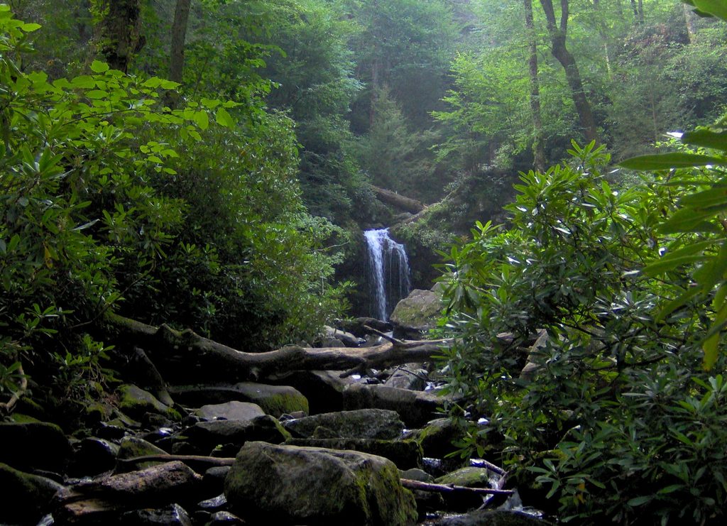
Roaring Fork Historic District wraps a one-way, 5.5‑mile motor nature trail around a steep mountain creek, old-growth woods, and preserved pioneer-era buildings. It’s the rare drive where you can jump between history and waterfalls without committing to a long hike.
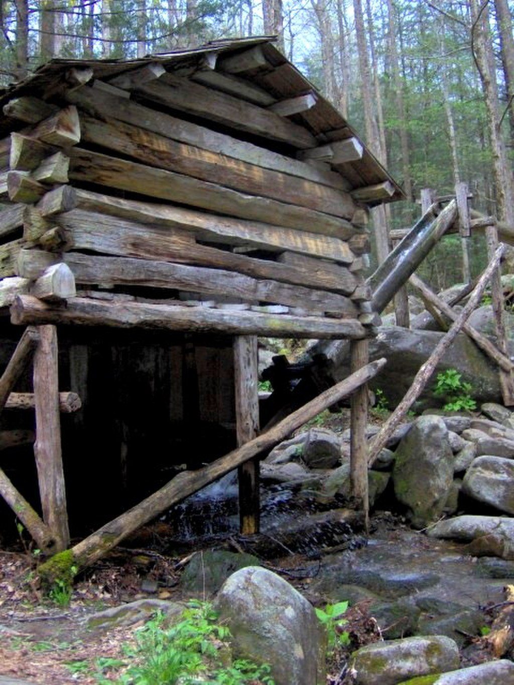
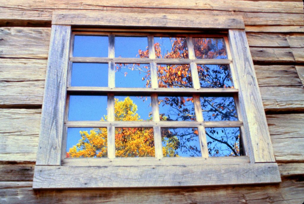
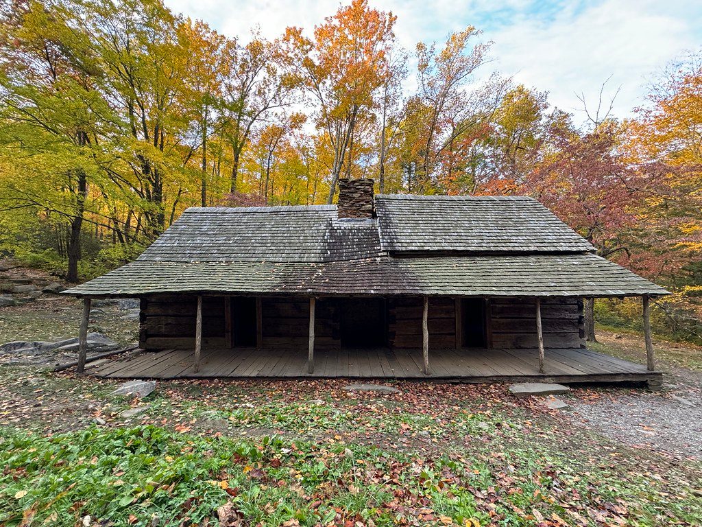
Settled in the 1800s, this valley once held a tight-knit hamlet with farms, a school, church, and mills. Today’s preserved buildings—Bales and Reagan family homes, outbuildings, and the Reagan tub mill—tell that story. The district is listed on the National Register of Historic Places, reflecting its importance to Southern Appalachian heritage.
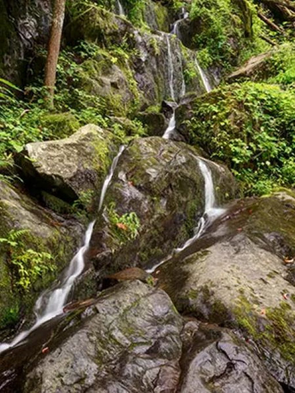
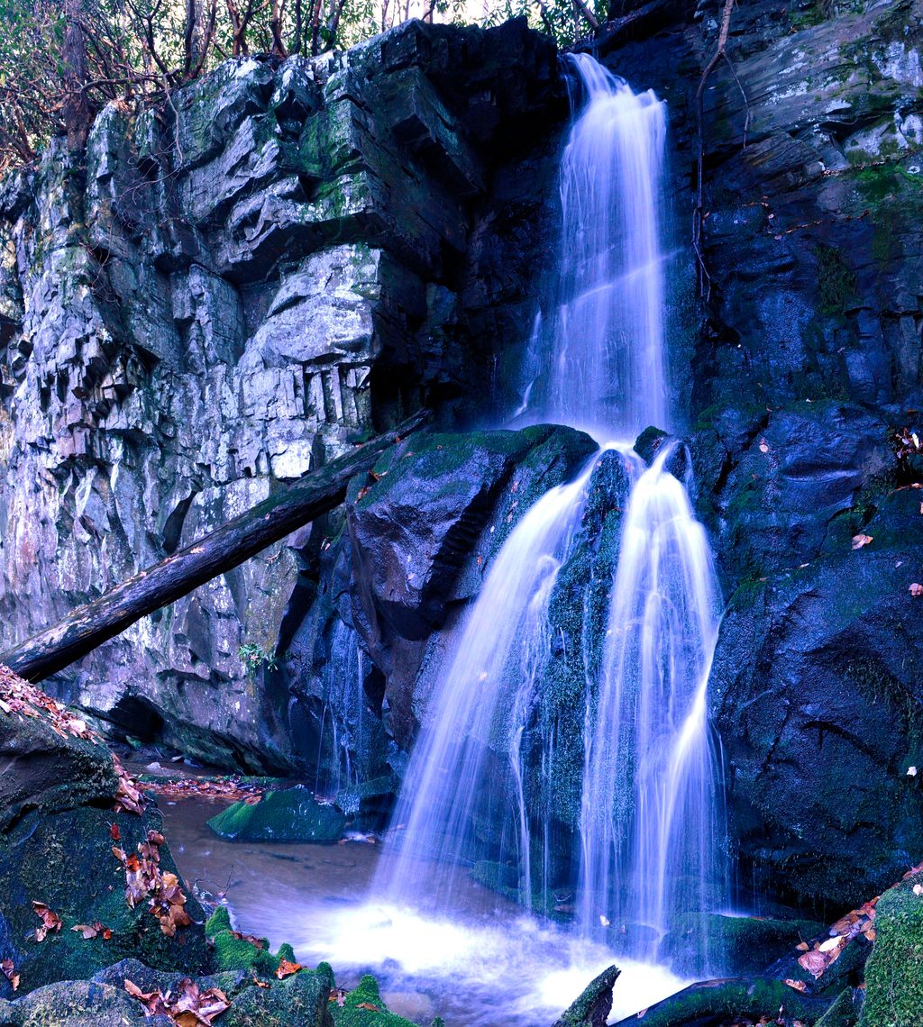
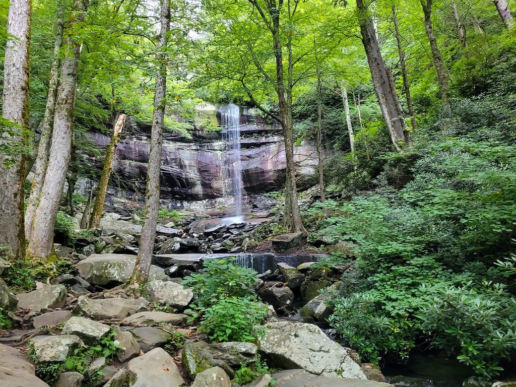
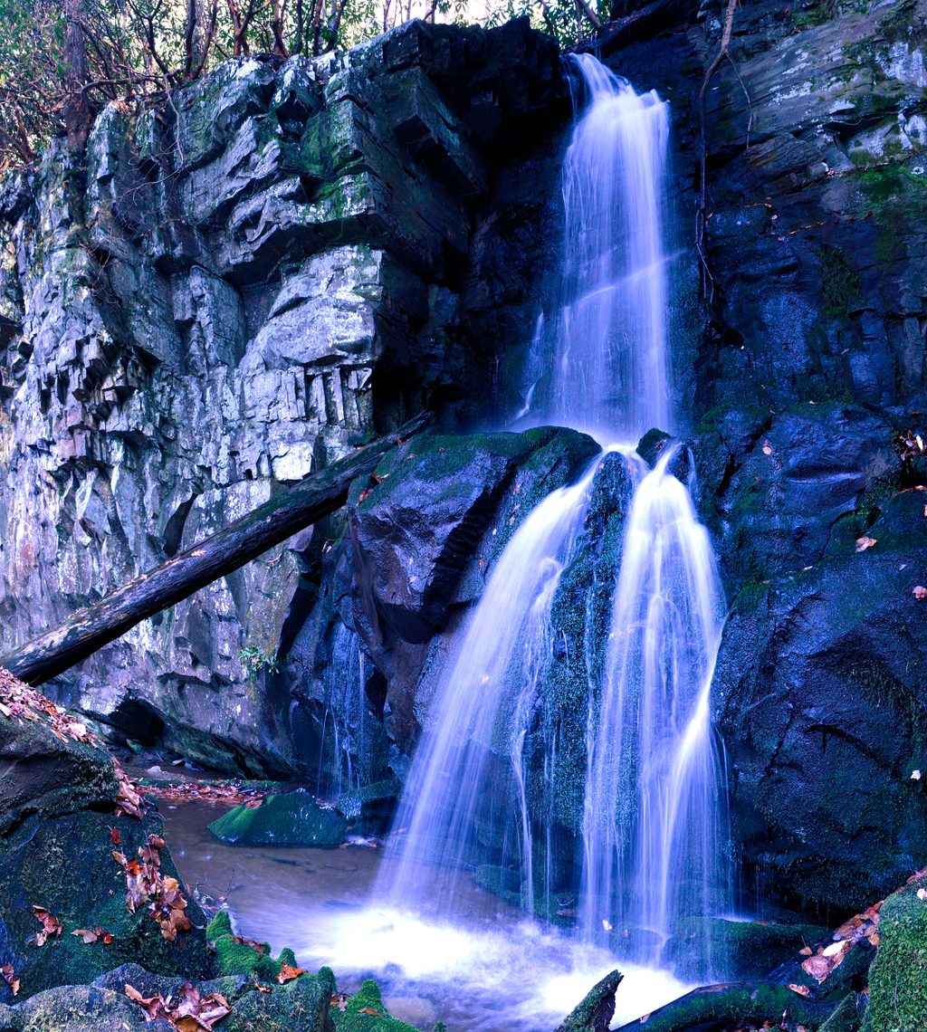
Roaring Fork drops roughly 2,500 feet off Mount Le Conte’s north slopes, which is why the creek and cascades turn dramatic after storms. The valley sits atop ancient sandstones; farmers stacked the scattered stones into walls you’ll still notice along the route.
Black bears, white‑tailed deer, wild turkey, and salamanders are regularly reported. Dawn and dusk are prime; keep a respectful distance (at least 50 yards from bears) and never feed wildlife.
From Gatlinburg, head up Cherokee Orchard Road (past the Rainbow Falls parking); the one‑way loop begins just beyond. The road is paved, narrow, and one‑way—no buses, trailers, or motor homes. Services are sparse on the loop; bring water and snacks. Restrooms are available at Sugarlands Visitor Center before you head up.
The road is typically open spring through fall and closes in winter. In season, aim for early morning or late afternoon for lighter traffic, softer light, and better wildlife chances. Midday—especially weekends—brings the heaviest crowds, and parking at Trillium Gap (Grotto Falls) and other pull-offs fills fast. After rain, the creek and waterfalls are most photogenic, but drive slowly—rocks and pavement can be slick.
Work your way steadily: if you pass a pull-off you want, you’ll have to complete the loop and start over. Golden hour lights up the mossy boulders and cabins beautifully. If you plan to park longer than a quick stop, have your required parking tag squared away.
Place · 0 mi away
Place · 0.2 mi away
Place · 0.6 mi away
Place · 0.6 mi away
Moderate · 0.2 mi away
Moderate · 0.6 mi away
Easy · 0.6 mi away
Challenging · 0.7 mi away

Parkwolf Tour Guide
