Easy

Schoolhouse Gap Trail

Wide, flower-rich stroll with easy grades and a quiet vibe
Schoolhouse Gap Trail, Great Smoky Mountains National Park
Distance4.1 mi
Typical time1.7 hr
DifficultyEasy
PetsNot allowed

Overview

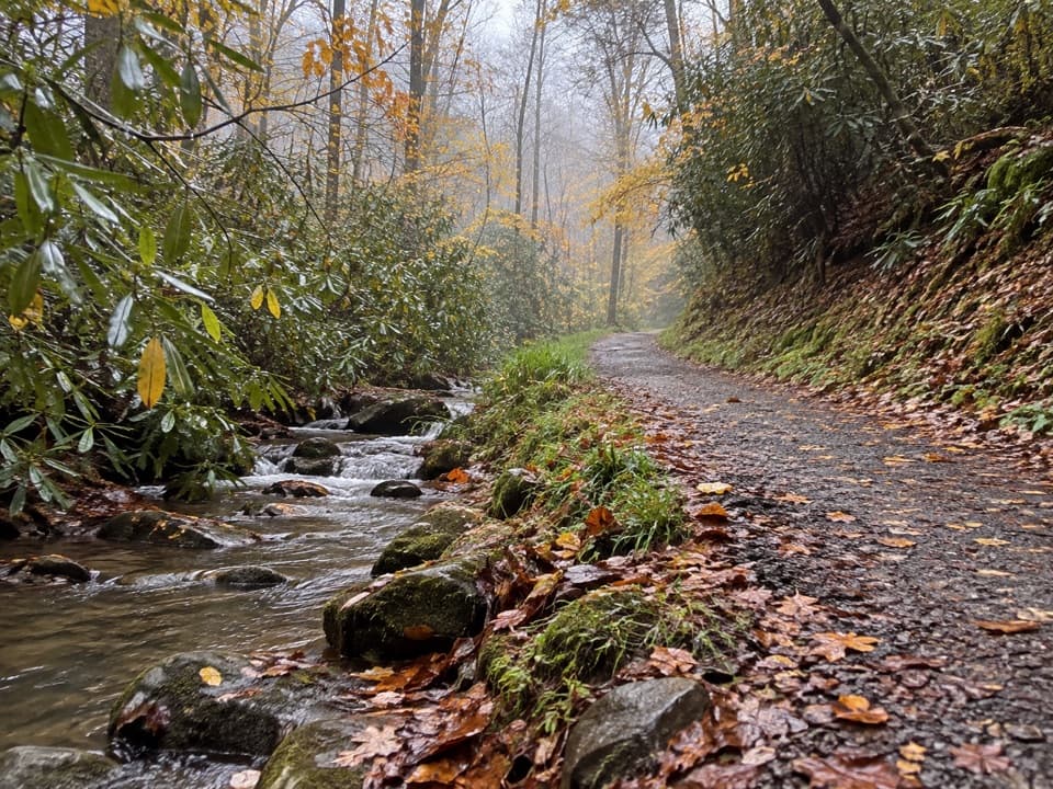
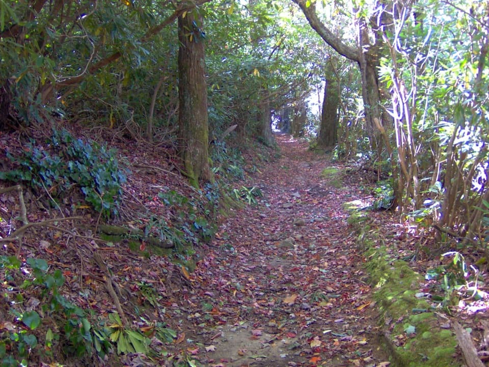
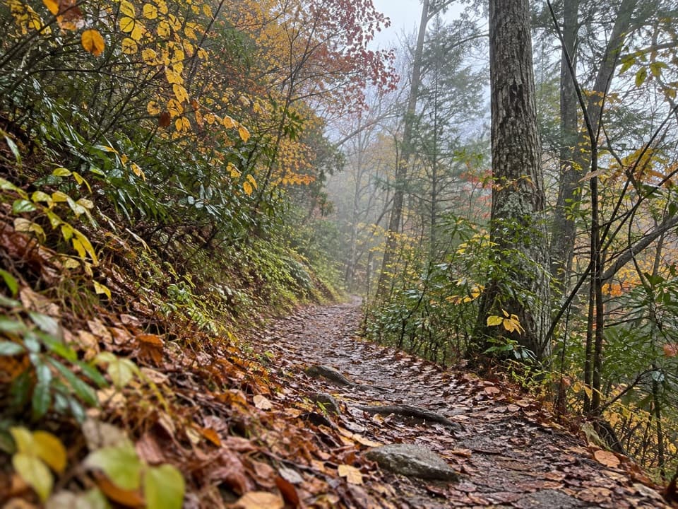
Schoolhouse Gap Trail is an easy-to-moderate, 4.1-mile out-and-back with about 500–520 feet of gain on a wide, former roadbed shared with horses. Expect a gentle grade, room to walk side‑by‑side, and a surprisingly peaceful feel compared to nearby hotspots. There’s no actual schoolhouse—the name likely nods to students once traveling through the gap.

Route Notes

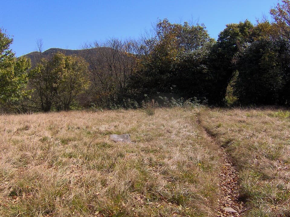
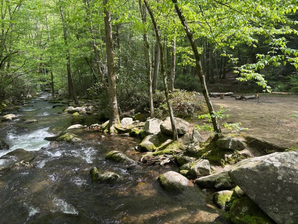
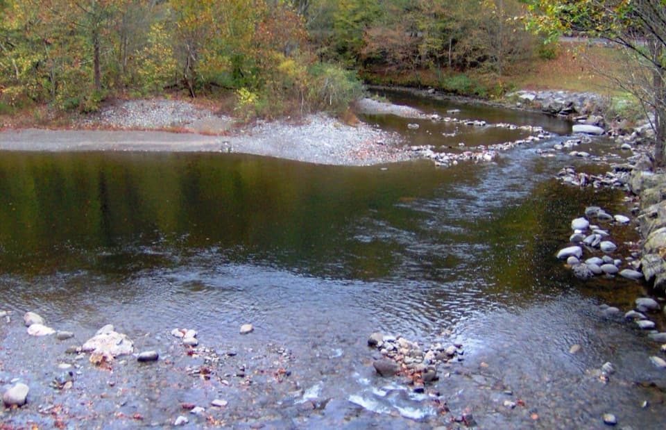
From the trailhead, the path follows Spence Branch before climbing gradually. Just under a mile in, ignore Turkeypen Ridge Trail on the left to stay on Schoolhouse Gap. Near this junction you may spot a boar trap—part of the park’s ongoing effort to control invasive European wild boar. Shortly beyond, an unmarked left “manway” leads to White Oak Sinks, a sensitive area with a meadow, a prominent cliff, and the drafty Blowhole Cave. It’s not an official, signed route and the social paths can be confusing—continue straight if you’re unsure. The maintained trail ends at the Chestnut Top Trail junction about 1.9 miles from the start. You can continue another 0.2 miles to the actual gap and the park boundary, or turn around at the junction.

What You’ll See

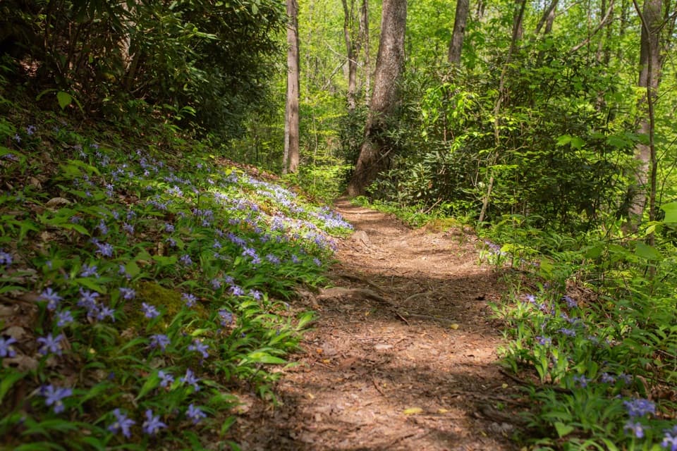
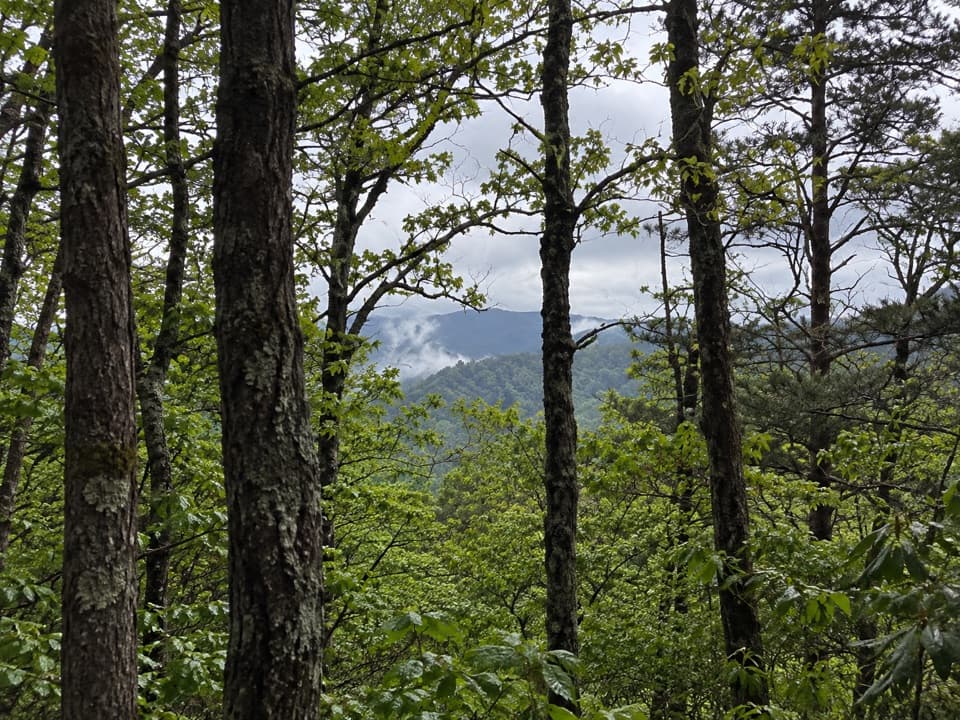
This is one of the park’s low-effort, high-reward wildflower walks. In spring, look for Virginia bluebells, beaked violets, pink lady’s slippers, Catesby’s trillium, rhododendron, and mountain laurel, with later spring and summer bringing cardinal flower, blue lobelia, purple ironweed, and more. Bird activity is good—owls are noted—and you’re firmly in bear country, so keep your distance if you encounter wildlife.

Difficulty and Expectations

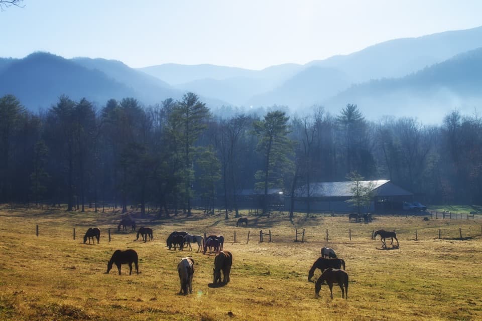
The tread is mostly smooth with a few rockier and slightly steeper sections higher up. It’s family‑friendly, though younger kids may not make the full distance. Because horses use the route, expect some churned tread or droppings after wet weather. Trekking poles help on the uneven bits.

Logistics

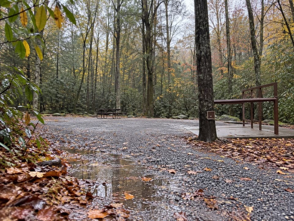
Trailhead parking sits along Laurel Creek Road roughly 3.7–4 miles from the Townsend “Y,” on the right. It’s a small pullout that fills quickly in peak wildflower season—arrive early. No dogs are allowed on this trail, and a parking tag is required if you’ll be parked more than 15 minutes anywhere in the park.

Best Time to Hike

April through May is prime for spring blooms, with fresh species cycling in through summer and even into early fall. Start early for easier parking, cooler temps, and quieter trail time. Always check current conditions before you go; bear activity can prompt temporary advisories or closures, and nearby segments have occasionally been closed.

Extend or Compare

For a longer day, link Schoolhouse Gap with Chestnut Top as a one‑way shuttle for a wildflower‑rich ridge ramble. Prefer to keep it simple? The out‑and‑back to the Chestnut Top junction delivers the essence of the trail without overcommitting.

Pros

  • Outstanding spring wildflower diversity with minimal effort
  • Easy shuttle option by linking with Chestnut Top for a longer ridge walk
  • Educational peek at resource management via the boar trap near Turkeypen

Cons

  • Unmarked White Oak Sinks manway tempts detours and can be disorienting
  • Shared with horses, so expect churned tread and droppings after rain

Parking

Small roadside lot on Laurel Creek Road ~3.7–4 miles from the Townsend Y, on the right; fills early in peak wildflower season.

Caution

Bear country with occasional advisories; yield to horseback riders; an unmarked spur to White Oak Sinks has confusing social trails—avoid if unsure. No dogs, and a parking tag is required for stays over 15 minutes.

The Parkwolf tour guide sitting on a phone mounted in a car

Parkwolf Tour Guide

Like a tour guide in your car.

Bring Great Smoky Mountains trail research into the car, with offline maps and stories that play as you drive.Download Parkwolf on the App Store