Pros & cons
PROS
- Gateway to Guadalupe Peak, Devils Hall, Tejas, and The Bowl
- Flush restrooms, picnic tables, and clear trailhead signage
- Easy connector to the visitor center for water, permits, and info
CONS
- Parking fills early on busy weekends
- Rugged, rocky routes with big elevation gain and exposure
- Very limited services nearby—no gas or food in the park
Overview
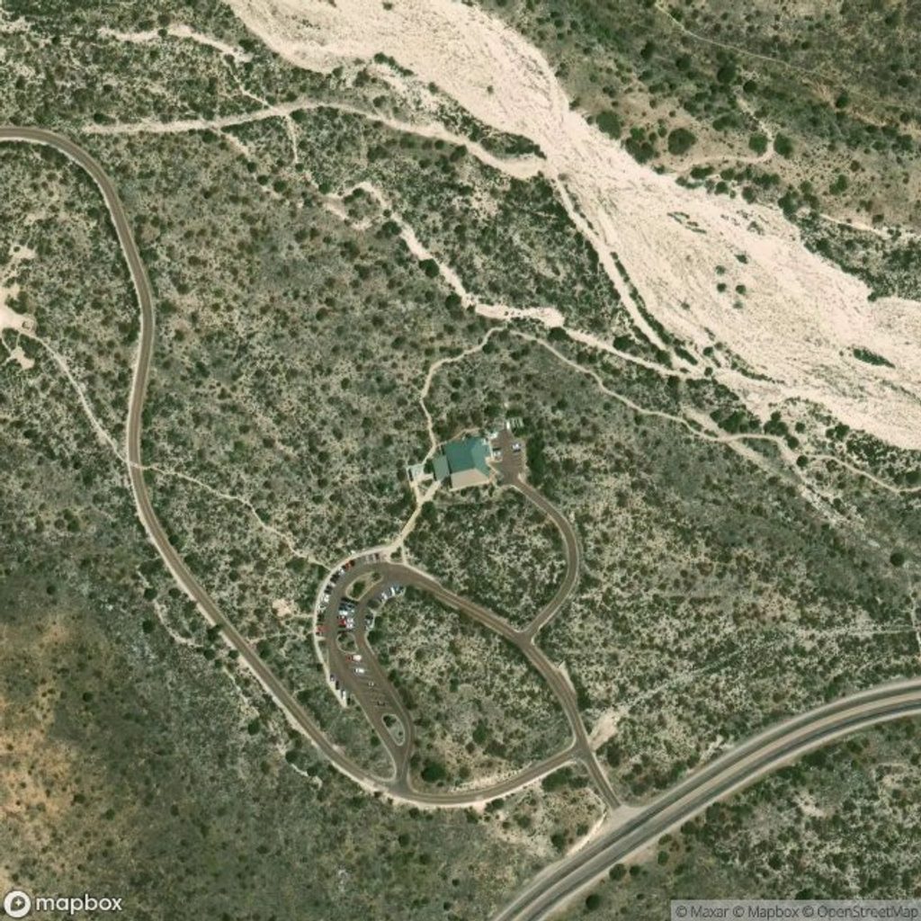
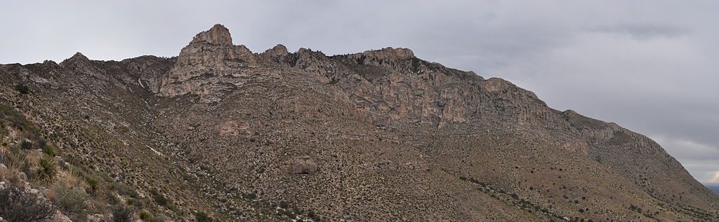
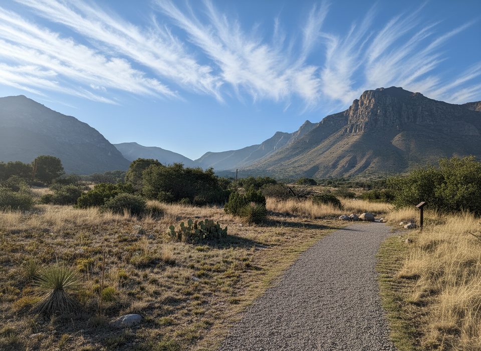
Perched just above the Pine Springs Visitor Center, this is the park’s main launchpad for big hikes. You get the essentials—parking, flush restrooms, benches, picnic tables, and interpretive info—plus a short connector from the visitor center/campground if the lot is full. Expect sun, wind, and stout elevation right out of the gate.
Signature Hikes from Here
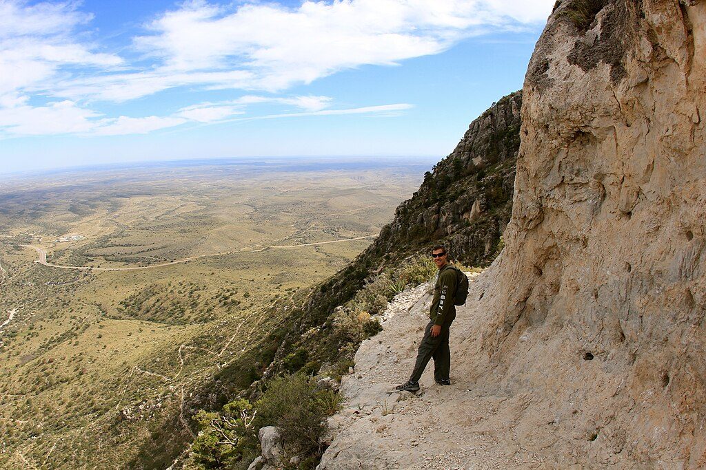
- Guadalupe Peak (8.4 miles round trip, ~3,000 ft gain): The “Top of Texas” with sweeping views and a tour through desert to high-country forest. It’s a full‑day grind; start early.
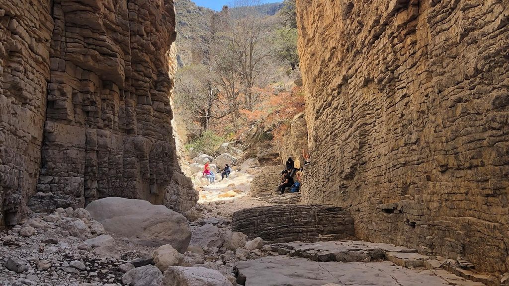
- Devils Hall (4.2 miles round trip): An adventurous tromp up a rocky wash to a natural staircase and a narrow stone hallway. Surfaces can be slick even when dry; brief light scrambling.
- Hunter Peak loop (via Bear Canyon up, Tejas down): A demanding day with solitude, access to The Bowl, and big vistas.
- Foothills/Frijole loop: A moderate circuit below the escarpment for scenery without the punishing gain.
- Longer/backpacking routes: El Capitan, Salt Basin Overlook, The Bowl, Tejas/Bush Mountain, and overnights toward Shumard Canyon all begin here.
Logistics and Amenities
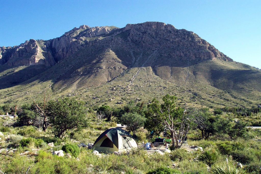
You’ll find flush restrooms, seating, picnic tables, parking, and trailhead signage at the lot. Down at the Pine Springs Visitor Center (a short walk), you can top up water, ask rangers for current conditions, browse the small park store, and even grab Wi‑Fi. The adjacent campground keeps things simple—no hookups or showers—but it’s handy for early starts.
A park entrance fee is required. This area commonly fills first on busy weekends; if the trailhead lot is packed, park at the visitor center and use the connector path.
Conditions, Safety, and Wildlife
Trails here are rocky and often strenuous. Washes can hide slick rock; trekking poles help. Winds frequently rip through in winter and spring, and summer brings fast‑moving thunderstorms. Carry plenty of water (think at least a gallon per person on long hikes), sun protection, and start early.
Around Pine Springs you’ll often spot lizards skittering across the trail and, occasionally, owls near the visitor center trees. Give all wildlife space.
Pets are very limited: leashed pets are allowed on the short paved Pinery Trail and the campground connector but not on backcountry trails.
Best Time to Visit
Beat both heat and crowds by starting at sunrise—especially on weekends. Shoulder seasons tend to feel pleasantly quiet and cool, but always check current conditions and wind forecasts. Afternoon starts are hot and exposed, and parking is more competitive.
Where it is
31.8964, -104.8279Tips for Pine Springs Trailhead
- 01Arrive at dawn on weekends; the lot often fills first here.
- 02If parking is full, use the visitor center lot and walk the connector trail.
- 03Carry at least a gallon of water per person for long routes like Guadalupe Peak.
- 04Trekking poles help on the rocky, slick wash sections toward Devils Hall.
- 05Check current trail and weather alerts with rangers at the visitor center before heading out.
Amenities
Near Pine Springs Trailhead
All places →All trails →
0 mi awayGuadalupe Peak TrailStrenuous climb to the Top of Texas with sweeping desert viewsChallenging · 8.4 mi · 7 hr
0 mi awayHunter Peak via Bear Canyon and Tejas LoopSteep climb, huge views, and cool pine forests in one loopChallenging · 8.7 mi · 7 hr
0 mi awayBush Mountain TrailRemote ridge climb to Texas's second-highest summit with big viewsChallenging · 13.2 mi · 7.5 hr
0 mi awayDevil’s Hall TrailShort, scrambly canyon to a photogenic limestone hallwayModerate · 4.2 mi · 3 hr
0.1 mi awayPine Springs CampgroundTrailhead-side basecamp with basics, high winds, and big viewsCampground · Restroom
0.4 mi awayPine Springs Visitor CenterPark HQ for maps, permits, water, and trailhead intelVisitor Center · Restroom
0.4 mi awayPine Springs Picnic AreaConvenient picnic spot beside the main trailheadsRestroom · Parking
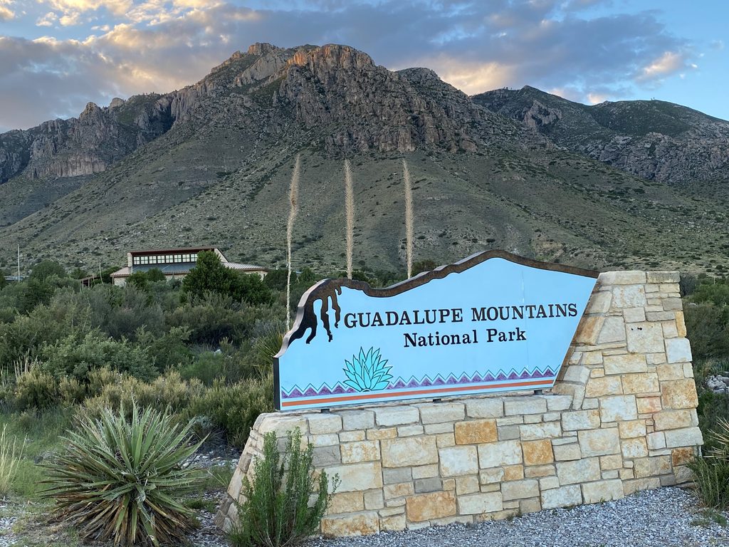
0.5 mi awayGuadalupe Mountains National Park Entrance Sign (Pine Springs)Quick photo op with El Capitan backdrop at the entrance signPullout · Parking