
Place · 0 mi away
Challenging

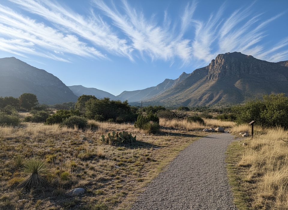
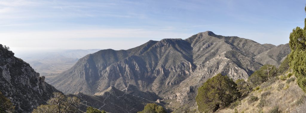
This is a big, remote day in rugged country—long miles, real elevation, and the kind of solitude you won’t find on the park’s marquee hike. From Pine Springs, the out-and-back to Bush Mountain’s 8,631-foot summit is roughly 13.2 miles total with about 3,600 feet of climbing. Expect 6–10 hours depending on fitness, heat, and wind. The payoff: sweeping Salt Flats vistas, a walk through a sky-island forest, and the satisfaction of tagging Texas’s second-highest peak.
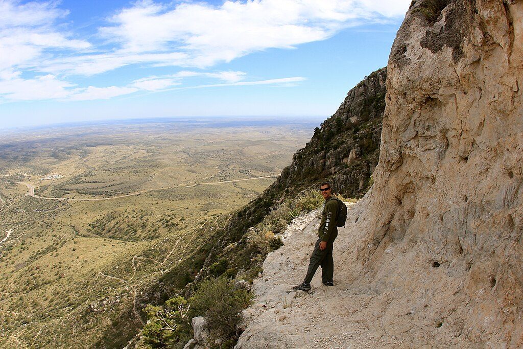
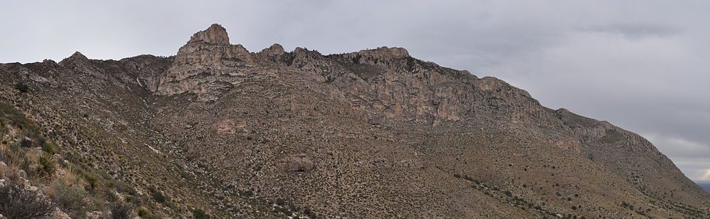
Start at Pine Springs and climb the Tejas Trail about 3.8 miles to Pine Top Junction—your gateway to The Bowl, Bush Mountain, and beyond. Turn west onto the Bush Mountain Trail. The ridge undulates with a mix of shaded forest patches, open sun-exposed stretches, and some steep, rocky pushes. You’ll peer into The Bowl’s forested plateau, pass tall pines near the Bush Mountain Campground, and traverse airy sections of the western escarpment before the final approach. A small repeater sits near the summit area, where the views are massive and include nearby Bartlett Peak.
The primitive Bush Mountain Campground sits roughly 0.75 miles before the summit (five tent sites, good shade, no water or restrooms). If you’re after an even bigger undertaking, there’s an alternative approach from Dog Canyon—about 12.3 miles one way to the summit—usually done as an overnight and known to be overgrown in places.
This is a strenuous, remote hike with exposure, wind, and some brushy, rocky sections. Navigation is generally straightforward on the main path, but overgrowth and loose scree demand attention. Carry a detailed topo or reliable offline map. Plan for a serious water carry—4–5 liters per person plus electrolytes is a smart baseline here. Start at sunrise, wear long pants for the brush, and budget energy for some uphill on the return along the ridge.
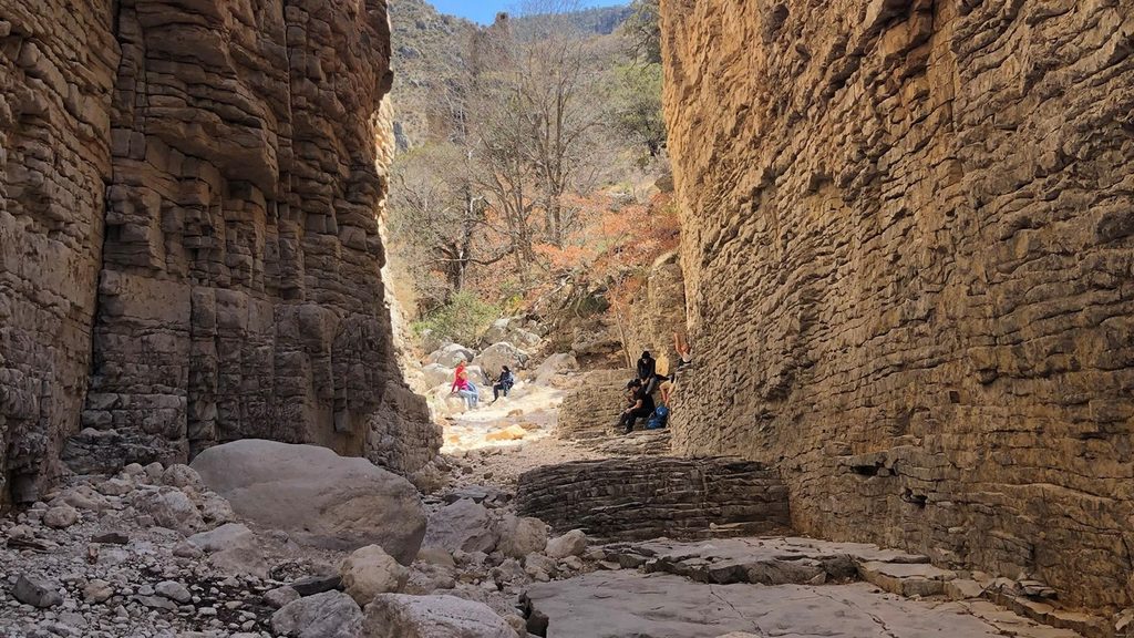
The Guadalupe Mountains are the uplifted remains of an ancient fossil reef, with porous limestone, gypsum, and calcite that helped form extensive cave systems to the north. Up high, you’ll sample a sky-island ecosystem with pines (including Ponderosa) more typical of cooler climes. Wildlife sightings can include lizards, mountain sheep, and rattlesnakes—mind your steps, especially in warm months.
Spring and fall are prime: moderate temperatures, clearer air, and manageable sun. Summer brings intense heat and long exposed stretches that sap energy and water fast. Winter can be cold and very windy, with the possibility of ice or snow. Regardless of season, earlier starts beat the heat and buy you daylight. Crowds are light compared to popular trails—don’t expect much company.
No permit is required for day hiking. A wilderness/backcountry permit is required to stay at Bush Mountain Campground or any backcountry site. There’s no reliable backcountry water on this route. Pets are not allowed on backcountry trails in this park. If you’d like a shorter but busier objective, consider Guadalupe Peak; Bush Mountain is the quieter, longer, and more committing counterpart.
Park at the Pine Springs Trailhead lot; alternatively, start from Dog Canyon for the longer overnight approach.
Carry 4–5 liters per person; extreme heat/sun, strong winds, brushy/rocky tread with loose scree, rattlesnakes, no water or restrooms at the backcountry campground; permit required to camp.
Place · 0 mi away
Place · 0.1 mi away
Place · 0.4 mi away
Place · 0.4 mi away
Challenging · 0 mi away
Challenging · 0 mi away
Moderate · 0 mi away
Challenging · 0 mi away

Parkwolf Tour Guide
