Pros & cons
PROS
- Classic photo spot with mountain backdrop near the main hub
- Easy pull-off and parking right off US-62/180
CONS
- Wind and heat can be harsh, kicking up dust
- Light can be flat when the valley is in shade at sunrise/sunset
Overview
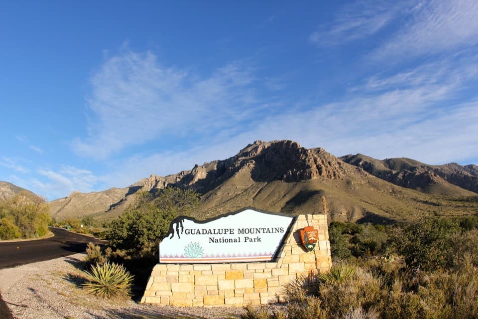
A quick but satisfying stop, the Pine Springs Entrance Sign sits just off US-62/180 by the park’s primary hub. It’s a sturdy, photogenic sign with the Guadalupe skyline behind it—some visitors even note the sign’s shape echoes the peaks. Because it’s right by the visitor center and trailheads, it’s the easiest place to grab your “we made it” shot before heading deeper into the park.
Photography Tips
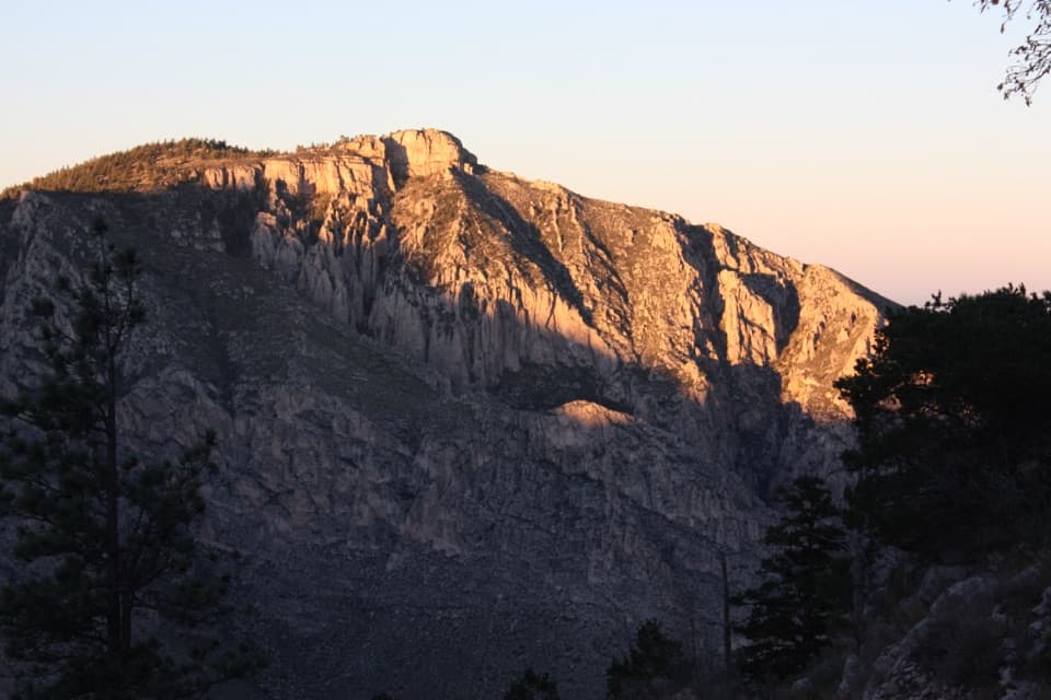
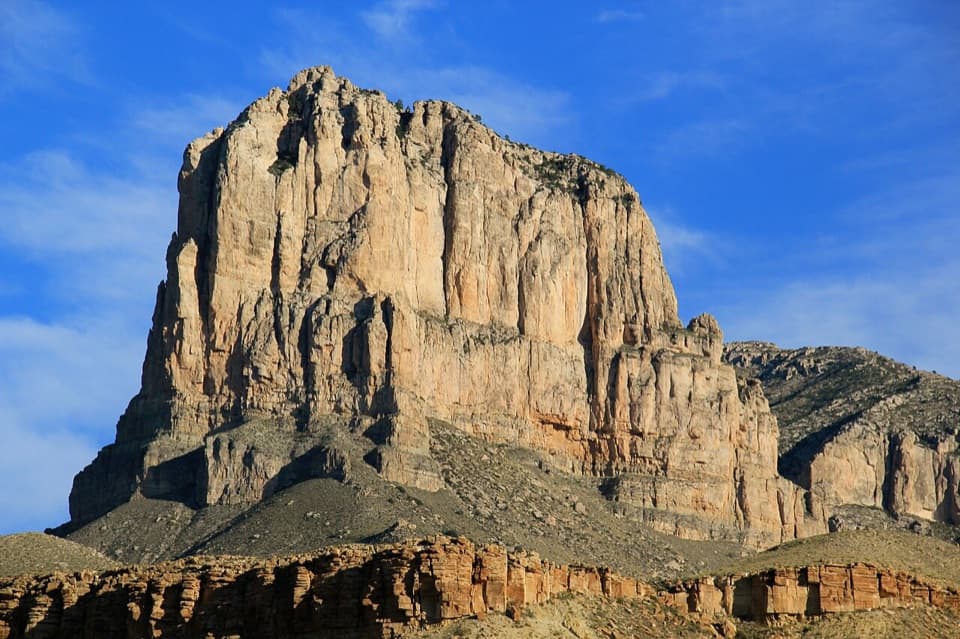
- For warm, directional light on El Capitan and the surrounding ridgeline, late afternoon is typically most flattering. The mountains cast long shadows, so very early or very late light can leave the foreground dull.
- It’s commonly windy here—secure tripods and expect dust. Summer is hot; bring water and a hat if you’re lingering for photos.
- If you want an alternate angle on El Capitan, there are roadside pullouts along US-62/180 outside the park with great side-light in the late day.
What It’s Near
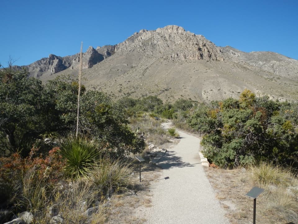
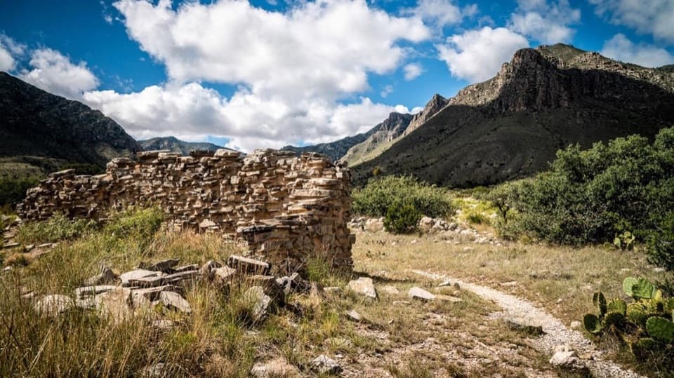
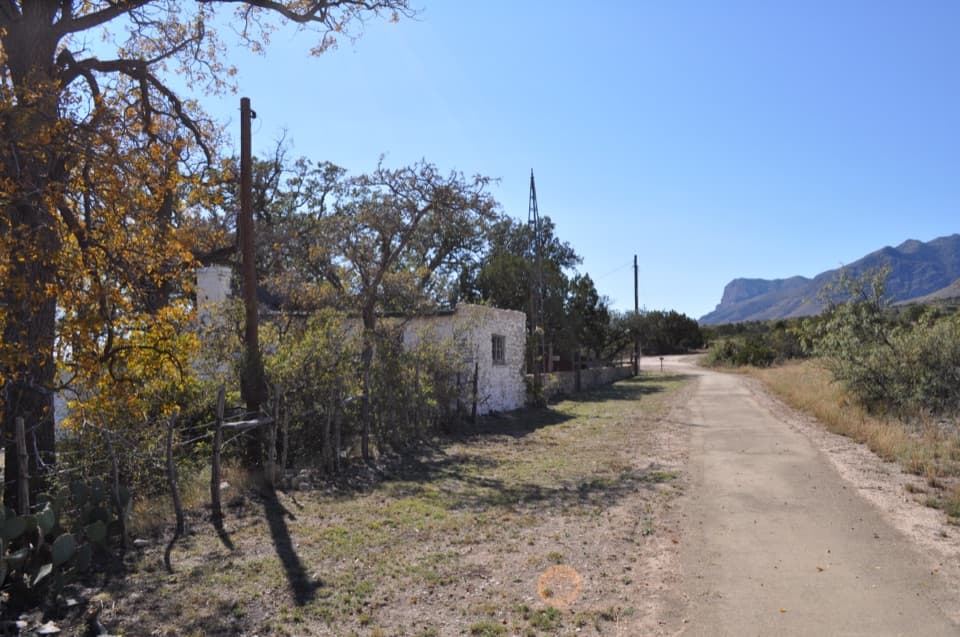
From this sign you’re steps from the Pine Springs Visitor Center, restrooms, and the short paved trail to The Pinery (ruins of a Butterfield stage station). Major hikes like Guadalupe Peak and Devil’s Hall start nearby, so the sign makes a convenient kickoff or capstone photo stop tied to a bigger day out.
Best Time to Visit
- When: Late afternoon for the best light; weekdays are typically quieter.
- Crowds: This isn’t a high-crowd stop by national park standards, but the visitor center area is compact and can feel busy in peak seasons (spring and fall).
- Logistics: Visitor center hours can be shorter than you expect—don’t count on amenities late in the day. After-hours, it’s still an easy pull-in for a quick photo.
Practical Notes
- The sign is right next to the highway—watch for fast-moving traffic when pulling in and out.
- If parking right at the sign is cluttered, use the visitor center lot and walk over.
- There’s another, larger park sign about 3.3 miles east on US-62/180 if you want a second option.
Is It Worth It?
Yes—if you like collecting entrance-sign shots or want a fast, scenic marker of your trip. It’s a classic, easy win that pairs naturally with a restroom stop, grabbing maps, or launching into a nearby hike.
Where it is
31.8931, -104.8210Tips for Guadalupe Mountains National Park Entrance Sign (Pine Springs)
- 01Late afternoon light flatters the sign and El Capitan backdrop.
- 02Expect wind; stabilize your tripod and protect gear from dust.
- 03If space is tight, park at the visitor center and walk over.
- 04Prefer a bigger sign photo? There’s another about 3.3 miles east on US-62/180.
- 05Watch highway traffic when pulling in and out for a quick shot.
Amenities
Near Guadalupe Mountains National Park Entrance Sign (Pine Springs)
All places →All trails →
0.1 mi awayPinery TrailPaved desert walk to 1858 stage station ruins and mountain viewsEasy · 0.8 mi · 30 min
0.1 mi awayButterfield Stage Ruins TrailEasy paved stroll to the evocative ruins of an 1858 stage stopEasy · 0.8 mi · 30 min
0.1 mi awayPine Springs Picnic AreaConvenient picnic spot beside the main trailheadsRestroom · Parking
0.1 mi awayPine Springs Visitor CenterPark HQ for maps, permits, water, and trailhead intelVisitor Center · Restroom
0.2 mi awayThe PineryShort walk to evocative Butterfield stagecoach station ruinsExhibit · Parking
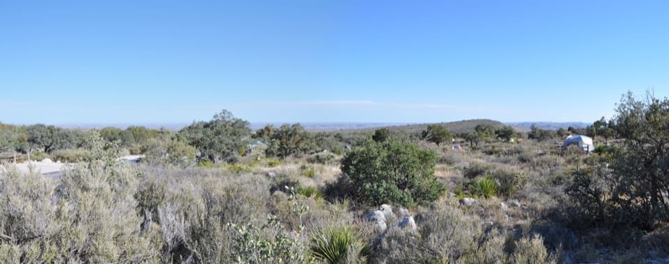
0.3 mi awayPine Springs CampgroundTrailhead-side basecamp with basics, high winds, and big viewsCampground · Restroom
0.5 mi awayGuadalupe Peak TrailStrenuous climb to the Top of Texas with sweeping desert viewsChallenging · 8.4 mi · 7 hr
0.5 mi awayHunter Peak via Bear Canyon and Tejas LoopSteep climb, huge views, and cool pine forests in one loopChallenging · 8.7 mi · 7 hr