
Place · 0 mi away
Challenging
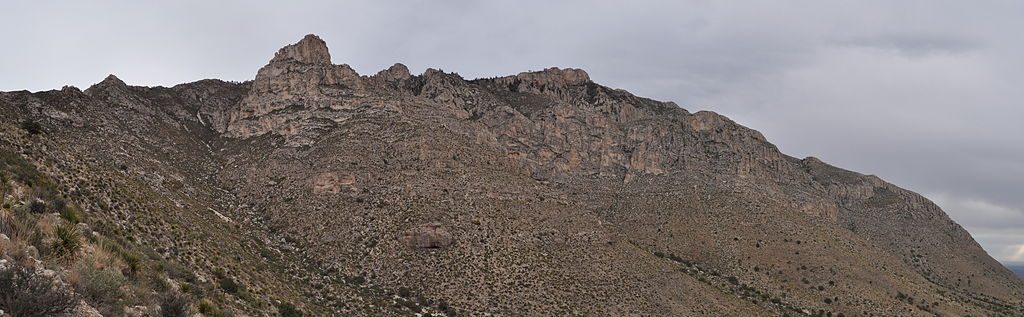
This classic summit loop serves up the park’s best bang‑for‑your‑legs: a stout climb, big‑sky vistas, and a surprise stroll through high‑country pines. It’s a strenuous 8.7‑mile total loop with roughly 2,700 feet of gain, commonly done in 6–8 hours. Expect a tough ascent, a breezy rim, and a quieter scene than the crowds on Guadalupe Peak.
Start at the Pine Springs area and warm up on the Frijole Trail to the Bear Canyon junction. Ascend Bear Canyon (the crux), traverse the rim through the Bowl’s sheltered forest, take the short spur to Hunter Peak, then return to the Bowl Trail and descend the Tejas Trail back to Pine Springs. Rangers recommend up Bear Canyon and down Tejas: Bear Canyon gains ~2,000 feet in under 2 miles on tight, rocky switchbacks; Tejas loses that elevation over about twice the distance and is kinder on knees.
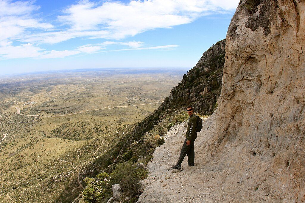
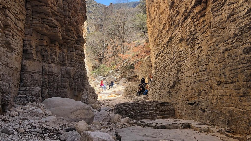
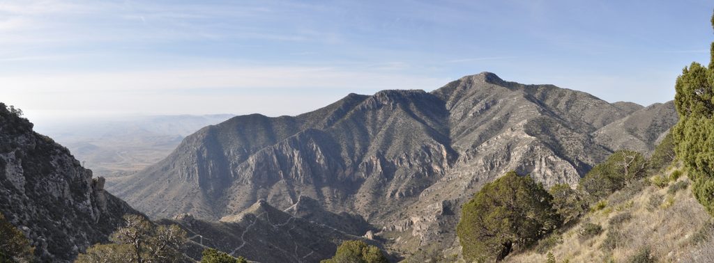
Bear Canyon is steep, rocky, and exposed in places; trekking poles earn their spot here. Once on the rim, the trail slips into the Bowl’s cool pine forest with a different feel—shaded, calmer, and sometimes overgrown with occasional downed trees. The summit spur to Hunter Peak delivers sweeping desert views to the south, the Bowl to the north, and a head‑on look at Guadalupe Peak across Pine Springs Canyon. It can be very windy on the rim and summit. There is no water on route—carry everything you’ll need. Navigation is straightforward on this loop, but expect rocky tread throughout.
Year‑round with caveats. Spring is often windy on the rim; summer brings heat and possible monsoon storms—start at first light. In winter, shaded switchbacks can hold ice; traction can be wise after cold snaps. Calm fall days offer some of the most pleasant conditions. Regardless of season, start early to beat sun and wind, and to give yourself time for the long descent.
You’re walking through one of the world’s best‑preserved fossil reef systems: the ancient Capitan Reef from the Permian period. Massive limestone cliffs in the range represent the reef and forereef, while sandstones and shales (Brushy Canyon and Cherry Canyon formations) record deep‑water channels that once cut into the basin beyond the reef. Near the higher country, well‑bedded limestones (Tansill Formation) reflect shallower back‑reef deposition. In short: those airy cliffs and gray limestones aren’t just pretty—they’re a 260‑million‑year‑old reef lifted and tilted into the sky.
If you want the same panoramic payoff with more miles, you can expand into a larger Bowl circuit. If you want the park’s most famous summit, Guadalupe Peak is right across the canyon—but Hunter Peak’s views and solitude often win the day.
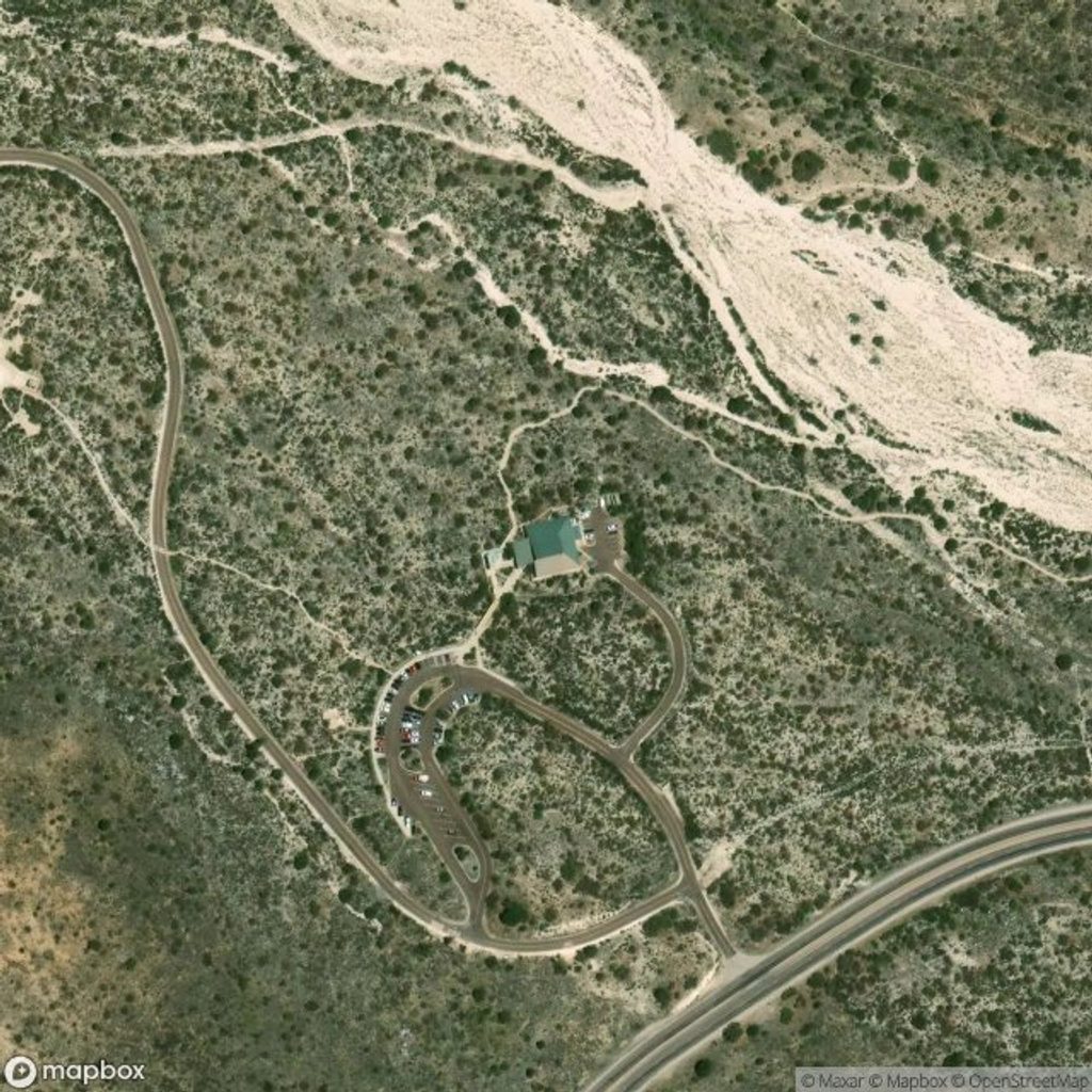
Park at Pine Springs Trailhead by the visitor center/campground; the loop begins via the Frijole Trail toward the Bear Canyon junction.
No water on route; carry 3–4 liters per person. Expect steep, loose footing on Bear Canyon, strong rim winds, full sun exposure on canyons, and possible winter ice on shaded switchbacks. Poles recommended; start early.
Place · 0 mi away
Place · 0.1 mi away
Place · 0.4 mi away
Place · 0.4 mi away
Challenging · 0 mi away

Challenging · 0 mi away
Moderate · 0 mi away
Challenging · 0 mi away

Parkwolf Tour Guide
