
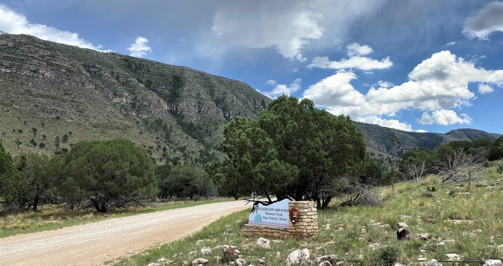
Place · 0.1 mi away
Challenging
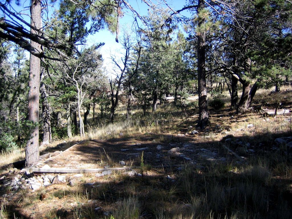
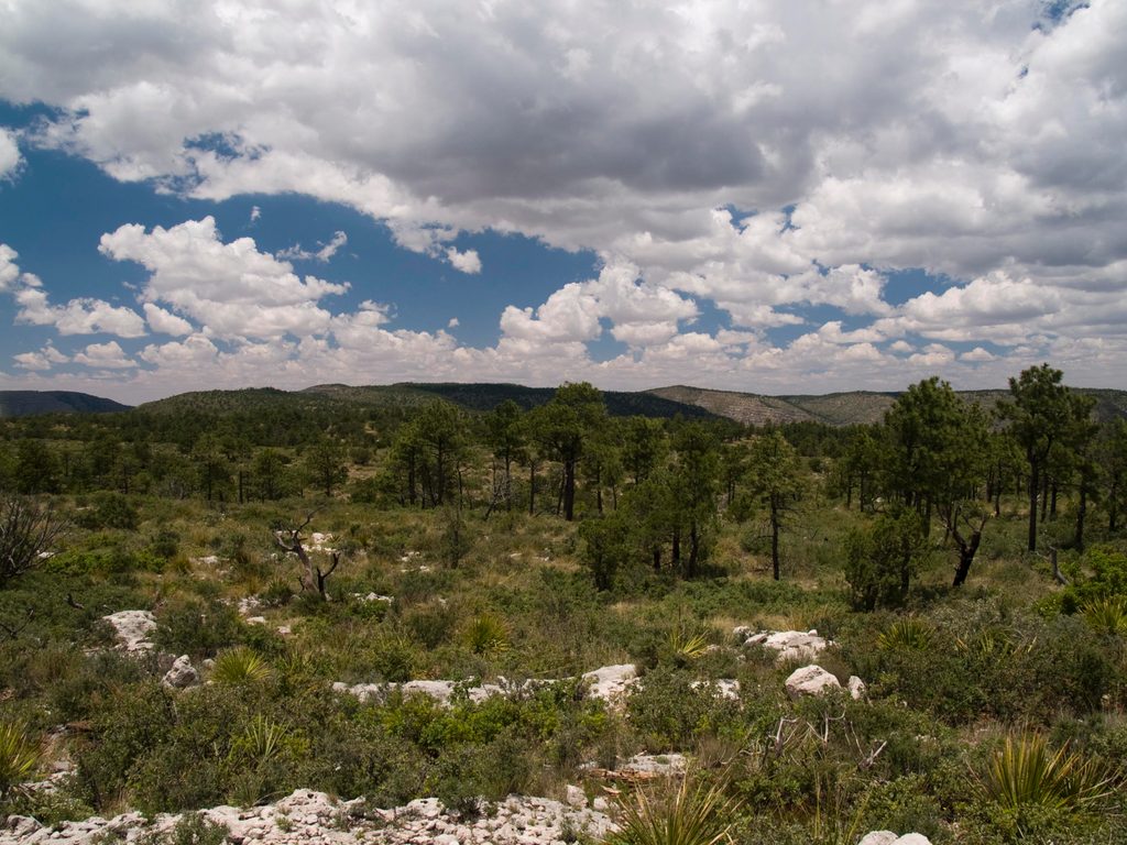
Blue Ridge is a high, exposed ridgeline connector in the park’s upper country—think long horizon lines, big drop-offs to the desert, and steady wind. Most hikers experience it as part of a strenuous 15.9-mile loop that links Bush Mountain and Blue Ridge (some report closer to 17 miles). Expect a remote feel and panoramic views that many consider on par with the park’s headline peaks. The loop typically starts and ends at Pine Springs and takes around 9 hours for strong day hikers with light packs.
If you’re backpacking to the ridge, you can reach the Blue Ridge Camp via two main approaches from Pine Springs: 7.8 miles via Tejas + Blue Ridge, or 8.9 miles via Tejas + Bush Mountain + Blue Ridge. Some parties also traverse from McKittrick Canyon up to McKittrick Ridge, then use Blue Ridge to reach the Bush Mountain/Bowl area and descend to Pine Springs—plan a vehicle shuttle if you go point-to-point.
This is a hard undertaking with about 4,199 feet of elevation gain on rugged, rocky tread. The ridge is windy and exposed; gusts can be severe and footing can feel chattery in places. Start early, use trekking poles, and be prepared for heat and afternoon storms in warm seasons. The reward is superb ridge walking and quiet wilderness character, but it’s an honest day.
There are no natural water sources in the backcountry here—plan to carry everything. The park advises one gallon per person per day, and most hikers stage from visitor center spigots (Pine Springs, McKittrick, Dog Canyon). Backcountry camping is allowed only at designated sites; Blue Ridge Camp is a primitive, waterless option with a handful of designated tent sites. Fires (wood/charcoal) are prohibited. Day hiking requires no permit; overnight trips require a free wilderness permit picked up in person before you go.
Time your ridge travel for cooler temps and steadier weather: early starts help beat heat and winds, and deliver better light across the desert. Spring Break crowds concentrate on the park’s signature trails, but Blue Ridge typically stays quiet. In warm seasons, plan around afternoon storms; in shoulder seasons and winter, expect frequent strong winds and chilly ridge exposure.
Bring a detailed topo map and do your own route planning—rangers provide guidance but won’t plan trips for you. Pets aren’t allowed on park trails. If you’re linking different trailheads, arrange a self-shuttle; rideshares are unreliable this far out.
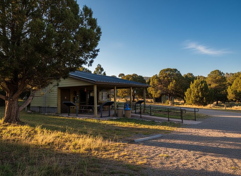
Park at the Pine Springs Trailhead lot by the visitor center; most parties start the loop here. For McKittrick-to-Pine Springs traverses, arrange a vehicle shuttle in advance.
Fully exposed ridgeline with potentially severe winds, rocky footing, and no natural water; carry all water and secure an overnight permit if camping.
Place · 0.1 mi away
Place · 0.1 mi away
Place · 0.1 mi away
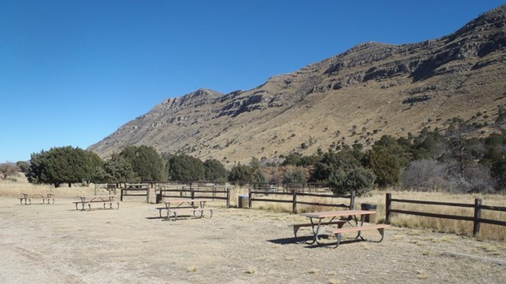
Place · 0.1 mi away
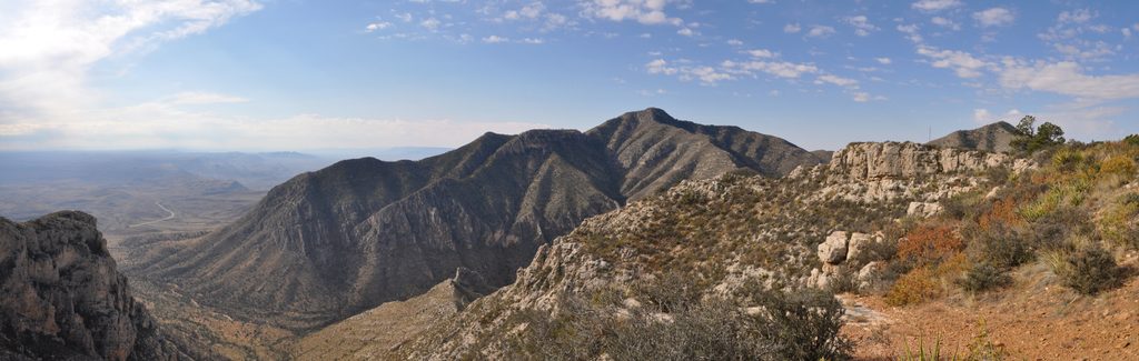
Challenging · 0 mi away
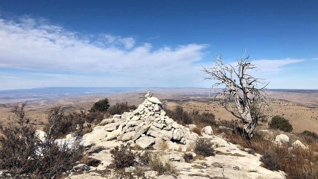
Moderate · 0.1 mi away
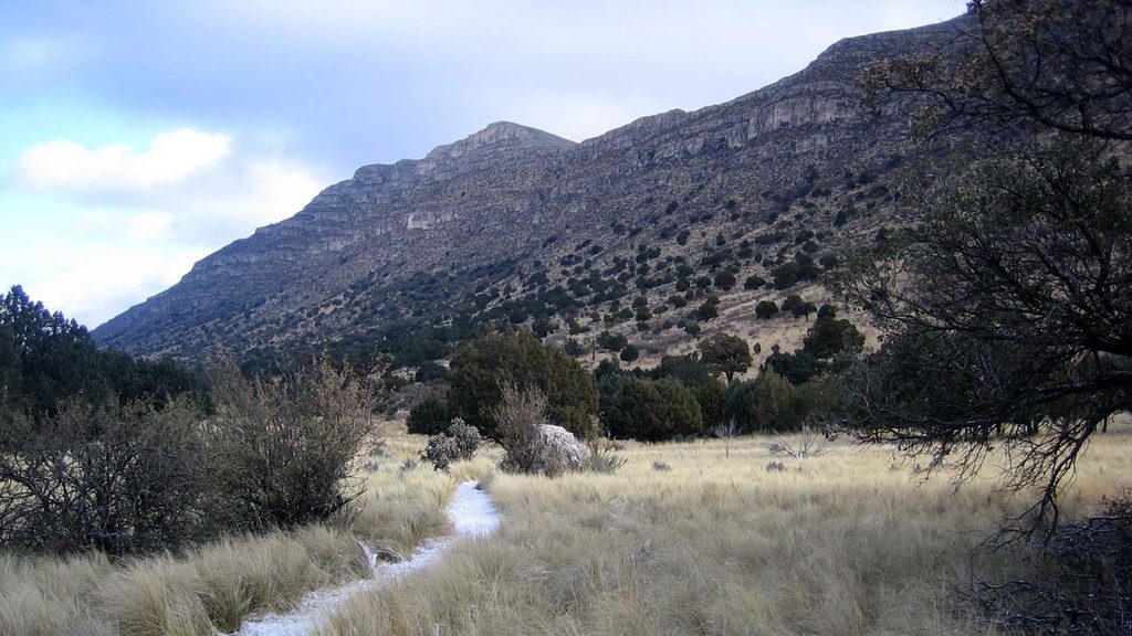
Easy · 0.1 mi away
Challenging · 5 mi away

Parkwolf Tour Guide
