Parking
Start at the Pine Springs Trailhead parking area beside Pine Springs Campground; follow Tejas to Pine Top, where the Bowl circuit begins.

#10 of 32 trails in Guadalupe Mountains
Guadalupe Mountains National Park, TX
A long Tejas climb reaches a remnant forest in the high country.
Overview
Bowl Trail is an 11.0-mile lollipop loop from Pine Springs: follow Tejas 3.7 miles uphill to Pine Top, hike the 3.6-mile Bowl circuit, then return 3.7 miles on Tejas. Allow about 8–10 hours. The reward is a long climb into the park’s high country, views over Pine Springs and Bear canyons, and a descent through a dense remnant forest. This is a hard, full-day mountain hike; the 3.6-mile figure describes only the loop above Pine Top, not the entire walk from the trailhead.
 Parkwolf’s verdictIs this the hike for you?
Map & elevation
Plan your hike

The highest, rockiest slopes around here are a summer buffet for grizzly bears.
Guadalupe Mountains Tour Guide
Parkwolf is a GPS audio tour guide for Guadalupe Mountains National Park. As you drive, it chimes in with what’s ahead: hidden gems, upcoming stops, history, geology, and wildlife, right through your car’s speakers.
Recorded for this trailhead
Pine Springs: The Guadalupe Peak Climb“You're nearing Pine Springs Trailhead, where the climb to Guadalupe Peak begins.”
Plays as you drive up to this trailhead in the Parkwolf Guadalupe Mountains Tour Guide.
More stories near here in the app
“Fantastic app with many points of information… It’s great to just turn on while you’re driving and it gives you an audio tour of the national Park. We love it!!!!”


Trail guide
Start at Pine Springs Trailhead and follow Tejas north. It begins through a pale rocky wash among desert grasses and cacti, then climbs toward the ridge in increasingly steep switchbacks. As the slope gains height, the open desert gives way to taller trees and broad views back over Pine Springs Canyon. The climb to Pine Top is 3.7 miles; remember that the same trail is the way back down after the loop.
At Pine Top, turn onto the Bowl route. Its 3.6-mile circuit crosses the escarpment above Pine Springs and Bear canyons, then descends into the Bowl before climbing back toward the ridge near Pine Top. The route passes the Hunter Peak area, the Bear Canyon junction and the Juniper junction. At Bear Canyon, stay with the Bowl route toward Juniper; dropping down Bear Canyon or continuing on another connector creates a different, longer hike. After the loop, return to Pine Springs on Tejas.
The Bowl is a dense remnant forest tucked into the high country. Pines and deciduous trees make a sharp change from the dry slopes below, and ranch-era water-system remains can be spotted beside the trail. Deer and elk may appear in the Bowl, though wildlife is never guaranteed. On the open escarpment, look back toward the two canyons; framing a stretch of ridge trail in the foreground gives a photo more sense of height than a view of the distant peaks alone.
Bring water for the whole route: there is no reliable drinking water in the high country. Pine Springs has water and restrooms near the start, but no dependable source lies along the loop. This is a wilderness route with little cell reception, so plan the return before leaving the trailhead. Pets are not allowed on this trail. A wilderness permit is required if you camp overnight; this itinerary is a day hike.
A short spur branches toward Hunter Peak and adds a separate summit view; it is not included in the saved 11.0-mile line. If you take it, retrace the spur to rejoin the Bowl circuit and allow extra time.
Wildlife
 33 sightingsAoudadMost seen around 6 AMSighting map
 163 sightingsMule DeerMost seen around 6 AMSighting map
 11 sightingsWild TurkeyMost seen around 7 AMSighting map
 34 sightingsCollared PeccaryMost seen around 7 AMSighting map
 39 sightingsDiamondback RattlesnakeMost seen around 6 PMSighting map
 43 sightingsBlack-tailed RattlesnakeMost seen around 7 PMSighting map
Sighting maps show where each species has been reported across Guadalupe Mountains. Wildlife moves, so no sighting is guaranteed.
Keep exploring
 ChallengingHunter Peak Loop8.7 mi · 7 hr · At the trailheadBear Canyon up, Tejas down, and a summit over the desert.
 ChallengingDevil's Hall Trail4.2 mi · 4 hr · At the trailheadBoulder scrambling leads to a natural staircase and narrow canyon hall.
 ChallengingSalt Basin Overlook Trail11.3 mi · 8 hr · At the trailheadA long, open loop to the Salt Basin’s wide western views.
 ChallengingBush Mountain Summit Hike13.3 mi · 8.5 hr · At the trailheadA long ridge hike to Texas’s second-highest summit.
 ChallengingTejas Thru Hike11.8 mi · 8 hr · At the trailheadCross the park’s high country from the Bowl to Dog Canyon.
 ChallengingPine Springs to McKittrick Canyon18.8 mi · 14 hr · At the trailheadA long high-country traverse ending in South McKittrick Canyon.
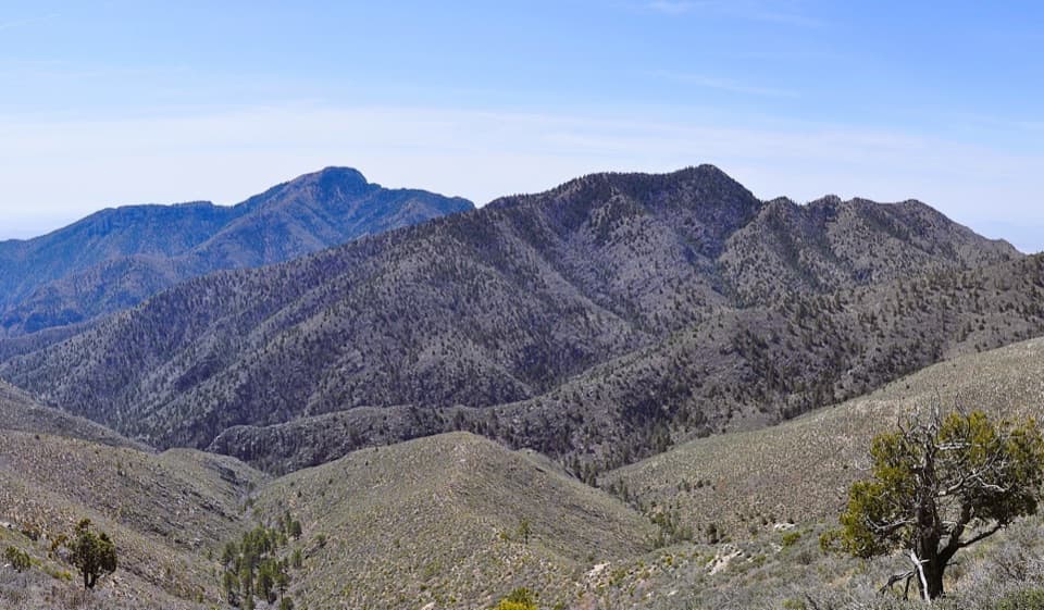 ChallengingBush Mountain–Blue Ridge Loop16.2 mi · 10.5 hr · At the trailheadA full-day ridge loop crosses Texas’s second-highest summit.
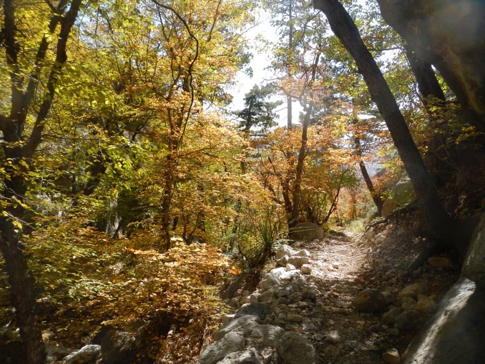 ChallengingBear Canyon–Juniper–Tejas Loop11 mi · 7.5 hr · At the trailheadSteep Bear Canyon, the Bowl's remnant forest, and a long Tejas return.
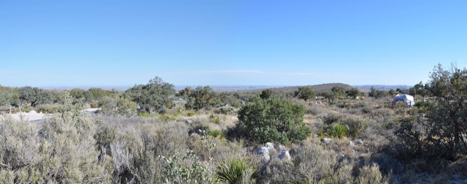 Campground · 0.1 mi awayPine Springs CampgroundA practical hiking base with tent sites, RV space, and mountain views.
 Visitor center · 0.4 mi awayPine Springs Visitor CenterStart here for permits, maps, and advice before your hike.
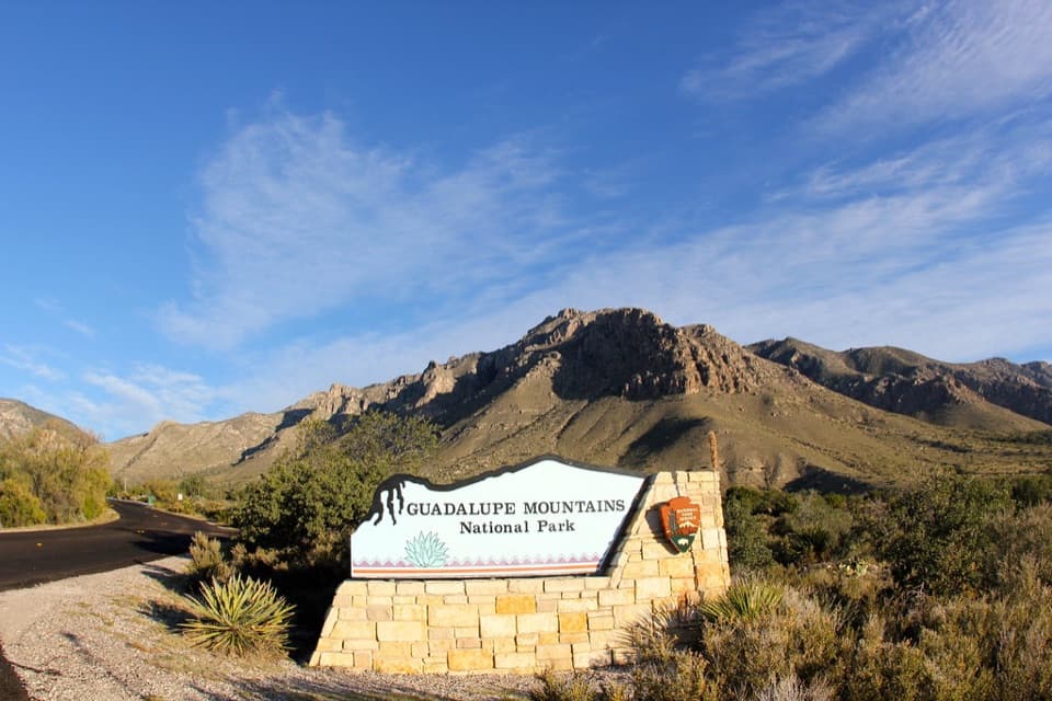 Sight · 0.5 mi awayGuadalupe Mountains National Park Entrance Sign (Pine Springs)A quick entrance photo with Hunter Peak behind the sign.
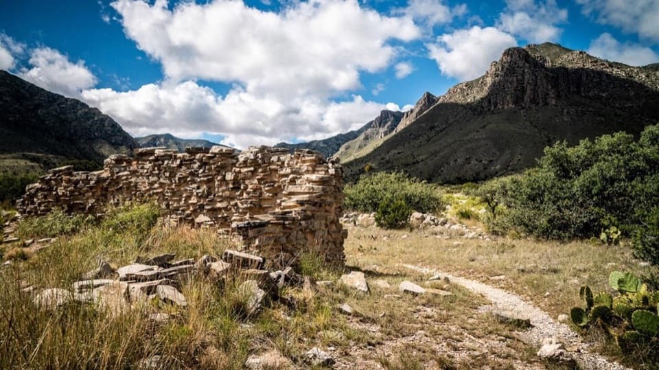 Sight · 0.6 mi awayThe PineryAn easy walk to the Butterfield route's highest station.
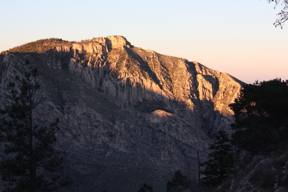 Sight · 1.2 mi awayHunter PeakA full-day climb to broad views from Texas’s sixth-highest peak.Sight · 1.4 mi awayDevil's HallA strenuous boulder scramble ends at a narrow limestone hallway.
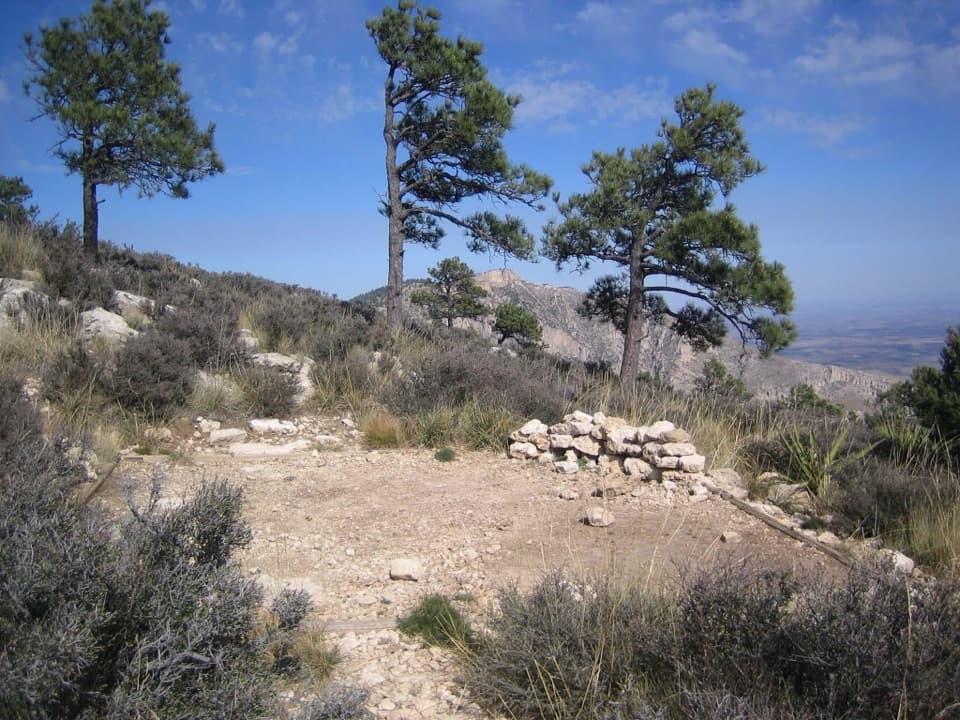 Campground · 1.4 mi awayGuadalupe Peak Wilderness CampgroundOvernight on the steep climb to Guadalupe Peak.
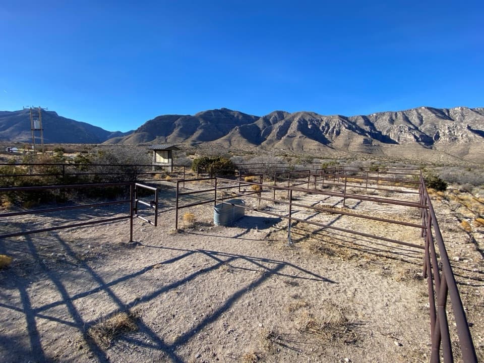 Campground · 1.7 mi awayFrijole Horse Corral CampgroundHorse camping with a clear view of the park's high peaks.
Parkwolf’s Guadalupe Mountains ranking
The audio tour guide for the drive, plus offline maps, trails, and wildlife heatmaps for when the signal drops.



