
Place · 0 mi away
Moderate
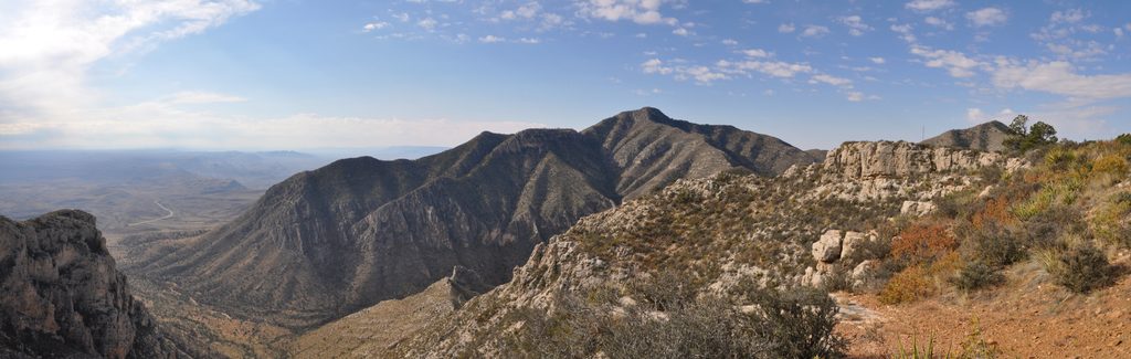
This is the park’s quieter ridgeline hike from Dog Canyon to the Lost Peak saddle, with expansive desert and canyon panoramas and a chance to stand on a summit if you’re comfortable going off trail. The official day hike is an out-and-back on the Tejas Trail to the saddle: 6.4 miles total with about 1,386 feet of elevation gain, typically taking 3–6 hours. It’s rated moderate, but the ridge can be windy and the surface is rocky.
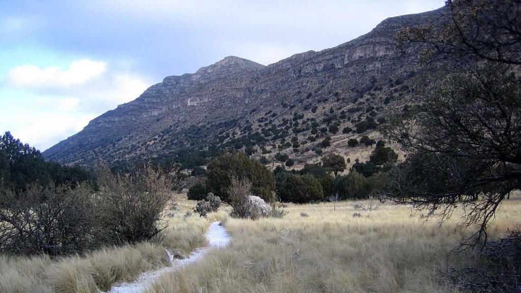
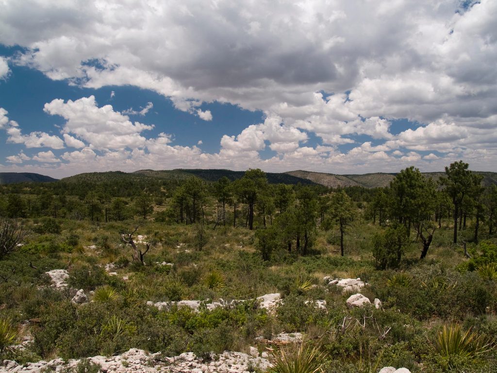
From the Dog Canyon Trailhead, the Tejas Trail climbs steadily through open grass and scattered trees before gaining a broad ridge. About a little over 3 miles in, you’ll reach a hitching post at the Lost Peak saddle—this is the turnaround for the standard hike. Expect firm rock and loose rock underfoot, with a trail width that varies from roughly two to six feet; trekking poles help on the descent.
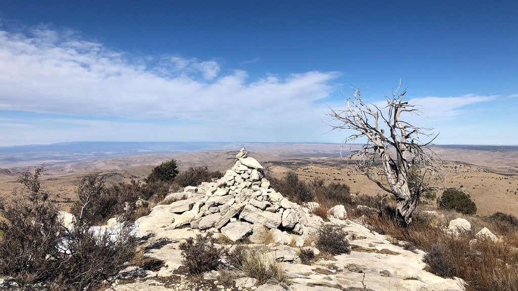
There is no maintained trail to the true summit of Lost Peak. Many hikers make a short, off-trail detour from near the saddle where the Tejas begins to descend. Look for a subtle spur and small cairn; from there it’s a brief, rocky climb with light bushwhacking to a large cairn on top. Navigation skills are important—download an offline map and wear long pants if you plan to tag the summit.
The reward here is solitude and wide-open views without the crowds of the park’s marquee peak. You’ll be walking on the exhumed edge of the ancient Capitan Reef—a Permian-age fossil reef uplifted and carved into today’s cliffs and ridges. In the limestone, keep an eye out for fossil textures from sponges and other reef builders. Wildlife in this area can include rattlesnakes, deer, foxes, and the occasional black bear.
Winter, spring, and fall are the sweet spots. Ridges are often windy from November through March, and summer heat can make the exposed sections punishing—start early and carry plenty of water. Weekdays see very light traffic, especially given the long approach to Dog Canyon.
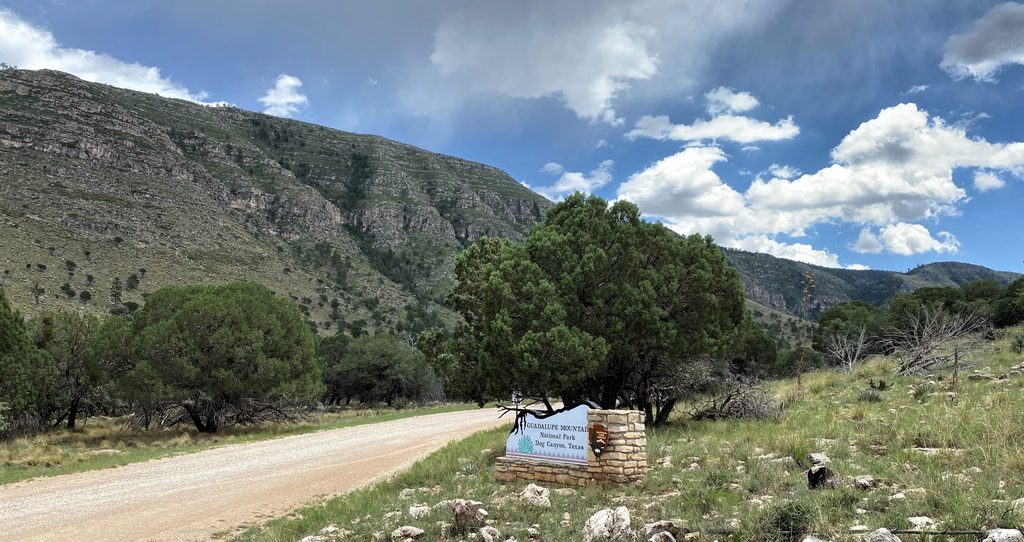
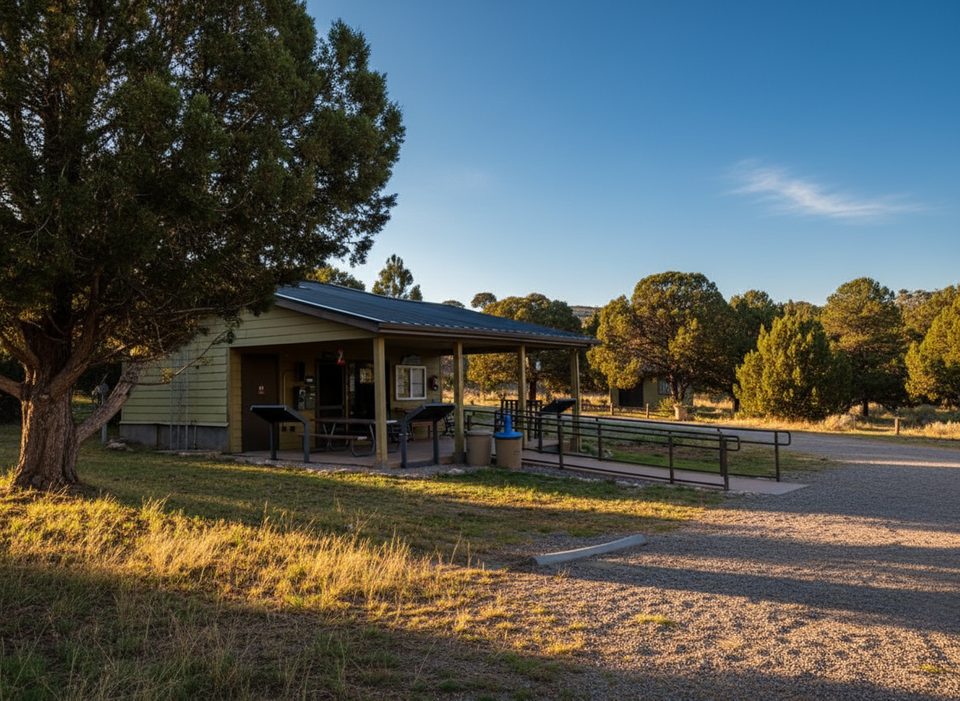
Parking and restrooms are at the Dog Canyon trailhead. No day-use permits are required, but a park entrance fee applies. Pets are not allowed on this trail. If you want a bigger day and more variety, experienced hikers sometimes link a longer loop using Tejas, McKittrick Canyon, Blue Ridge, and Marcus Trails, but it’s more committing—carry extra water and start early.
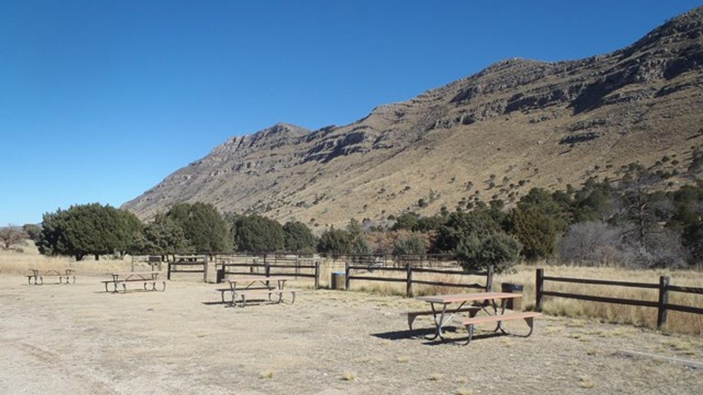
Park at the Dog Canyon Trailhead/Campground; restrooms available at the trailhead.
Unmarked summit spur; rocky footing and frequent ridge winds. Summer heat exposure; carry ample water. No pets allowed.
Place · 0 mi away
Place · 0 mi away
Place · 0 mi away
Place · 0 mi away
Easy · 0 mi away
Challenging · 0.1 mi away
Challenging · 0.1 mi away
Challenging · 4.9 mi away

Parkwolf Tour Guide
