
Place · 0 mi away
Challenging
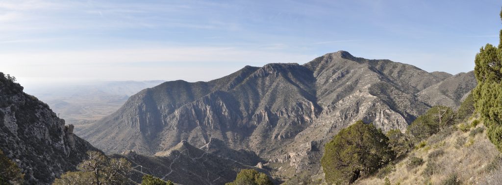
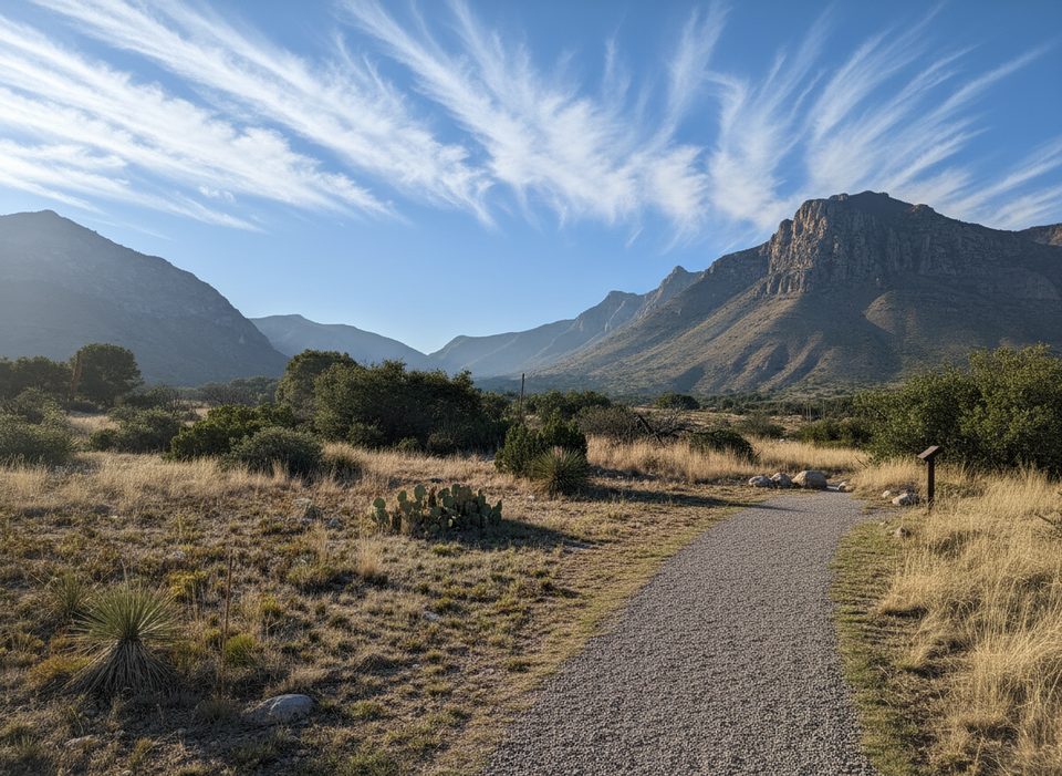
The Tejas Trail is Guadalupe Mountains’ north–south backbone, running 11.8 miles one way between Pine Springs (south) and Dog Canyon (north). It’s rated strenuous with about 3,000 feet of cumulative elevation change and typically takes 7–9 hours one way. Expect a true sampler of the park’s life zones: Chihuahuan Desert scrub low, pinyon–juniper and ponderosa in the high-country “Bowl,” then open grasslands toward Dog Canyon. It’s rewarding and remote—exactly why many hikers love it—but the logistics and lack of water make it a serious undertaking.
Most hikers either backpack the full traverse in 1–2 nights or sample a section as a day hike. From the north, the Dog Canyon to Lost Peak saddle is a popular 6.4-mile round trip with big views and a quieter vibe; there’s no official trail to the actual summit, but a short, rocky pick-your-way from the saddle is common for the panorama. From the south, Tejas climbs from desert into the forested rim and connects to The Bowl and Hunter Peak, creating excellent loop options if you don’t want a full point-to-point. The trail also links with McKittrick Canyon and Blue Ridge, so you can build bigger itineraries if you bring the fitness and the logistics.
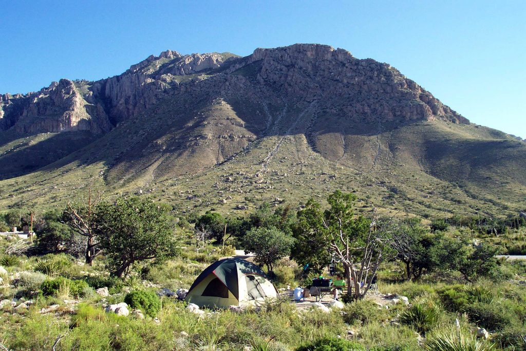
For a full traverse, the classic wilderness campgrounds are Pine Top, Tejas, and Mescalero. Backcountry permits are required for overnight camping. Given the elevation and exposure, a 1–2 night plan is the park’s recommended approach so you’re not racing daylight or heat.
There are no natural water sources on Tejas. Carry all you need—at least 3.5 liters per person for a one-way day, more in warm weather. There’s a bottle filling station at Pine Springs. Trails are generally well marked, but central sections can feel remote and occasionally overgrown; cell service is limited, so download an offline GPS map and bring a real topo. Expect strong winds on ridges, intense sun in warmer months, and possible snow/ice in winter. Wildlife you may encounter includes deer, foxes, black bears, and rattlesnakes—give all animals space and watch your footing in warm, rocky stretches.
There’s no park shuttle. The drive between Pine Springs and Dog Canyon is roughly two hours, so set up your own car shuttle or make it an out-and-back or loop from one side. Dogs aren’t allowed on park trails. If solitude matters to you, the Dog Canyon side usually sees fewer people.
Spring and fall bring the most comfortable temperatures. Late fall through early spring is generally best for big pushes or backpacking; summer heat and exposure can be punishing. Winter is doable but can be bitterly windy with occasional snow/ice at higher elevations. Start early for cooler temps and calmer winds, and go on weekdays if you want even more quiet.
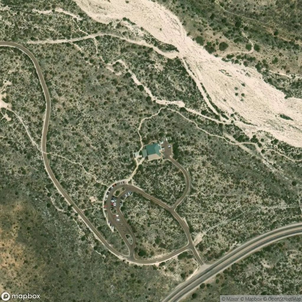
Park at Pine Springs Trailhead (south) or Dog Canyon Trailhead (north). For a point-to-point, arrange your own car shuttle—there’s no park shuttle and the drive between ends is about two hours.
Strenuous, exposed travel with strong ridge winds and possible winter snow/ice. No water on trail—carry all you need. Limited cell service; download offline maps. Central sections can be overgrown. Rattlesnakes and occasional black bears are present. No shuttle between trailheads.
Place · 0 mi away
Place · 0.1 mi away
Place · 0.4 mi away
Place · 0.4 mi away
Challenging · 0 mi away
Challenging · 0 mi away

Challenging · 0 mi away
Moderate · 0 mi away

Parkwolf Tour Guide
