
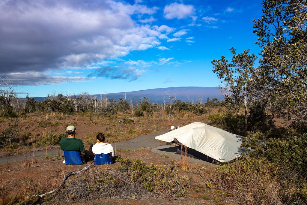
Place · 0.2 mi away
Challenging
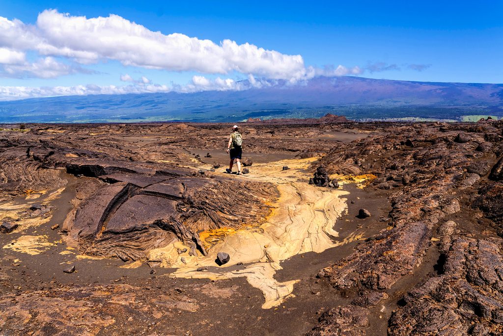
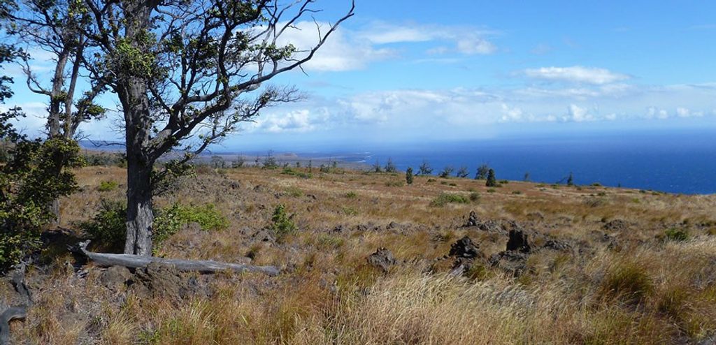
If you want raw volcano country with almost no people, Mauna Iki delivers. This route crosses the barren Kaʻū Desert—think moon-like lava flats, ash beds, and scattered cinder—on a primitive path marked by rock cairns. Expect huge horizons, silence, and a strong sense of remoteness.
Plan on about 10 miles total (out-and-back) with roughly 400 feet of rolling gain. Underfoot it’s jagged, uneven lava and cinder—slow going even when you feel great. The payoff is up‑close geology: volcanic cones (including Mauna Iki), older ash deposits, and contrasting flows—NPS specifically calls out the nearby 1974 lava as a visual highlight. Clear days bring wide views toward Kīlauea and Mauna Loa. Day hikers often use this corridor to reach features like Twin Pit Craters; some longer itineraries splice in the Footprints Trail area, where historic human footprints were preserved in ash after the 1790 eruption.
This is a true desert crossing with no water and essentially no shade. The route is cairn‑marked but not always obvious—fog or vog can drop in and make navigation tricky, so keep your eyes on the markers and don’t wander off. Sturdy boots with ankle support are the right call here; the lava is sharp and unforgiving.
Is it worth it? If you’re after solitude and geology, absolutely. It’s not a family stroll—the surface is rough, the sun is relentless, and there are no services. But for prepared hikers, it’s one of the park’s most distinctive experiences.
Tips: carry 2–3 liters of water per person and full sun protection. Pack real food; there’s nothing to buy along the way. Keep your party together and pay attention at every cairn—especially if visibility drops.
Best time to hike: Year‑round, but cooler, drier months (winter and spring) feel friendliest. Start at sunrise to beat the heat and for softer light on the lava textures. Midday can be brutal with zero shade. Crowds are minimal most days.
Access via Hilina Pali Road near Kulanaokuaiki Campground; park at the signed Mauna Iki trail access/roadside pullouts along the corridor.
Extremely uneven, jagged lava; no shade or water; remote setting. Route is cairn‑marked but can be hard to follow in fog or vog—carry ample water, sun protection, and pay close attention to markers.
Place · 0.2 mi away
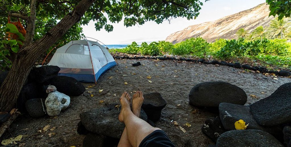
Place · 3.2 mi away
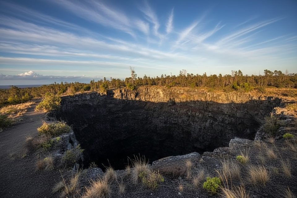
Place · 3.5 mi away
Place · 3.7 mi away
Challenging · 3.8 mi away
Challenging · 3.8 mi away
Challenging · 3.8 mi away
Challenging · 3.8 mi away

Parkwolf Tour Guide
