
Place · 4.7 mi away
Challenging
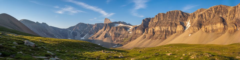
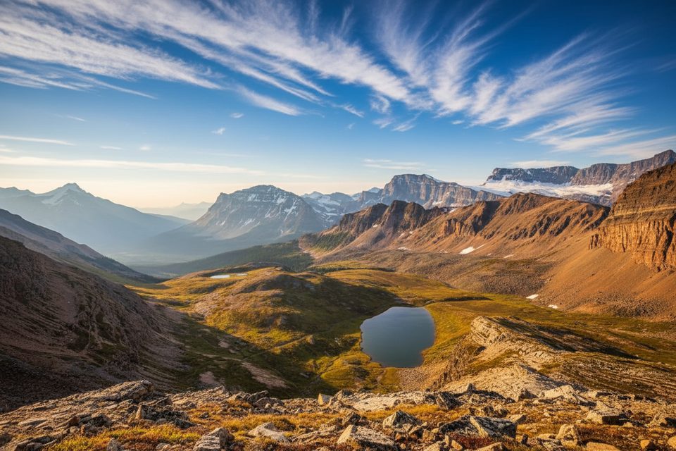
North Molar Pass is a classic, less-traveled objective off the Icefields Parkway that delivers expansive alpine scenery without the crowds. Starting across from Mosquito Creek Campground, the standard day hike is about 24 km (15 miles) total, out and back. Expect a full-day effort (plan 6–9 hours) with meaningful elevation and long stretches above treeline.
The first 8 km work steadily through conifer forest along Mosquito Creek, with occasional avalanche paths and alluvial fans breaking up the trees. Views begin to open to Dolomite Peak, Noseeum Mountain, Mosquito Mountain, and Ramp Peak as you enter broad meadows. In mid-summer, these alpine meadows light up with wildflowers—look for twinflower, yellow columbine, and white camas. You’ll negotiate occasional braided creek crossings (often on logs) and minor detours where snowmelt or high water has nibbled at the banks. A shallow, scenic Mosquito Lake makes a natural pause before the final, open approach to the pass, where you’re treated to classic Rocky Mountain drama: glaciated peaks, U‑shaped valleys, and big sky. Solitude is a signature here; you’re likely to share the meadows with wind and wildflowers rather than a crowd.
Mid-July through early September is prime. Early August is often peak wildflower season in the meadows. In June, expect lingering snow, muddy sections, and higher, colder creek crossings. By late September, early snow and sharp temperature swings are common. Above treeline, the pass is fully exposed—go on a stable-weather day.
This is a moderate-to-hard day by distance and exposure, not technical. Waterproof boots are strongly recommended for wet meadows and crossings. Bring a map or GPS: avalanche debris, snowmelt, or minor washouts can briefly obscure the tread. Standard bear-country practices apply, and stow gear securely—the Mosquito/Fish Lakes corridor is known for porcupines chewing salty items. Pack windproof layers and rain gear; conditions can flip quickly on the pass. Most hikers turn around at North Molar Pass, but there are backcountry campsites in the area if you’re linking into longer itineraries.
Park at the Mosquito Creek trailhead across from Mosquito Creek Campground on the east side of the Icefields Parkway, just north of the Mosquito Creek bridge.
Exposed, windy pass; seasonal snow, high water, and minor washouts can obscure the trail. Expect creek crossings and avalanche path debris. Porcupines may chew on salty gear—secure boots and poles at breaks and camp.
Place · 4.7 mi away
Place · 5.1 mi away
Place · 6.2 mi away
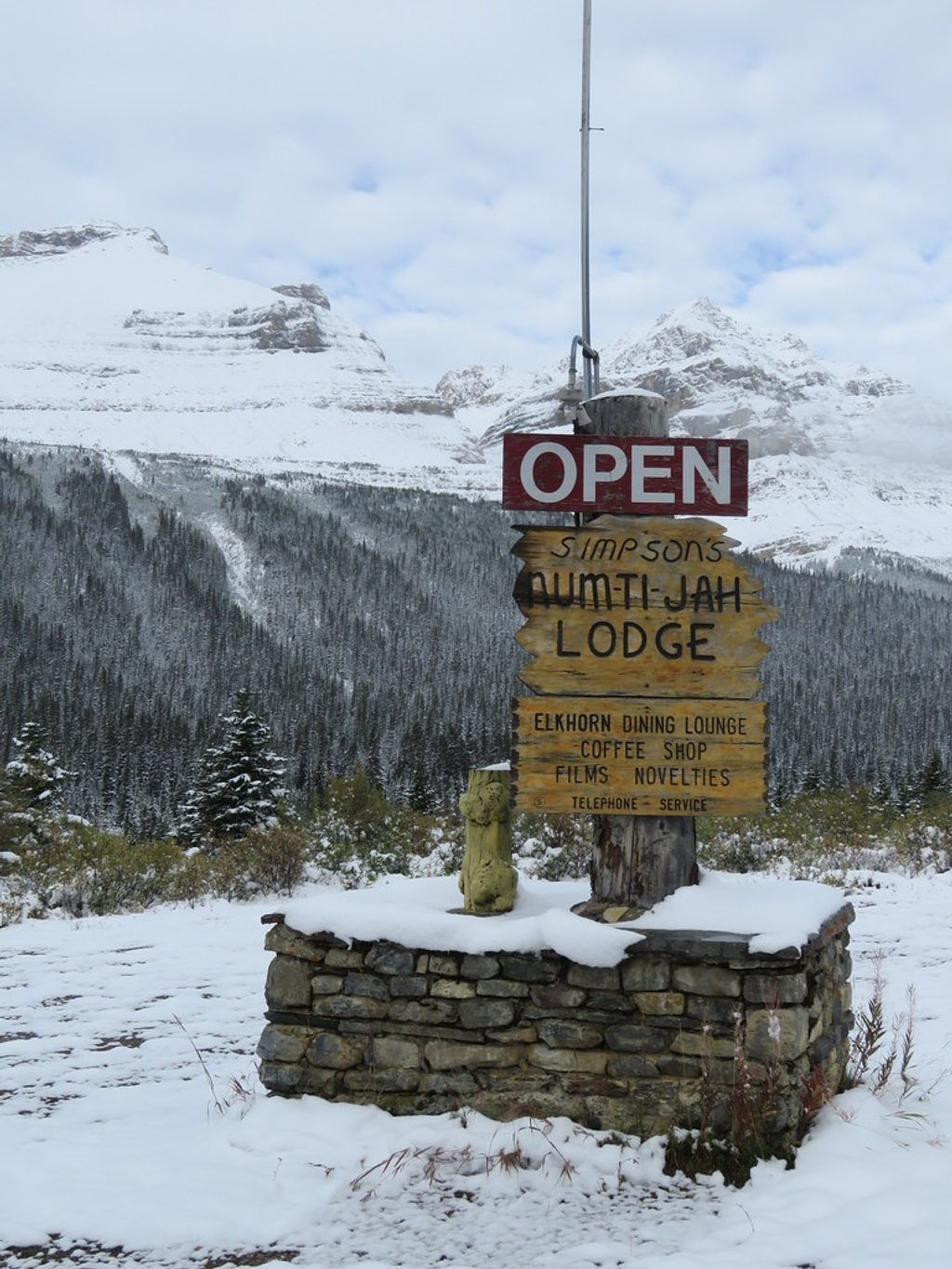
Place · 6.7 mi away
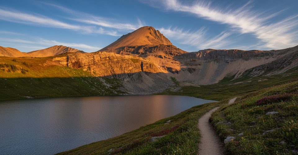
Challenging · 4.7 mi away
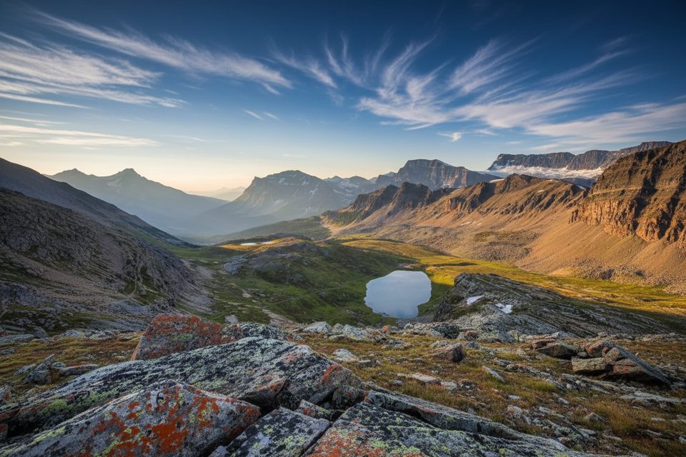
Moderate · 4.7 mi away
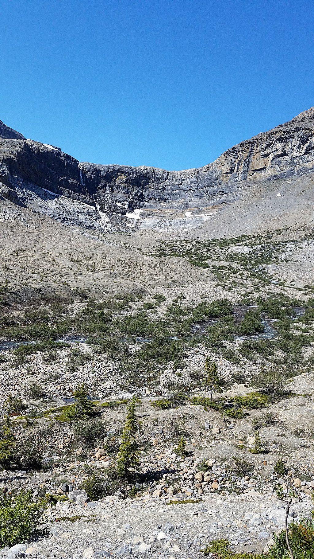
Moderate · 6.6 mi away
Easy · 9.4 mi away

Parkwolf Tour Guide
