
Place · 0 mi away
Moderate
A scenic 3.4‑mile loop that blends forested river corridor with open prairie, the Little Calumet River Trail delivers a lot in a short package: mature dune woods, a winding river, a marsh boardwalk/bridge, and a dose of local history near Bailly Homestead and Chellberg Farm. Most hikers will find it a moderate outing with only modest elevation (about 120 feet) but enough rolling terrain, steps, roots, and occasional mud to keep it interesting.
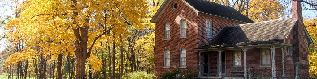
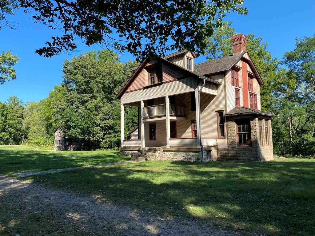
Expect deep shade through hardwoods, short ravines, shallow creeks, and stretches along the Little Calumet River. The loop contrasts nicely as it opens into Mnoké Prairie before tucking back into the woods. Historic buildings and farm landscapes bookend the experience and add context to the area’s settlement and farming past.
From the Bailly/Chellberg area, you’ll start on a paved connector before transitioning to natural surface. The loop crosses Howe Road, then works down toward the river. About 1.3 miles from the lot, stay right at an unmarked junction to remain on the main river route. Surfaces vary between dirt/forest floor, wood chips, and mowed grass; after rain, expect mud. There are small bridges and stairs, and you may encounter horseback riders on some sections.
Year‑round hiking works well here. Fall lights up the hardwoods and is arguably the best season. Spring brings bird activity and comfortable temps. Summer is lush and shady but buggy, and you’ll see more equestrian use. Winter quiets the crowds and reveals stark river views, though snow/ice can make footing slick. For fewer people, start early or later in the day.
You’re walking the former shorelines shaped by glacial Lake Chicago—today expressed as wooded dunes, riparian corridor, and prairie. Keep an ear out for frogs in wetter pockets and songbirds in both forest and prairie edges; hawks often patrol the open sections.
Yes—this is a compact, rewarding sampler of the park’s inland character. It’s not a dramatic dune‑to‑beach epic, but the river, prairie contrast, and historic setting make it a satisfying hour‑plus wander. If you want something more open‑dune/lakeshore focused, pick a beach‑side hike; for a shaded, nature‑and‑history loop, this one hits the mark.
Park at the Bailly/Chellberg area lot; start on the paved connector by the kiosk/restrooms, then pick up the natural‑surface loop. Facilities and picnic shelters are near the trailhead.
Watch for mud, slick stairs and roots after rain, and occasional downed trees. Yield to horses and give them space. You’ll cross Howe Road—mind traffic. There’s an unmarked junction about 1.3 miles from the lot; stay right to remain on the river loop. Note: difficulty formulas can underrate short, rooty, or muddy trails; a commonly referenced method is √(elevation gain × 2 × distance) as described by park resources [home.nps.gov](https://home.nps.gov/shen/planyourvisit/how-to-determine-hiking-difficulty.htm) and echoed in third‑party trail rating guides [rockymountainnationalpark.com](https://www.rockymountainnationalpark.com/gallery/essential-ratings/).
Place · 0 mi away
Place · 0.3 mi away
Place · 0.3 mi away

Place · 0.4 mi away
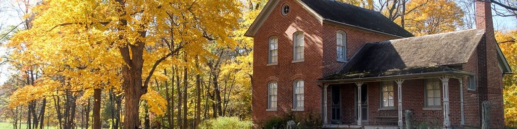
Easy · 0 mi away
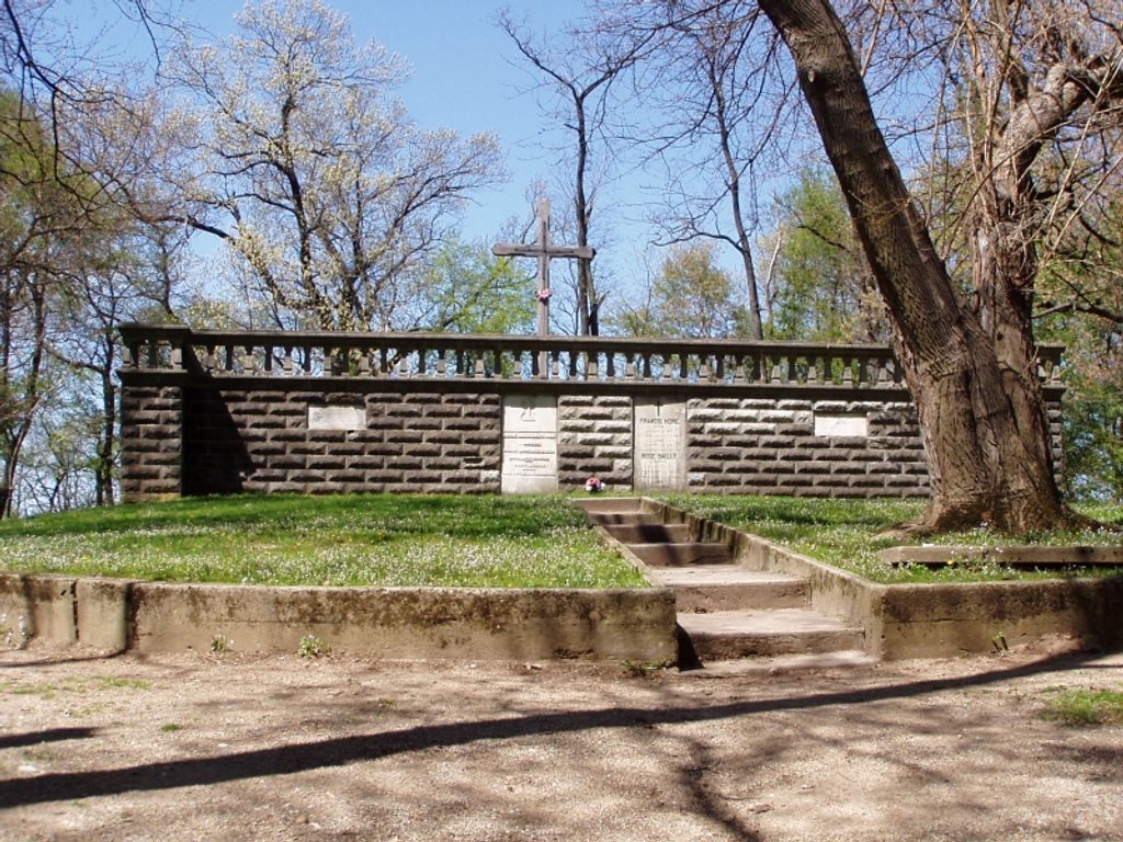
Easy · 0 mi away
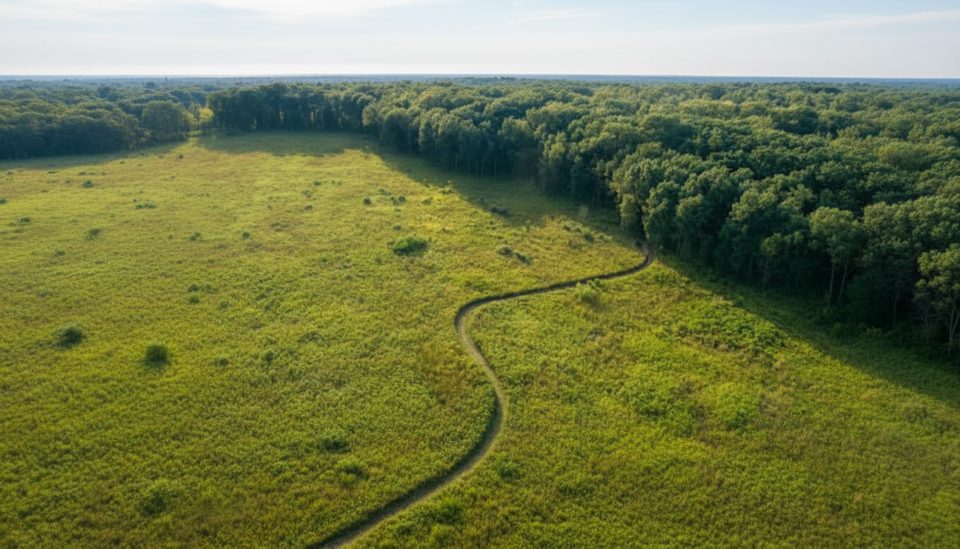
Moderate · 0.4 mi away
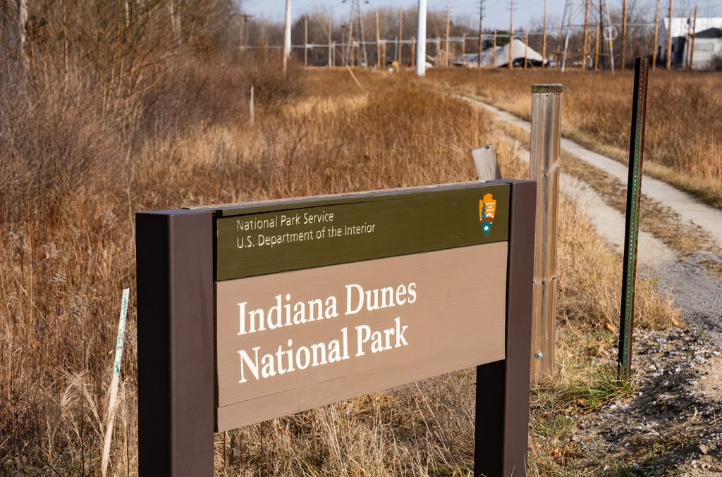
Easy · 0.9 mi away

Parkwolf Tour Guide
