
Place · 0.4 mi away
Easy
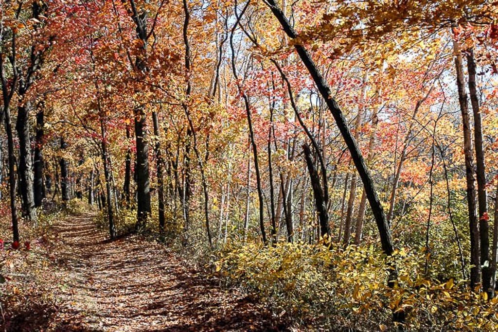
The Calumet Trail is a 9.1‑mile, point‑to‑point multi‑use path that parallels U.S. 12 and the South Shore Line along the south edge of the dunes. It’s flat, straightforward, and more about steady miles and marsh views than dune-top vistas. Expect crushed limestone and gravel underfoot, with some newly paved segments in recent years. Not wheelchair accessible.
This corridor threads wetlands, marsh edges, open dune pockets, and patches of forest just inland from Lake Michigan. Think cattails waving, wildflowers in season, and dragonflies and birds working the marshes. You’ll also share the corridor with power lines and the nearby rail line—a tradeoff for the long, uninterrupted stretches and easy navigation.
Surface is primarily crushed limestone/gravel—great for walking, jogging, and hybrid or mountain bikes, but narrow tires and wheelchairs struggle. After rain, expect large puddles and occasional standing water that can make sections messy or briefly impassable. Shade is scarce, so sun protection matters even on mild days. In winter, conditions vary; some folks ski it when snow and access cooperate.
At the west end, you’re near Cowles Bog—an 8,000‑year‑old marsh and National Natural Landmark. At the east, the corridor approaches Mount Baldy, the park’s “living” dune. The trail is also a handy spine to reach interior routes: it connects with paths like the Dunes Kankakee Trail and Porter Brickyard Trail, and it’s accessible from South Shore Line stations for car‑free outings. If you’re craving dune climbs and lake views, use these connections to dip into interior hikes rather than staying on the corridor the whole way.
Spring and fall are the sweet spots: cooler temps, active wildlife, and blooming or changing vegetation. Summer brings lush greens but almost no shade—start early or go late. After heavy rain, give it a day or two to drain. Winter can work for a quiet outing or cross‑country ski, but access and conditions are variable.
Bring plenty of water and sun protection; there are few services along the way. Waterproof or quick‑dry footwear pays off after wet spells. If you’re biking, go with hybrid/MTB tires. Don’t confuse this with the short, paved Calumet Dunes loop nearby—that’s a different trail.
Built in 1976 as Indiana’s first dedicated bike trail, it shifted from aging asphalt to crushed limestone in 2001. It skims post‑glacial dune and marsh landscapes tied to the retreat and fluctuations of Lake Michigan, with the Great Marsh and Cowles Bog showcasing the park’s biodiversity.
Paved parking at the west end near Mineral Springs Road (Dune Acres) with a small lot; additional access at Dune Park and other intersections along US‑12; parking also near the east end by Mount Baldy. No reliable water—bring your own.
Not wheelchair accessible; crushed limestone/gravel can be rough and narrow. After rain, expect large puddles and standing water. Very limited shade and rapidly changing lakeshore weather; plan for sun, wind, and bugs.
Place · 0.4 mi away
Place · 0.9 mi away
Place · 1 mi away
Place · 1 mi away
Moderate · 0.6 mi away
Easy · 0.9 mi away
Moderate · 0.9 mi away
Easy · 0.9 mi away

Parkwolf Tour Guide
