
Place · 0 mi away
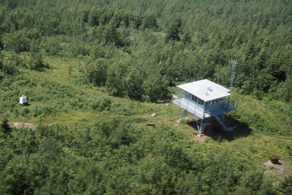
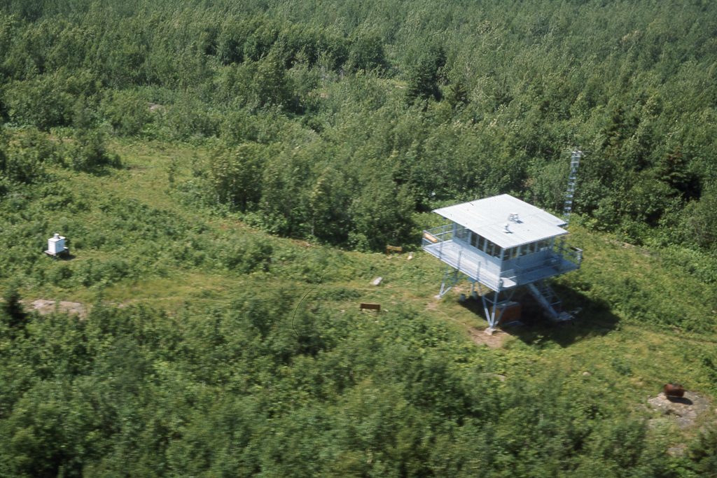
Sitting at 1,377 feet, Ishpeming Point is the island’s second-highest spot and a natural pause point along the Greenstone Ridge. The old Ishpeming Fire Tower still stands here (closed to climbing), and its base provides a bit of cover when the weather turns. Think of this as a wilderness waypoint—useful, quiet, and practical—more than a grand viewpoint.
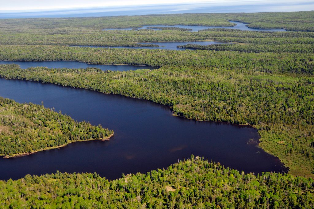
Expect tranquil, forested ridge walking rather than big panoramas. Occasional peeks through the trees hint at the surrounding ridges and lakes, but the canopy keeps expansive views in check. The tower adds a dash of backcountry history and a place to sit out a quick squall.
Ishpeming Point anchors the junction of the Greenstone Ridge Trail and the Ishpeming Trail. The latter rolls through ridges and wetlands on its way toward Malone Bay, with side access to Lake Siskiwit and pebble shoreline. It’s a popular rest-and-regroup spot for backpackers threading together longer days between campgrounds like Malone Bay, South Desor, and Hatchet Lake.
This remote ridge country is part of the same landscape that supports Isle Royale’s headline wildlife. Moose, wolves, birds, and small mammals roam the forests you’ll be hiking through, so keep your eyes open and your distance respectful.
You’re walking the backbone of the island: ancient volcanic basalt that forms Greenstone Ridge, the long, rugged spine that shapes routes and views across the island.
There are no facilities or crowds to game here—stop when your day naturally brings you by. Midday works well for a lunch break or to take shelter if a storm builds. Since there’s no real overlook, lighting isn’t a big factor for photography.
Yes—if you’re already hiking the Greenstone or connecting to Malone Bay. It’s a useful, quiet stop with a touch of history, but not a destination for vistas.
Place · 0 mi away
Place · 1.9 mi away
Place · 3.1 mi away
Place · 3.4 mi away
Challenging · 5.1 mi away
Moderate · 11.5 mi away
Easy · 11.5 mi away
Moderate · 11.5 mi away

Parkwolf Tour Guide
