Pros & cons
PROS
- Serrated, photogenic skyline visible from the Icefields Parkway
- Remote and quiet—far from Jasper’s busier stops
CONS
- No established trails, pullouts, or amenities
- Technical, rugged terrain not suited to casual hikers
Overview
Endless Chain Ridge is a long, jagged ridgeline at the southern end of the Maligne Range. Stretching roughly 16 km (some accounts say up to 25 km) and topping out around 2,867 m, it looks like a sawblade running above the Athabasca and Sunwapta valleys. From the west (Icefields Parkway), it can seem unassuming; from the east, it’s all teeth and drama.
What You’ll See
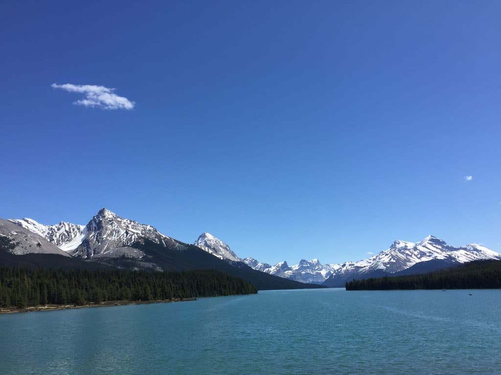
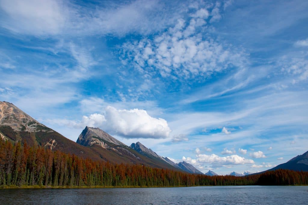
From the parkway, the ridge forms a striking, unbroken skyline. In changing mountain weather or low-angle light, its connected peaks pop—great for long-lens landscapes. The broader scene takes in the Sunwapta and Athabasca river valleys and distant ranges, with the Endless Chain dominating the horizon.
Access and Difficulty
There are no official trails, trailheads, or pullouts tied to the ridge, and the terrain is described as difficult to climb. It’s not a standard hiking destination; attempts to reach or traverse it are best left to experienced mountaineers with full alpine skillsets. For most visitors, the experience is admiring it from the Icefields Parkway.
History
Mary Schäffer named it in 1907, quipping that for “length and unadulterated ugliness it cannot be beaten”—a backhanded compliment that captured its relentless, stark profile. The name was formally adopted in 1947.
Geology (at a glance)
Part of the Maligne Range, the ridge’s connected peaks and sawtooth silhouette reflect resistant sedimentary layers shaped by glacial carving and erosion, leaving that distinctive “chain” of summits.
Wildlife
Specific sightings on the ridge aren’t well documented, but given its high, rugged setting in Jasper, you may spot mountain goats, bighorn sheep, birds of prey, and occasionally bears in the broader area. Treat it as remote backcountry.
Photography Tips
- Best views are from the Icefields Parkway, particularly north of the Sunwapta Falls area.
- Use a zoom/telephoto to compress the chain of peaks and emphasize the serrated skyline.
- Side light at sunrise or sunset brings out texture and relief.
Best Time to Visit
Year-round viewing from the parkway works, but shoulder seasons and calm post-storm windows often deliver dramatic light and clouds. Sunrise and sunset give the most sculpted look. Crowd levels are inherently low here—most people simply pass by.

Know Before You Go
There are no amenities of any kind at or for the ridge—no parking lots, restrooms, or marked access. Weather can turn fast; if you’re venturing off-road at all, come prepared with navigation, layers, and bear precautions.
Where it is
52.4833, -117.4667Tips for Endless Chain Ridge
- 01Best roadside views are along the Icefields Parkway north of Sunwapta Falls.
- 02Bring a zoom lens or binoculars to isolate the ridge’s serrated skyline.
- 03Only experienced mountaineers should attempt approaches—there are no marked trails.
Near Endless Chain Ridge
All places →All trails →
2.6 mi awayPoboktan Pass TrailLong, quiet approach to big views in Brazeau high countryChallenging · 16.2 mi · 11 hr
2.6 mi awayPoboktan Creek TrailQuiet gateway up a wild valley toward Jonas and Brazeau countryModerate · 10.6 mi · 7 hr
5.4 mi awayJonas Creek CampgroundTiny, creekside FCFS campground ideal for tents and bike tourersCampground · Restroom
8.2 mi awayLower Sunwapta FallsQuieter canyon cascades just beyond the roadside crowdsTrailhead · Parking
8.2 mi awaySunwapta Canyon TrailEasy canyon stroll from roaring upper falls to quieter lower fallsEasy · 1.6 mi · 1 hr
8.2 mi awaySunwapta Falls TrailRoadside thundering falls with a quieter lower-falls strollEasy · 1.9 mi · 1.3 hr
8.2 mi awaySunwapta FallsPowerful roadside falls with a photogenic island and canyon bridgeTrailhead · Restroom
8.3 mi awaySunwapta Falls Resort LtdCozy cabins and on-site dining steps from Sunwapta FallsLodging · Restaurant