Challenging

Maligne Pass Trail

Remote alpine meadows for skilled, self reliant backpackers.
Maligne Pass Trail, Jasper National Park
Distance29.8 mi
Typical time60 hr
DifficultyChallenging
PetsNot allowed

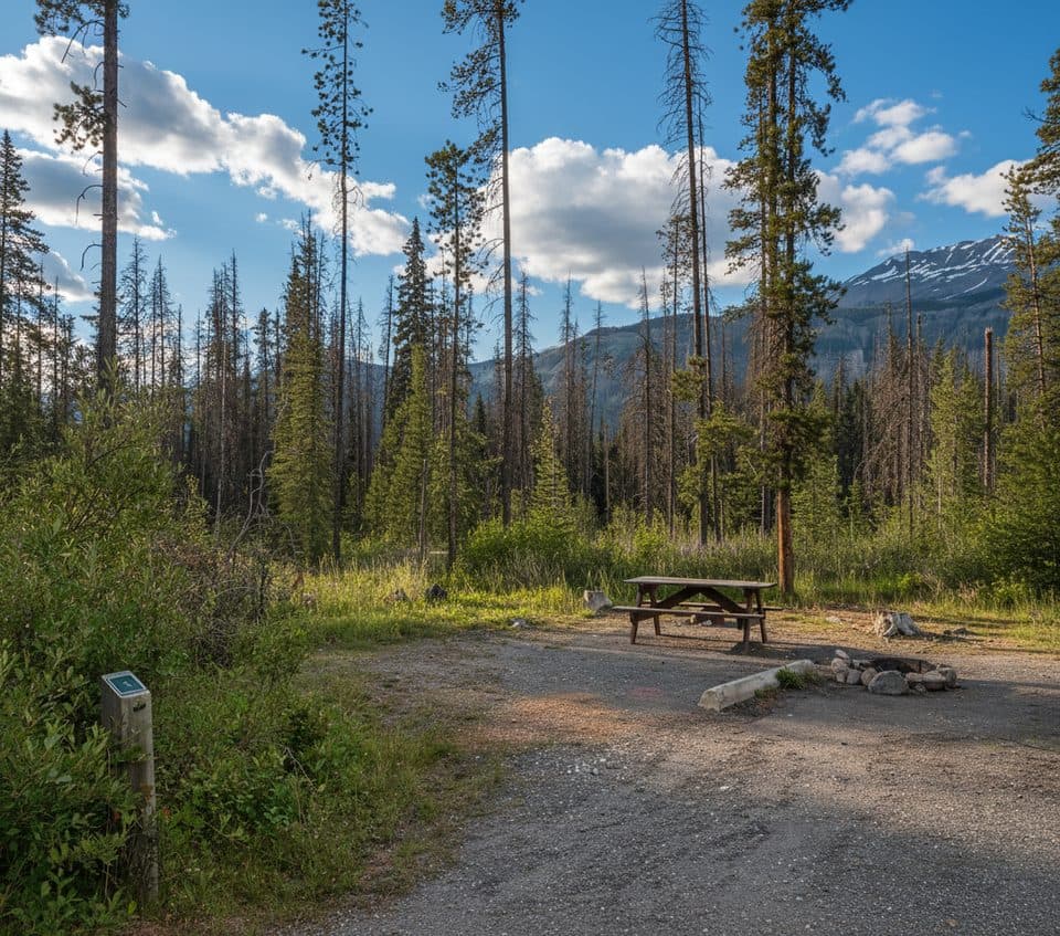
This is Jasper’s wild card: a remote, rugged corridor linking Poboktan Creek on the Icefields Parkway to the Maligne Lake side via one of the Rockies’ broadest alpine passes. Expect solitude, big-sky meadows, and a real sense of history—the route echoes Mary Schäffer’s 1908 journey guided by Samson Beaver. The full traverse runs roughly 48 km (about 29.8 miles) one way, commonly done in 2–3 days. Note that the first 6 km climb up Poboktan Creek to the Maligne Pass junction is part of that distance.

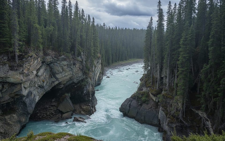
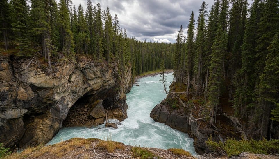
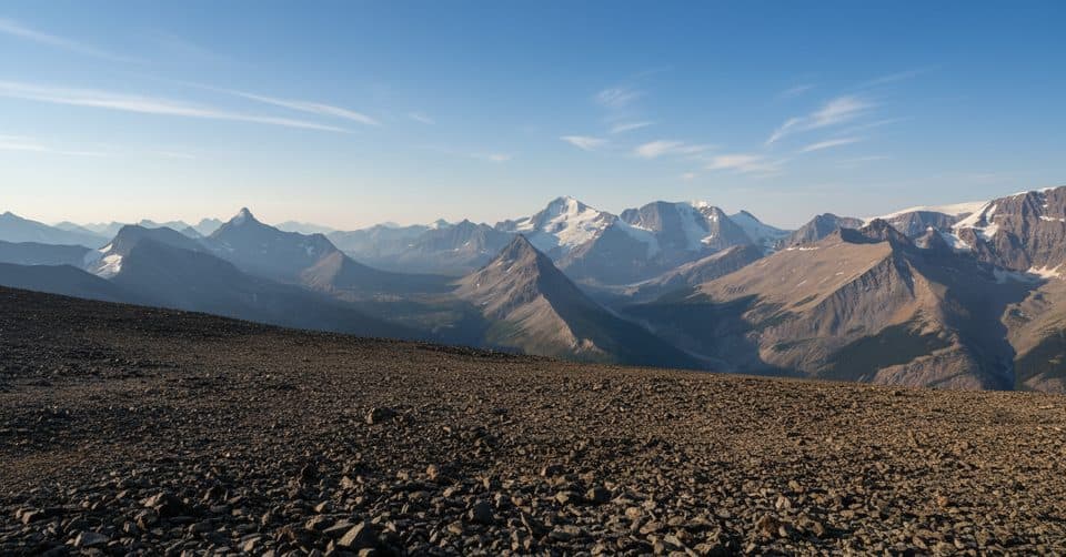
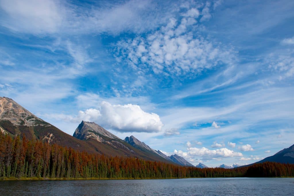
What you’ll see: long stretches of spruce–fir forest give way to willow flats and expansive alpine meadows near the pass, famous for late-summer wildflowers and wide-open mountain views. You’ll pass clear creeks, occasional tarns, and broad valleys that feel largely unchanged. Wildlife is very possible here—moose frequent the meadows, and this is prime grizzly country.

Trail reality check: this route is unmaintained in places, faint through meadows, and can be boggy or outright muddy. Multiple unbridged creek/river fords—most notably the Maligne River—can turn serious during high water. You’ll navigate deadfall, overgrown sections, and potential washed-out bridges. Translation: strong route-finding skills, comfort with fords, and solid backcountry judgment are mandatory. If you prefer well-signed, well-bridged trails, pick something else.

Camping and logistics: Designated backcountry sites include Avalanche Campground (#100), Mary Schäffer Campground, and Trapper Creek Campground, with some random camping zones north of the pass. Many parties from the south push to Avalanche as a base to explore the pass; others commit to the full point-to-point traverse, which requires a vehicle shuttle. Backcountry permits/reservations are required for overnight trips.

Best time to hike: late summer into fall. That’s when river levels usually drop, meadows dry out, and wildflowers peak. Early season is often wet, muddy, and risky for fords. Autumn adds great color and fewer bugs. Regardless of timing, always confirm current conditions and any closures with Parks Canada before you go.

Tips: waterproof boots, gaiters, and trekking poles are worth their weight. Carry a topo map and GPS—expect the trail to disappear in meadows and bogs. Travel in a bear-aware group, carry bear spray, and give wildlife space. Dogs are not allowed here due to caribou habitat protections.

Bottom line: if unmaintained, route-findy, occasionally soggy wilderness is your happy place, Maligne Pass delivers huge meadows, history, and quiet. If you want straightforward mileage, it’s not the right pick.

Pros

  • Vast, flower-filled alpine meadows at one of the Rockies’ largest passes
  • Deep solitude on a rarely traveled corridor with rich exploration history

Cons

  • Multiple unbridged fords and washed-out sections demand serious judgment
  • Trail is often faint, boggy, and overgrown—slow, wet travel is common

Parking

Park at the Poboktan Creek trailhead on the Icefields Parkway for the southern approach. If completing the full traverse toward the Maligne Lake side, arrange a vehicle shuttle.

Caution

Unmaintained stretches, bogs, and multiple unbridged crossings (including the Maligne River). High water makes fords hazardous early season or after rain. Prime grizzly habitat—carry spray and travel smart. Dogs are prohibited due to caribou habitat. Confirm conditions and any closures with Parks Canada before committing.

The Parkwolf tour guide sitting on a phone mounted in a car

Parkwolf Tour Guide

Like a tour guide in your car.

Bring Jasper trail research into the car, with offline maps and stories that play as you drive.Download Parkwolf on the App Store