
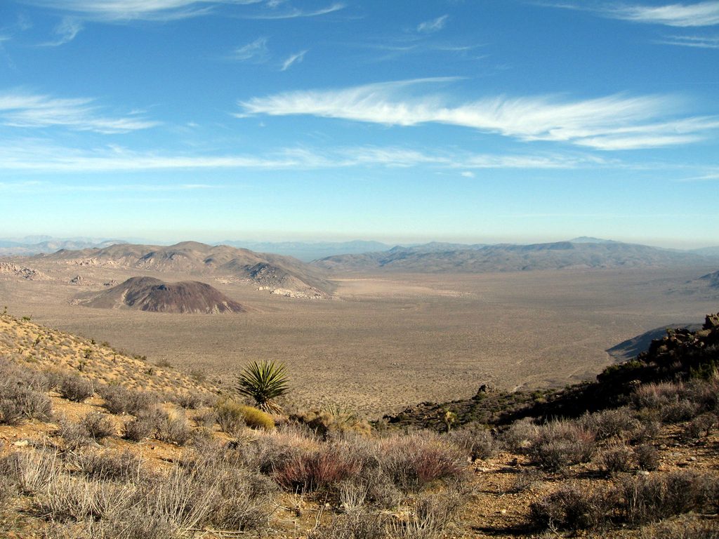
Place · 2.1 mi away
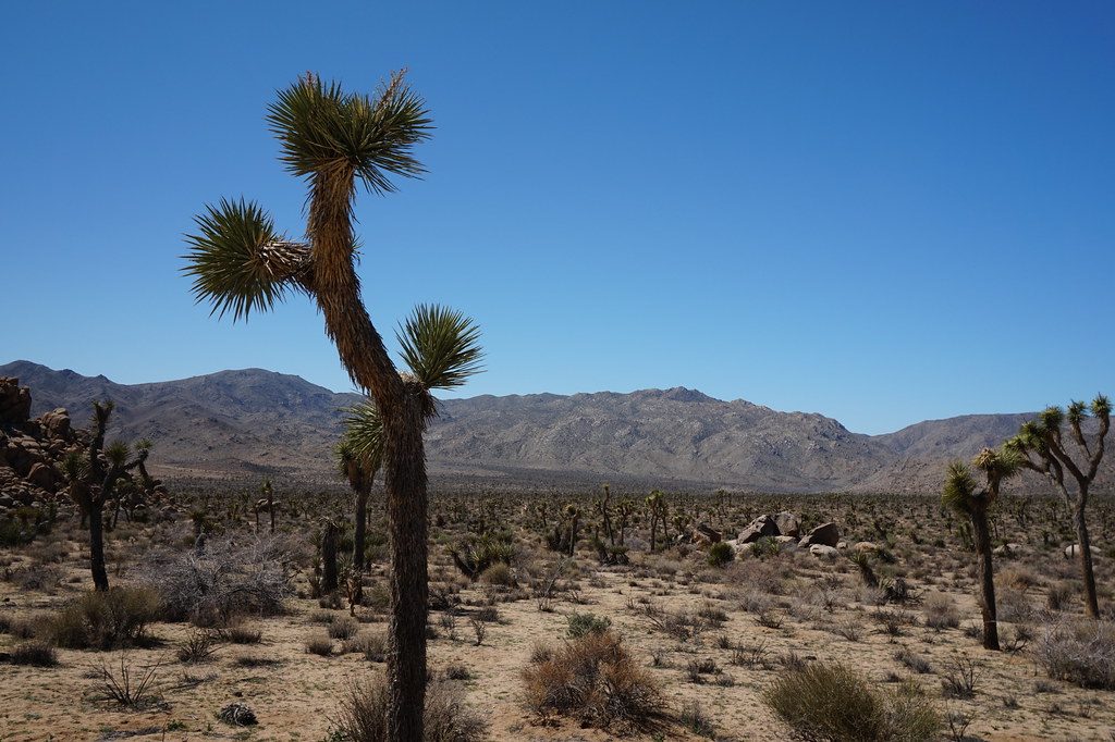
Quail Mountain is the park’s true high point and a backcountry objective for hikers who like earning their views. There’s no signed, maintained trail and no amenities—just wide desert, a remote summit, and the satisfaction of tagging the top.
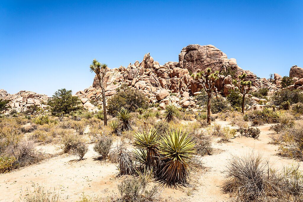
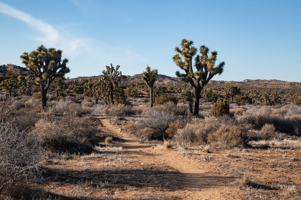
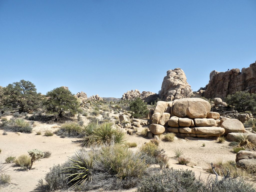
Expect classic high-desert scenery: Joshua trees, desert shrubs, sandy washes, and low ridges leading to a broad, open summit. From the top, you get sweeping, all-directions views over the Mojave/Colorado Desert transition and the Little San Bernardino Mountains. Lizards are common, and rattlesnakes are possible in warmer months.
All approaches involve some cross‑country travel. Common lines include starting on the California Riding and Hiking Trail toward Juniper Flats before leaving the path for the final climb, or working up via the Lang Mine area from the Quail Springs/Johnny Lang corridor. A Hidden Valley approach is also used. Expect a long, demanding outing with stretches of featureless terrain and occasional misleading use paths.
This is a challenging, remote hike. There’s no water, no shade, and no restrooms. Bring 3–4 liters of water per person, strong sun protection, sturdy footwear, layers for wind/cold on the ridge and summit, and real navigation tools (map/compass/GPS). Trekking poles help in sandy washes. Dogs are not allowed.
October through May is the season, with fall often offering the friendliest conditions. Winter days can be cold and windy on the summit; summer heat is dangerous—skip it. Start at first light to bank cool hours and daylight for the return. Crowds aren’t really a thing here; you’re likely to have it to yourself.
Place · 2.1 mi away
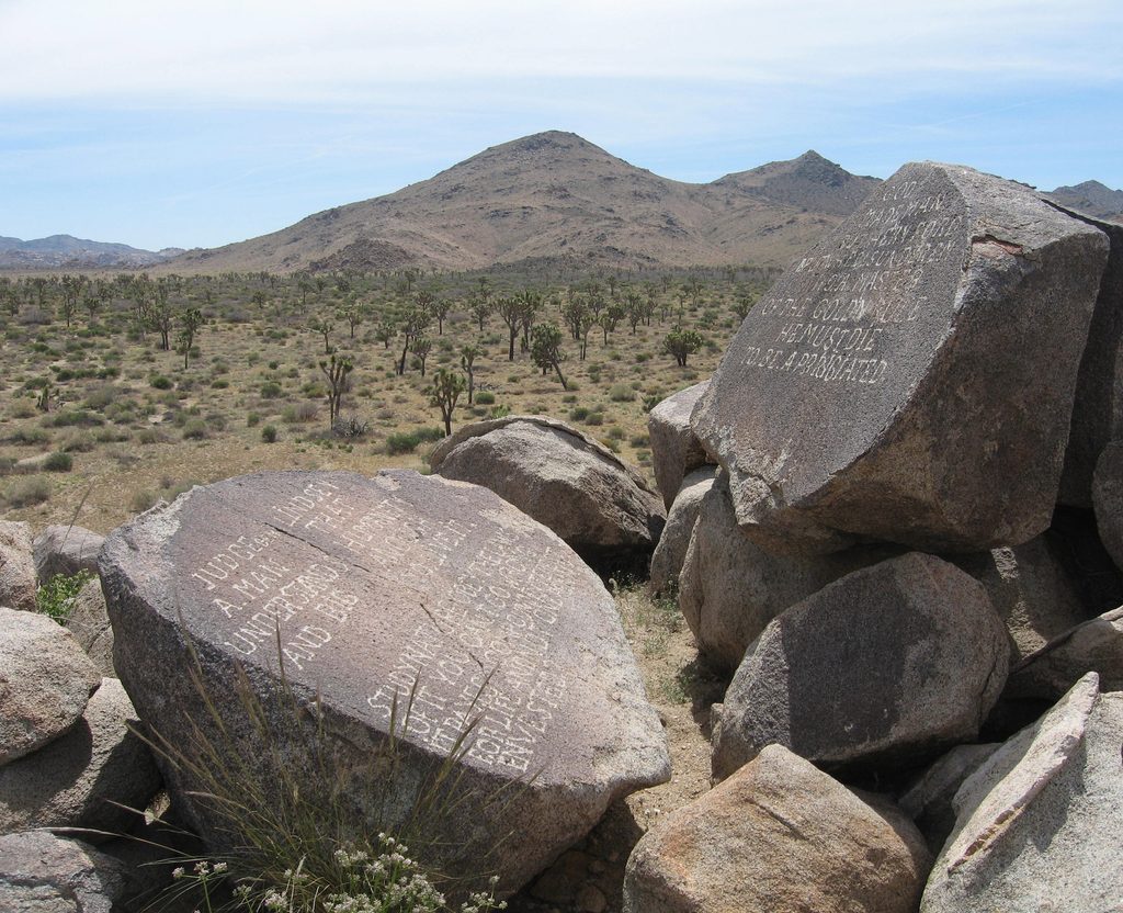
Place · 2.8 mi away
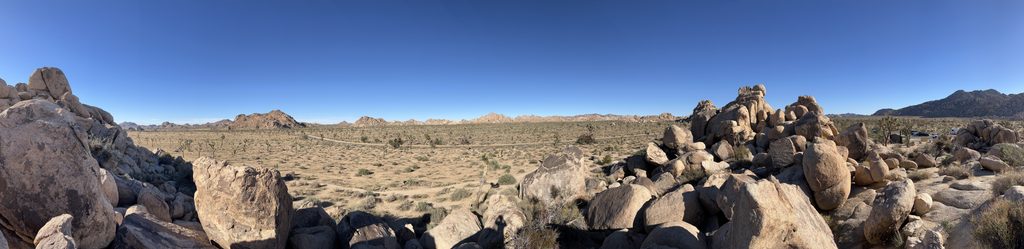
Place · 3.4 mi away
Place · 3.6 mi away
Easy · 3.7 mi away
Moderate · 4 mi away
Moderate · 4 mi away
Easy · 4.2 mi away

Parkwolf Tour Guide
