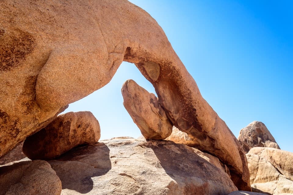
Covington Crest Trail

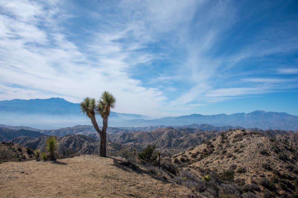
Easy walk to a lonely rim with giant Joshua trees and big views

LENGTH
3 mi
TIME
1.5 hr
DIFFICULTY
Easy
DOGS
Not allowed
Covington Crest Trail, Joshua Tree National Park
Image credit: Public Domain

Pros & cons

PROS

  • Groves of exceptionally large Joshua trees in a quiet corner of the park
  • Cooler high-elevation conditions than many other park trails
  • Big payoff overlook above the Coachella Valley with minimal effort

CONS

  • Long dirt-road approach with variable conditions and unreliable cell service
  • No water, restrooms, or shade structures at the trailhead
PARKING

Small parking area at the very end of Covington Flat Road; no facilities or water. Allow time for roughly 10 miles of dirt-road driving to reach the trailhead.

CAUTION

Remote area with unreliable cell service and no water. Dirt-road access can be sandy or rutted after weather—check conditions. Limited shade and a dramatic drop-off at the overlook; watch footing near the rim.

Overview

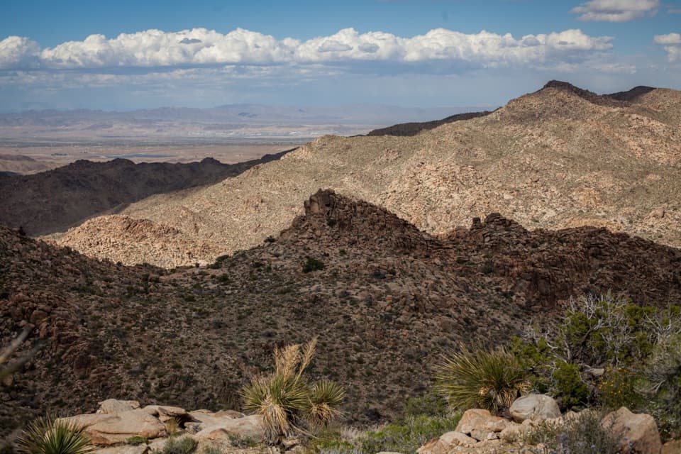
This is the quiet, scenic side of Joshua Tree—an easy out-and-back that delivers a big payoff without the crowds. The Covington Crest Trail is roughly 3 miles round trip, with about 187 feet of gentle elevation gain, and typically takes 1–1.5 hours. Despite the low effort, you’re rewarded with a wide-open panorama over the Little San Bernardino Mountains and the Coachella Valley far below.

What You’ll See

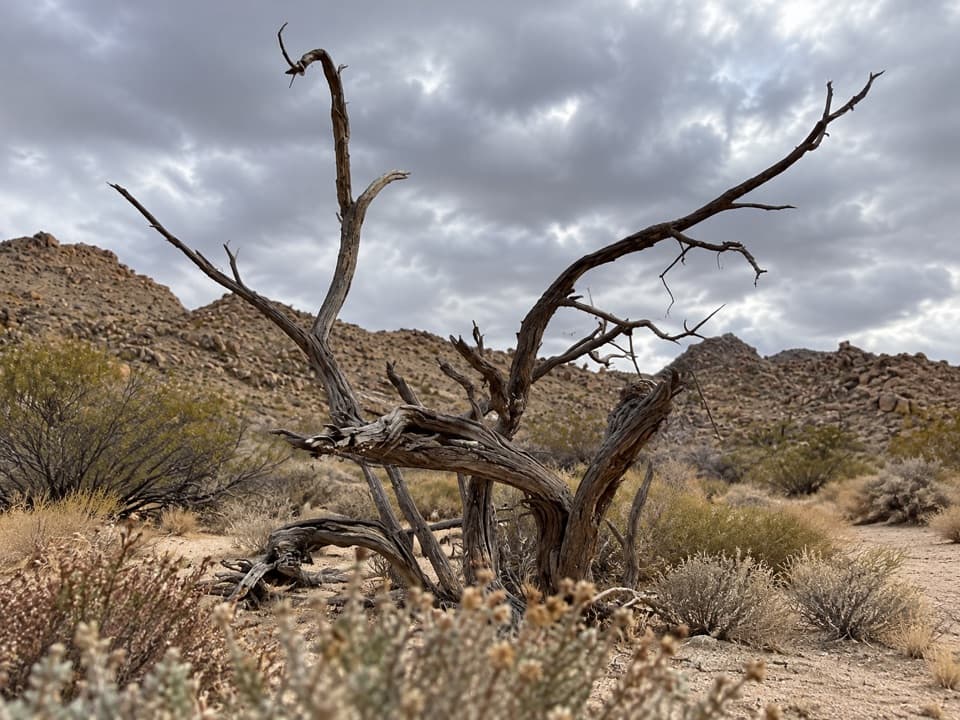
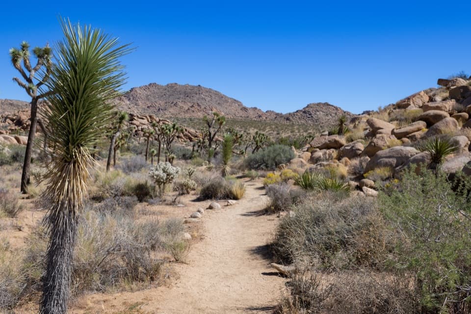
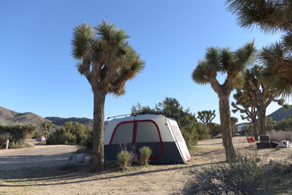
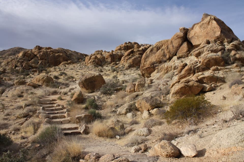
From the trailhead in remote Covington Flat, you’ll wander through groves of some of the park’s largest Joshua trees, mixed with pinyon pines and junipers on a high-desert plateau. The path is mostly packed dirt and sandy stretches, with a few rocky bits. At the rim, the world drops away—this dramatic overlook is the reason to come, offering an immense sense of space and solitude.

Access and Navigation

Reach the trailhead via a long dirt approach—roughly 10 miles on Covington Flat Road. It’s usually passable when dry, but conditions vary, and high clearance can be helpful after weather. There are no facilities or water at the end of the road. Cell service is unreliable, so download maps and let someone know your plan. The trail itself is straightforward, but a map/GPS helps if any sections feel faint.

Best Time to Hike

Thanks to its higher elevation, this area runs cooler than much of the park. Fall, winter, and spring are ideal. Winter can bring freezing temperatures; in summer the route is still doable for prepared hikers—start early, bring ample water, and expect limited shade. Photographers will love soft light at sunrise or late afternoon, especially among the oversized Joshua trees and at the crest.

Tips and Tricks

Carry 2–3 liters of water per person, sun protection, and layers for shifting temperatures. Wear sturdy shoes for sandy/rocky footing. The overlook makes a great picnic spot—pack snacks and take your time. If you want to add a little more, there’s a short, separate walk to nearby Eureka Peak from the same parking area. For a longer day in similar terrain, the California Riding and Hiking Trail segment near Upper Covington Flat travels through the same Joshua tree woodlands.

Is It For You?

If you value solitude, superlative Joshua trees, and a huge view for minimal effort, this trail is absolutely worth it. If you dislike dirt-road driving, need amenities at the trailhead, or want a marquee, social trail, look elsewhere.

Elevation

3 mi · 1.5 hr
Start · 1466 mHigh point · 1500 mEnd · 1497 m

Where it starts

34.0097, -116.3059
Covington Crest Trail

Near Covington Crest Trail

All places →All trails →

More about Covington Crest Trail

PARKWOLF TOUR GUIDE

Like a tour guide in your car.

Bring Joshua Tree trail research into the car, with offline maps and stories that play as you drive.
Download Parkwolf on the App StoreGet Parkwolf on Google Play
The Parkwolf tour guide sitting on a phone mounted in a car
Get the Audio Tour Guide for your drive through Joshua TreeOpen Parkwolf