Boy Scout Trail in Joshua Tree National Park

#8 of 60 trails in Joshua Tree

Joshua Tree National Park, CA

Boy Scout Trail

An eight-mile desert crossing from Joshua trees to Indian Cove.

Photo: Public Domain
Length
8mi
Time
4.5hr
Elev. change
1,312ft
Difficulty
Moderate
  • No dogs
  • High point 4,167 ft

Hear the audio tour

Willow Hole from Boy Scout Trailhead

Overview

About Boy Scout Trail

Why go

  • Changing Joshua tree, boulder, and lower-desert scenery
  • The northbound route loses elevation overall
  • A strong through-hike when a pickup is arranged

Heads up

  • Requires a shuttle or a 16-mile return
  • Little shade and no dependable water
  • Unreliable cell coverage

Map & elevation

The route

Loading the Joshua Tree map
Full map
Elevation2,854–4,167 ft
TrailheadBoy Scout Trailhead34.04109, -116.18578
Keep this map with you offline in the Parkwolf app

Plan your hike

Before you go

Parking

Park at the Boy Scout Trailhead beside the Keys West Wilderness Backpacking Board on Park Boulevard. The through-route ends at Indian Cove, so arrange a shuttle or second car before setting out; returning to this lot adds the full route again.

Safety

Little shade, no dependable water source along the route, and unreliable cell service. Carry all water, download a map, and arrange transportation before starting. Pets are prohibited on park trails and in the backcountry. Overnight camping in the Boy Scout Trail Zone requires a designated site and permit.

5 active Joshua Tree alerts

  • ClosureOasis of Mara Trail closed past the OasisThe Oasis of Mara Trail is closed past the Oasis due to a heavy flooding event; do not continue beyond the Oasis. Check current park conditions before visiting.Official details
  • ClosureSR 62 and US 95 closed by floodingFlooding has closed portions of SR 62 and US 95; avoid the closed segments.Official details
See all 5 alerts
A park ranger sits on a dash-mounted phone, talking, as Parkwolf’s Tour Guide plays “Army Cutworm Moths: A Grizzly Bear Buffet” on Grand Loop Road below Dunraven Pass in Yellowstone
Parkwolf Tour GuideThe highest, rockiest slopes around here are a summer buffet for grizzly bears.

Joshua Tree Tour Guide

Your drive to Boy Scout Trail, narrated.

Parkwolf is a GPS audio tour guide for Joshua Tree National Park. As you drive, it chimes in with what’s ahead: hidden gems, upcoming stops, history, geology, and wildlife, right through your car’s speakers.

See the Joshua Tree audio tour

Recorded for this trailhead

Willow Hole from Boy Scout Trailhead
0:00 / 0:28
“You're nearing Boy Scout Trailhead, where the Willow Hole hike begins. It's about seven miles round trip and four hours through Joshua trees and sandy washes into the Wonderland of Rocks.”

Plays as you drive up to this trailhead in the Parkwolf Joshua Tree Tour Guide.

More stories near here in the app

  • Quail Springs for a Picnic or Stars
  • Hemingway Buttress and Its Climbing Cracks
  • The Life Between the Plants
  • Keys Ranch by Reserved Tour
  • 89 audio storiesacross Joshua Tree’s roads, triggered by GPS as you drive
  • Wildlife heatmapsfor Bighorn Sheep, Golden Eagle, Desert Tortoise, and 13 more
  • Works offlinemaps, 60 trails, 64 places, and audio download before you lose signal
  • CarPlay readysimple controls built for the drive
★★★★★
“Fantastic app with many points of information… It’s great to just turn on while you’re driving and it gives you an audio tour of the national Park. We love it!!!!”
JMJamesApp Store review
Download Parkwolf on the App StoreGet Parkwolf on Google Play

4.7 from 8,600+ ratings

Trail guide

Hiking Boy Scout Trail

The full crossingBoy Scout Trail is an 8-mile, one-way hike from the Boy Scout Trailhead on Park Boulevard to…

Boy Scout Trail is an 8-mile, one-way hike from the Boy Scout Trailhead on Park Boulevard to Indian Cove. It drops about 1,200 feet overall, from roughly 4,000 feet to 2,800 feet, with some small rises along the way. Allow 4 to 6 hours with stops. This is a rewarding choice for a long desert walk if you can arrange a pickup at the north end. It is not a loop: walking back adds another 8 miles and turns the overall descent into a long climb to the start.

Start at Keys WestThe southern access begins beside the Keys West Wilderness Backpacking Board along Park…

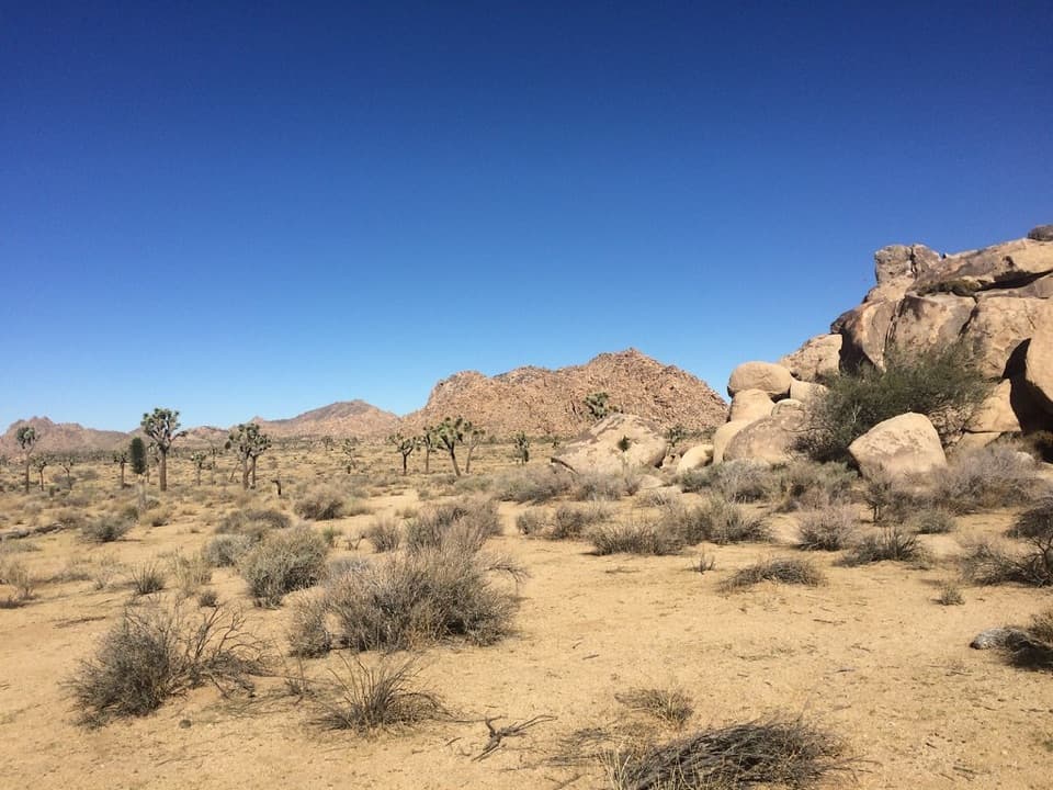
The southern access begins beside the Keys West Wilderness Backpacking Board along Park Boulevard. The trail starts in Joshua tree woodland, then continues north through the backcountry zone. The path is a mix of dirt and sandy stretches, with rockier footing near the formations and washes. The northbound walk loses elevation overall, but it is still a remote eight miles, not a gentle stroll.

Beside the Wonderland of RocksThe Wonderland of Rocks day-use area lies east of the Boy Scout Trail Zone.

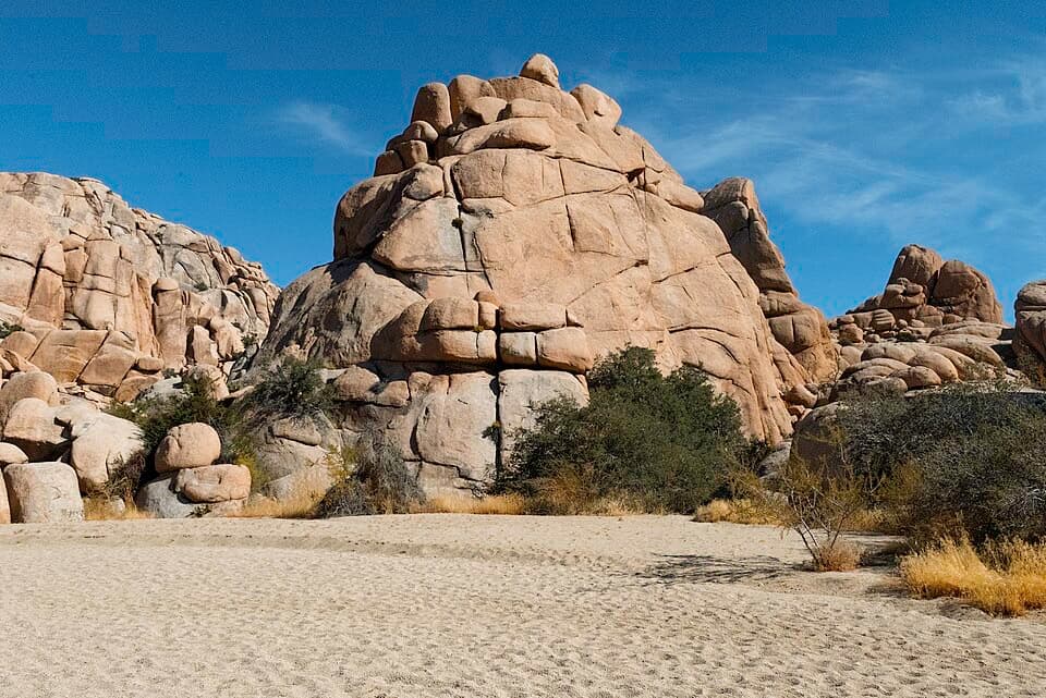
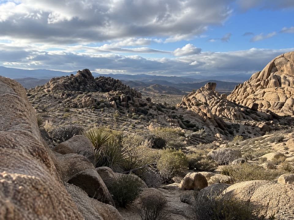
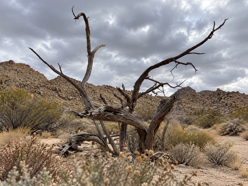
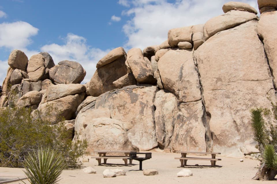
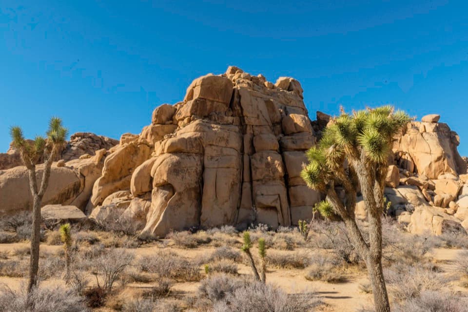
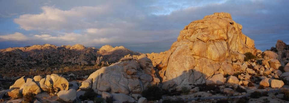
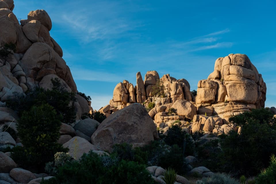
The Wonderland of Rocks day-use area lies east of the Boy Scout Trail Zone. From the through-route, you get broad views and closer looks at the cliffs, canyons, domes, and boulder piles that make this corner of the park so striking. The route keeps changing as the high desert gives way to lower Mojave scrub; it is the shift in scenery, as much as any single destination, that makes the crossing worthwhile. For a photo, keep a Joshua tree in the foreground against the rocky basin so the formations retain their scale.

Some hikers head from this access toward Willow Hole instead. That marked side route is a shorter out-and-back to a rock-enclosed cove, not part of the Indian Cove through-hike. Be clear which version you want before following a downloaded track: distances and descriptions can refer to different walks.

Finish at Indian CoveThe route ends near Indian Cove at roughly 2,800 feet.

The route ends near Indian Cove at roughly 2,800 feet. Starting at Boy Scout Trailhead makes the overall direction downhill; hiking the full line in reverse means climbing back toward the higher trailhead. There is no return loop or shuttle service established by the trail itself, so arrange a second car or pickup before you leave. Don't count on cell service to coordinate a ride after the walk.

Water, pets, and campingThere is little shade, no dependable water source along the route, and unreliable cell coverage.

There is little shade, no dependable water source along the route, and unreliable cell coverage. Carry all the water you will need and download a map before setting out; tell someone where you are going and when you expect to return. Pets are not allowed on park trails or in the backcountry. If you plan to stay overnight in the Boy Scout Trail Zone, camp only at a designated site with the required permit. Through-hikers may pass through the zone without camping.

Wildlife

Wildlife in Joshua Tree

All Joshua Tree wildlife maps

Sighting maps show where each species has been reported across Joshua Tree. Wildlife moves, so no sighting is guaranteed.

Keep exploring

Near Boy Scout Trail

See it all on the map

Trails that start nearby

Places near the trailhead

Parkwolf’s Joshua Tree ranking

Top-rated trails in Joshua Tree

All 60 trails
  1. 1Hidden Valley Nature TrailEasy · 1 mi
  2. 2Barker Dam Nature TrailEasy · 1.3 mi
  3. 3Ryan Mountain TrailChallenging · 3 mi
  4. 4Fortynine Palms Oasis TrailChallenging · 3 mi
  5. 5Lost Palms Oasis TrailChallenging · 7.5 mi
  6. 6Arch Rock TrailEasy · 1.3 mi

Take Parkwolf to Joshua Tree.

The audio tour guide for the drive, plus offline maps, trails, and wildlife heatmaps for when the signal drops.

4.7 from 8,600+ ratings

Download Parkwolf on the App StoreGet Parkwolf on Google Play