
Place · 2.3 mi away
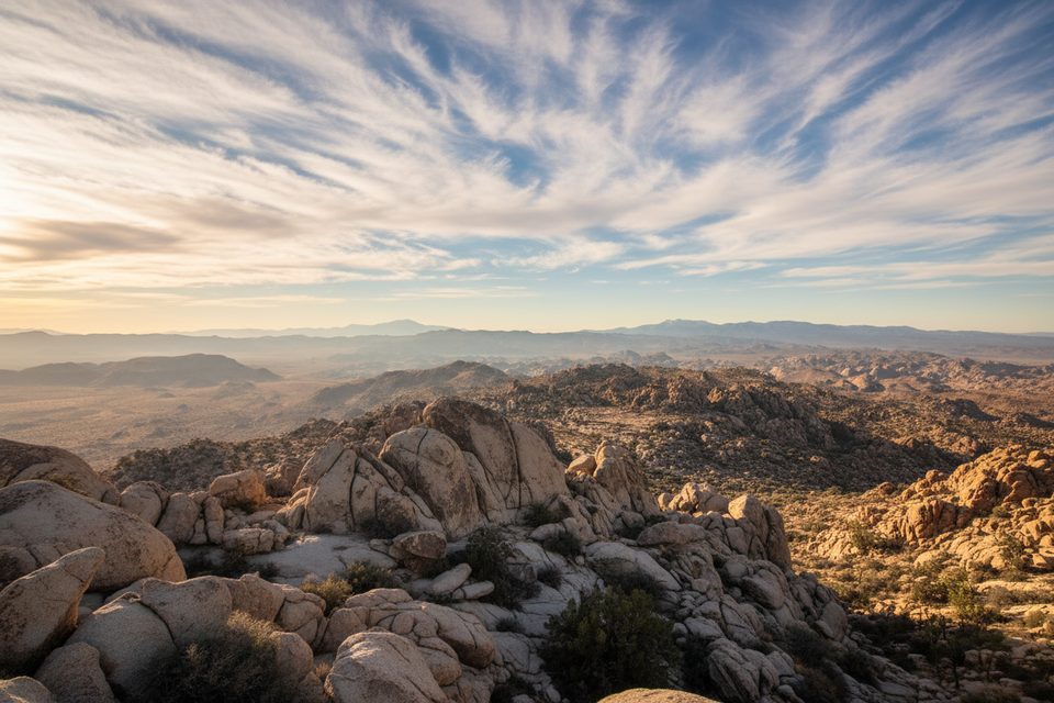
Queen Mountain is Joshua Tree’s second-highest summit (about 5,680 feet) and it feels every bit the backcountry prize—quiet, rugged, and wonderfully undeveloped. Expect an off-trail ascent through sandy washes and a steep, rocky gully to a breezy summit with sweeping views across the high desert.
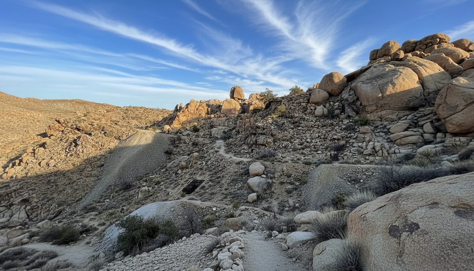
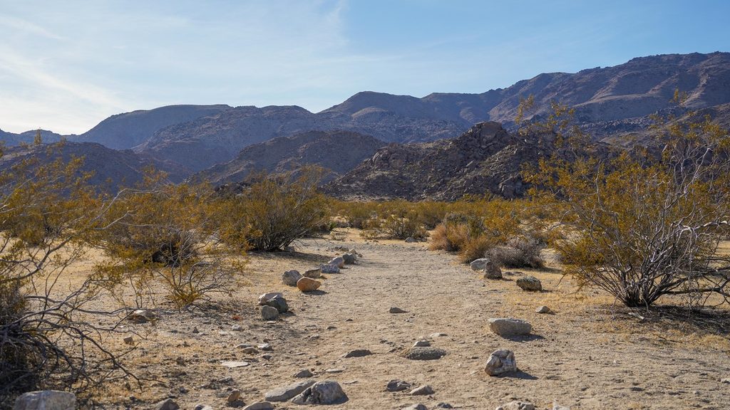
There’s no maintained trail here—just use paths that fade in and out. The typical line crosses open desert, follows a sandy wash, then climbs a south-facing gully to a saddle between Queen Mountain and Queen Benchmark. From there, you’ll scramble up rock shelves to the summit. Difficulty lands around Class 2–3: hands are helpful, exposure is modest, and careful footing matters.
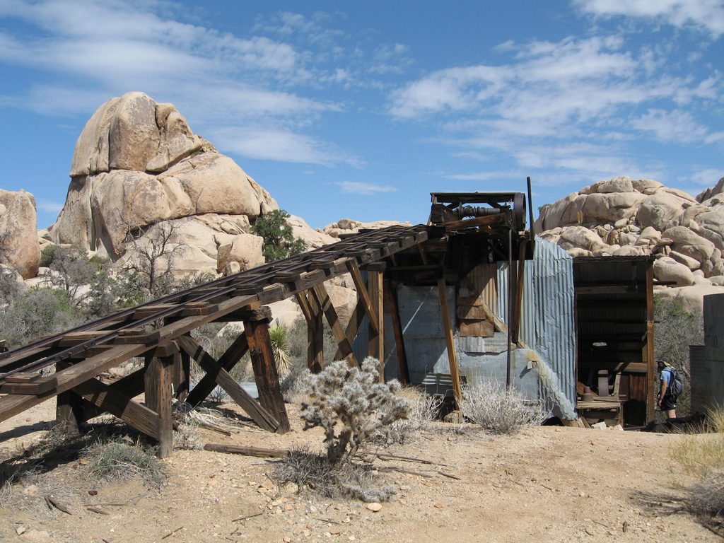
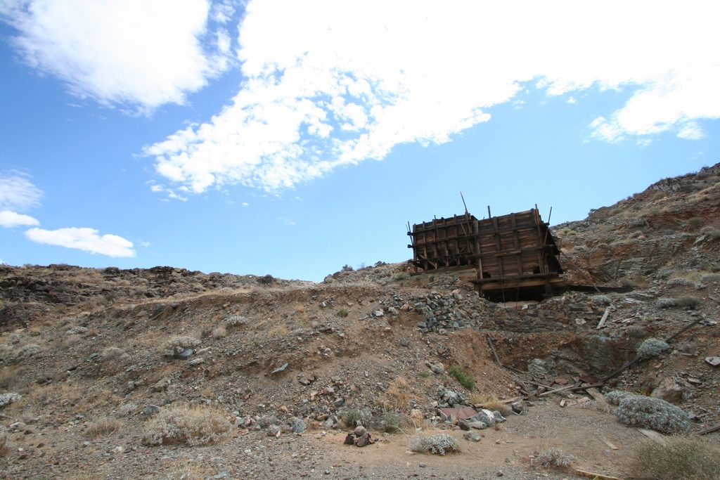
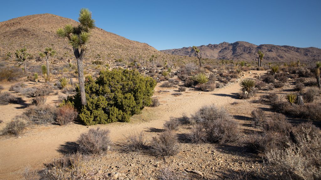
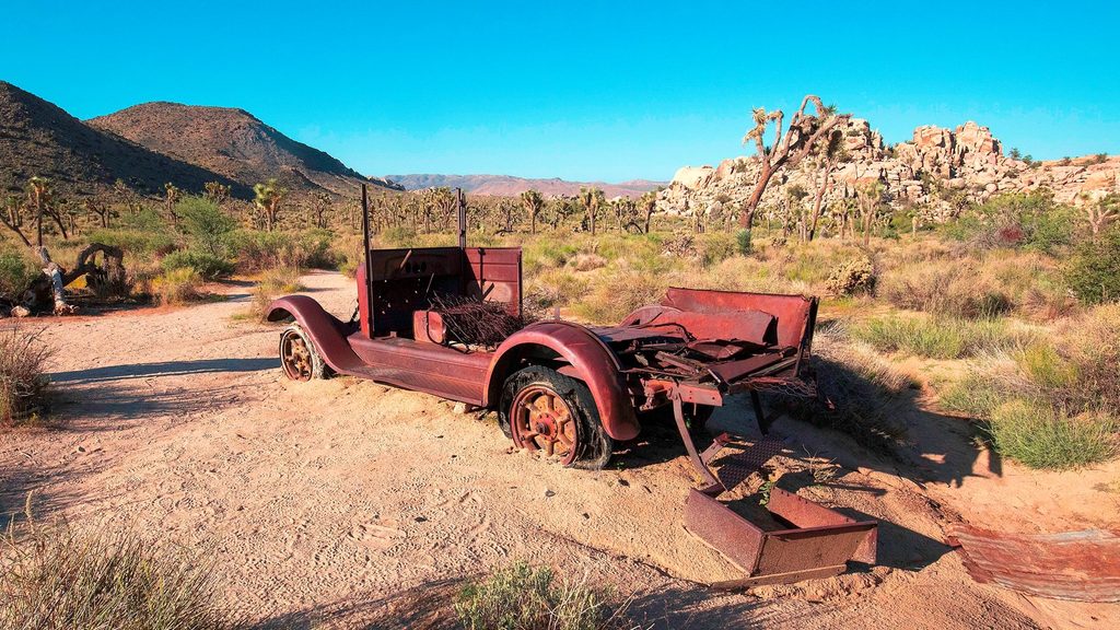
At the base you’ll walk through classic Joshua Tree terrain—desert flats dotted with Joshua trees and boulder piles. Near the saddle, sparse juniper offers the only hint of shade. Keep an eye out for old mining relics and traces of abandoned roads. From the top, you get big, all-direction views across the park and toward major Southern California peaks.
This terrain is prime for jackrabbits, lizards, snakes, and desert birds. You’re unlikely to spot much larger wildlife, but the quiet approach rewards the attentive observer.
If you like solitude, route-finding, and a bit of scrambling, this is your mountain. If you prefer signed trails, frequent cairns, or built infrastructure, pick a different objective.
Plan on roughly 4–7.5 miles roundtrip with about 1,400–1,600 feet of elevation gain, depending on where you can park and how directly you travel.
Access is from Park Boulevard. When conditions allow, people drive O’Dell Road to its end and start there; otherwise, use an informal roadside pullout and walk extra. Either way, you’ll begin in a sandy wash and must rely on navigation rather than signage.
There is no water, no shade, and no services—bring 2–3 liters per person, strong sun protection, sturdy footwear, and reliable navigation (map/compass/GPS). Expect to lose the faint path at times; the wash is a dependable handrail on the return.
Start early and avoid hot weather, especially in summer. Cooler seasons and mornings are best. Crowds are rarely an issue here any day of the week—your main constraint is heat and daylight.
Place · 2.3 mi away
Place · 2.3 mi away
Place · 2.4 mi away
Place · 2.4 mi away
Moderate · 2.4 mi away
Moderate · 2.4 mi away
Easy · 2.4 mi away
Easy · 3.1 mi away

Parkwolf Tour Guide
