Parking
Use Contact Mine Trailhead on Park Boulevard, about half a mile south of the North Entrance Station outside Twentynine Palms. Parking type and capacity are not described.
Joshua Tree National Park, CA
A quiet desert walk ends among century-old mine workings.
Overview
Map & elevation
Plan your hike

The highest, rockiest slopes around here are a summer buffet for grizzly bears.
Joshua Tree Tour Guide
Parkwolf is a GPS audio tour guide for Joshua Tree National Park. As you drive, it chimes in with what’s ahead: hidden gems, upcoming stops, history, geology, and wildlife, right through your car’s speakers.
See the Joshua Tree audio tourRecorded for this trailhead
Contact Mine: A Hike to the Old Workings“Contact Mine's trailhead is coming up, for a hike to old gold and silver workings on the mountainside.”
Plays as you drive up to this trailhead in the Parkwolf Joshua Tree Tour Guide.
More stories near here in the app
“Fantastic app with many points of information… It’s great to just turn on while you’re driving and it gives you an audio tour of the national Park. We love it!!!!”


Trail guide
Contact Mine Trail is a 3.8-mile out-and-back from a trailhead just south of the North Entrance to historic mine workings. Plan on 2–3 hours and roughly 700 feet of climbing. It is a good pick for a quieter hike with broad desert and mountain views.
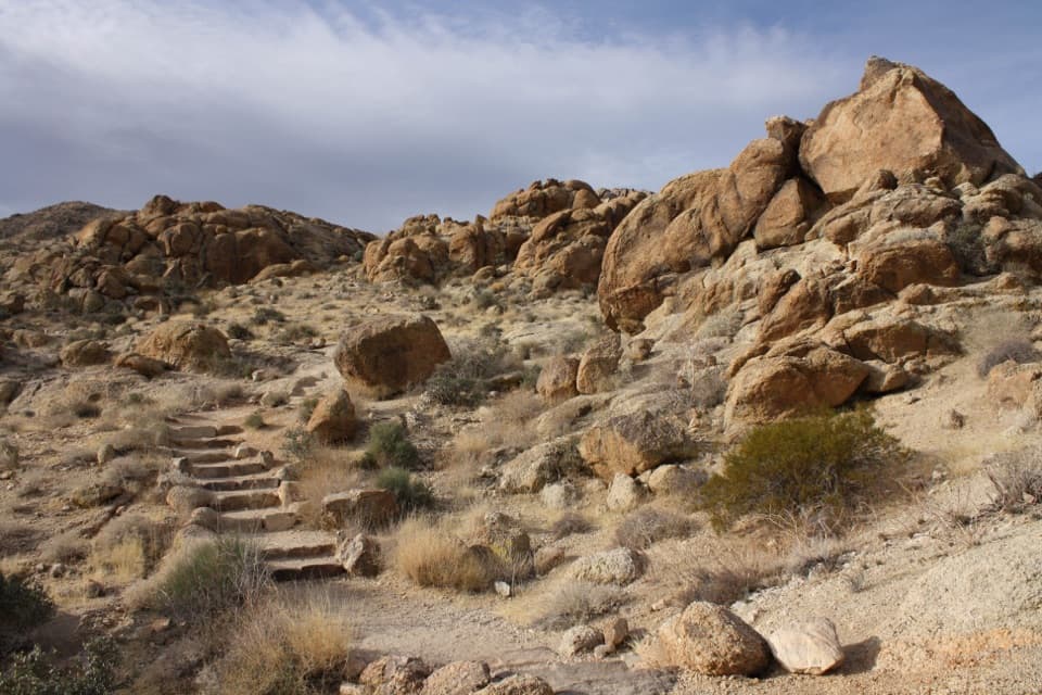
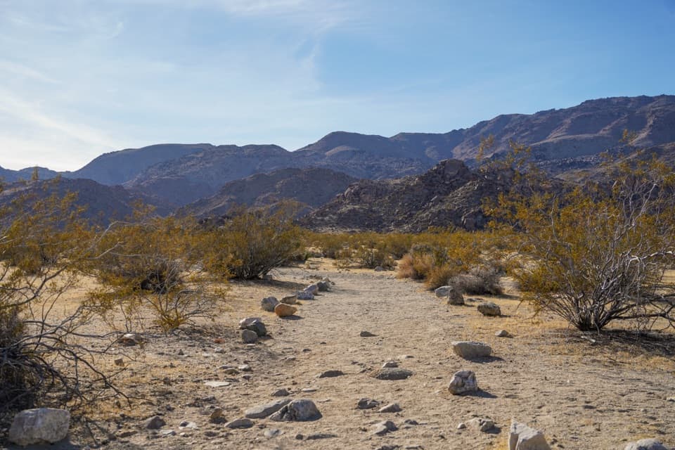
Start in a sandy wash, then climb the rocky mountainside on hard-packed dirt with occasional built-in rock steps. The trail follows the winding remains of an old roadbed toward the mine; return the same way. Barrel cactus and other desert plants grow among the rocks along the route.
The mine workings and old artifacts are the turnaround. Some of the equipment dates to about a century ago. The openings are gated or sealed, so expect a surface visit rather than an underground tour. Leave all artifacts where they are. For a photo, frame the old rails or machinery with the surrounding mountain slopes.
Wildlife
 129 sightingsBighorn SheepMost seen around 6 PMSighting map
 15 sightingsGolden EagleMost seen around 10 AMSighting map
 413 sightingsDesert TortoiseMost seen around 8 AMSighting map
 275 sightingsCoyoteMost seen around 6 AMSighting map
 47 sightingsBobcatMost seen around 6 PMSighting map
 32 sightingsMule DeerMost seen around 6 AMSighting map
Sighting maps show where each species has been reported across Joshua Tree. Wildlife moves, so no sighting is guaranteed.
Keep exploring
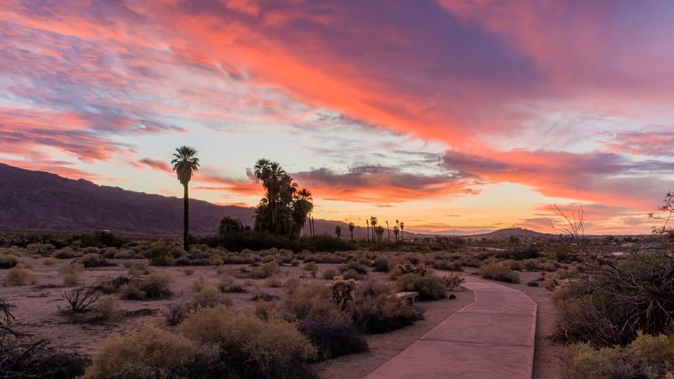 EasyOasis of Mara Trail0.5 mi · 20 min · 3.9 mi awayA half-mile paved loop beneath fan palms, with history on the signs.
 EasyPine City Trail4 mi · 2.5 hr · 4.2 mi awayA desert walk to pinyons tucked among granite boulders.
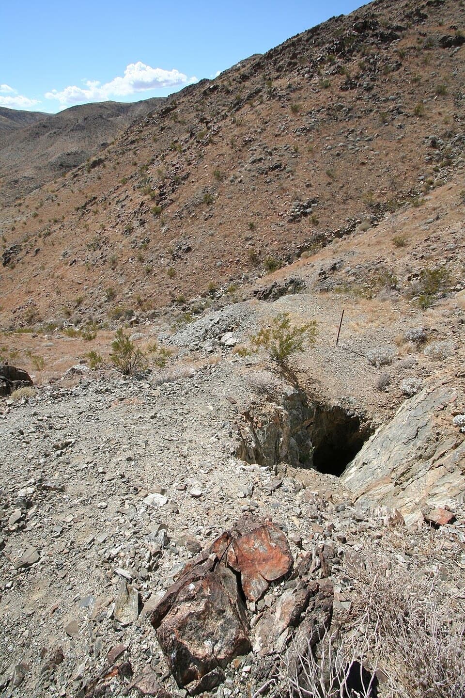 EasyDesert Queen Mine Trail1.5 mi · 1.3 hr · 4.2 mi awayOld mine gear rewards a short desert walk; stay outside the gates.
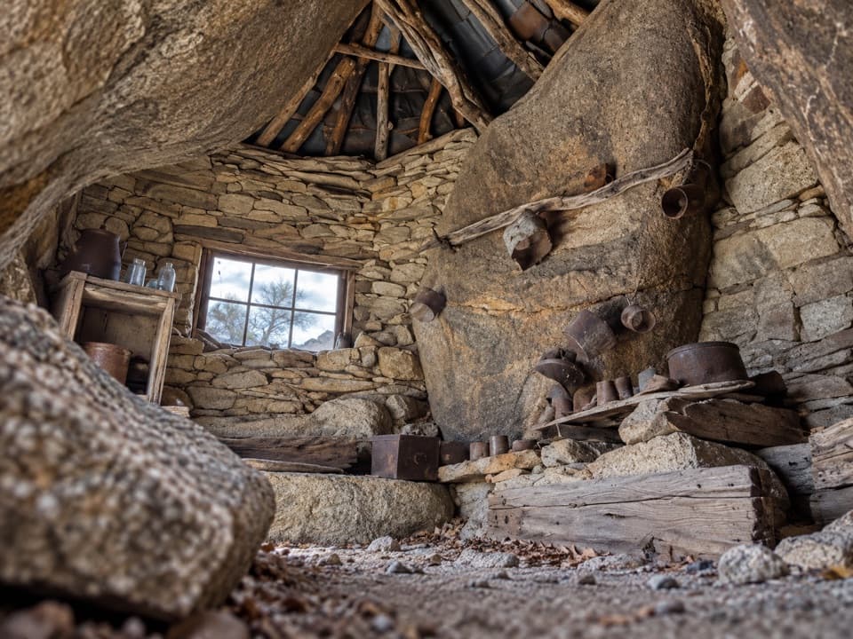 ChallengingEagle Cliff Mine Trail3.5 mi · 3 hr · 4.3 mi awayA hidden cabin in boulders, reached by a faint desert route
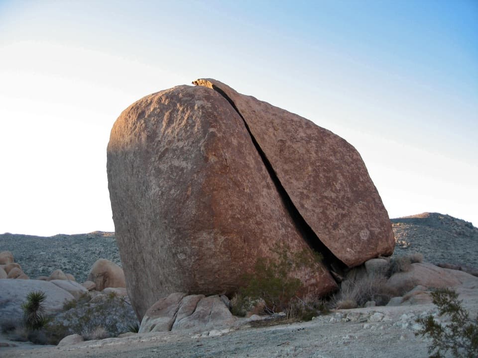 ModerateSplit Rock Loop Trail2.5 mi · 2 hr · 4.5 mi awayA short boulder loop with a Face Rock detour worth the turn.
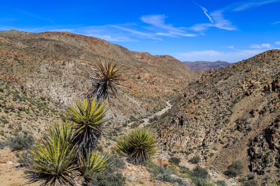 EasyLucky Boy Vista Trail2.5 mi · 1.5 hr · 4.7 mi awayAn easy desert walk to mine remains and a wide valley overlook.
 EasyLucky Boy Loop3.3 mi · 2.3 hr · 4.7 mi awayDesert views, old mine remains, and a final road stretch.
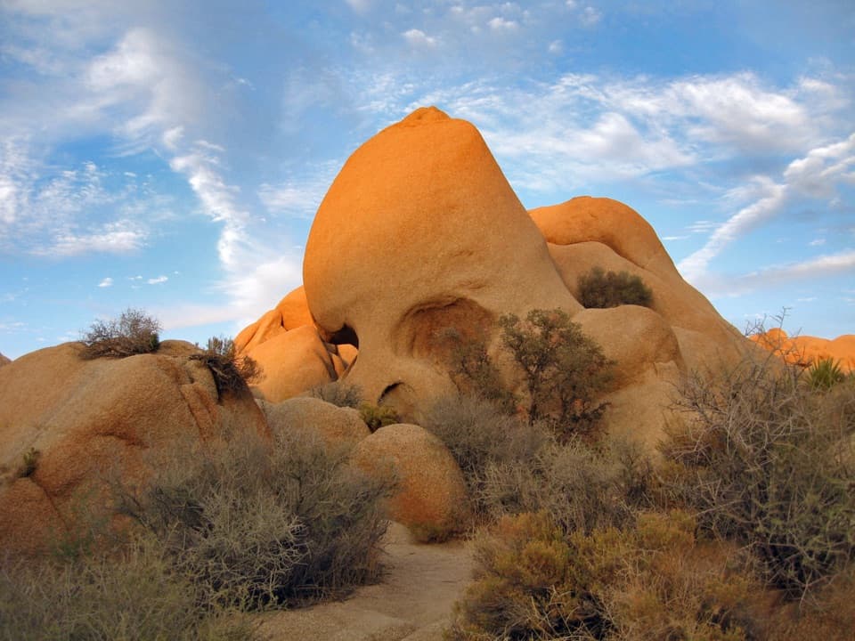 EasySkull Rock Nature Trail1.8 mi · 1.5 hr · 5.4 mi awayA short loop to a skull-shaped granite formation
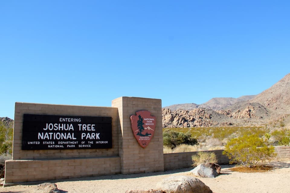 Entrance station · 0.4 mi awayNorth Entrance StationA quick north-side stop to sort your park pass.
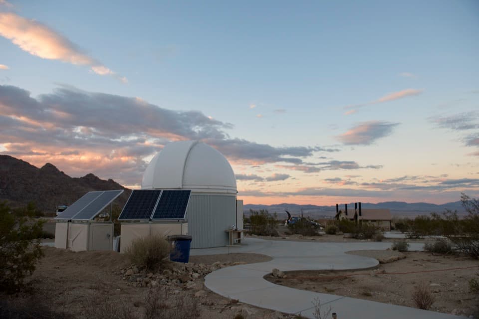 Sight · 0.5 mi awaySky’s the Limit Observatory and Nature CenterWalk a Solar System model scaled for human steps.
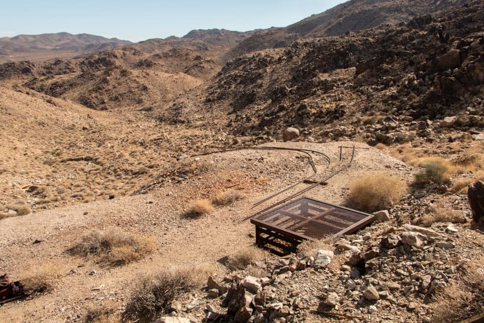 Sight · 1.3 mi awayContact MineOld mine gear at the end of a quieter four-mile desert hike.
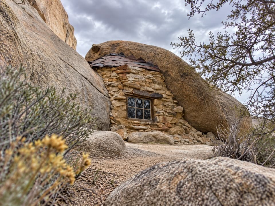 Sight · 3.8 mi awayEagle Cliff Mine and Boulder HouseA miner’s stone cabin tucked into a narrow boulder cleft.
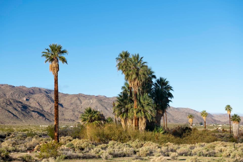 Sight · 3.9 mi awayOasis of MaraA palm grove with a surprisingly deep Serrano story.
 Sight · 4 mi awayDesert Queen MineWalk a short loop past ore bins, old shafts and mining debris.Sight · 4.5 mi awaySplit RockThe namesake boulder sits at the start of a 2.5-mile desert loop.
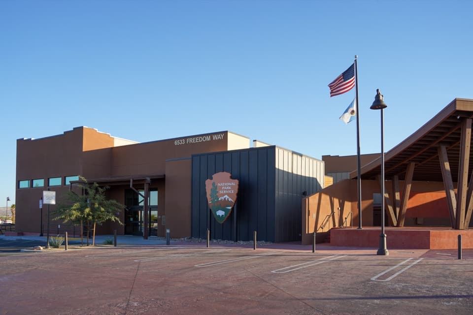 Visitor center · 4.5 mi awayJoshua Tree National Park Visitor CenterA focused cultural introduction before the desert roads.
Parkwolf’s Joshua Tree ranking

The audio tour guide for the drive, plus offline maps, trails, and wildlife heatmaps for when the signal drops.