Desert Queen Mine in Joshua Tree National Park

Sight · Joshua Tree National Park

Desert Queen Mine

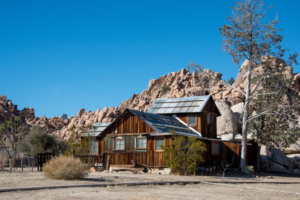
Walk a short loop past ore bins, old shafts and mining debris.

Photo: Wikimedia Commons
Type
Sight
Nearest trail
0.4 mi
Audio stories
8 nearby
  • Trailhead
  • Parking
  • #21 of 43 sights

Hear the audio tour

Desert Queen Mine from Pine City Trailhead

Overview

About Desert Queen Mine

Why stop

  • Weathered ore bins and mining equipment give the walk a clear sense of its past.

Heads up

  • The route is exposed, and the payoff is history more than scenery.

Map

Where it is

Loading the Joshua Tree map
Full map
SightDesert Queen Mine34.02389, -116.07111
Keep this map with you offline in the Parkwolf app

Plan your stop

Before you go

5 active Joshua Tree alerts

  • ClosureOasis of Mara Trail closed past the OasisThe Oasis of Mara Trail is closed past the Oasis due to a heavy flooding event; do not continue beyond the Oasis. Check current park conditions before visiting.Official details
  • ClosureSR 62 and US 95 closed by floodingFlooding has closed portions of SR 62 and US 95; avoid the closed segments.Official details

See all 5 alerts
A park ranger sits on a dash-mounted phone, talking, as Parkwolf’s Tour Guide plays “Army Cutworm Moths: A Grizzly Bear Buffet” on Grand Loop Road below Dunraven Pass in Yellowstone
Parkwolf Tour GuideThe highest, rockiest slopes around here are a summer buffet for grizzly bears.

Joshua Tree Tour Guide

Your drive to Desert Queen Mine, narrated.

Parkwolf is a GPS audio tour guide for Joshua Tree National Park. As you drive, it chimes in with what’s ahead: hidden gems, upcoming stops, history, geology, and wildlife, right through your car’s speakers.

See the Joshua Tree audio tour

Recorded for this place

Desert Queen Mine from Pine City Trailhead
0:00 / 0:28
“The Pine City trailhead is coming up, with a short hike to Desert Queen Mine.”

Plays as you drive up to Desert Queen Mine in the Parkwolf Joshua Tree Tour Guide.

More stories near here in the app

  • Lucky Boy Loop: Mine Remains and Desert Wildlife
  • Split Rock: A Short Stop or Longer Loop
  • The Toad’s Borrowed Pool
  • The Rock Inside the Crack
  • 89 audio storiesacross Joshua Tree’s roads, triggered by GPS as you drive
  • Wildlife heatmapsfor Bighorn Sheep, Golden Eagle, Desert Tortoise, and 13 more
  • Works offlinemaps, 60 trails, 64 places, and audio download before you lose signal
  • CarPlay readysimple controls built for the drive
★★★★★
“Fantastic app with many points of information… It’s great to just turn on while you’re driving and it gives you an audio tour of the national Park. We love it!!!!”
JMJamesApp Store review
Download Parkwolf on the App StoreGet Parkwolf on Google Play

4.7 from 8,600+ ratings

Guide

More about Desert Queen Mine

The mine walkDesert Queen Mine is a scattered gold-mine landscape on a rocky Joshua Tree hillside, with ore…

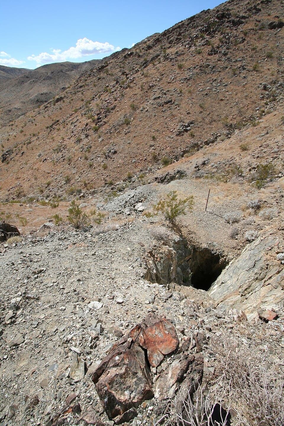
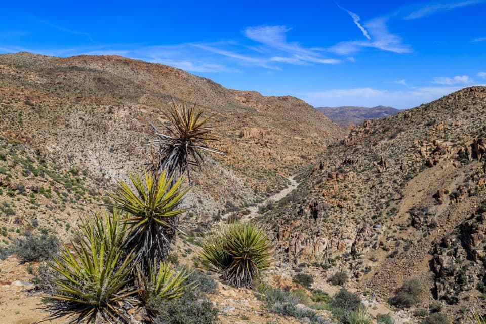
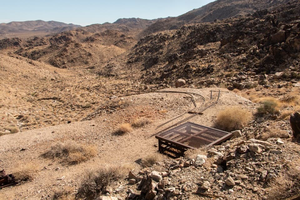
Desert Queen Mine is a scattered gold-mine landscape on a rocky Joshua Tree hillside, with ore bins, shafts and old equipment spread across the slope. It’s a good stop if mining history interests you; the payoff is exploring the remains of a working claim more than taking in one dramatic overlook. Reach it by an unpaved spur off Park Boulevard. The commonly described loop is about 1.8 miles round trip with roughly 180 feet of climbing.

Pick your routeThe opening stretch leads to a fork: take the overlook for a shorter visit, or drop toward the…

The opening stretch leads to a fork: take the overlook for a shorter visit, or drop toward the wash and climb to the mine workings. The full loop takes about 1 to 1½ hours in a recent route account. Side paths are less obvious, so save a map before you go. The mine shares its trailhead with Pine City, a separate walk.

What remainsLook for weathered timber ore bins, tailings, scattered machinery and tools, and the remains of…

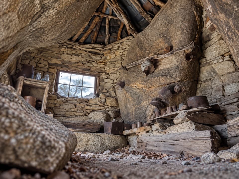
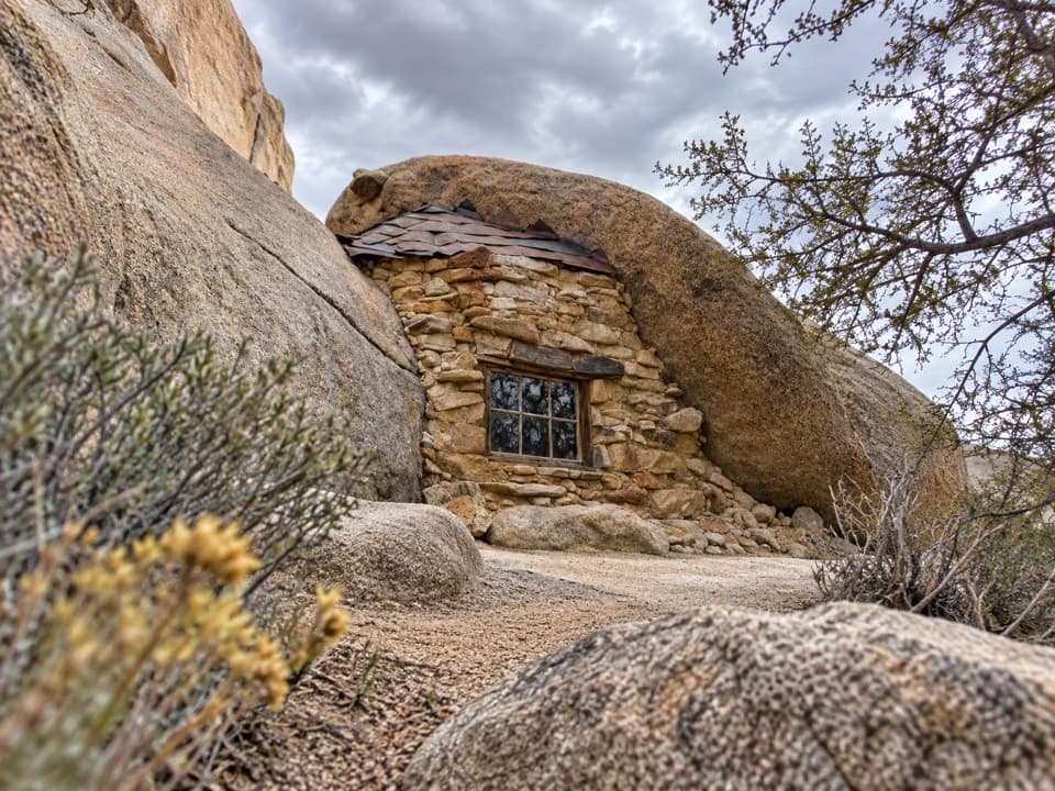
Look for weathered timber ore bins, tailings, scattered machinery and tools, and the remains of a small stone building. Shafts lie across the hillside rather than inside one preserved structure. Do not enter mine openings or cross closure barriers; the National Park Service warns that abandoned mine openings can cause severe injury or death. The route has little shade, so hot weather can make even this short hike a serious outing.

The mine’s historyNational Park Service records say the mine operated from 1895 to 1961 and identify William F.

National Park Service records say the mine operated from 1895 to 1961 and identify William F. Keys’ claim. The agency also notes conflicting accounts of the mine’s beginnings, so there isn’t one settled story about who first opened it. The shafts, tailings and equipment still spread across the slope make that history visible as you walk.

Wildlife

Wildlife in Joshua Tree

All Joshua Tree wildlife maps

Sighting maps show where each species has been reported across Joshua Tree. Wildlife moves, so no sighting is guaranteed.

Keep exploring

Near Desert Queen Mine

See it all on the map

Trails nearby

More stops nearby

Parkwolf’s Joshua Tree ranking

Top sights in Joshua Tree

All 64 places
  1. 1Keys ViewSight
  2. 2Skull RockSight
  3. 3Cholla Cactus GardenSight
  4. 4Arch RockSight
  5. 5Barker DamSight
  6. 6Keys RanchSight

Take Parkwolf to Joshua Tree.

The audio tour guide for the drive, plus offline maps, trails, and wildlife heatmaps for when the signal drops.

4.7 from 8,600+ ratings

Download Parkwolf on the App StoreGet Parkwolf on Google Play