Pine City Trail in Joshua Tree National Park

Joshua Tree National Park, CA

Pine City Trail

A desert walk to pinyons tucked among granite boulders.

Photo: Public Domain
Length
4mi
Time
2.5hr
Elev. change
135ft
Difficulty
Easy
  • No dogs
  • High point 4,580 ft
  • #20 of 60 in Joshua Tree

Hear the audio tour

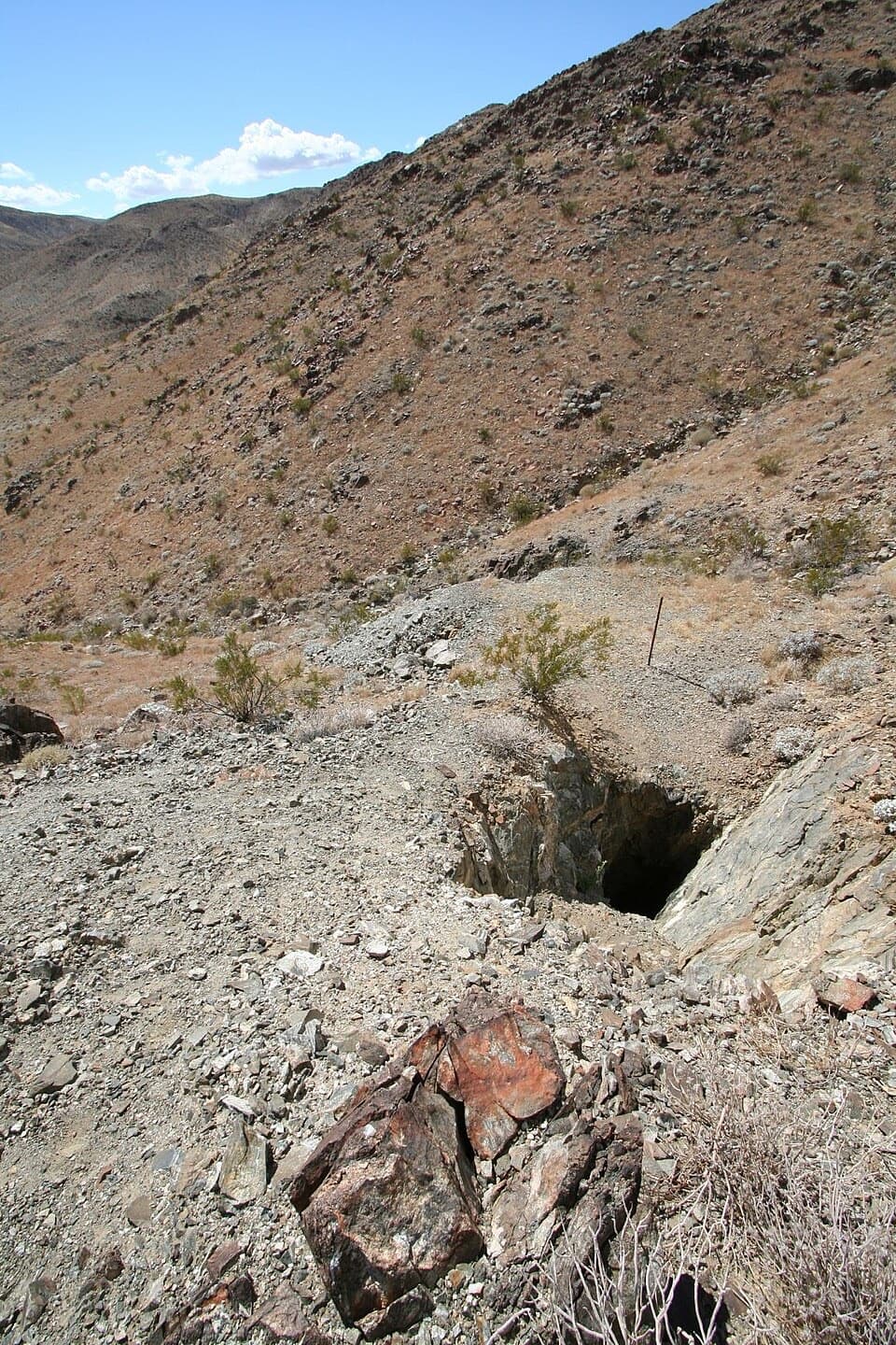
Desert Queen Mine from Pine City Trailhead

Overview

About Pine City Trail

Why go

  • A tucked-away pinyon grove among rounded granite boulders.
  • Mostly sandy walking with a gradual overall climb.

Heads up

  • The open approach has little shade and no water.
  • Branches near Pine City can make the route less obvious.
Pine City Trail is a 4-mile round-trip out-and-back from Pine City Trailhead to a tucked-away pocket of pinyon pines and boulders. Allow 2–3 hours. The approach is open and mostly sandy, with a gradual climb and a few steeper stretches. Go for a longer wander into a different side of Joshua Tree, not a quick roadside stop.
Parkwolf’s verdictIs this the hike for you?

Map & elevation

The route

Loading the Joshua Tree map
Full map
Elevation4,446–4,580 ft
TrailheadPine City Trailhead34.02369, -116.07774
Keep this map with you offline in the Parkwolf app

Plan your hike

Before you go

Parking

Park at Pine City Trailhead at the end of the dirt access road, about 1.3 miles north of Park Boulevard. NPS identifies the access as the east end of Queen Valley Road on the trailhead page and the end of Desert Queen Mine Road on its hiking page. Parking and an accessible vault toilet are listed; parking capacity and fees were not found.

Safety

The exposed approach has little shade and there is no water on the trail. The tread becomes less clear around Pine City junctions; carry an offline map. Pets are prohibited on this trail.

5 active Joshua Tree alerts

  • ClosureOasis of Mara Trail closed past the OasisThe Oasis of Mara Trail is closed past the Oasis due to a heavy flooding event; do not continue beyond the Oasis. Check current park conditions before visiting.Official details
  • ClosureSR 62 and US 95 closed by floodingFlooding has closed portions of SR 62 and US 95; avoid the closed segments.Official details
See all 5 alerts
A park ranger sits on a dash-mounted phone, talking, as Parkwolf’s Tour Guide plays “Army Cutworm Moths: A Grizzly Bear Buffet” on Grand Loop Road below Dunraven Pass in Yellowstone
Parkwolf Tour GuideThe highest, rockiest slopes around here are a summer buffet for grizzly bears.

Joshua Tree Tour Guide

Your drive to Pine City Trail, narrated.

Parkwolf is a GPS audio tour guide for Joshua Tree National Park. As you drive, it chimes in with what’s ahead: hidden gems, upcoming stops, history, geology, and wildlife, right through your car’s speakers.

See the Joshua Tree audio tour

Recorded for this trailhead

Desert Queen Mine from Pine City Trailhead
0:00 / 0:28
“The Pine City trailhead is coming up, with a short hike to Desert Queen Mine.”

Plays as you drive up to this trailhead in the Parkwolf Joshua Tree Tour Guide.

More stories near here in the app

  • Lucky Boy Loop: Mine Remains and Desert Wildlife
  • The Toad’s Borrowed Pool
  • The Rock Inside the Crack
  • Split Rock: A Short Stop or Longer Loop
  • 89 audio storiesacross Joshua Tree’s roads, triggered by GPS as you drive
  • Wildlife heatmapsfor Bighorn Sheep, Golden Eagle, Desert Tortoise, and 13 more
  • Works offlinemaps, 60 trails, 64 places, and audio download before you lose signal
  • CarPlay readysimple controls built for the drive
★★★★★
“Fantastic app with many points of information… It’s great to just turn on while you’re driving and it gives you an audio tour of the national Park. We love it!!!!”
JMJamesApp Store review
Download Parkwolf on the App StoreGet Parkwolf on Google Play

4.7 from 8,600+ ratings

Trail guide

Hiking Pine City Trail

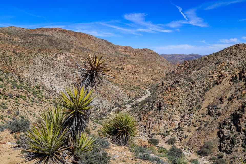
Route and wayfindingThe path heads north beside a seasonal wash, then turns northwest. Around 1.

The path heads north beside a seasonal wash, then turns northwest. Around 1.3 miles in, it drops into the boulder alcove at Pine City. Use that route back to the trailhead: the tread gets less clear around the junctions, and other branches continue toward separate destinations. A west spur reaches a north-facing valley view, and other branches lead toward separate destinations; those are optional extensions beyond this four-mile out-and-back. Bring an offline map so the turnaround stays clear.

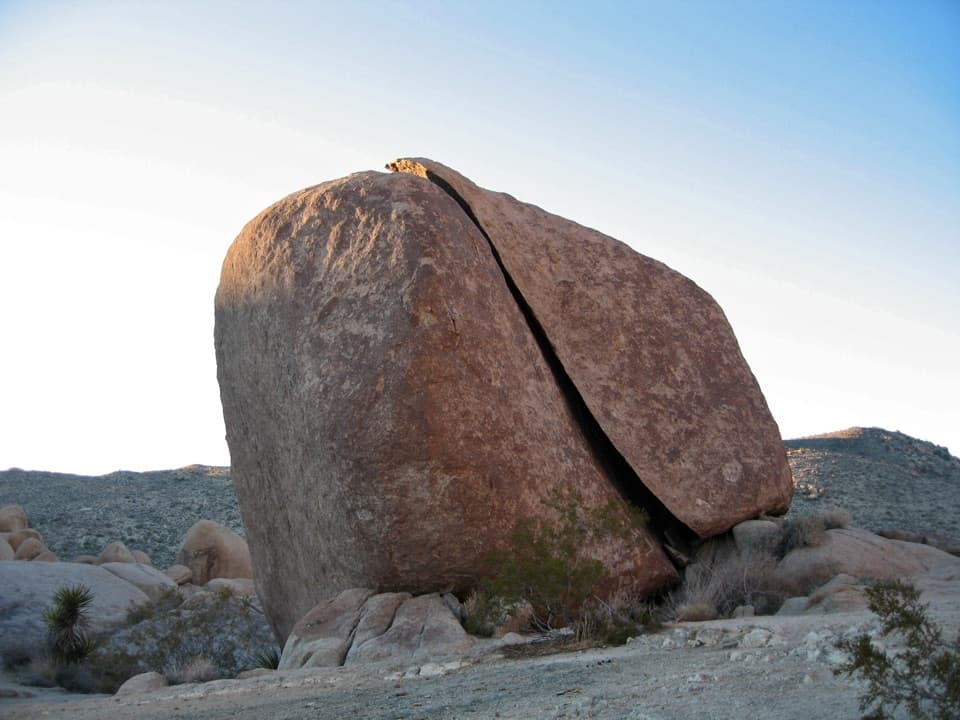
A pocket of pinyonPine City is a cluster of rounded granite boulders with pinyon pines tucked among them.

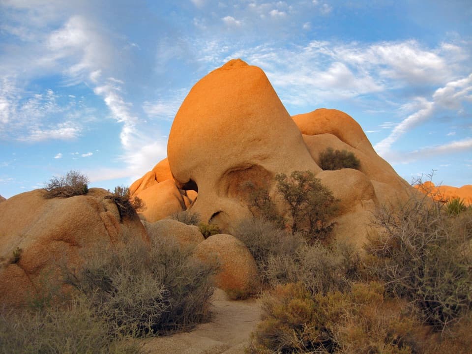
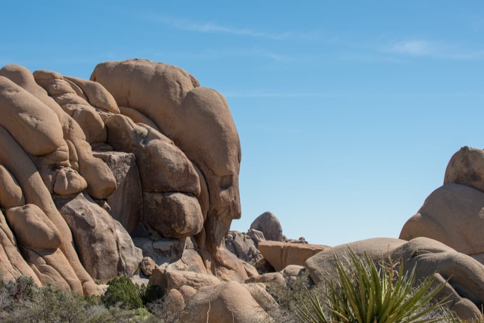
Pine City is a cluster of rounded granite boulders with pinyon pines tucked among them. The name comes from the trees, not a town. The rocks and seasonal wash make a cooler, moister pocket than the open approach, so the pinyons and junipers stand out against the Mojave scrub.

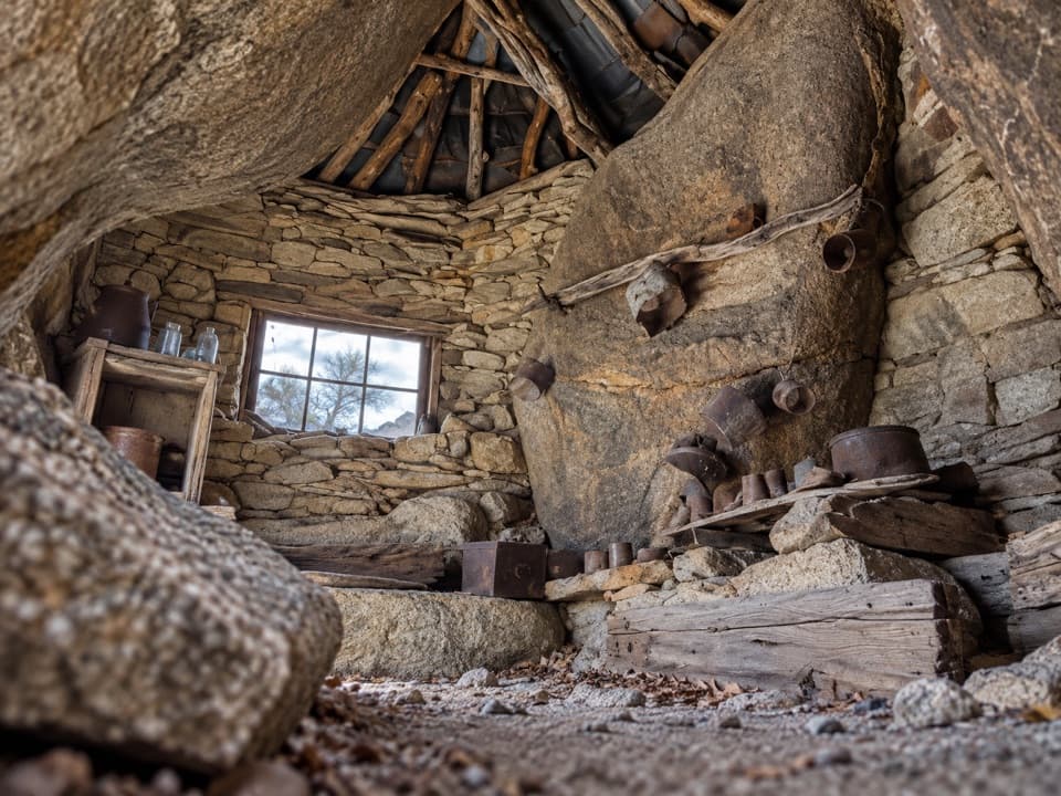
Mining tracesPine City also includes an old mining site among the boulders.

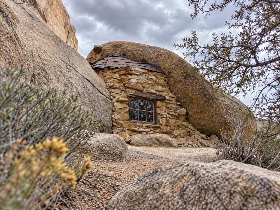
Pine City also includes an old mining site among the boulders. A small well and scattered log-cabin remains are described near the rock maze, a reminder that people used this pocket before it became a destination for hikers.

Desert plants and viewsThe exposed approach passes creosote, yucca, cholla, barrel cactus and Joshua trees; junipers…

The exposed approach passes creosote, yucca, cholla, barrel cactus and Joshua trees; junipers and pinyons become more noticeable near the rocks. At Pine City, look back through the boulders toward the open desert. A small rise above the grove gives a view over the rock maze and north across the valley; frame a pinyon against the granite to show the contrast between the grove and the dry approach.

Start and preparationThe trailhead has parking, an accessible vault toilet and a backpacking information board.

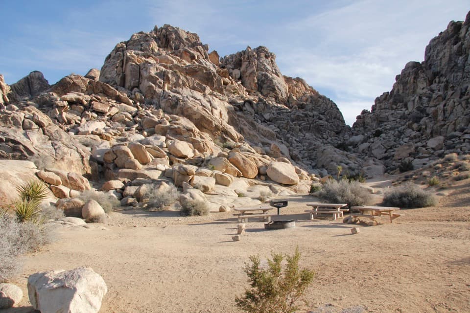
The trailhead has parking, an accessible vault toilet and a backpacking information board. There is no water on the route, and much of the approach has little shade, so carry water and plan for sun. Pets are not allowed on this trail.

Wildlife

Wildlife in Joshua Tree

All Joshua Tree wildlife maps

Sighting maps show where each species has been reported across Joshua Tree. Wildlife moves, so no sighting is guaranteed.

Keep exploring

Near Pine City Trail

See it all on the map

Trails that start nearby

Places near the trailhead

Parkwolf’s Joshua Tree ranking

Top-rated trails in Joshua Tree

All 60 trails
  1. 1Hidden Valley Nature TrailEasy · 1 mi
  2. 2Barker Dam Nature TrailEasy · 1.3 mi
  3. 3Ryan Mountain TrailChallenging · 3 mi
  4. 4Fortynine Palms Oasis TrailChallenging · 3 mi
  5. 5Lost Palms Oasis TrailChallenging · 7.5 mi
  6. 6Arch Rock TrailEasy · 1.3 mi

Take Parkwolf to Joshua Tree.

The audio tour guide for the drive, plus offline maps, trails, and wildlife heatmaps for when the signal drops.

4.7 from 8,600+ ratings

Download Parkwolf on the App StoreGet Parkwolf on Google Play